
Gunungkidul - TuguSelamatDatangPatuk
Yogyakarta, Indonesia — 0 km

The camera is temporarily offline
The owner's stream is not available right now. Try again later or watch a camera nearby.
Gunungkidul - TuguSelamatDatangPatuk2
🇮🇩 Yogyakarta · Indonesia — Altitude 270 m
This camera points at the welcome monument in Patuk, a town in the Gunungkidul regency south of Yogyakarta. It gives a steady view of a roadside landmark on a route used by travellers heading into the limestone hills. Use it to see traffic and road conditions before you set out.
Gunungkidul is a regency covering much of the southeastern part of the Special Region of Yogyakarta. Its landscape is dominated by karst: limestone hills, dry valleys and caves formed over long periods of rainfall dissolving the rock. The area is known for its quiet villages, small farms and coastline to the south, and it feels noticeably more rural than the city of Yogyakarta to the north. Patuk sits at a modest elevation, where the road begins to climb into the hills.
The title names a welcome monument, so the view centres on a roadside landmark rather than a wide scenic panorama. Depending on the framing, you may see passing motorbikes, trucks and local traffic, along with the surrounding roadside vegetation. Activity tends to be busiest in the morning and late afternoon, and during the wet season the greenery is at its fullest. Clear skies usually give the most detail, while cloud can soften the hills in the background.
Yogyakarta has a tropical climate with a wet season from roughly November to March and a drier period from April to October. Temperatures stay warm throughout the year, often around 25 to 32 degrees Celsius in the lowlands, and it is slightly cooler in the hills. The best time to travel through the area is during the drier months. Nearby cameras on the same network include Patuk, Perempatan Patuk and the Piyungan points in neighbouring Bantul.
Source: cctv.jogjaprov.go.id
Yogyakarta, Indonesia — 0 km
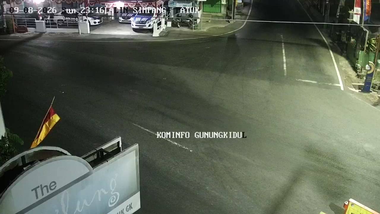
Yogyakarta, Indonesia — 0.2 km
Yogyakarta, Indonesia — 1.2 km
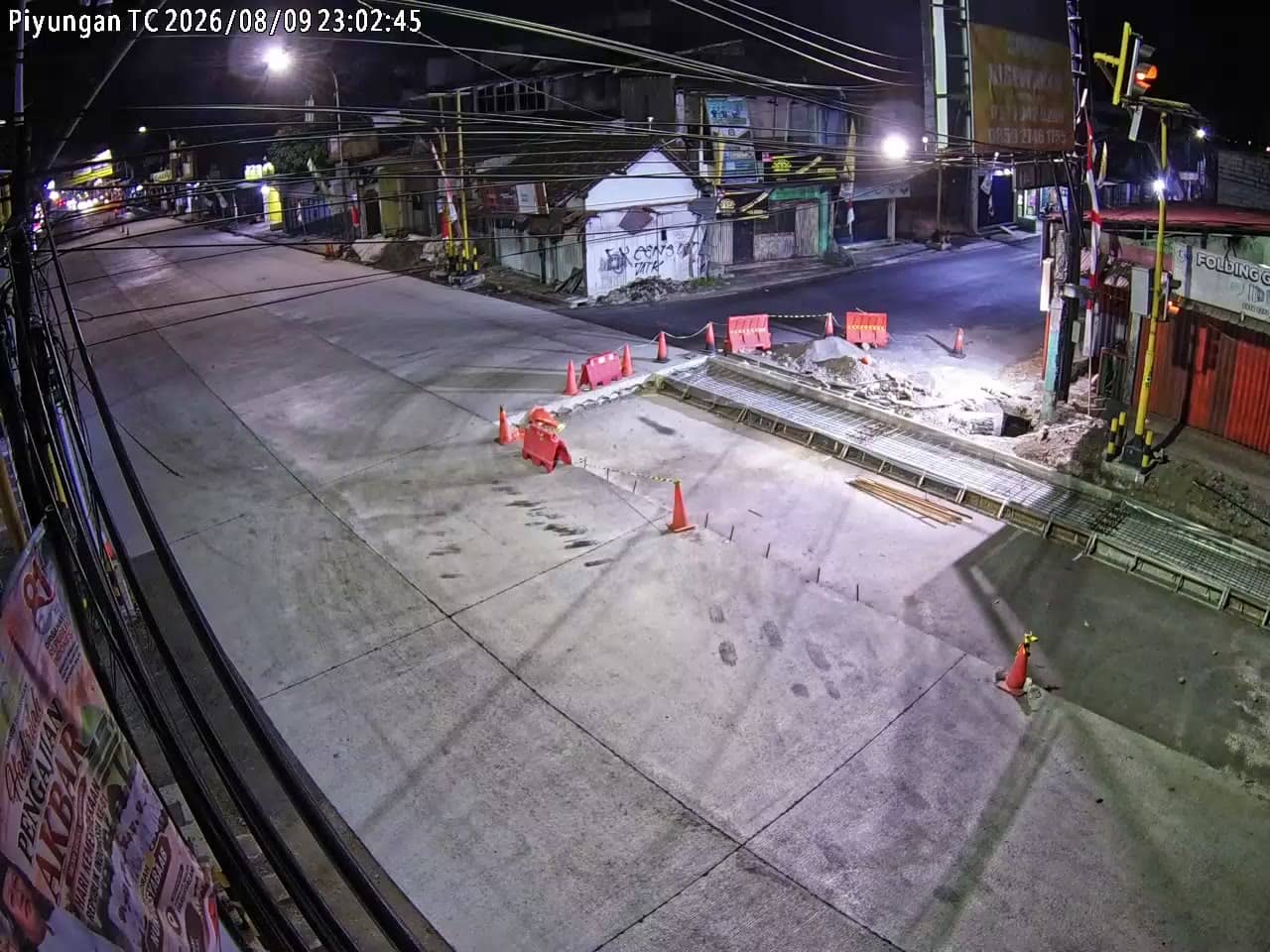
Yogyakarta, Indonesia — 1.2 km
Yogyakarta, Indonesia — 4 km
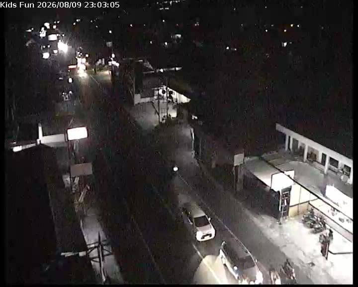
Yogyakarta, Indonesia — 4.7 km
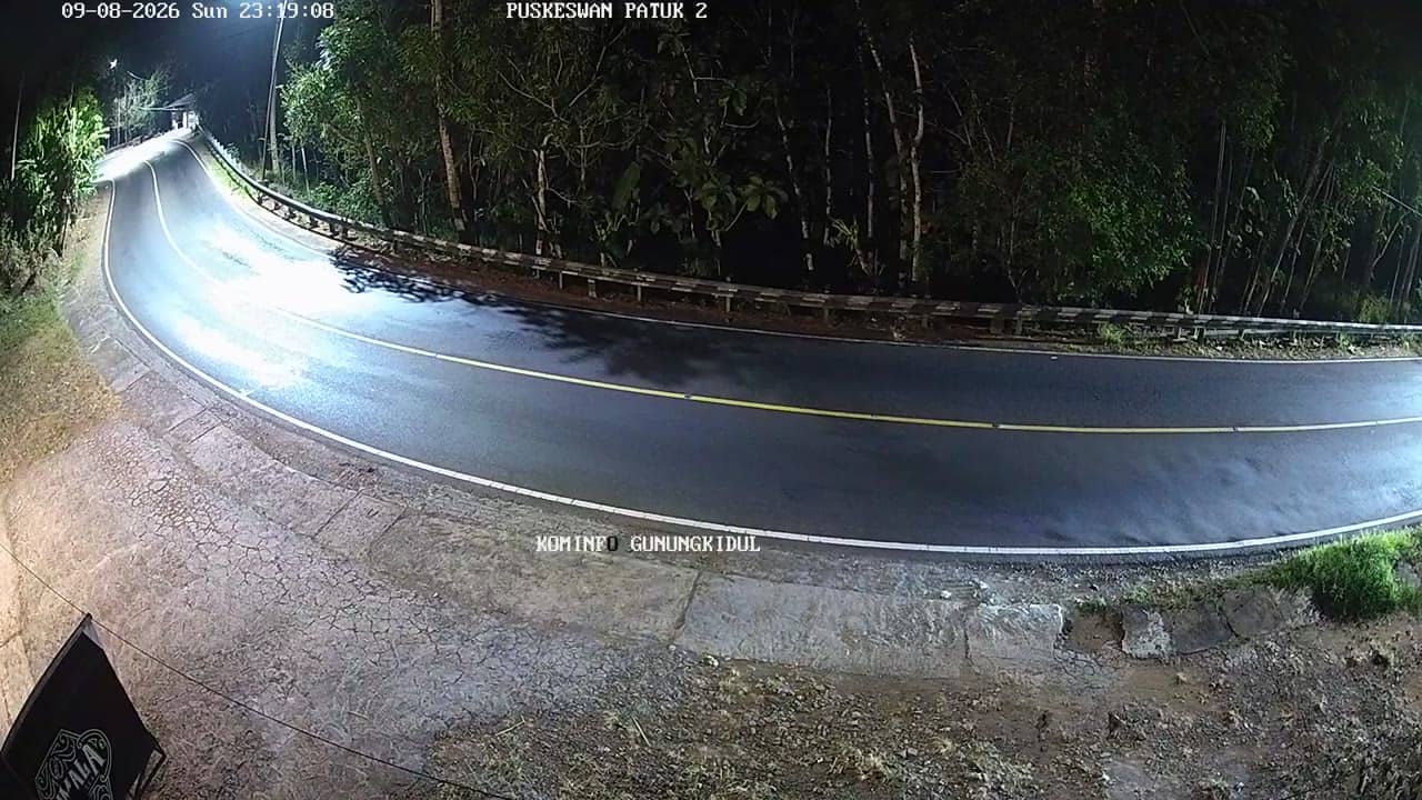
Yogyakarta, Indonesia — 4.7 km

Yogyakarta, Indonesia — 5.4 km

Yogyakarta, Indonesia — 5.4 km
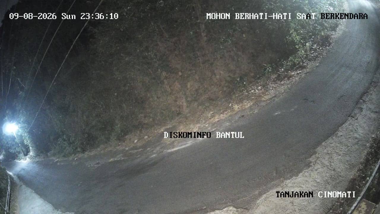
Yogyakarta, Indonesia — 5.7 km
The current conditions and the three-day forecast are shown in the live weather block on this page, updated automatically for the camera location.
The local time for Gunungkidul is displayed on this page, and it follows Western Indonesia Time, so it may differ from your own time zone.
The camera is in Patuk in the Gunungkidul regency, south of Yogyakarta, at an elevation of about 270 metres. The map on this page marks its position.
Morning and late afternoon usually bring the most traffic and clearest light. Check the live weather block to see whether clouds or rain are likely to affect the view.
Partner links: we may earn a commission at no extra cost to you.