
Sólheimajökull - Vue en direct de
Southern Region, Iceland — 37 km

Hagafell - Vue en direct de
🇮🇸 Southern Region · Iceland — Altitude 842 m
This live camera looks out over Hagafell, a hill in the Southern Region of Iceland, close to the glaciers and volcanoes that shape the landscape. It is a useful window for anyone planning a trip along the south coast or checking how conditions look before heading out on the road.
Hagafell sits at roughly 840 metres above sea level in the Southern Region, an area known for black sand plains, glacier tongues and volcanic activity. The landscape is open and treeless, with wind and cloud moving quickly across it. The region is one of the most visited parts of Iceland, largely because of the country's waterfalls, lava fields and the ice caps that rise to the north and east.
The view is mainly of open upland terrain, so the picture changes more with light and weather than with any human activity. Clear mornings and evenings often show the land in strong relief, while low cloud or precipitation can hide the hills entirely. Winter brings short days and snow, while the long summer light makes the landscape most visible for much of the day.
Southern Iceland has a cool, maritime climate, with summers that are mild rather than warm and winters that are wet and windy. Conditions can change within hours, so checking the live weather shown on this page is worthwhile before travelling. Nearby cameras include Sólheimajökull, about 37 km away, and Katla, Hella and Vestmannaeyjar further afield, which together give a broader picture of the region.
Source: livefromiceland.is
Southern Region, Iceland — 37 km
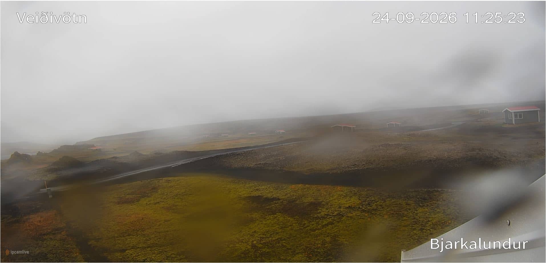
Southern Region, Iceland — 38 km
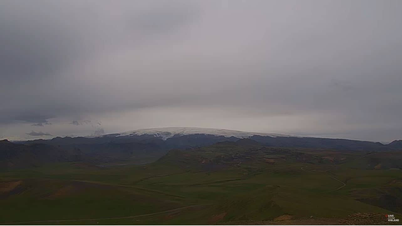
Southern Region, Iceland — 49 km
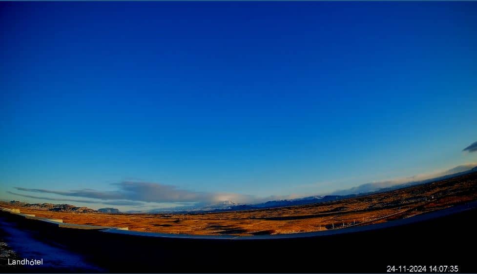
Southern Region, Iceland — 52 km
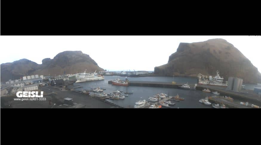
Southern Region, Iceland — 67 km

Southern Region, Iceland — 68 km

Southern Region, Iceland — 68 km

Southern Region, Iceland — 68 km

Southern Region, Iceland — 68 km

Southern Region, Iceland — 68 km
The current conditions and a three-day forecast for the area are shown in the live weather block on this page. Values update automatically, so they reflect the latest available data for the location.
The local time for Hagafell is displayed on this page and follows Iceland's time zone, which does not change for daylight saving. Use it to plan when to check the view.
The camera is in the Southern Region of Iceland at about 63.89 north and 19.35 west, at an elevation near 840 metres. The map on this page shows its position relative to nearby towns and glaciers.
Summer offers the longest hours of daylight and the clearest views, while winter brings snow and short days. Weather often matters more than time of day, so check the live conditions before expecting a clear picture.
Partner links: we may earn a commission at no extra cost to you.