
Sólheimajökull - Vue en direct de
Southern Region, Iceland — 13 km
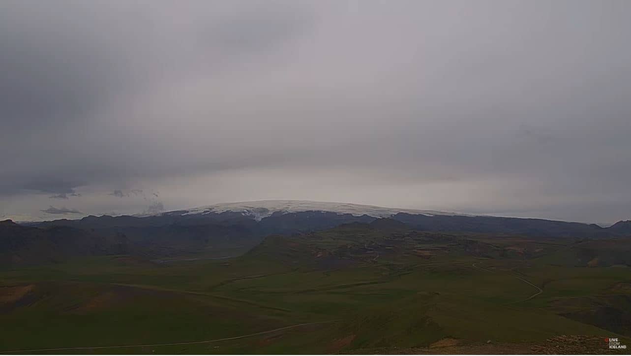
🇮🇸 Southern Region · Iceland — Altitude 49 m
This live camera looks toward Katla, one of Iceland's most active volcanoes, beneath the Mýrdalsjökull glacier in the Southern Region. People watch it to follow the landscape of glacier, ash plains and sky, and to check conditions before planning a trip along the south coast.
Katla sits under the Mýrdalsjökull ice cap, roughly in the middle of Iceland's southern coast. The area is known for its volcanic activity, its large subglacial caldera and dramatic scenery of black sand, moss-covered lava and glacier tongues. Weather here changes quickly, and fog or cloud often hides the summit for hours at a time.
The view centres on the volcanic landscape rather than people or buildings. Clear, low-sun periods in the long summer evenings tend to show the most detail on the ice and terrain, while winter brings short daylight and snow. Because conditions depend on cloud and visibility, the picture may be grey or empty for long stretches, so checking the live weather on this page first is useful.
The south coast is served by Route 1, the Ring Road, and summers are the most practical season for travel, with mild temperatures near 10 °C. Winters are windy and often icy. Nearby cameras on this site cover the Sólheimajökull glacier, Hagafell and the Vestmannaeyjar islands, which can help you compare conditions across the region.
Source: Katla Iceland Webcam
Southern Region, Iceland — 13 km

Southern Region, Iceland — 49 km
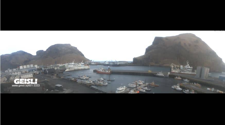
Southern Region, Iceland — 54 km

Southern Region, Iceland — 54 km

Southern Region, Iceland — 54 km

Southern Region, Iceland — 54 km

Southern Region, Iceland — 54 km

Southern Region, Iceland — 54 km

Southern Region, Iceland — 54 km
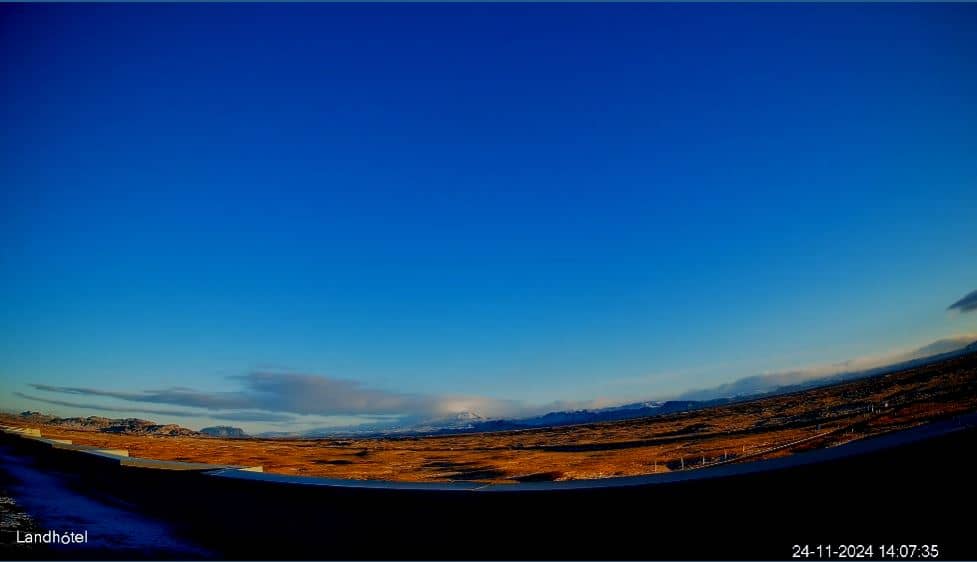
Southern Region, Iceland — 74 km
The current conditions and a 3-day forecast for Katla are shown in the live weather block on this page. Visibility near the glacier can change quickly, so check it before you go.
The local time for Katla is shown on this page. Iceland uses one time zone all year and does not observe daylight saving time, so the clock stays the same through the seasons.
The camera is located in Iceland's Southern Region, near the Mýrdalsjökull glacier, at about 49 metres altitude according to our records. The map on this page shows its position and nearby cameras.
Summer evenings, when the light is low and clear, often reveal the most detail. Expect long periods of cloud at any time of year, so the view may not always show the volcano.
Partner links: we may earn a commission at no extra cost to you.