
Hagafell - Vue en direct de
Southern Region, Iceland — 38 km
🇮🇸 Southern Region · Iceland
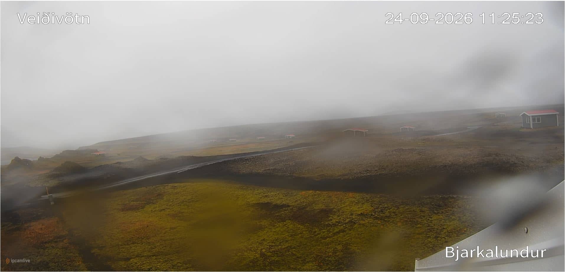
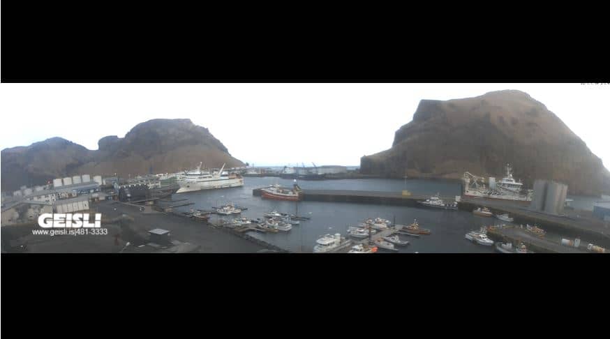
This live view looks toward Veiðivötn, a cluster of lakes in the highlands of southern Iceland. Use it to check how the highland landscape looks right now before you plan a trip or simply to follow conditions in a remote part of the island.
Veiðivötn lies inland from the south coast, in a volcanic zone of lava fields, craters and many small lakes. The area is known for trout fishing and for its stark, treeless scenery shaped by the Icelandic interior. It is one of the wilder places in the Southern Region, far from towns and services.
The view is most useful in clear daylight, when the lakes and surrounding terrain are easiest to read. Low cloud, rain and snow are common here and can hide the landscape for long periods, so the live weather on this page is worth checking alongside the picture. Watching at the start or end of the day can show changing light on the lava and water.
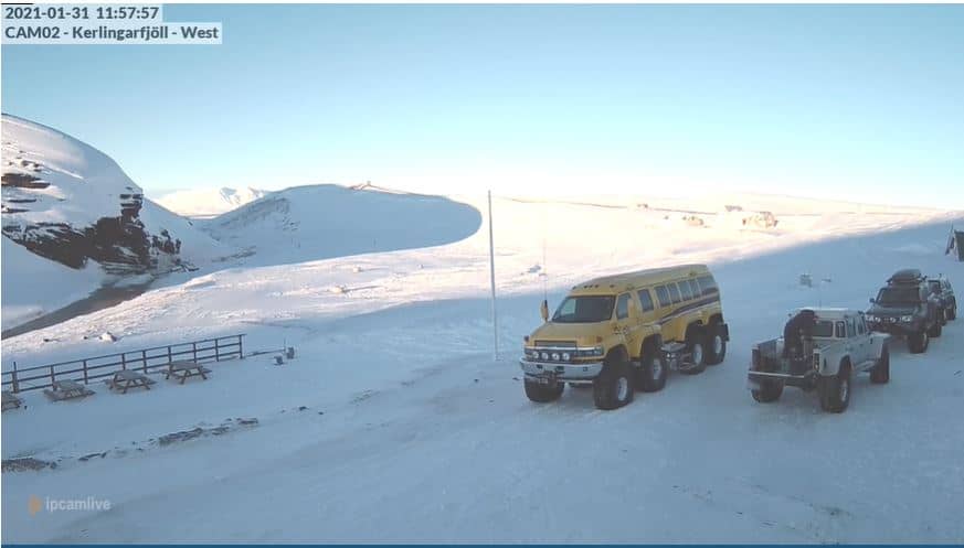
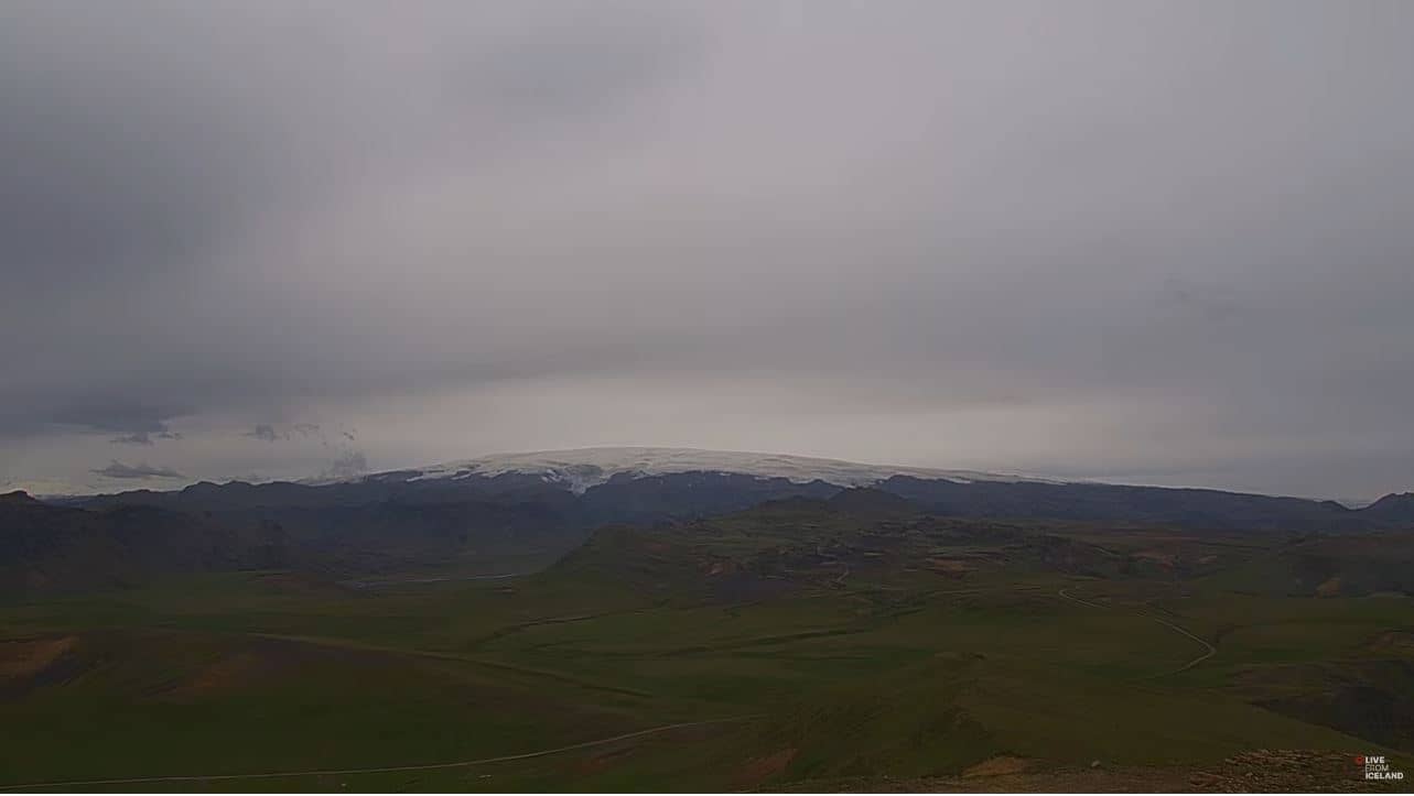
Summers are cool and the highlands are generally open only in the warmer months, when access roads are passable. Winters are long, cold and often stormy. Nearby cameras on this site include Hagafell, Kerlingarfjoll, Sólheimajökull and Katla, which show other parts of Iceland's highlands and glacier country.
Source: vision-environnement.com
Southern Region, Iceland — 38 km
Southern Region, Iceland — 66 km

Southern Region, Iceland — 69 km
Southern Region, Iceland — 78 km
Southern Region, Iceland — 86 km

Northwest Iceland, Iceland — 95 km
Southern Region, Iceland — 106 km

Southern Region, Iceland — 106 km

Southern Region, Iceland — 106 km

Southern Region, Iceland — 106 km
The current conditions and three-day forecast are shown in the live weather block on this page. Highland weather can change quickly, so check it before relying on the picture.
The local time for the camera is shown on this page and follows Iceland's time zone, which is the same as UTC all year round.
The camera is in southern Iceland, in the highland lake area inland from the south coast. The map on this page shows its position relative to nearby places.
Clear daytime hours give the most readable view. The highlands are often hidden by cloud, so the best moments are usually during breaks in the weather in the warmer months.
Partner links: we may earn a commission at no extra cost to you.