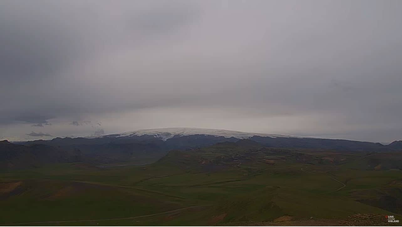
Katla
Southern Region, Iceland — 13 km

Sólheimajökull - Vue en direct de
🇮🇸 Southern Region · Iceland — Altitude 461 m
This camera looks toward Sólheimajökull, an outlet glacier of the Mýrdalsjökull ice cap in southern Iceland. It is useful for checking how the ice and surrounding terrain look right now before you plan a trip to the glacier.
Sólheimajökull flows down from the Mýrdalsjökull ice cap, which sits over the Katla volcano. The tongue is dark with volcanic ash in places, and its meltwater feeds the river plain below. The landscape around it is raw and open, shaped by ice and floods, with black sand, moss-covered lava and steep moraine ridges. Many visitors come here for guided glacier walks, which are offered from the car park near the ice margin.
Because the title names the glacier, the view is likely to centre on the ice tongue and its margin, though the exact framing is not described here. Glaciers change with the season: meltwater runs strongest in summer, and cloud often hides the upper ice in autumn and winter. Long daylight in summer means the camera is useful at almost any hour, while in winter the short days make the view mainly a check on conditions and visibility.
Southern Iceland has a cool maritime climate with strong winds and rapidly changing weather, so the live weather on this page is worth checking before you go. Summer is the most accessible season for walks, while winter brings ice-climbing tours and lower crowds. Other cameras in the region include Katla, about 13 km away, and the Vestmannaeyjar views on the coast about 50 km off.
Source: livefromiceland.is
Southern Region, Iceland — 13 km

Southern Region, Iceland — 37 km
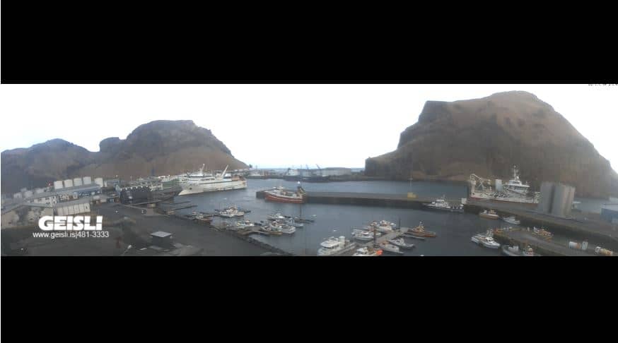
Southern Region, Iceland — 50 km

Southern Region, Iceland — 50 km

Southern Region, Iceland — 50 km

Southern Region, Iceland — 50 km

Southern Region, Iceland — 50 km

Southern Region, Iceland — 50 km

Southern Region, Iceland — 50 km
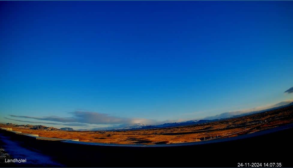
Southern Region, Iceland — 62 km
The current conditions and a three-day forecast for the area are shown in the live weather block on this page. Wind and cloud can change quickly near the glacier, so check it before you set out.
The local time for the glacier is shown live on this page, and it follows Iceland's time, which does not change for daylight saving.
The camera is on the southern side of Iceland at roughly 63.56 N and 19.30 W, at about 461 metres above sea level, near the glacier tongue of Sólheimajökull.
Summer offers the longest daylight and the clearest access to the ice, while autumn and winter views depend more on cloud cover. Early mornings often bring calmer conditions.
Partner links: we may earn a commission at no extra cost to you.