Ciudad Nueva - HRPC
National District, Dominican Republic — 3.8 km

Saint-Domingue - Vue sur la ville depuis la tour de Color Visión (canal 9)
🇩🇴 National District · Dominican Republic — Altitude 60 m
This camera looks out over Santo Domingo, the oldest continuously inhabited European-founded city in the Americas, from a broadcast tower on the channel 9 site. It is useful for seeing how the capital's skyline and the Caribbean coast look right now, before you plan a day or check conditions from a distance.
Santo Domingo sits on the southern coast of the Dominican Republic, on the mouth of the Ozama River. Founded in 1496, it holds the colonial walled district with cathedrals, plazas and some of the first stone buildings in the New World. Today it is a busy city of modern towers, markets and avenues running down toward the Caribbean Sea, with a warm tropical atmosphere shaped by the coast and the river.
The camera is mounted on a city tower, so its frame is likely to take in urban rooftops, streets and the distant coastline, though the exact view depends on the direction and weather. Clear mornings tend to give the sharpest image. Late afternoon can bring warm light over the buildings, and tropical showers often build quickly, so you may see changing cloud over the city.
Santo Domingo is hot and humid for most of the year, with the rainy season running roughly from May to November and frequent afternoon storms. The cooler, drier months from December to April are generally the most comfortable. Nearby on VizCams you can open the Ciudad Nueva camera about 4 km away, and the Cabarete and Puerto Plata views for other parts of the north coast.
Live weather and local time are shown on this page, so you can compare the picture with current conditions before deciding when to watch or visit.
Source: myearthcam.com
National District, Dominican Republic — 3.8 km
Puerto Plata, Dominican Republic — 149 km

Puerto Plata, Dominican Republic — 164 km

Puerto Rico — 405 km
Puerto Rico — 412 km

Puerto Rico — 412 km
Turks and Caicos Islands, Turks & Caicos Islands — 436 km

Turks and Caicos Islands, Turks & Caicos Islands — 437 km
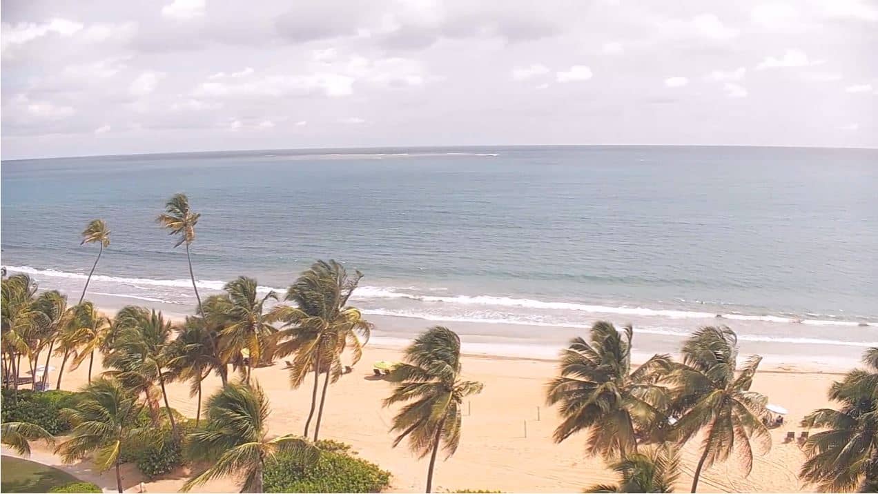
Puerto Rico, United States — 439 km
North Caicos, Turks & Caicos Islands — 440 km
The current conditions and a three-day forecast are shown in the live weather block on this page, updated with the page.
The local time in Santo Domingo is displayed on this page. The city uses Atlantic Standard Time all year without daylight saving.
The camera is on the Color Visión tower in Santo Domingo, the capital of the Dominican Republic. A map on the page marks its location.
Mornings and late afternoons usually give the clearest light over the city. Check the live weather first, since afternoon storms can reduce visibility.
Partner links: we may earn a commission at no extra cost to you.