Providenciales - Villa Renaissance Turks & Caicos Is
Turks and Caicos Islands, Turks & Caicos Islands — 1.7 km
🇹🇨 Turks and Caicos Islands · Turks & Caicos Islands — Altitude 17 m
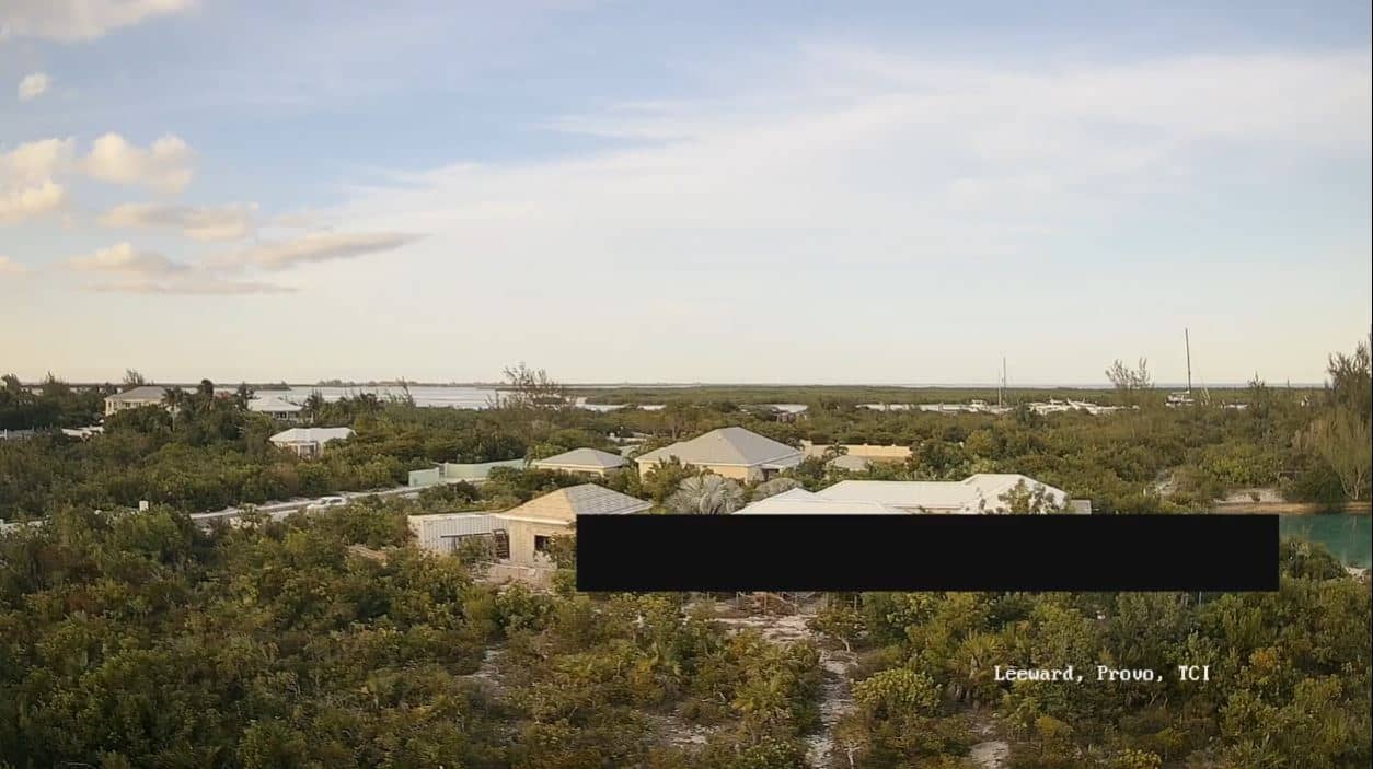
This live camera looks out over Leeward in the Turks and Caicos Islands, a low-lying Caribbean setting of flat land, shallow water and open sky. It is useful for checking conditions before planning a day by the coast or a boat trip. The page also shows local time and the forecast for the islands.
Leeward sits in the Turks and Caicos, a British Overseas Territory made up of low coral islands south-east of the Bahamas. The landscape is mostly flat, with salt flats, scrub, and beaches fringed by turquoise water that shallows quickly over sand. Tourism and fishing shape daily life, and the islands are known for their clear water and quiet, unhurried pace away from the larger resorts.
The camera's title names only the place, so the exact view depends on its position, and you may see open water, beach, sky or low vegetation. Trade winds keep the air moving most of the year, so the surface of the sea often changes noticeably from hour to hour. Early morning and late afternoon usually give softer light and clearer contrast on the water, while midday brings the strongest sun.
The islands have a warm tropical climate, with temperatures staying fairly steady through the year. The drier months from roughly late winter to spring are generally the most comfortable for visiting, while the hurricane season runs from June to November and is worth checking before you travel. Providenciales is the main island and has the airport and most services. Nearby cameras on the page include Providenciales and Whitby.
Source: Marius Vultur
Turks and Caicos Islands, Turks & Caicos Islands — 1.7 km
North Caicos, Turks & Caicos Islands — 27 km

Puerto Plata, Dominican Republic — 272 km
Puerto Plata, Dominican Republic — 291 km

National District, Dominican Republic — 436 km
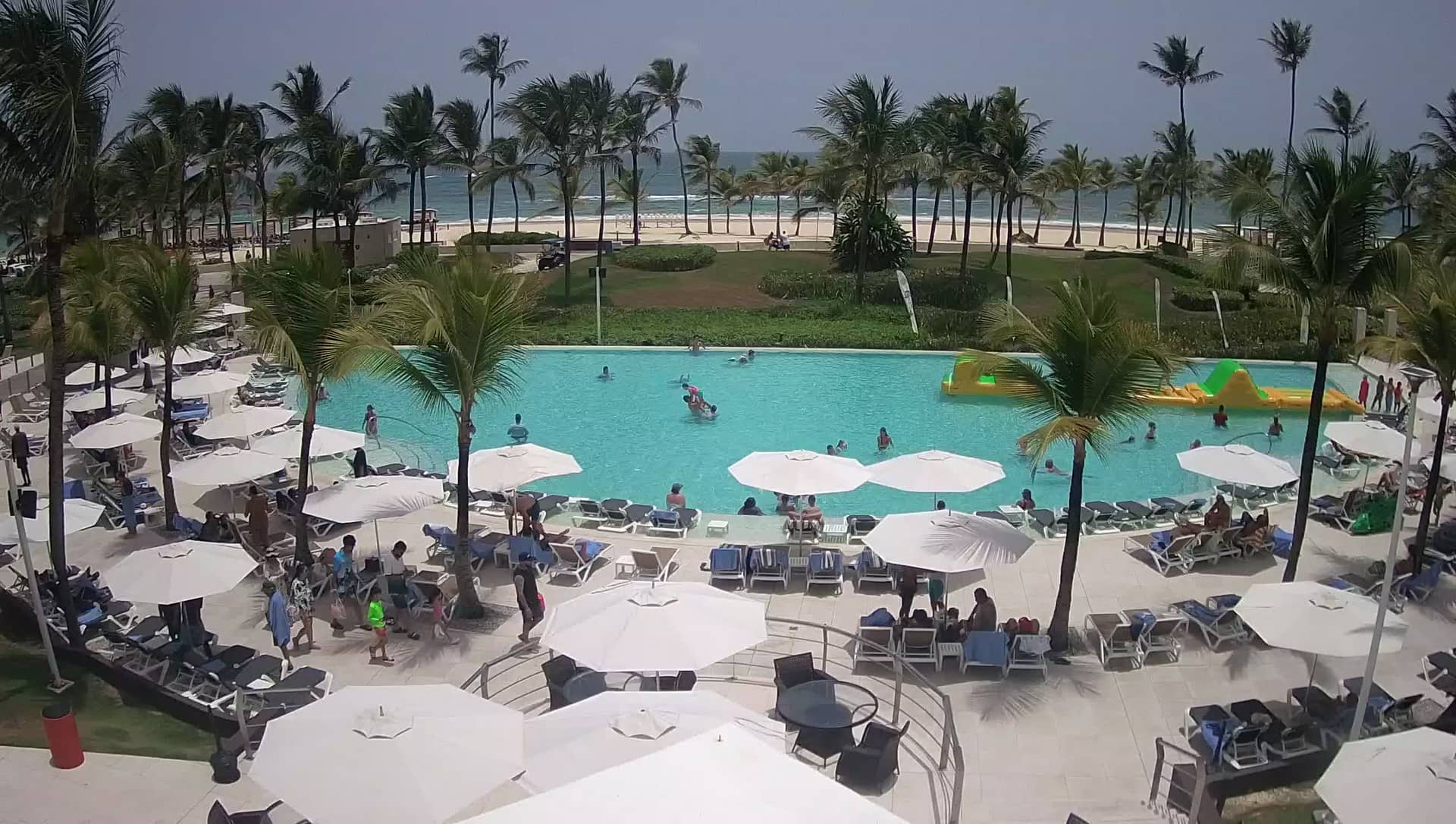
National District, Dominican Republic — 439 km
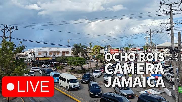
Saint Ann, Jamaica — 638 km
Kingston, Jamaica — 640 km
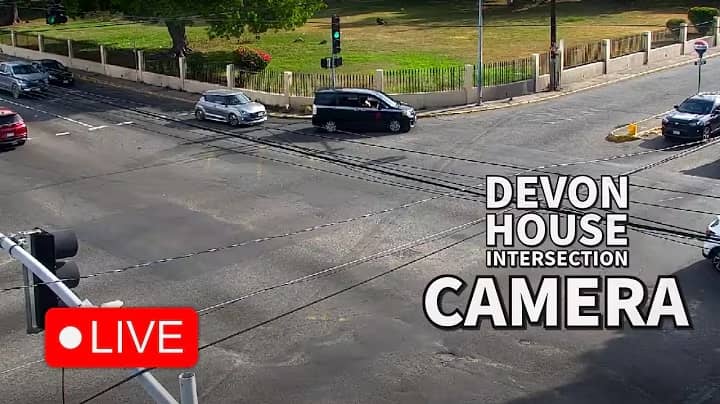
Saint Andrew, Jamaica — 640 km
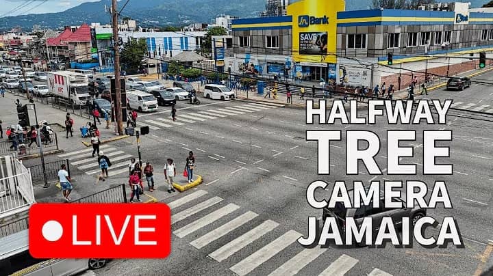
Saint Andrew, Jamaica — 641 km
The current conditions and a three-day forecast for the area are shown in the live weather block on this page. They update automatically, so you can check them alongside the camera view.
The local time for Leeward is displayed on this page and updates live. The islands keep a single time zone throughout the year.
The camera is in Leeward in the Turks and Caicos Islands, at about 21.79 degrees north and 72.17 degrees west, close to sea level. The map on this page shows its position.
Daytime hours give the clearest view, and early morning or late afternoon often show the best light on the water. Check the weather block first to see whether the sky and sea are calm.
Partner links: we may earn a commission at no extra cost to you.