Fajardo - El Conquistador Resort - El Yunque Rainforest
Fajardo, Puerto Rico — 36 km
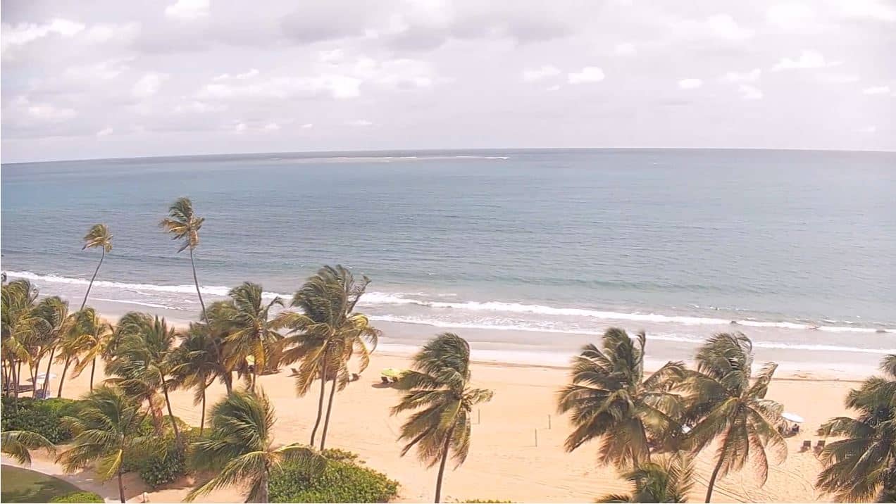
Palmas del Mar - Humacao
🇺🇸 Puerto Rico · United States — Altitude 5 m
This live camera looks out over Palmas del Mar, a planned resort community on the eastern coast of Puerto Rico near Humacao. It is a handy way to check how the coast looks and feels right now before you plan a day by the water. The page adds local time and weather so you can read the conditions at a glance.
Palmas del Mar sits on the Caribbean shore of the Humacao area, a short drive from the main road that links San Juan with the southeast of the island. The development grew around golf courses, marinas and a long stretch of coastline, and it is known as a quiet, low-key base compared with the busier resorts farther west. The landscape is typical of the island's east: green hills behind flat coastal land, warm sea air and water that shifts from turquoise to deep blue further out.
Because the title names a place rather than a specific landmark, the exact view depends on the setup of the feed, so you may see open water, the shoreline or the development's grounds. Mornings are usually calm, with the sea at its flattest, while afternoons often bring stronger wind and more cloud over the hills. Watching the sky and water before heading out is one of the most practical uses of a stream like this.
Puerto Rico has a tropical climate with warm temperatures through most of the year. The main rain season runs from roughly May to November, and the Atlantic hurricane season peaks in late summer and early autumn, so check conditions before travelling in those months. Drier weather is more common from December to April. San Juan airport is the nearest major hub, and the other cameras nearby, including the one at San Juan's Royal Sonesta, show other parts of the island.
Source: Palmas del Mar Webcam
Fajardo, Puerto Rico — 36 km
Fajardo, Puerto Rico — 36 km
Fajardo, Puerto Rico — 36 km

Puerto Rico — 47 km
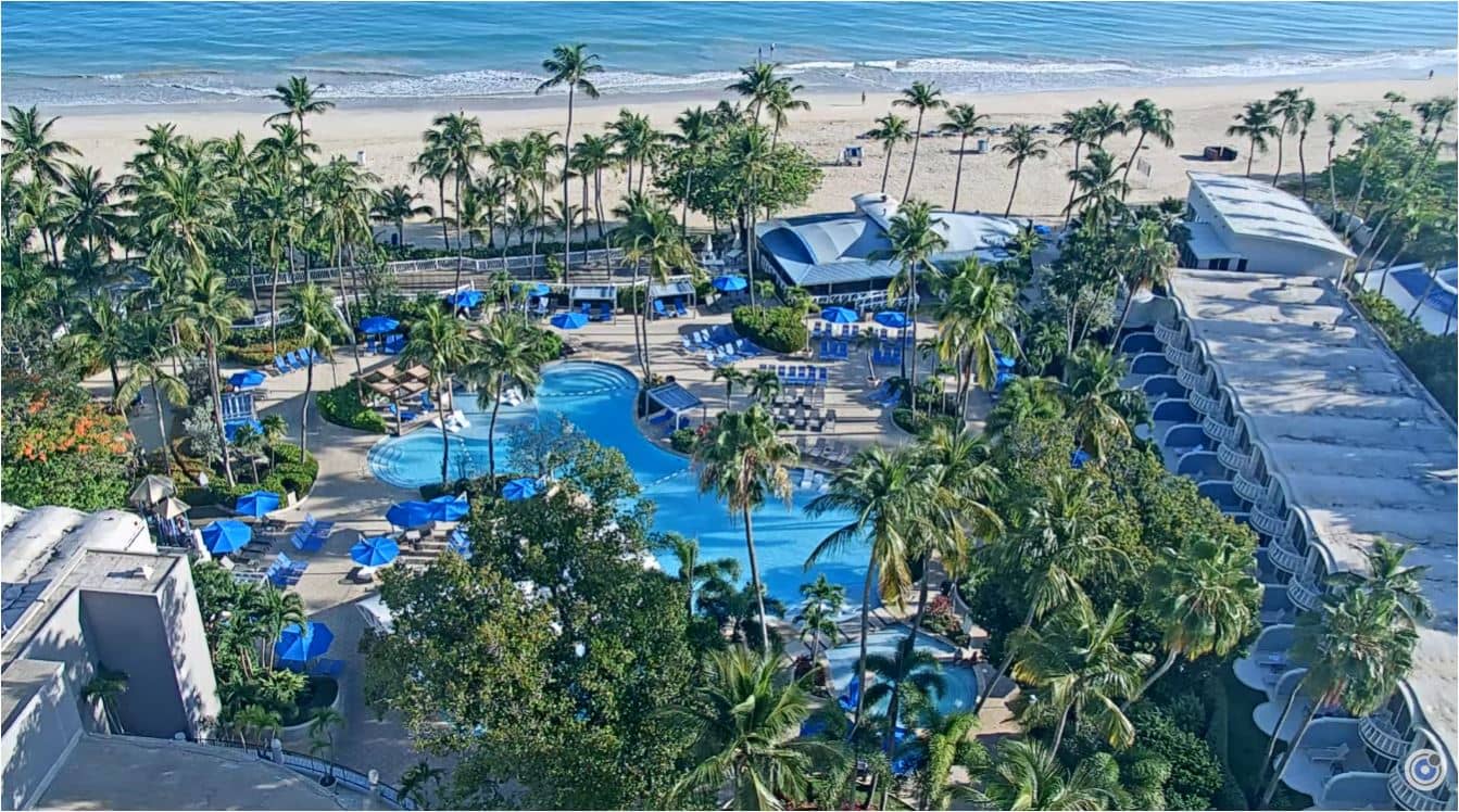
Puerto Rico — 47 km

Puerto Rico — 52 km
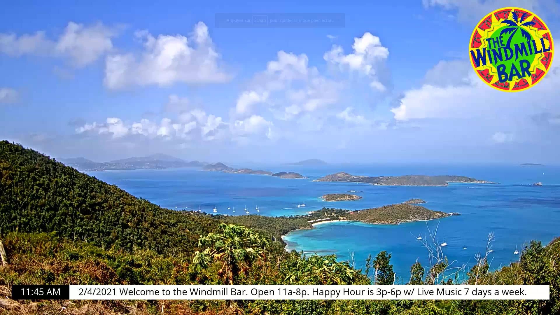
U.S. Virgin Islands, United States — 112 km
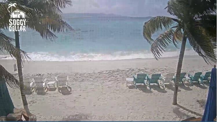
British Virgin Islands — 116 km

U.S. Virgin Islands, United States — 117 km
U.S. Virgin Islands, United States — 122 km
The current conditions and the three-day forecast are shown in the weather block on this page, updated as you load it. The temperature, wind and sky shown there reflect the local coast.
The local time is displayed on this page and follows Puerto Rico's time zone, which stays on the same offset throughout the year and does not change for daylight saving.
The camera is on Puerto Rico's east coast in the Palmas del Mar area near Humacao. The map on the page shows the precise position of the camera.
Mornings tend to be calm and clear, while afternoons can bring wind and cloud. Checking in during the drier months from December to April gives the most consistent view.
Partner links: we may earn a commission at no extra cost to you.