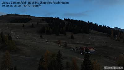
Lienz - Zettersfeld - vue sur le domaine skiable de la Faschingalm
Tyrol, Austria — 8 km
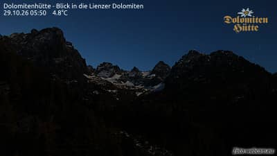
Dolomitenhütte - Vue sur les Dolomites de Lienz
🇦🇹 Tyrol · Austria — Altitude 1620 m
This live camera looks out from the Dolomitenhütte, a mountain hut in East Tyrol, toward the peaks of the Lienz Dolomites. It is a useful way to judge the mountain conditions and cloud cover above the Lienz basin before planning a day in the area. The live player is embedded from the source, and the local weather and time are shown below it.
The Lienz Dolomites are a limestone range in East Tyrol, close to the border with Italy and the Carinthian region. Lienz itself sits in a broad valley where the Drau and Isel rivers meet, and the town serves as the main base for walkers and climbers exploring these peaks. The landscape is dramatic, with steep rock faces, alpine meadows and deep valleys carved by glaciers in earlier periods of the region's history.
Because the title names the Dolomites from a mountain hut, the view is likely dominated by ridges and summits rather than town streets. Mountain views change quickly with cloud and light, so mornings often bring clearer skies, while afternoon clouds can build over the peaks in summer. Snow on the higher summits is typical in winter and spring, and watching the cloud base can give a sense of how stable the weather is.
East Tyrol has a continental-alpine climate with warm summers and cold, snowy winters, and the best period for hiking is usually from June to September. Lienz is well connected by road and rail through the Drau valley. Nearby on VizCams are the Zettersfeld views above Lienz, the Ederplan camera in Rangersdorf and the Penzelberg view in Winklern, which help compare conditions across the area.
Source: foto-webcam.eu
Tyrol, Austria — 8 km
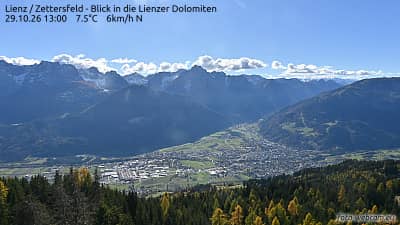
Tyrol, Austria — 8 km
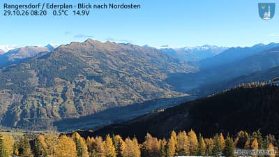
Tyrol, Austria — 9.5 km
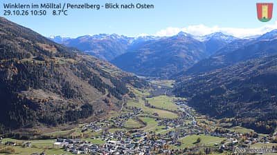
Carinthia, Austria — 11 km
Carinthia, Austria — 11 km
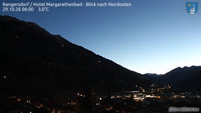
Carinthia, Austria — 13 km
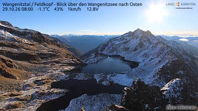
Tyrol, Austria — 15 km
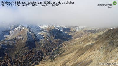
Tyrol, Austria — 15 km
Carinthia, Austria — 16 km
Carinthia, Austria — 18 km
The current conditions and a 3-day forecast are shown in the weather block below the live player. They update with the page, so check them before you plan a walk or drive to the area.
The local time for this camera is shown on the page. Austria uses Central European Time, with summer time from spring to autumn, so the displayed clock follows the local setting.
The camera is at a mountain hut in Tyrol, Austria, at an altitude of about 1620 metres. The map on the page marks its position relative to Lienz and the surrounding Dolomites.
Clear mornings in summer and early autumn usually give the sharpest views of the peaks. Winter and spring can show fresh snow on the summits, but cloud cover is more frequent in the afternoons.
Partner links: we may earn a commission at no extra cost to you.