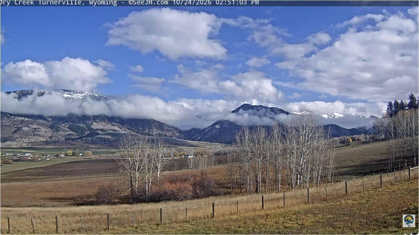
Bedford - Vue sur Star Valley
Wyoming, United States — 20 km
🇺🇸 Wyoming · United States — Altitude 1887 m
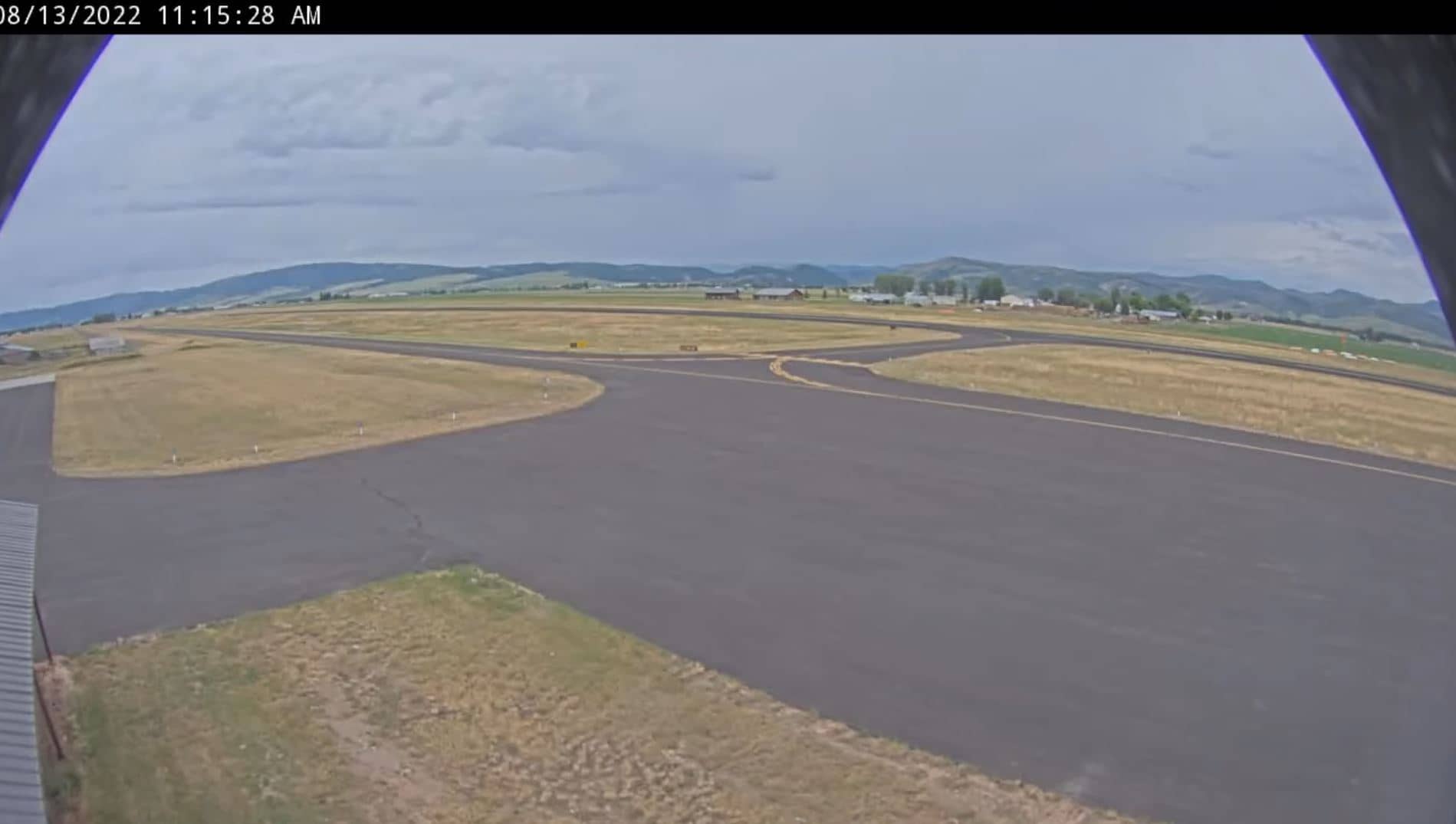
This live view looks out from the Afton airport in western Wyoming, a small town in the Star Valley at roughly 1,900 metres above sea level. It suits anyone checking mountain conditions, sky and weather before travelling through the Intermountain West or planning a trip to the Greater Yellowstone area.
Afton is the seat of Lincoln County and lies in the Star Valley, a broad green basin framed by the Salt River Range to the west and the Wyoming Range to the east. The town is known as a base for ranching, hunting and outdoor recreation, and it sits within reach of the Salt River Range ski terrain. The high-desert and mountain landscape around it changes sharply with the seasons.
The feed is a view from an airport, so it is most useful for judging sky, cloud cover, visibility and general weather. Depending on the angle, you may see mountain ridgelines, open fields and runway activity. Mornings often bring clearer air, while afternoon clouds can build over the peaks in summer. Winter views can show snow cover that changes quickly with storms.
Afton has a cold semi-arid climate with long, snowy winters and short, mild summers. The best time to visit for hiking and scenery is generally from late June to September, while winter suits snow sports. The nearby Alpine camera, about 53 km away, offers another mountain view, and the Snake River camera lies roughly 72 km off, covering river and valley conditions.
Source: Afton Airport
Wyoming, United States — 20 km

Wyoming, United States — 52 km
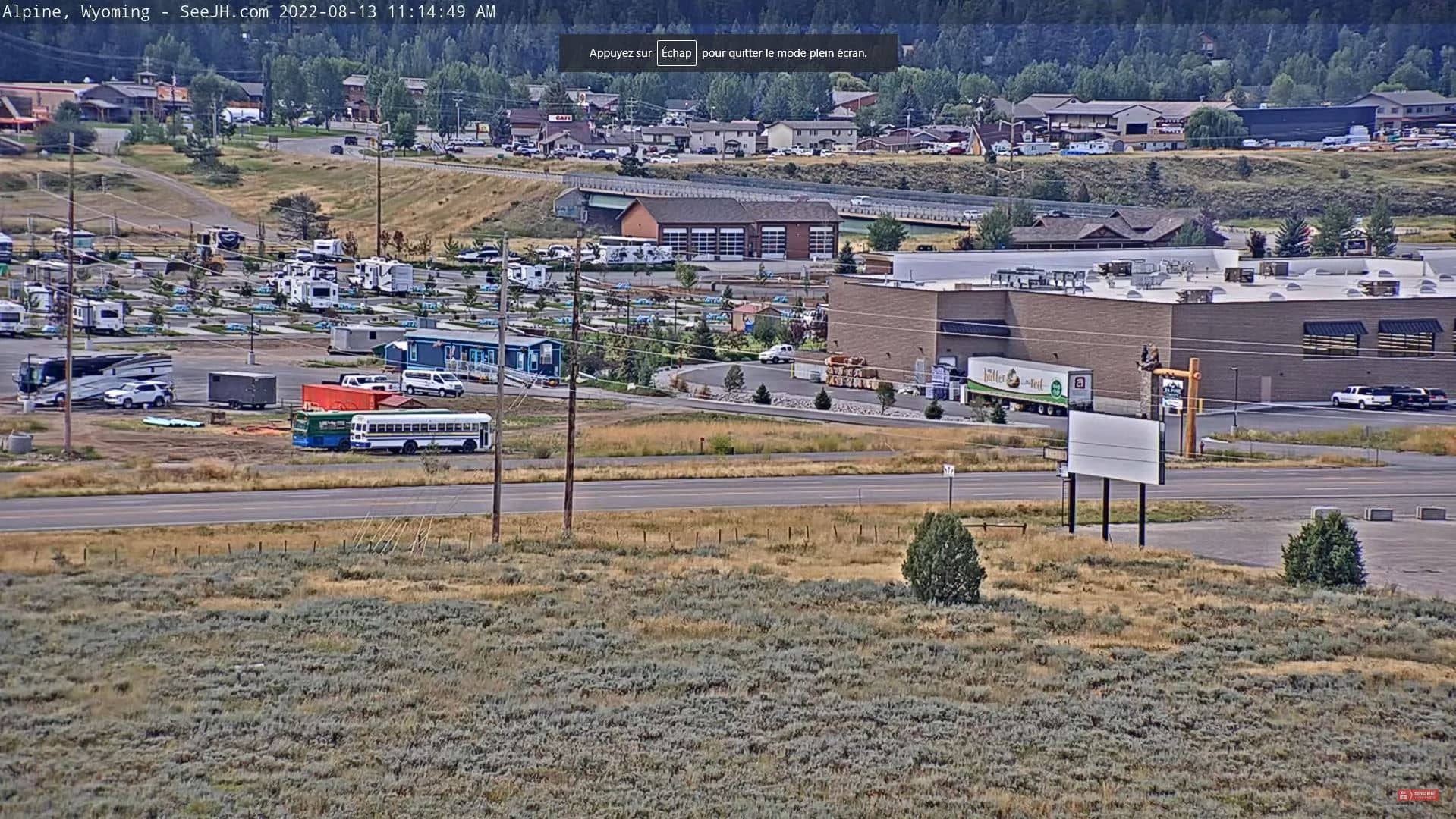
Wyoming, United States — 53 km
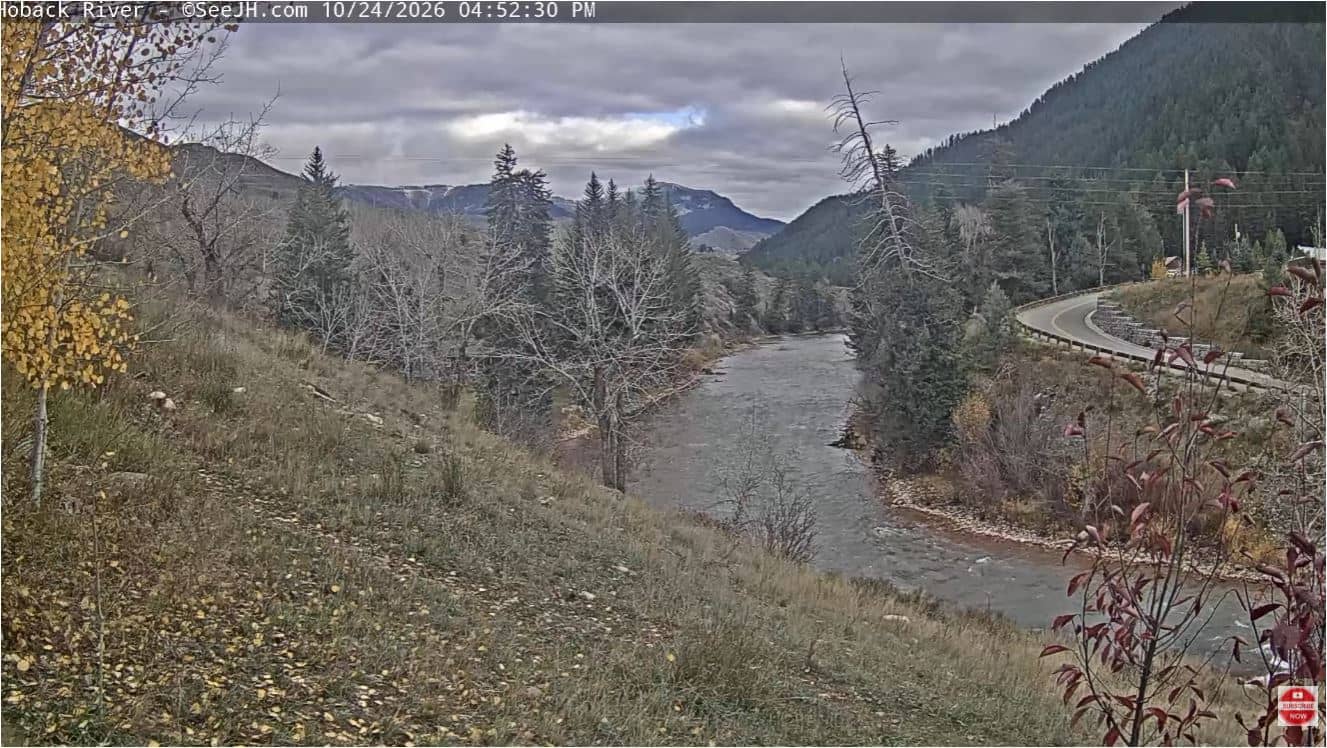
Wyoming, United States — 69 km
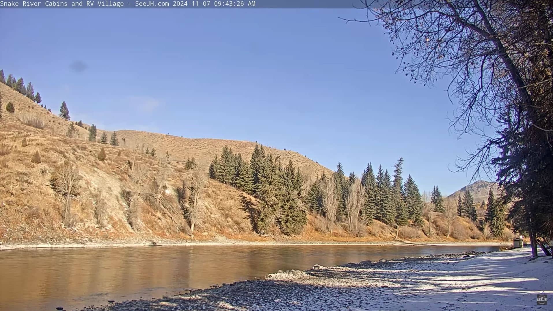
Wyoming, United States — 72 km

Idaho, United States — 81 km
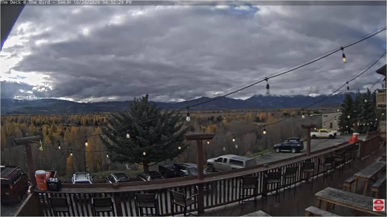
Wyoming, United States — 81 km
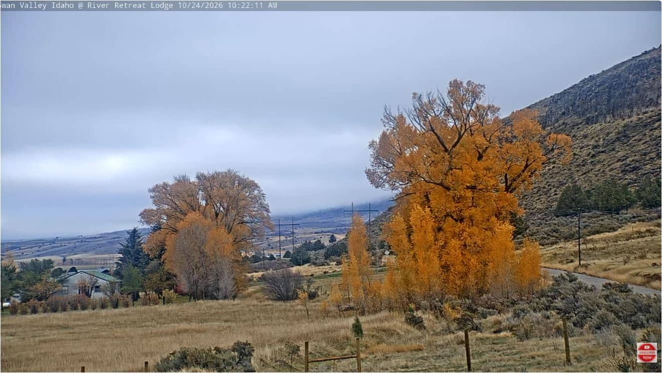
Idaho, United States — 83 km
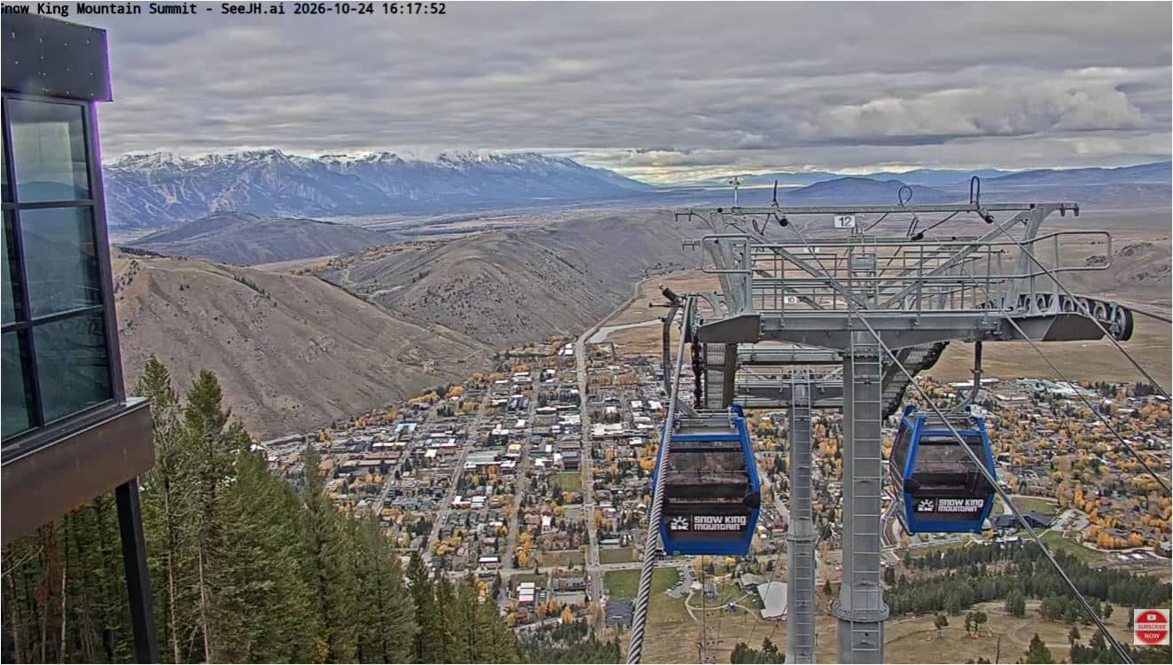
Wyoming, United States — 85 km
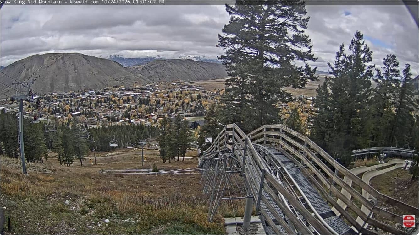
Wyoming, United States — 86 km
The current conditions and a 3-day forecast are shown in the live weather block on this page. They update with the latest available data for the location.
The local time for Afton is shown in the clock block on this page, using the Mountain Time zone that applies in Wyoming.
The camera is at the Afton airport in Lincoln County, Wyoming, at about 42.71 degrees north and 110.94 degrees west. The map on this page marks the exact position.
Daylight hours give the clearest view, and early morning is often good for calm, clear air. Summer and autumn are useful for seeing the mountains without snow, while winter views show snow cover.
Partner links: we may earn a commission at no extra cost to you.