
Friday Harbor - San Juan Island
Washington, United States — 1.4 km
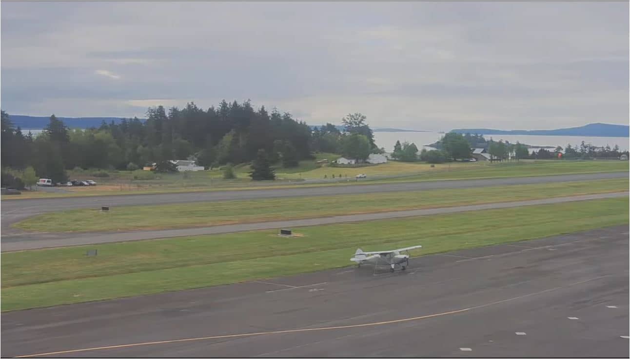
Friday Harbor - Airport
🇺🇸 Washington · United States — Altitude 34 m
This live stream points at the airport serving Friday Harbor, the main town on San Juan Island in Washington State. The feed is useful for checking how the weather and sky look over the islands before a flight or a ferry crossing. It is a quiet, practical view rather than a scenic one.
Friday Harbor is the county seat of San Juan County and sits on the eastern side of San Juan Island, in the archipelago between northern Puget Sound and the Strait of Juan de Fuca. The islands are known for their rocky shorelines, farmland, forest and a strong connection to marine life, including orcas that pass through these waters. The town itself is small, with a working harbor and a relaxed pace that reflects its island setting.
The camera is titled after the airport, so it is aimed at airfield activity, and the conditions visible from it will mostly depend on the view at the moment. Depending on the angle, you may see aircraft movements, the runway and the surrounding islands and sky. Clear mornings and late afternoons often give the most readable view, while low cloud or rain can hide the horizon for long periods.
The islands have a mild, relatively dry climate for the Pacific Northwest, with cool wet winters and pleasant summers. Summer is the most popular time to visit, though the area can be breezy and changeable. Reaching the island usually means taking a ferry or a small plane, and nearby cameras cover the Friday Harbor waterfront and The Whale Museum, as well as Victoria across the water.
Source: portoffridayharborairport8285
Washington, United States — 1.4 km
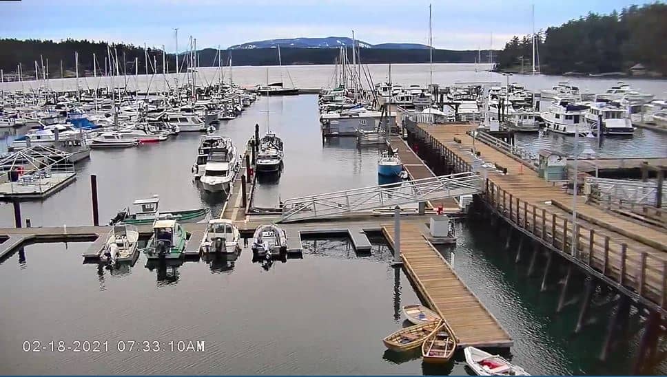
Washington, United States — 1.4 km
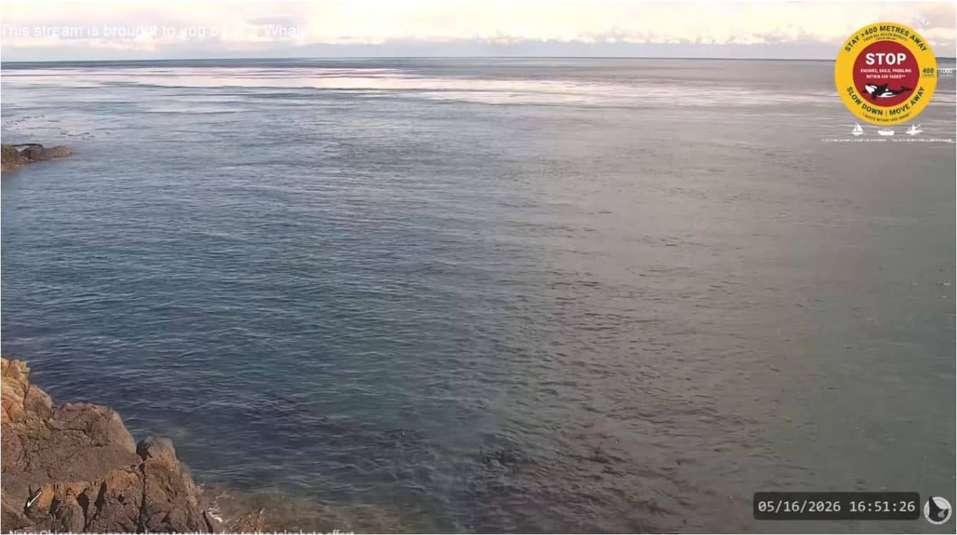
Washington, United States — 9.4 km
British Columbia, Canada — 24 km
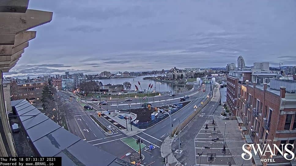
British Columbia, Canada — 28 km
British Columbia, Canada — 31 km
British Columbia, Canada — 35 km
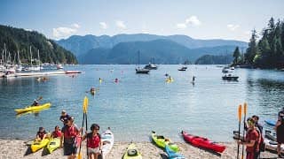
British Columbia, Canada — 37 km

British Columbia, Canada — 45 km

British Columbia, Canada — 45 km
The current conditions and a three-day forecast are shown in the live weather block on this page. They update with the page, so you can check them alongside the camera feed.
The local time is displayed on this page and follows the Pacific time zone used across the Pacific Northwest. It is shown live next to the camera.
The camera is at the airport serving Friday Harbor on San Juan Island, close to the town at about 34 metres above sea level. The map on this page marks its location.
Clear daylight hours give the most readable view, and the weather is often best in summer. Check the live weather block first to decide whether conditions are worth watching.
Partner links: we may earn a commission at no extra cost to you.