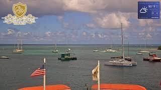
Christiansted - Company House Hotel in St. Croix
U.S. Virgin Islands, United States — 2.4 km
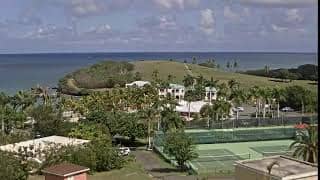
Saint Croix District - The Buccaneer Beach and Golf Resort, St. Croix, U.S. Virgin Islands
🇺🇸 U.S. Virgin Islands · United States — Altitude 11 m
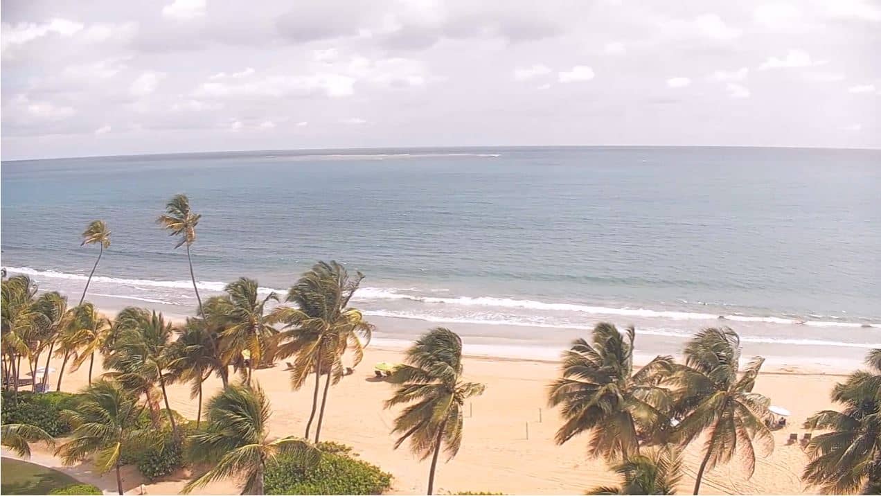
This live camera looks out over the Buccaneer Beach and Golf Resort on the north shore of St. Croix, the largest of the U.S. Virgin Islands. It is useful for checking sea and sky conditions before planning a day on the Caribbean coast, or simply for seeing how the water looks right now.
St. Croix lies in the Caribbean Sea, southeast of Puerto Rico, and is known for its mix of old sugar plantation estates, colourful Danish-era architecture in Christiansted, and a rolling landscape that is drier than many other Caribbean islands. The Buccaneer is one of the island's best-known resorts, set beside a long sandy shoreline with a golf course behind it. The atmosphere is relaxed and largely shaped by the sea and the trade winds.
The view centres on the beach and the water, so the picture will show the surf, the colour of the sea and the movement of people and boats on the sand, depending on the angle at that moment. Mornings often bring calmer water and softer light, while the afternoon trade winds can raise the waves. Cloud build-up over the hills is common in the afternoon, and a passing shower can change the scene quickly.
St. Croix has a tropical climate with warm temperatures through the year, a drier season from roughly December to April, and a hurricane season from June to November. Many visitors choose the winter and spring months for the most settled weather. Christiansted, a short drive away, is the island's main town and a good base for exploring. Other cameras nearby show Christiansted and Coral Bay on St. John.
Source: CamStreamer
U.S. Virgin Islands, United States — 2.4 km

U.S. Virgin Islands, United States — 65 km

U.S. Virgin Islands, United States — 65 km
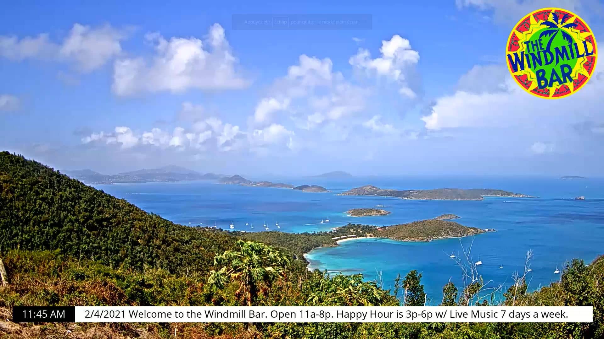
U.S. Virgin Islands, United States — 66 km
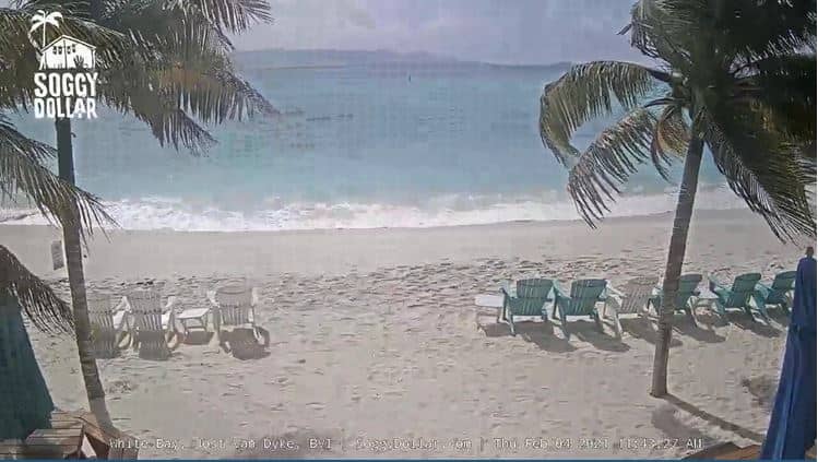
British Virgin Islands — 77 km
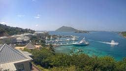
Tortola, British Virgin Islands — 81 km
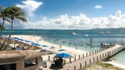
Fajardo, Puerto Rico — 120 km
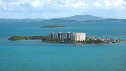
Fajardo, Puerto Rico — 120 km
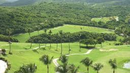
Fajardo, Puerto Rico — 120 km
Puerto Rico, United States — 123 km
The current conditions and a three-day forecast for the resort are shown in the weather block on this page. They update automatically, so you can check them before you head out.
The local time for St. Croix is displayed on this page and follows the island's own clock. The U.S. Virgin Islands do not observe daylight saving time, which can make them differ from some mainland cities for part of the year.
The camera is at the Buccaneer Beach and Golf Resort in the Saint Croix district, on the island's north shore. The map on this page marks its position.
Early morning and late afternoon often give the calmest water and the best light. Check the live view during the day to see how conditions are changing.
Partner links: we may earn a commission at no extra cost to you.