
East End - LIVE view from Long Bay Beach Villa - Coral Bay, St. John in the US Virgin Islands
U.S. Virgin Islands, United States — 21 km
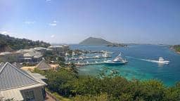
Tortola - Scrub Island
🇻🇬 Tortola · British Virgin Islands — Altitude 16 m
This live camera looks out over Scrub Island, a small island off the northeast coast of Tortola. It is a useful way to check the sea and sky before planning a trip to the Virgin Islands. The page also shows local time and conditions for Tortola.
Scrub Island sits in the Sir Francis Drake Channel, a short distance from Tortola, the largest of the British Virgin Islands. The surrounding waters are clear and shallow in many places, and the landscape is dry, scrubby and green after rain. Tortola is known for its sailing, its hilly interior and its relaxed Caribbean pace, and the island's position makes it a familiar sight to boats moving between the islands.
The view is focused on the water and the island's coastline, so the most visible changes are the colour of the sea, cloud movement and wind on the surface. Mornings are often calm and bright, while afternoons can bring cloud build-up and passing showers. Because the camera is live, you can see how conditions change through the day, which helps when judging whether the water looks suitable for boating.
Tortola has a tropical, mostly warm climate with trade winds keeping temperatures moderate, and the drier months from late winter to spring are generally considered the most pleasant for visiting. Hurricane season runs from June to November, so it is worth checking forecasts closely in those months. Nearby cameras on this site cover East End, Coral Bay and Jost Van Dyke, which give a wider picture of the region.
Source: earthcam.com
U.S. Virgin Islands, United States — 21 km

U.S. Virgin Islands, United States — 25 km
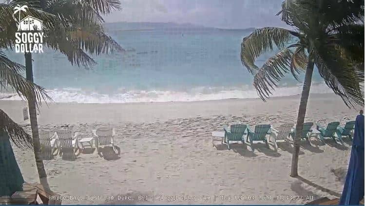
British Virgin Islands — 26 km
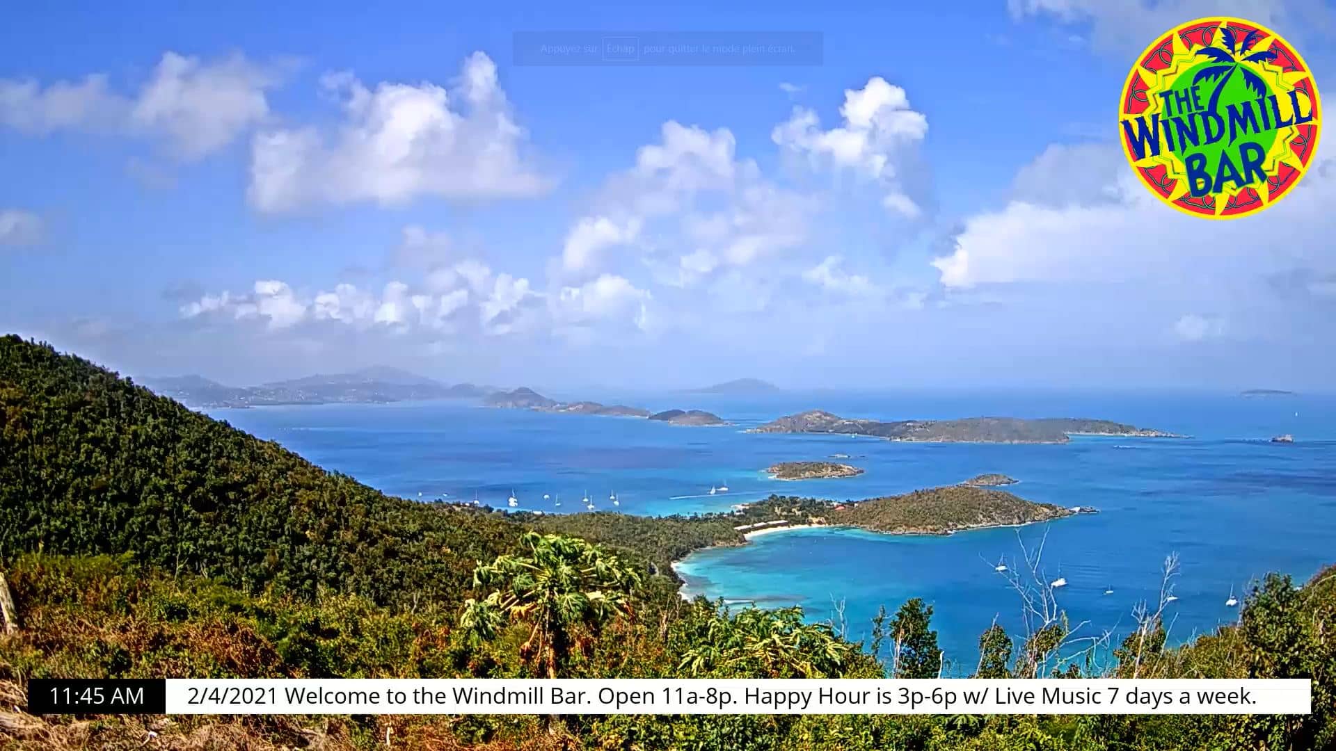
U.S. Virgin Islands, United States — 30 km
U.S. Virgin Islands, United States — 81 km
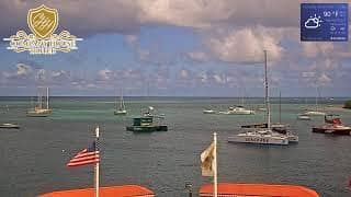
U.S. Virgin Islands, United States — 82 km
Fajardo, Puerto Rico — 117 km
Fajardo, Puerto Rico — 117 km

Fajardo, Puerto Rico — 117 km
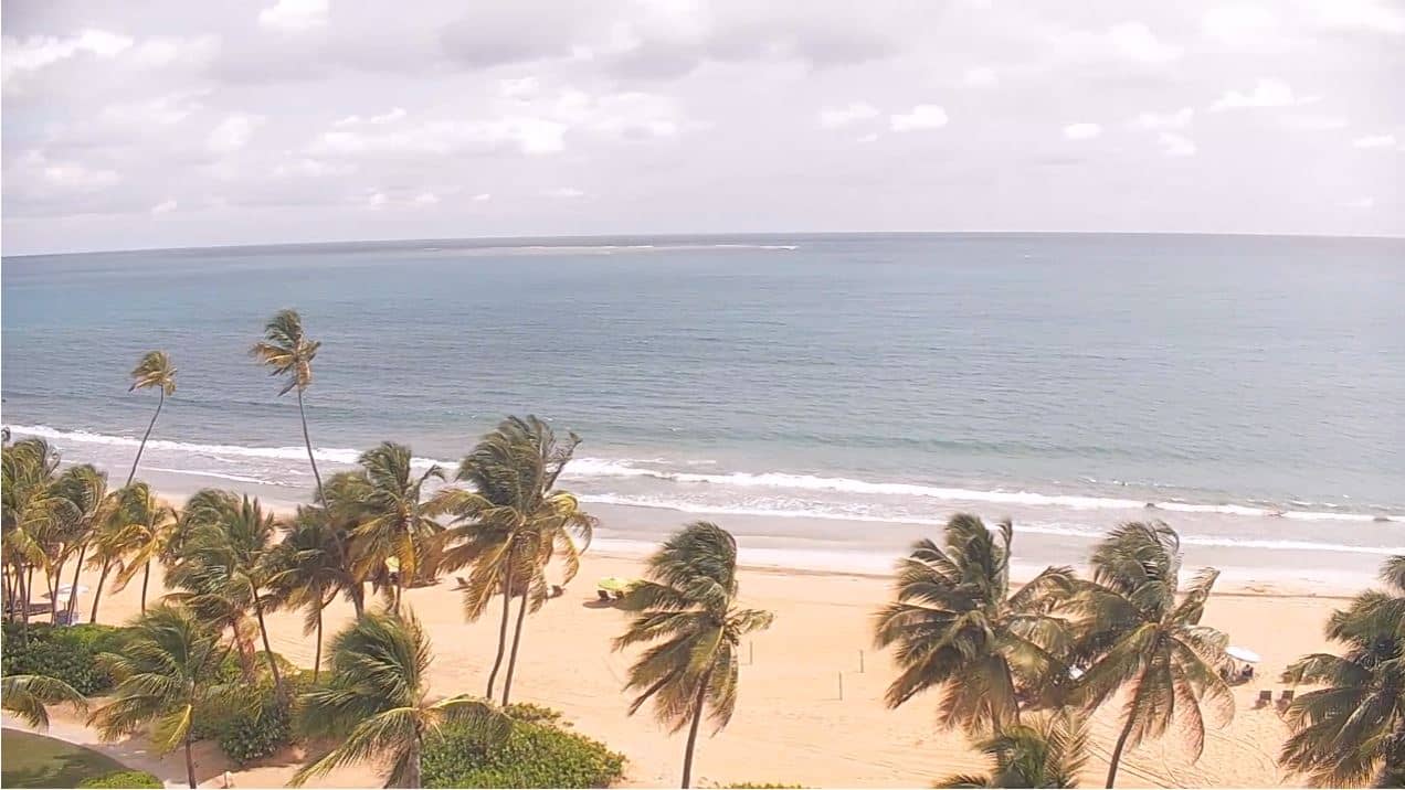
Puerto Rico, United States — 141 km
The current weather for Tortola is shown in the live block on this page, along with a three-day forecast. Conditions can change quickly in the Caribbean, so the panel updates to give the latest reading.
The page shows the current local time for Tortola. The British Virgin Islands do not observe daylight saving time, so the local time can differ from some other places in the same season.
The camera is located on the northeast side of Tortola, in the British Virgin Islands, looking towards Scrub Island. The map on this page marks its position for orientation.
Daytime hours are usually the most useful, when light is good and the sea is easiest to read. Early mornings tend to be calmer, while afternoons can show more cloud and wind on the water.
Partner links: we may earn a commission at no extra cost to you.