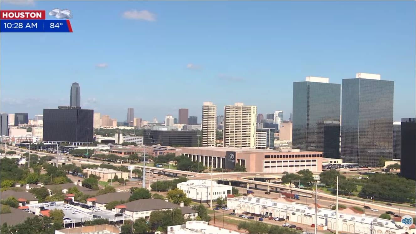
Houston - Downtown Houston - ABC13
Texas, United States — 0.3 km
Houston - East Side Houston Skyline View
🇺🇸 Texas · United States — Altitude 21 m
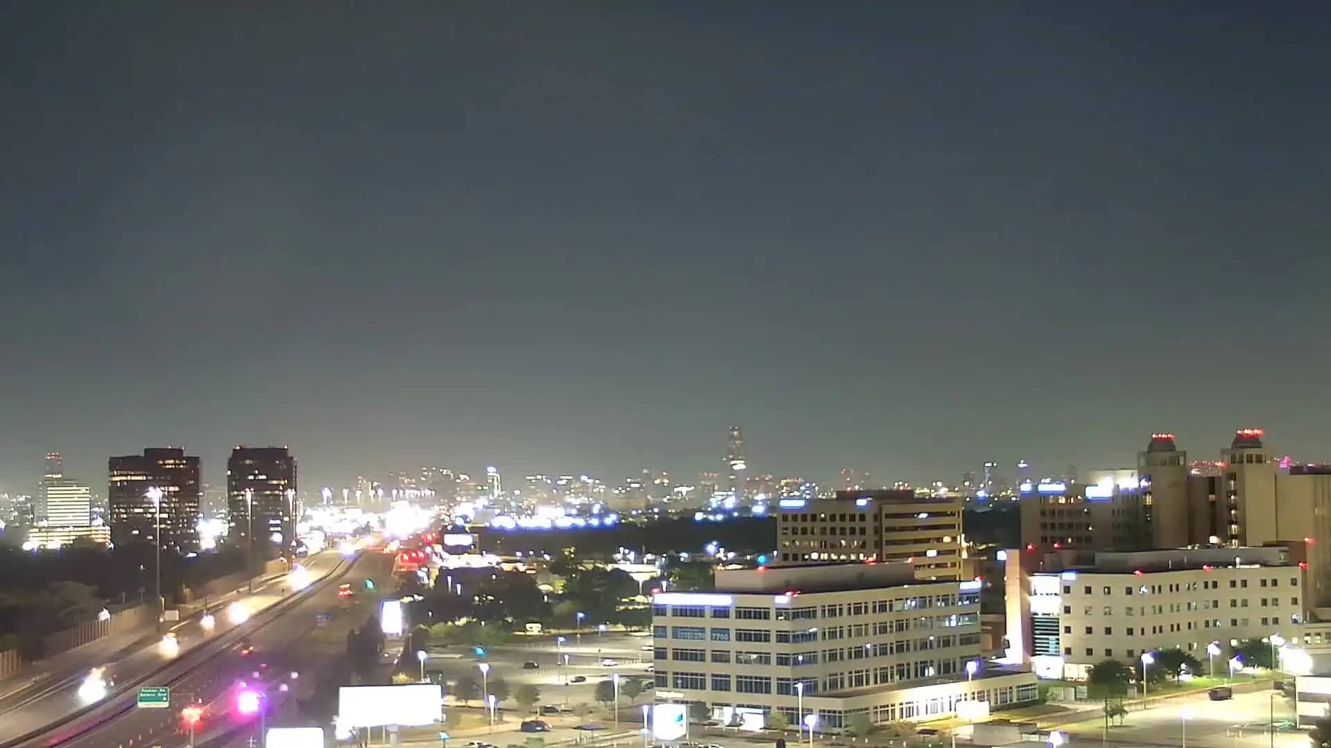
This live camera looks toward the Houston skyline from the city's east side, so you can check how the downtown towers look right now. It is useful for a quick visual check of sky and haze before heading out, or for following the city's light and weather through the day.
Houston is the largest city in Texas and the fourth most populous in the United States, a sprawling metropolis built on flat coastal prairie about 50 km from the Gulf of Mexico. It is known for its energy industry, its medical center, its space history through NASA's Johnson Space Center, and a strong food and music scene. The downtown skyline is a mix of office towers and newer high-rises that stand out clearly from the surrounding low landscape.
The view is of the skyline itself, so the most rewarding times are early morning, when the towers catch low sun, and evening, when office windows and lit buildings change the outline after dark. Afternoon thunderstorms are common in warmer months and can bring dramatic clouds over the city. Depending on the framing and conditions, you may also notice haze or rain bands moving across the skyline.
Houston has a humid subtropical climate, with hot, humid summers and mild winters, and spring and autumn are the most comfortable seasons for visiting. The city is spread out, so a car or ride service is often the easiest way to get around. For other views, the Downtown Houston camera from ABC13 is in the same area, and the Uptown Skyline camera about 10 km away shows another part of the city.
Source: myearthcam.com
Texas, United States — 0.3 km
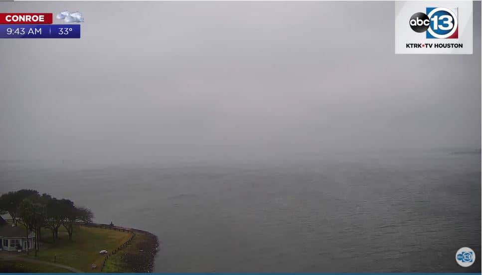
Texas, United States — 2.1 km
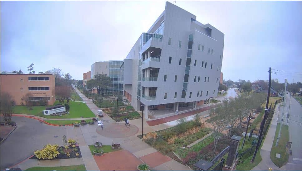
Texas, United States — 4.8 km
Texas, United States — 9.5 km
Texas, United States — 17 km

Texas, United States — 19 km
Texas, United States — 24 km

Texas, United States — 28 km
Texas, United States — 36 km
Texas, United States — 62 km
The current conditions and a three-day forecast for Houston are shown in the live weather block on this page, updated automatically.
The local time for Houston, Texas, is displayed on this page and follows the Central time zone.
The camera looks at the Houston skyline from the east side of the city. The map on this page shows its position at about 21 meters above sea level.
Early morning and evening are often the most interesting, with warm light on the towers and lit buildings after dark. Afternoon storms in warmer months can also make the view more dramatic.
Partner links: we may earn a commission at no extra cost to you.