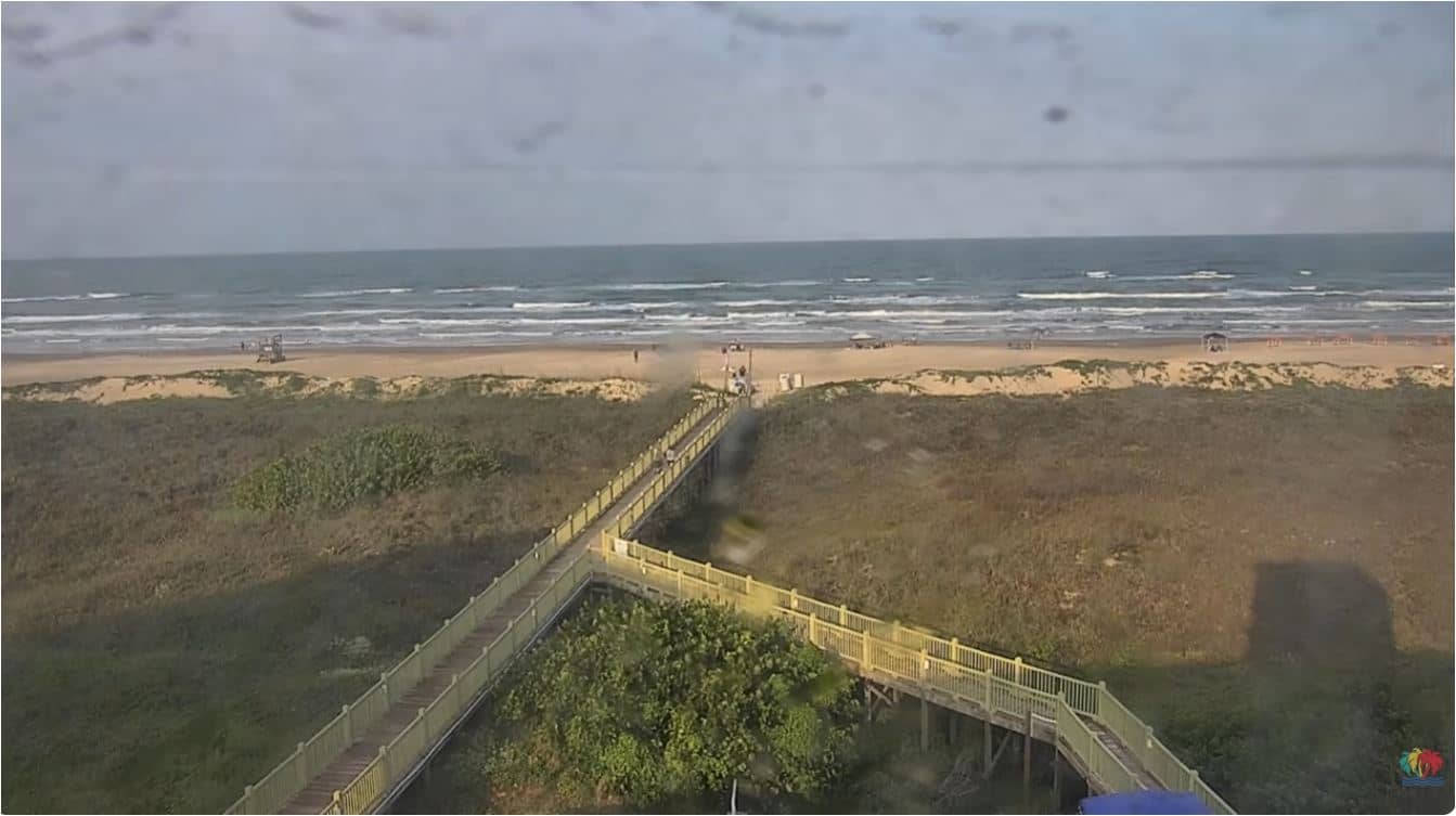
South Padre
Texas, United States — 0.1 km
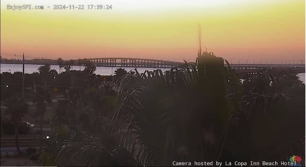
South Padre - Queen Isabella Memorial Causeway
🇺🇸 Texas · United States — Altitude 6 m
This live camera looks toward the Queen Isabella Memorial Causeway, the bridge that links South Padre Island to the Texas mainland. It is a quick way to check the Gulf coast approach to the island before you travel. The page adds local time and weather so you can judge conditions at a glance.
South Padre Island is a narrow barrier island at the southern tip of the Texas coast, separated from the mainland by the Laguna Madre, a shallow lagoon famous for its birdlife. The island is known for wide sandy beaches, spring break crowds, and kiteboarding and fishing along the Gulf shoreline. The landscape is flat, with dunes and low scrub, so the sky and water dominate the scenery.
As a view of a causeway, the camera mainly tracks the road, the bridge deck and the water and sky around it. Depending on the angle, you may see traffic, the lagoon and the Gulf light changing through the day. Early morning and late afternoon usually give the clearest light, and the view is most useful during storms or high winds, when you can judge how the crossing looks.
South Padre has a subtropical climate with hot, humid summers and mild winters, and hurricane season runs from June to November. Spring and autumn are generally the most comfortable times to visit. The island is reached by the causeway from Port Isabel, and nearby cameras on the island and in Brownsville, including the SpaceX Starbase view, are listed on this page.
Source: SpaceX
Texas, United States — 0.1 km

Texas, United States — 0.8 km

Texas, United States — 1.7 km
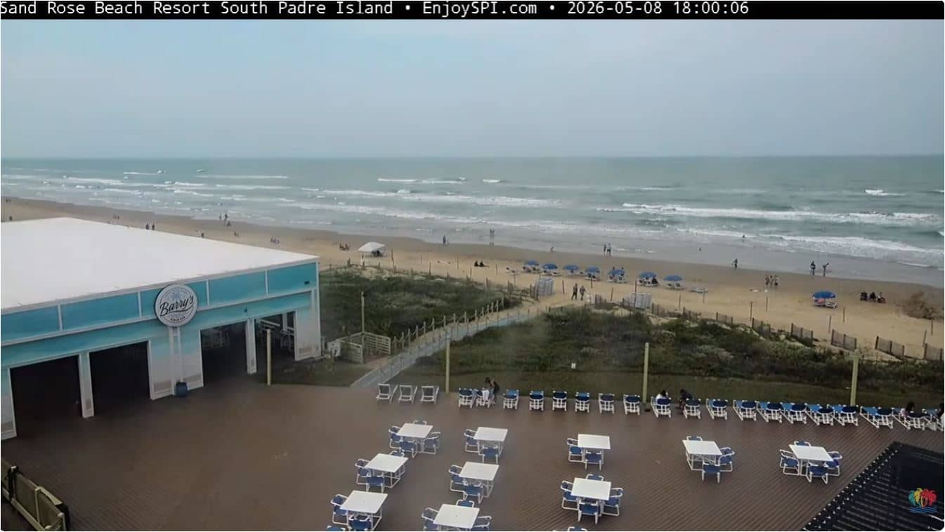
Texas, United States — 5.8 km
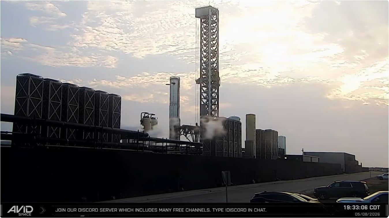
Texas, United States — 9.9 km

Texas, United States — 9.9 km

Texas, United States — 10 km
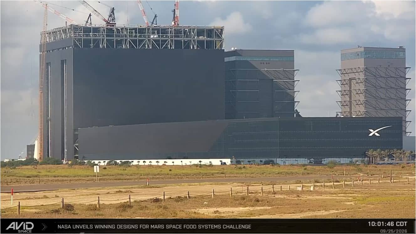
Texas, United States — 10 km

Texas, United States — 11 km
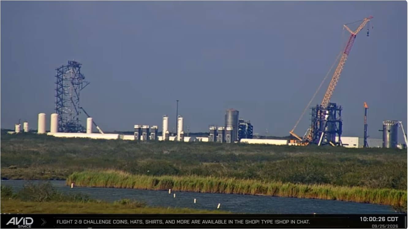
Texas, United States — 19 km
Current conditions and a three-day forecast for South Padre are shown in the weather block on this page. They update with the page, so check there before you plan a trip.
The local time for South Padre, Texas, is shown on this page, based on the Central time zone used there.
The camera is on the Queen Isabella Memorial Causeway, which links South Padre Island to the Texas mainland. The map on this page shows its exact position.
Early morning and late afternoon usually give the clearest light. Storms and high winds are worth watching as well, since they change how the crossing looks.
Partner links: we may earn a commission at no extra cost to you.