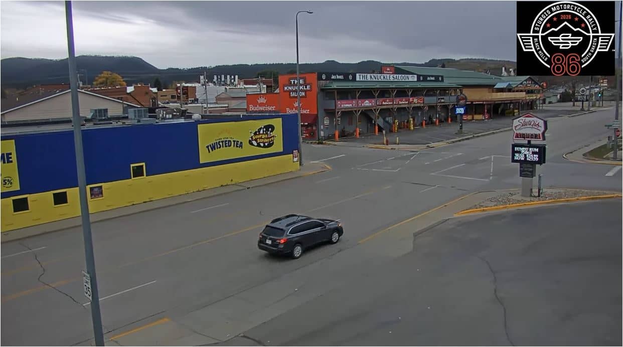
Sturgis - Lazelle Street depuis Sturgis Liquor
South Dakota, United States — 0.4 km
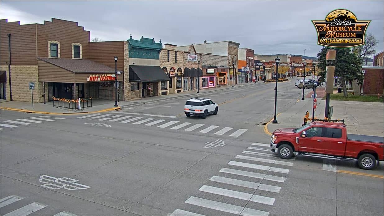
Sturgis - Carrefour Junction Ave et Main St depuis le musée de la moto
🇺🇸 South Dakota · United States — Altitude 1040 m
This live stream looks down on one of the busiest intersections in Sturgis, South Dakota, filmed from the motorcycle museum. It is useful for checking traffic flow in town before you drive, or simply for seeing how the main street looks right now.
Sturgis is a small town in the Black Hills of western South Dakota, at roughly 1,040 metres above sea level. It is best known as the host of one of the largest motorcycle rallies in the United States, held every August, when the town fills with riders and the streets become much busier than usual. The surrounding hills, pine forests and open prairie give the region a distinctly rugged character that the town's wide main street reflects.
The view covers the traffic moving through the central crossing, so it is most useful for judging how busy the roads are at a given hour. Activity tends to rise during weekday commuting times and in the late morning and afternoon. During the rally weeks in summer the flow of motorcycles and visitors is especially noticeable. Because the picture is a live feed, conditions can change within minutes, and the image may be affected by weather or the light at dusk.
Summers are warm and dry, with afternoon thunderstorms possible, while winters are cold and snowy. Late spring and early autumn are often the most comfortable seasons for visiting the Black Hills. The nearby Deadwood historic town and the Buffalo Chip camping area are both within a short drive, and another camera in Sturgis at Lazelle Street shows a different part of town.
Source: UDriveTech
South Dakota, United States — 0.4 km
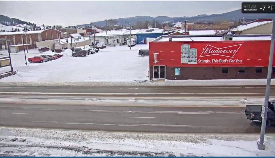
South Dakota, United States — 0.6 km
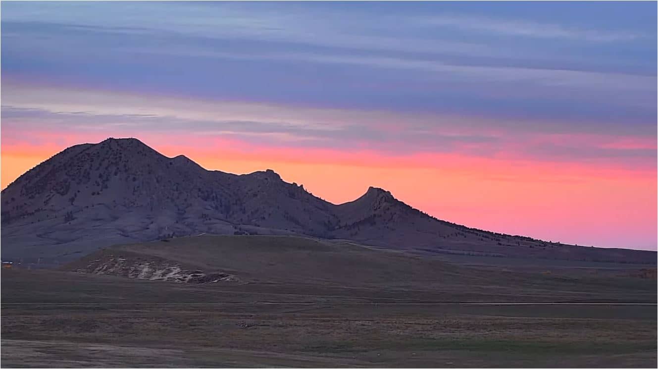
South Dakota, United States — 7.5 km
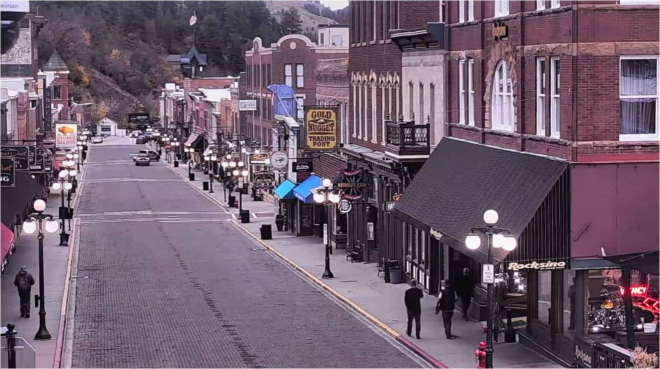
South Dakota, United States — 18 km
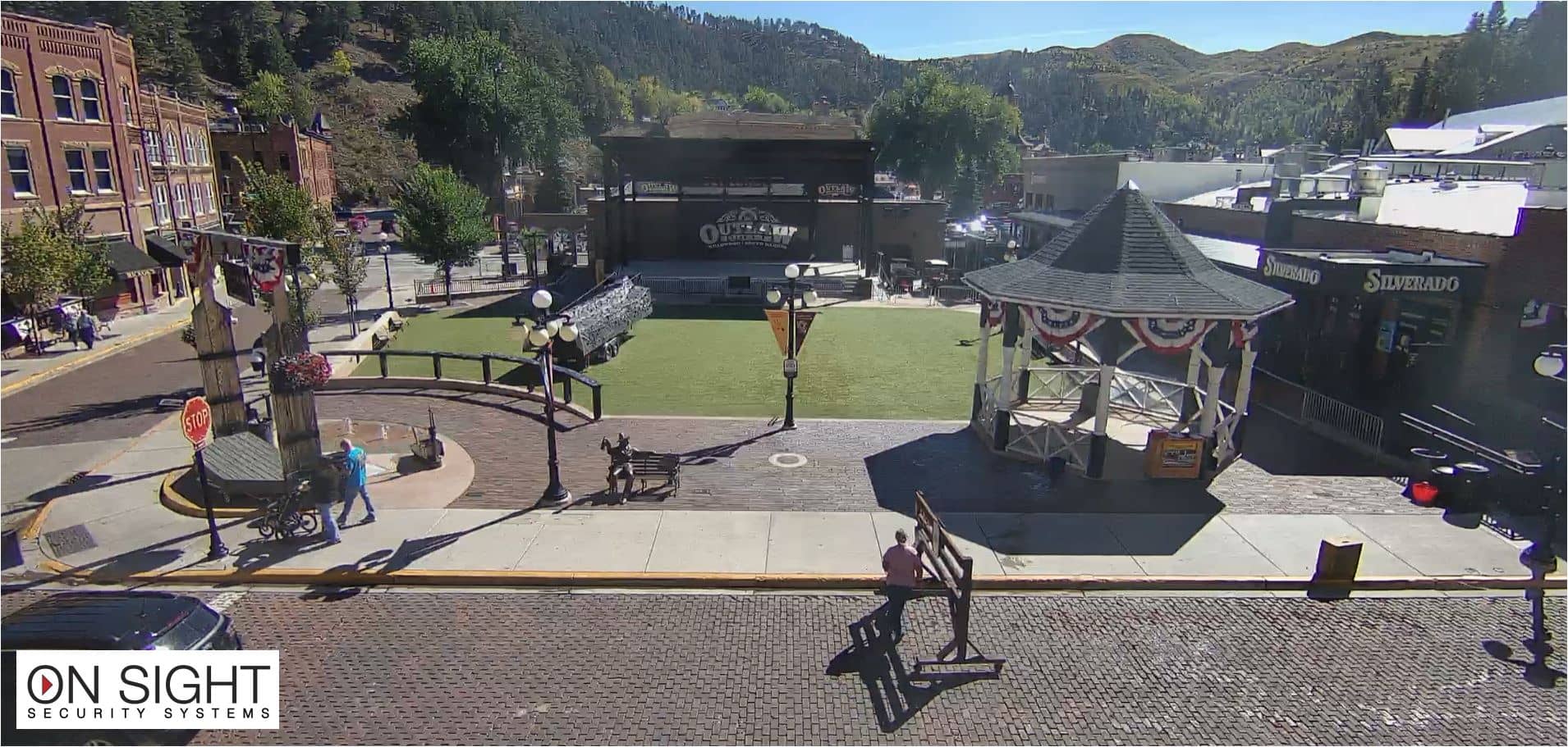
South Dakota, United States — 18 km
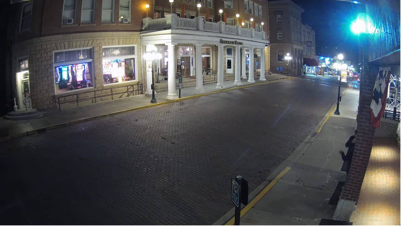
South Dakota, United States — 18 km
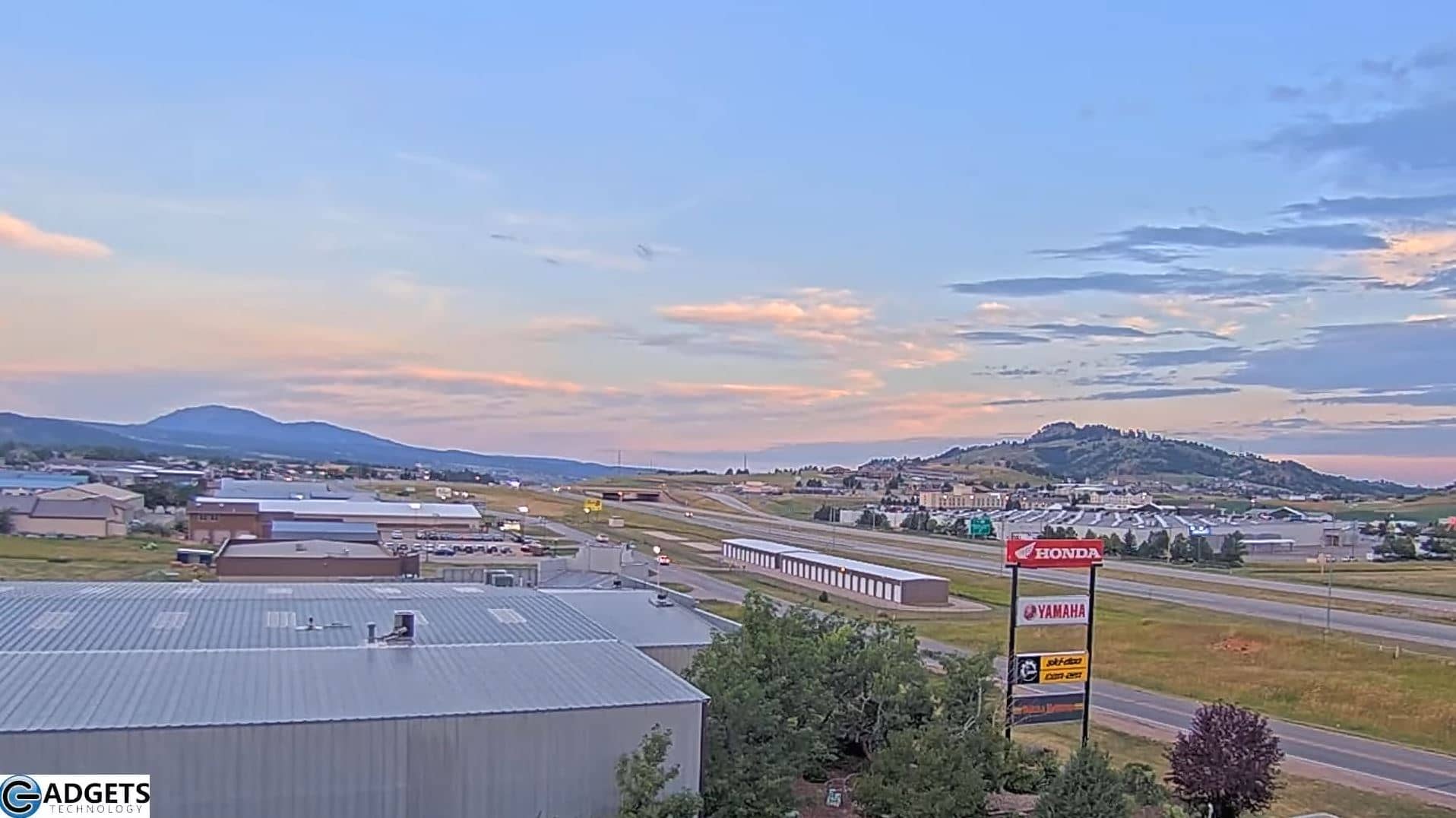
South Dakota, United States — 27 km
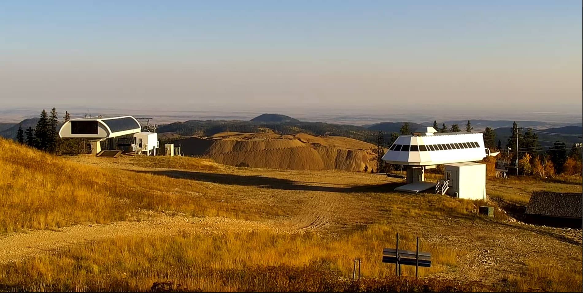
South Dakota, United States — 28 km
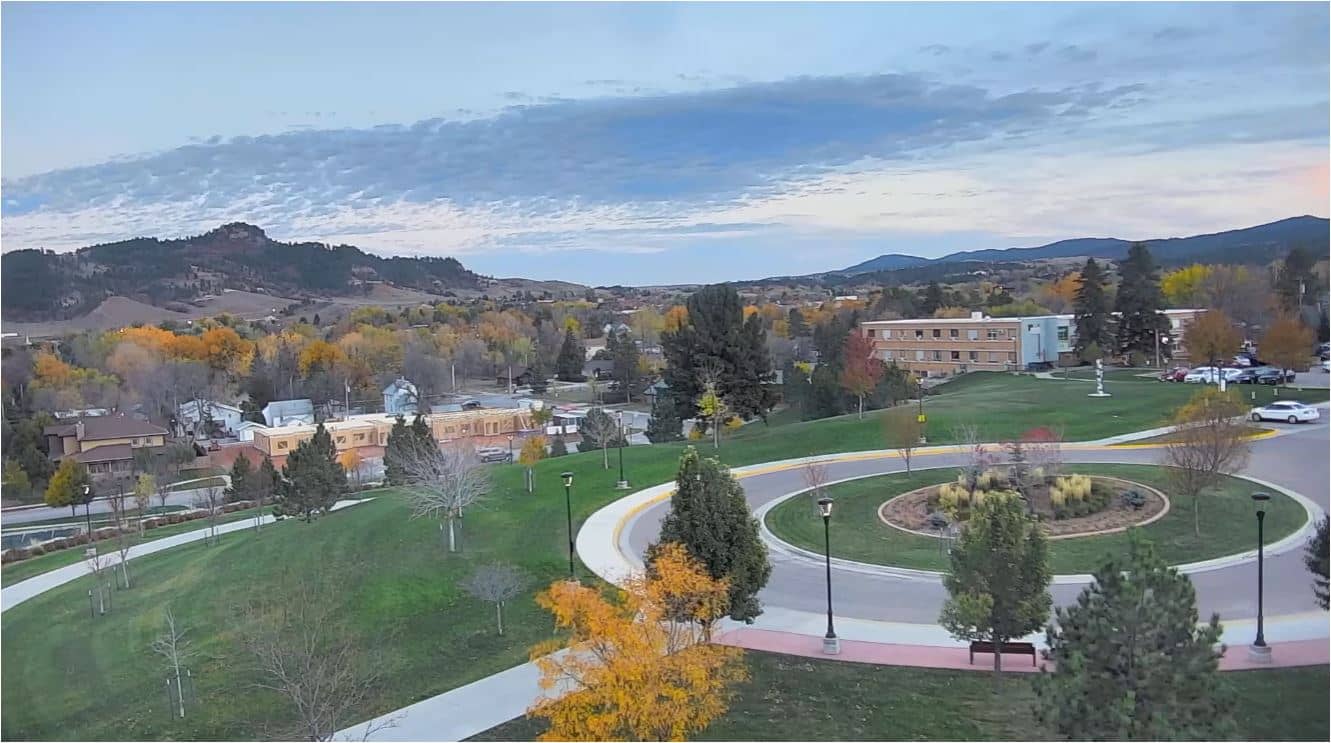
South Dakota, United States — 29 km
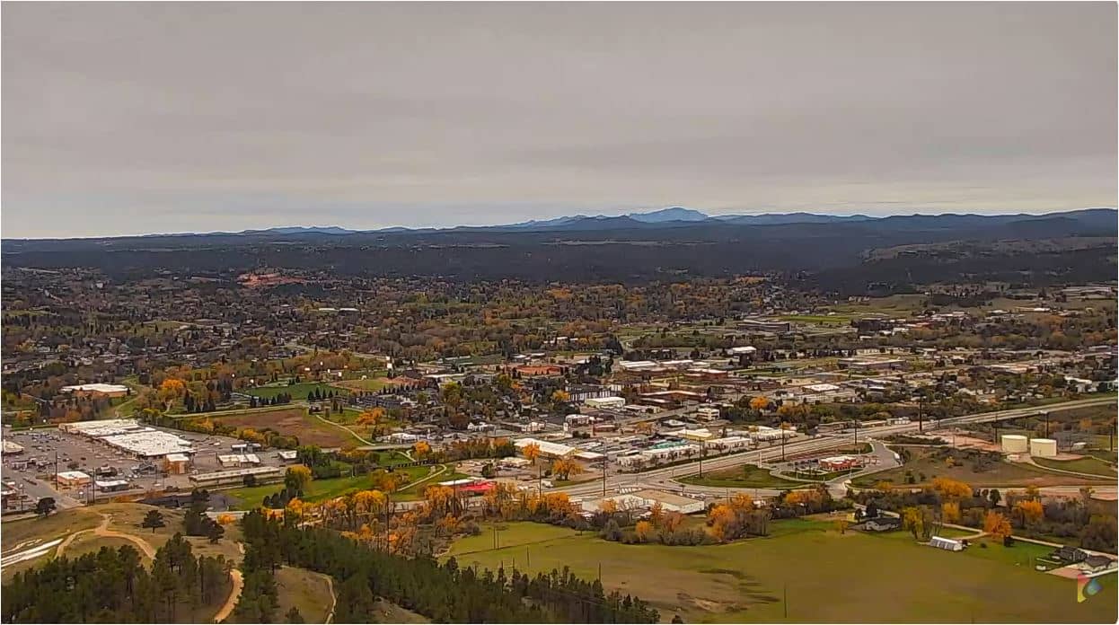
South Dakota, United States — 43 km
The current conditions and a three-day forecast for Sturgis are shown in the weather block on this page. They update with the latest available data for the town.
The local time for Sturgis is displayed on this page, based on the Mountain time zone used in the western part of South Dakota.
The camera films the crossing of Junction Avenue and Main Street in central Sturgis, filmed from the motorcycle museum, and the map on this page marks its position.
Weekday daytime and early evening usually show the most traffic. During the August rally the street activity is at its highest, which makes it the most lively period to follow.
Partner links: we may earn a commission at no extra cost to you.