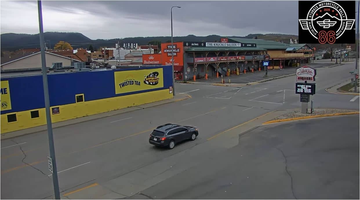
Sturgis - Lazelle Street depuis Sturgis Liquor
South Dakota, United States — 7.2 km
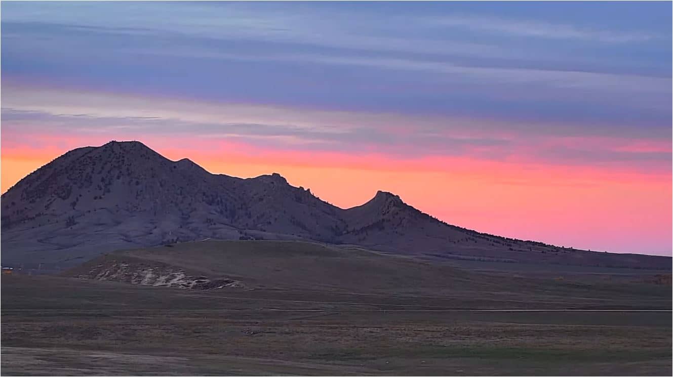
Sturgis - Camping Buffalo Chip, vue nord
🇺🇸 South Dakota · United States — Altitude 1000 m
This live camera looks north over the Buffalo Chip Campground near Sturgis, South Dakota. It is a quick way to see the open Black Hills country and check current conditions before you travel. The page also shows local time and the weather for the area.
Sturgis is a small town in western South Dakota, close to the Black Hills, a forested upland of granite peaks rising from the surrounding plains. The town is best known for the annual motorcycle rally held every August, which draws large crowds to the area. The Buffalo Chip is one of the best-known campgrounds connected with the rally, and the surrounding landscape is open grassland and pine-covered ridges. Elevation here is around 1,000 metres, so the air is dry and the sky often wide.
The view is a live stream from a fixed position, so you will see whatever is in front of the lens at the moment: open ground, tents or vehicles when the campground is busy, and the sky above the plains. Depending on the view, the most interesting times are early morning and late afternoon, when the light is low and the weather changes quickly. Summer thunderstorms are common and can build over the hills within a short time.
Summers are warm and often bright, though afternoon storms are frequent, while winters are cold with snow possible from late autumn to early spring. The best time to visit the area is usually late spring through early autumn. Deadwood, a historic gold-rush town, lies about 25 km away, and the Lazelle Street and Main Street cameras in Sturgis show the town centre if you want to compare conditions.
Source: NewsCenter1
South Dakota, United States — 7.2 km
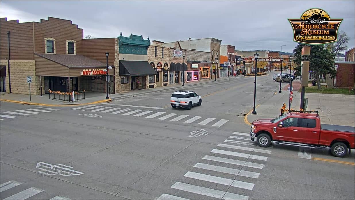
South Dakota, United States — 7.5 km
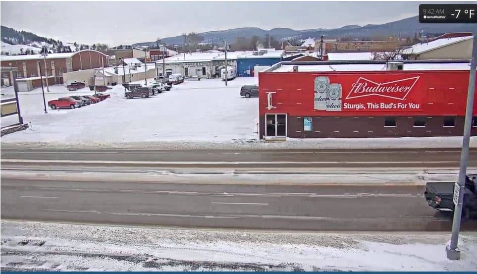
South Dakota, United States — 7.8 km
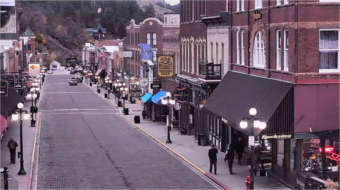
South Dakota, United States — 25 km
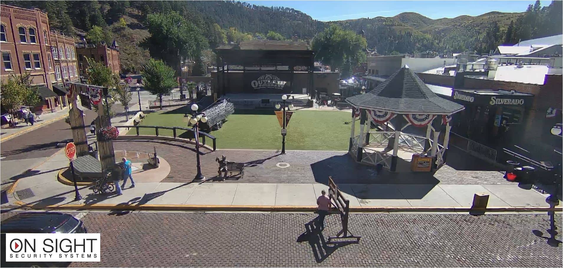
South Dakota, United States — 26 km
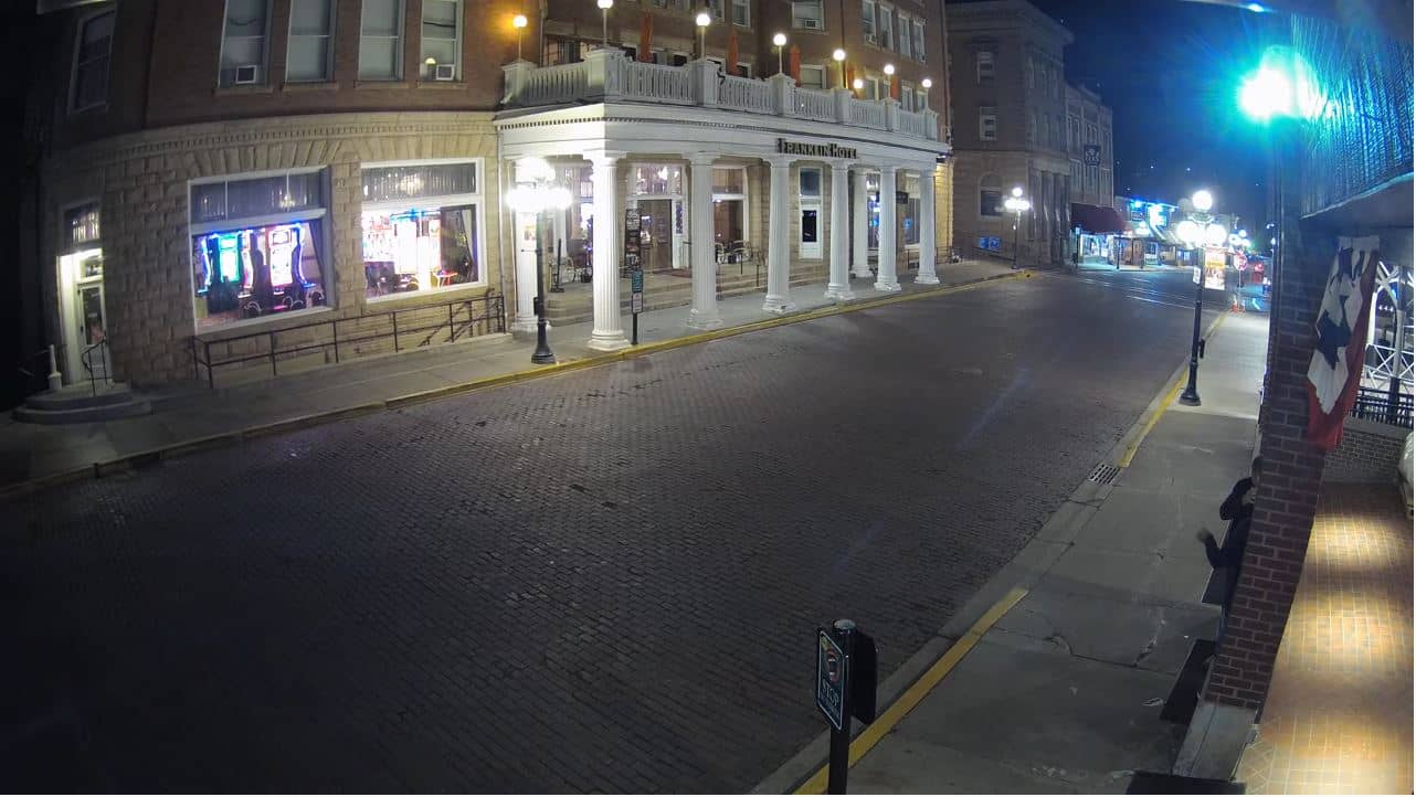
South Dakota, United States — 26 km
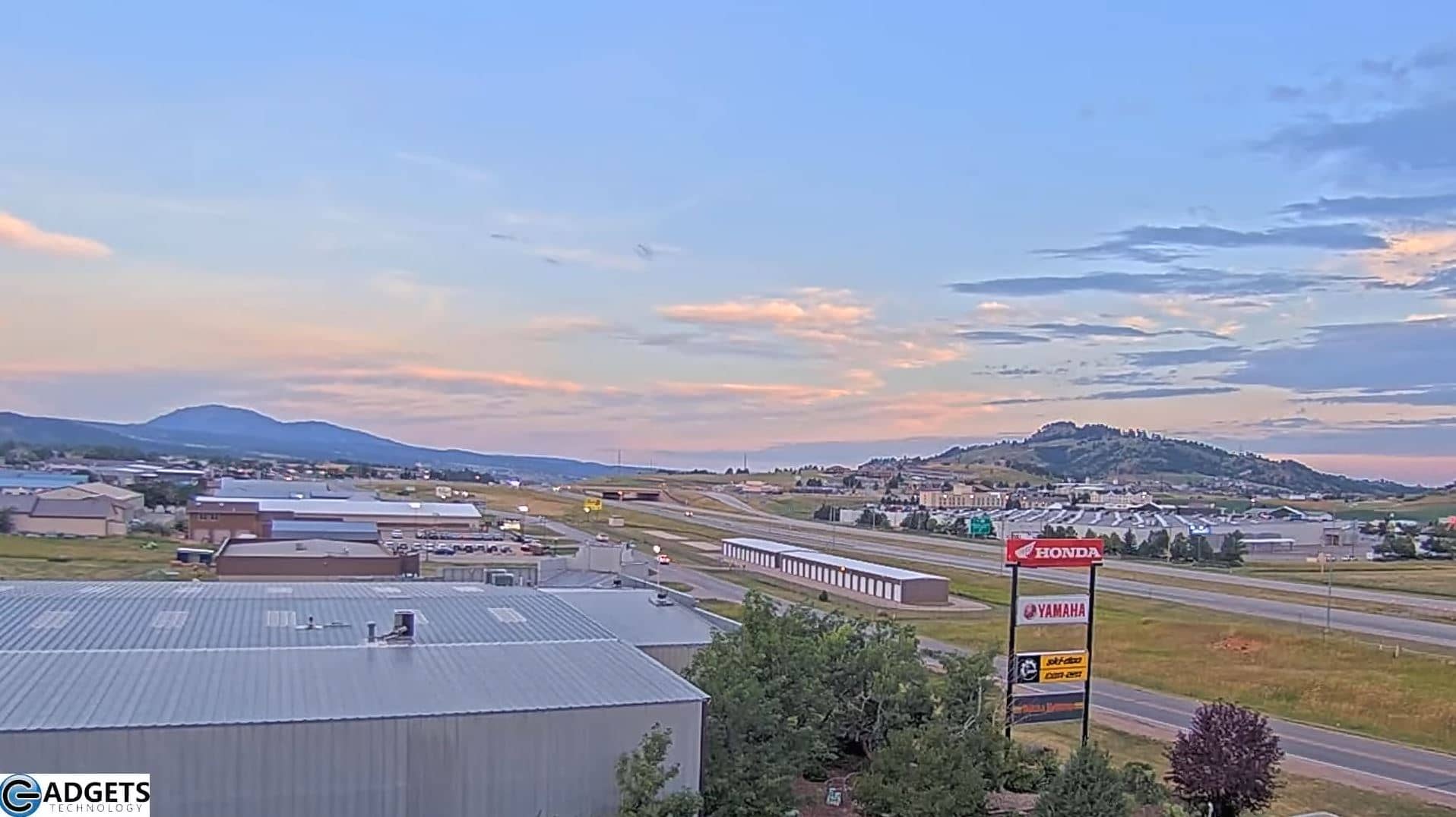
South Dakota, United States — 34 km
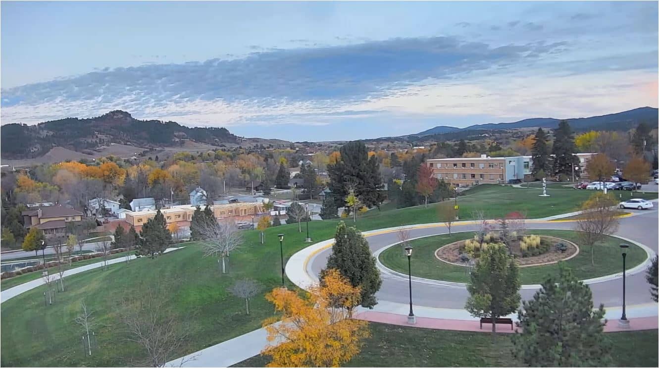
South Dakota, United States — 36 km
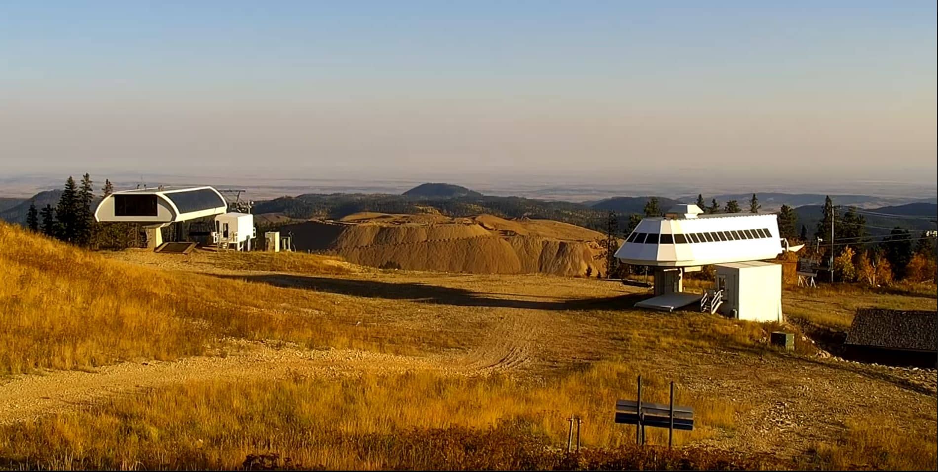
South Dakota, United States — 36 km
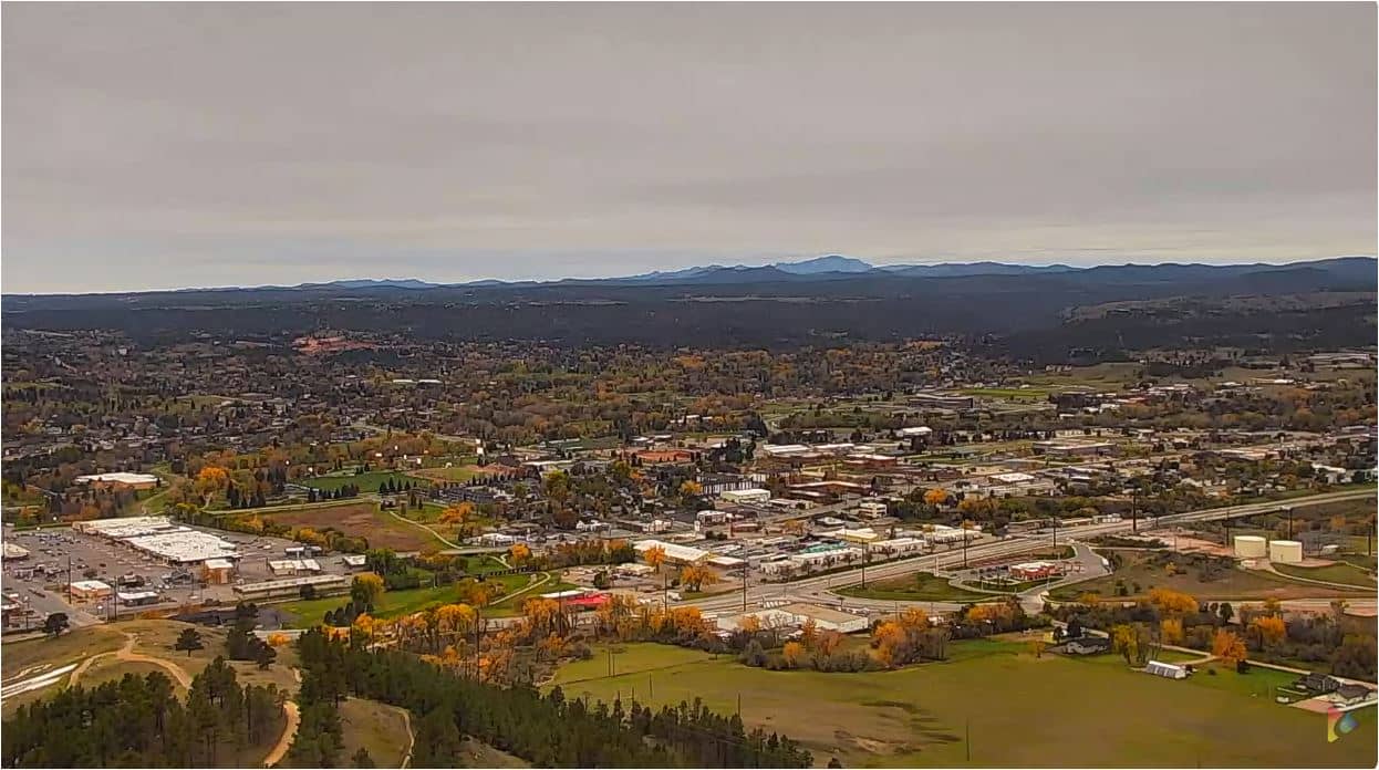
South Dakota, United States — 42 km
The current weather for Sturgis is shown in the live weather block on this page, together with a three-day forecast. It updates automatically so you can check conditions before you go.
The local time for Sturgis is shown on this page, based on the Mountain time zone used in western South Dakota. The clock updates live alongside the camera.
The camera looks north over the Buffalo Chip Campground near Sturgis, South Dakota, at roughly 44.43 N and 103.42 W. The map on the page marks the position.
Early morning and late afternoon usually give the clearest light and the most visible weather changes. Summer afternoons are worth watching for thunderstorms building over the hills.
Partner links: we may earn a commission at no extra cost to you.