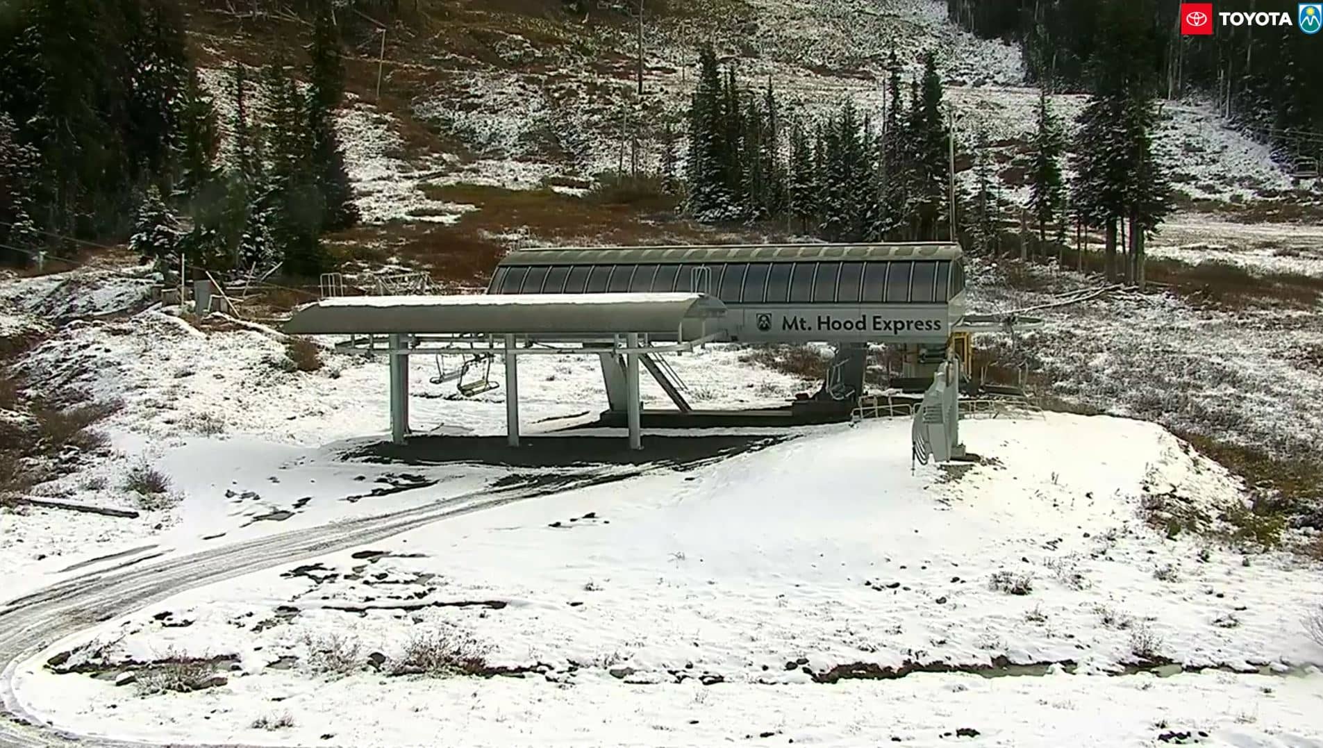
Mt Hood Meadows
Oregon, United States — 7.5 km
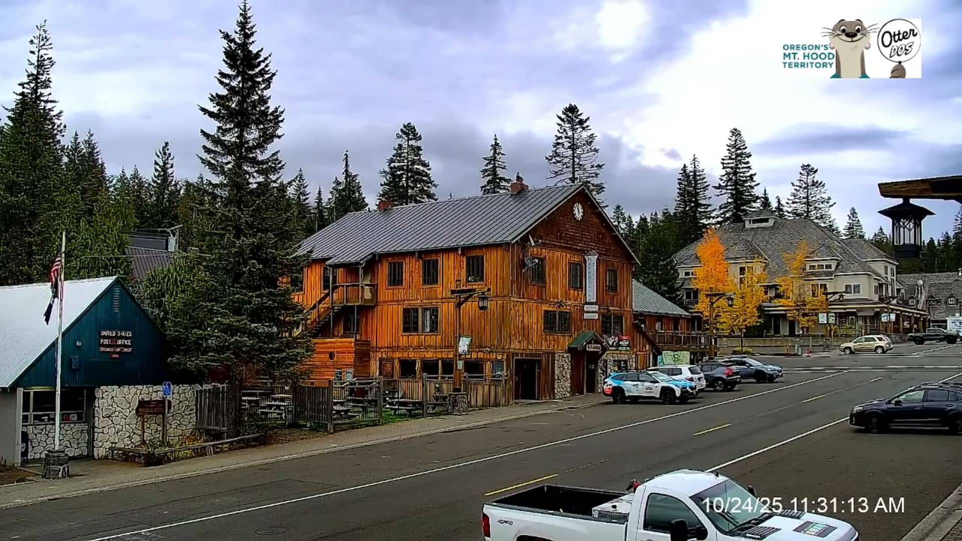
Government-Camp
🇺🇸 Oregon · United States — Altitude 1185 m
This live camera looks out from Government Camp, a small mountain village at about 1,185 metres on the southern flank of Mount Hood in Oregon. It is a useful check for anyone wondering what the mountain looks like right now, before driving up or planning a day in the snow or the forest.
Government Camp sits on the Mount Hood Highway, the main route up the mountain from Portland, roughly an hour's drive to the southwest. It is best known as a base for skiing and snowboarding and has long served as a stopover for hikers and climbers heading to the upper slopes. The surrounding landscape is dense conifer forest, volcanic rock and alpine meadow, with the snow-capped cone of Mount Hood rising above it.
Because the stream is a live mountain view, the most interesting moments depend on the weather. Clear winter mornings often show fresh snow on the slopes, while cloud can drift across the summit within minutes. Watching during the day gives the clearest picture, and the view changes noticeably with light, snowfall and seasonal snow cover.
Winter brings heavy snow and the region relies on snow tyres or chains, so road conditions are worth checking before a trip. Summer is milder and suits hiking and wildflower walks. Nearby cameras at Mt Hood Meadows and Stevenson offer complementary views of the mountain and the Columbia River area.
Source: KOIN 6
Oregon, United States — 7.5 km
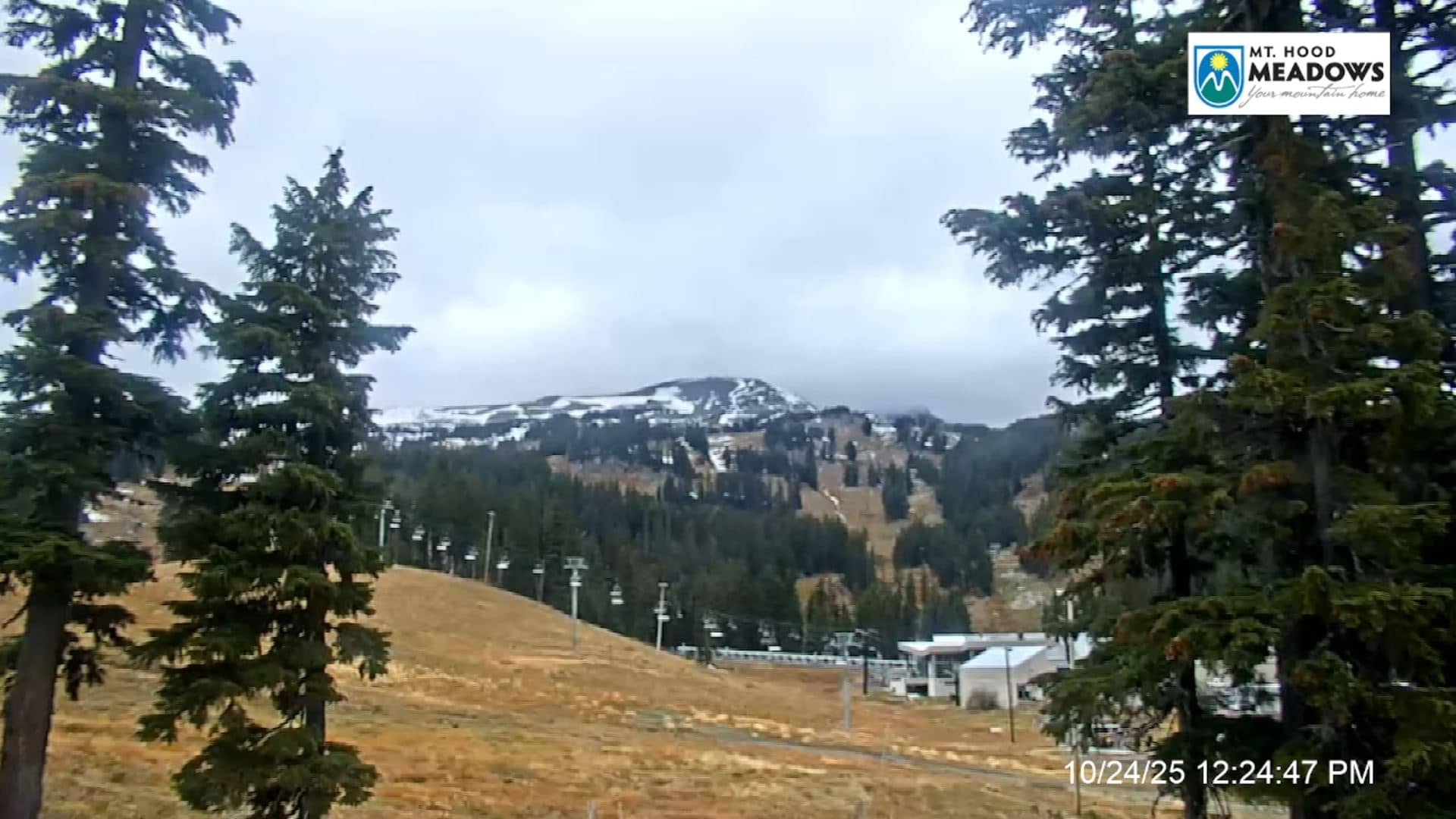
Oregon, United States — 7.7 km
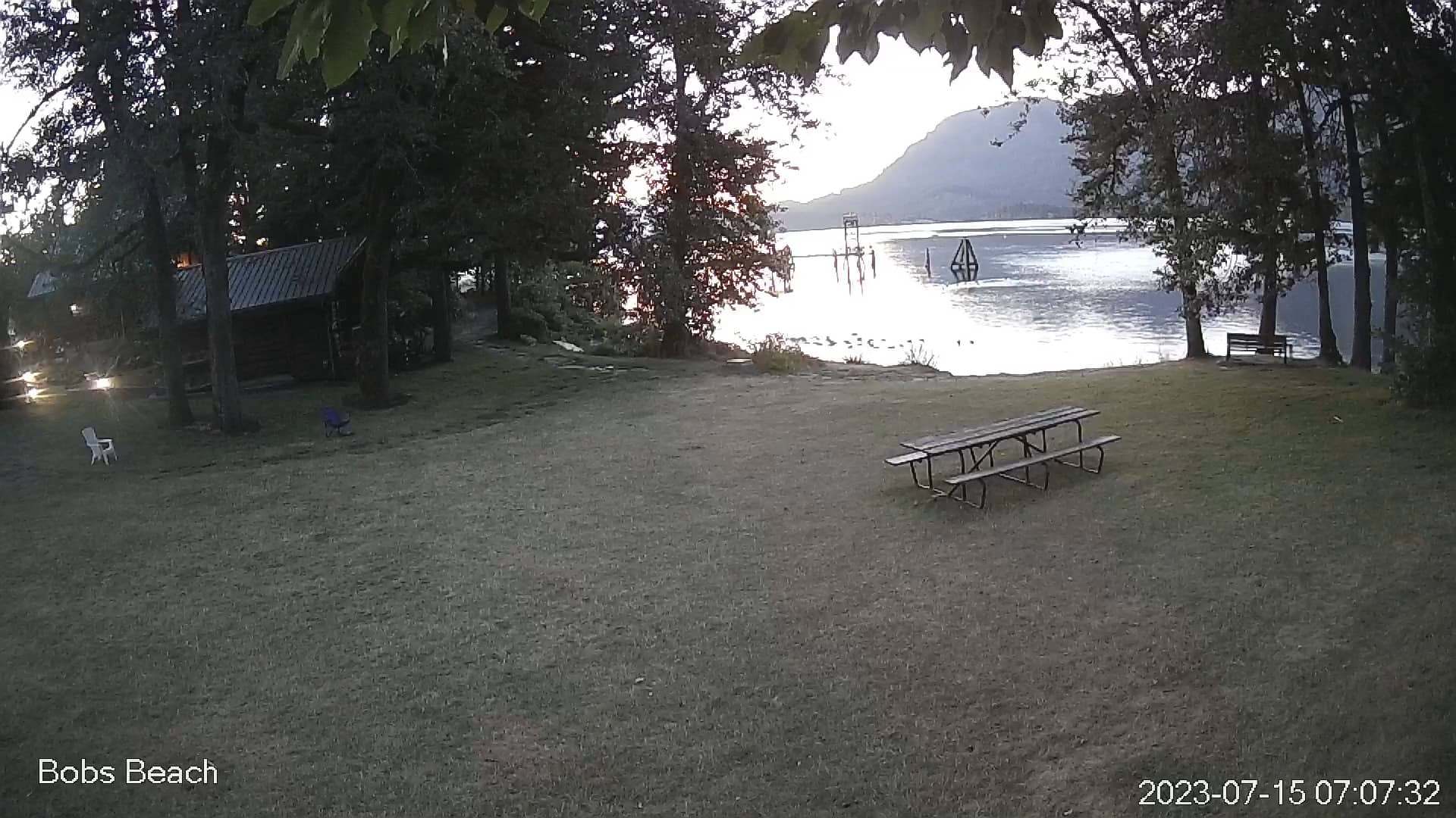
Washington, United States — 44 km
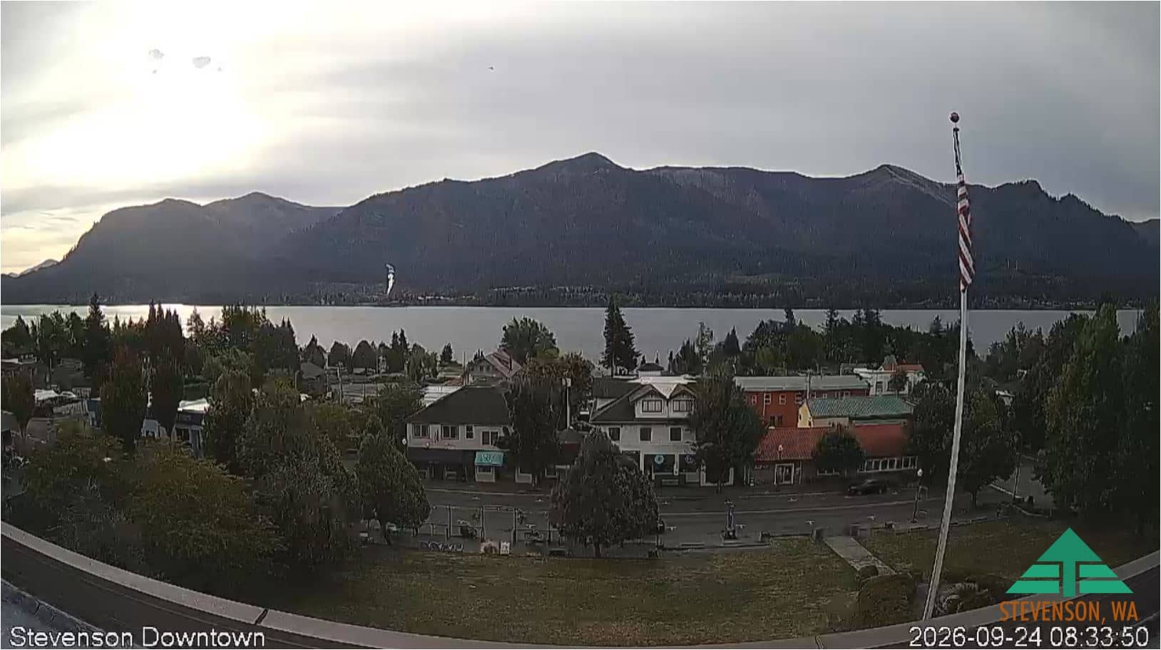
Washington, United States — 45 km
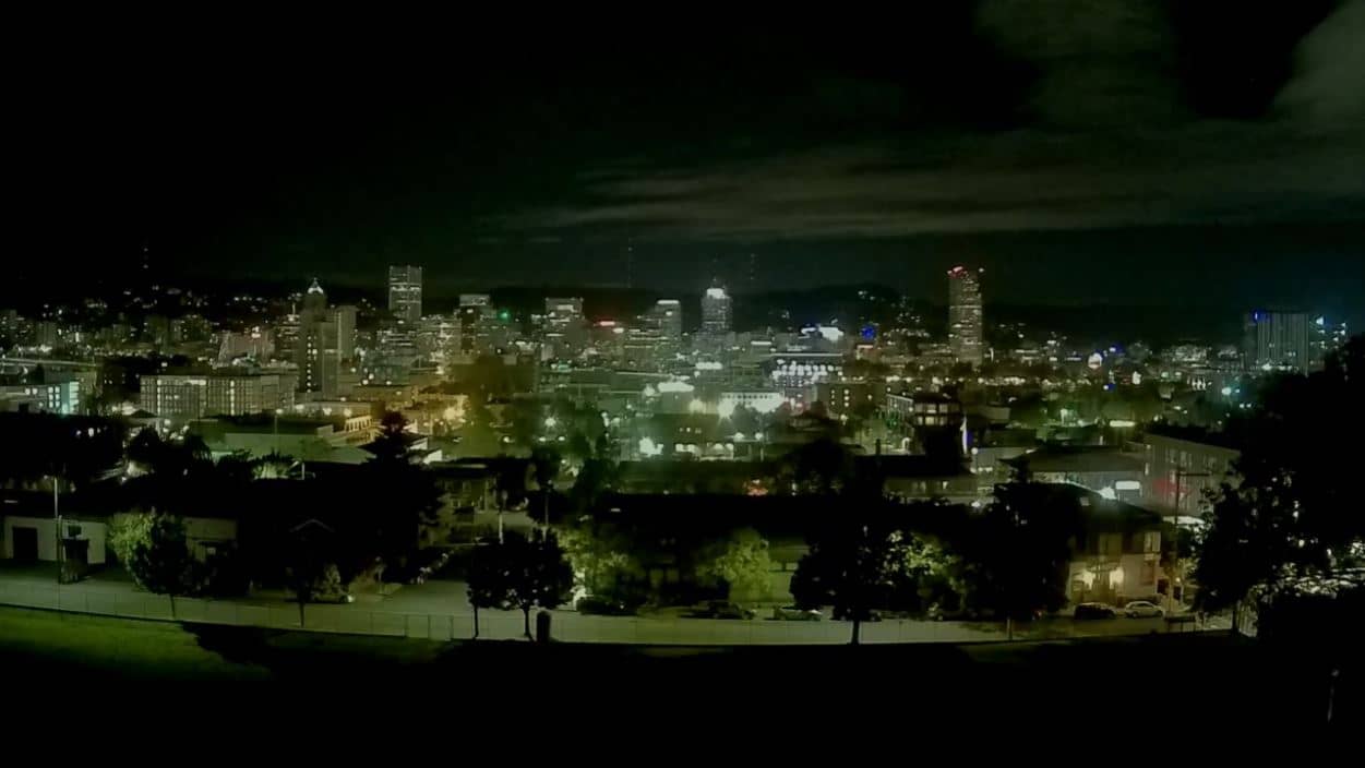
Oregon, United States — 74 km
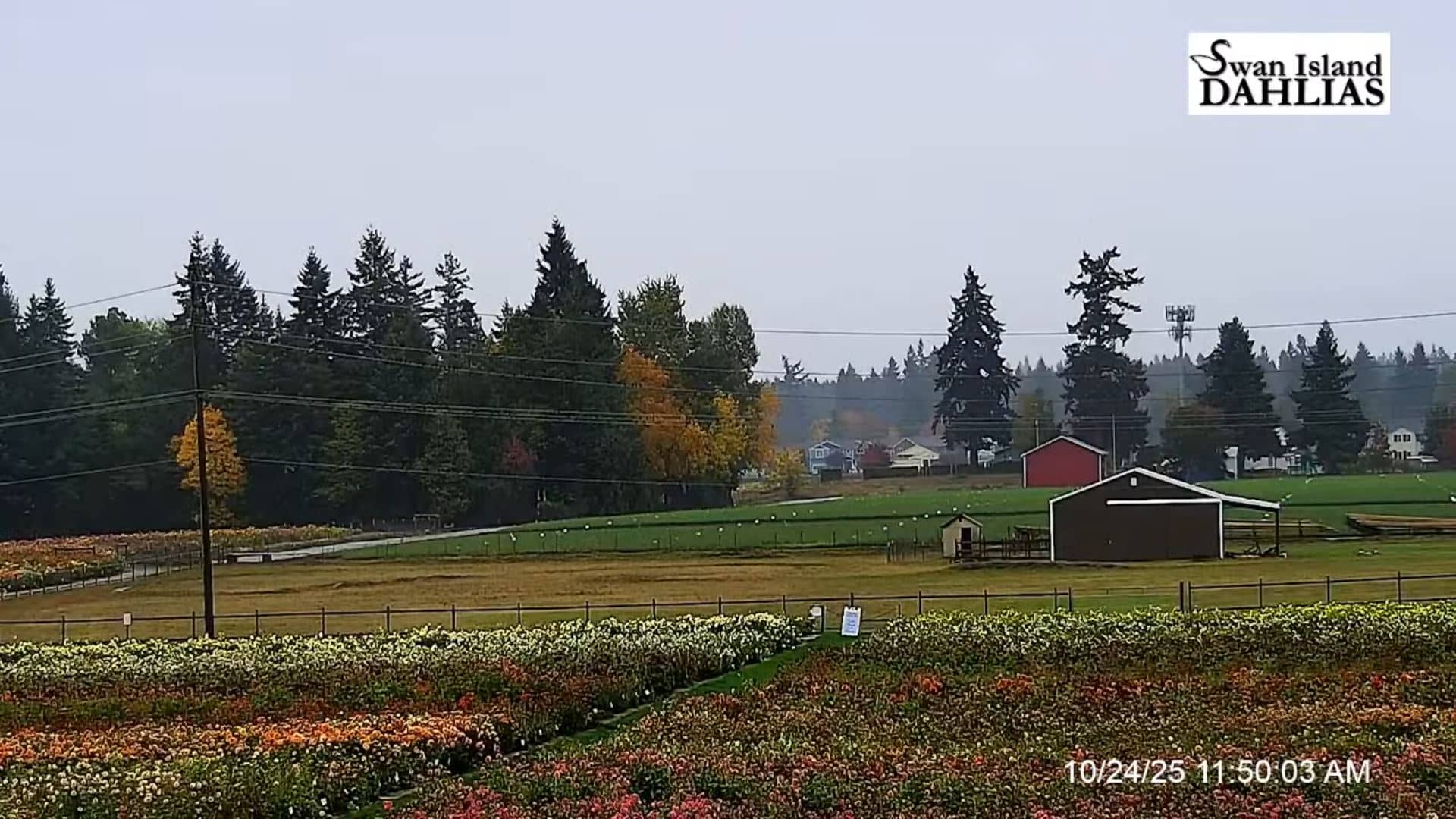
Oregon, United States — 75 km
Oregon, United States — 76 km
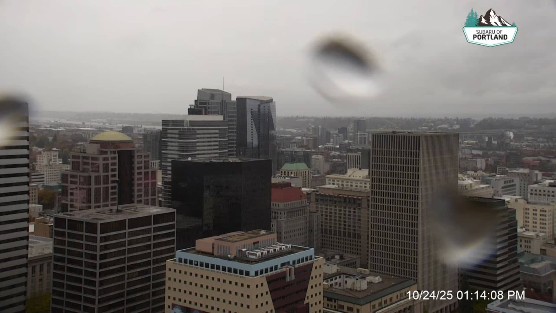
Oregon, United States — 76 km
Oregon, United States — 80 km
Oregon, United States — 92 km
The current weather and a 3-day forecast are shown in the live block on this page, updated for Government Camp. Mountain conditions can change quickly, so check the forecast before heading up.
The local time for Government Camp is shown on this page and follows the Pacific time zone used across Oregon, including daylight saving changes.
The camera is located in Government Camp, Oregon, at about 1,185 metres on the southern side of Mount Hood. The map on this page shows its position.
Daylight hours give the clearest view. Winter shows snow cover on the slopes, while summer shows the greener forest and meadows around the mountain.
Partner links: we may earn a commission at no extra cost to you.