Mt Hood Meadow
Oregon, United States — 0.1 km
🇺🇸 Oregon · United States — Altitude 1638 m
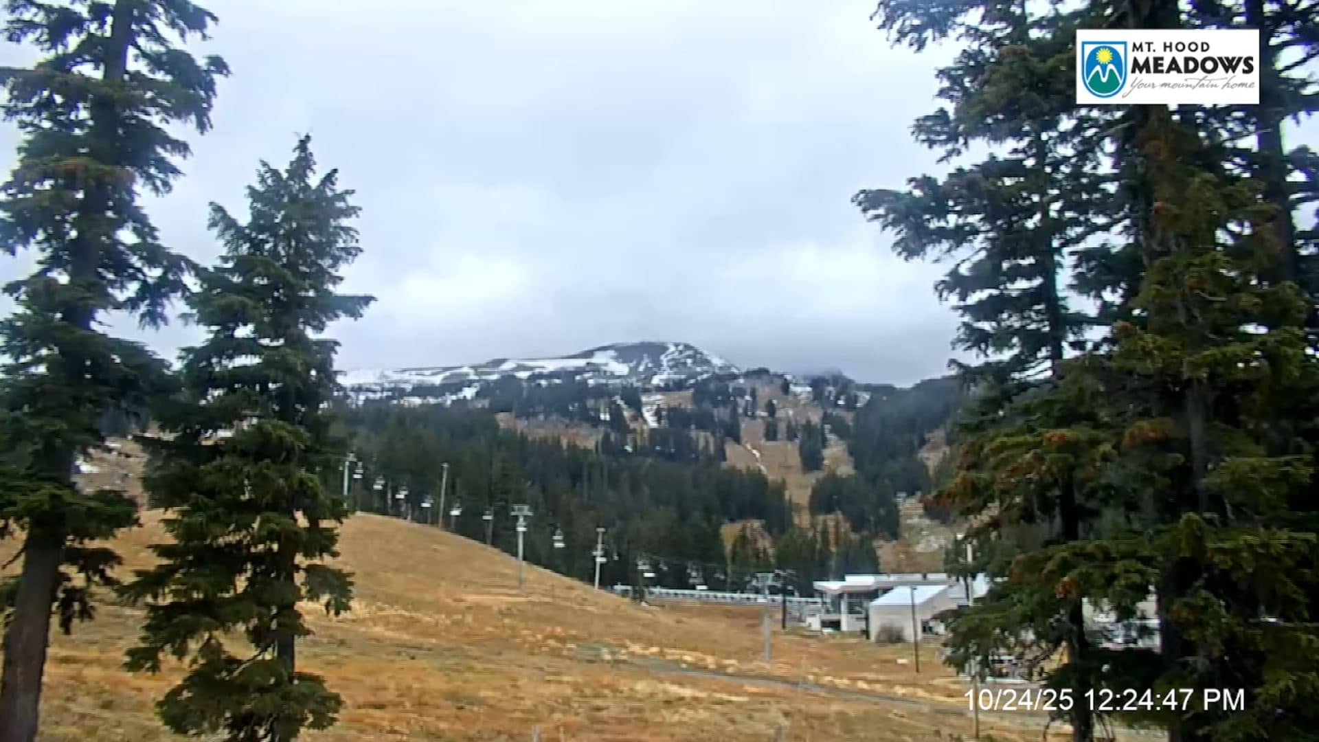
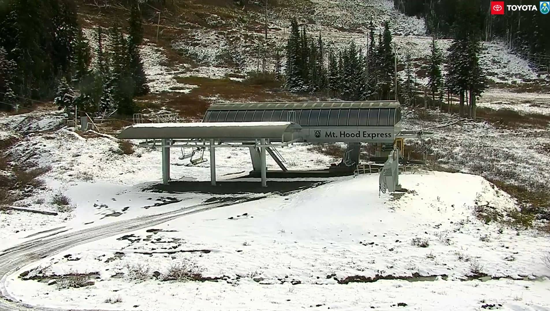
This live view looks toward the slopes of Mt Hood Meadows, a ski area on the flanks of Oregon's highest peak. Check it to judge snow and visibility before you drive up, or simply to watch the mountain change through the day.
Mt Hood Meadows sits on the southern side of Mount Hood, roughly 1,600 metres above sea level, in the Cascade Range east of Portland. The volcano is the highest point in Oregon and is a familiar sight from much of the Portland area. The surroundings are dense conifer forest, glacier-fed streams and volcanic rock, which gives the resort a very different character from lower ski areas in the region.
Because the view is tied to a mountain resort, it is most useful for checking snow cover, cloud and wind on the slopes. Mornings often bring the clearest air before clouds build over the peak. Winter and spring are the seasons when the image is most interesting, while summer shows bare slopes and the green of the meadows. Conditions can change within an hour, so a recent frame is more reliable than an old one.
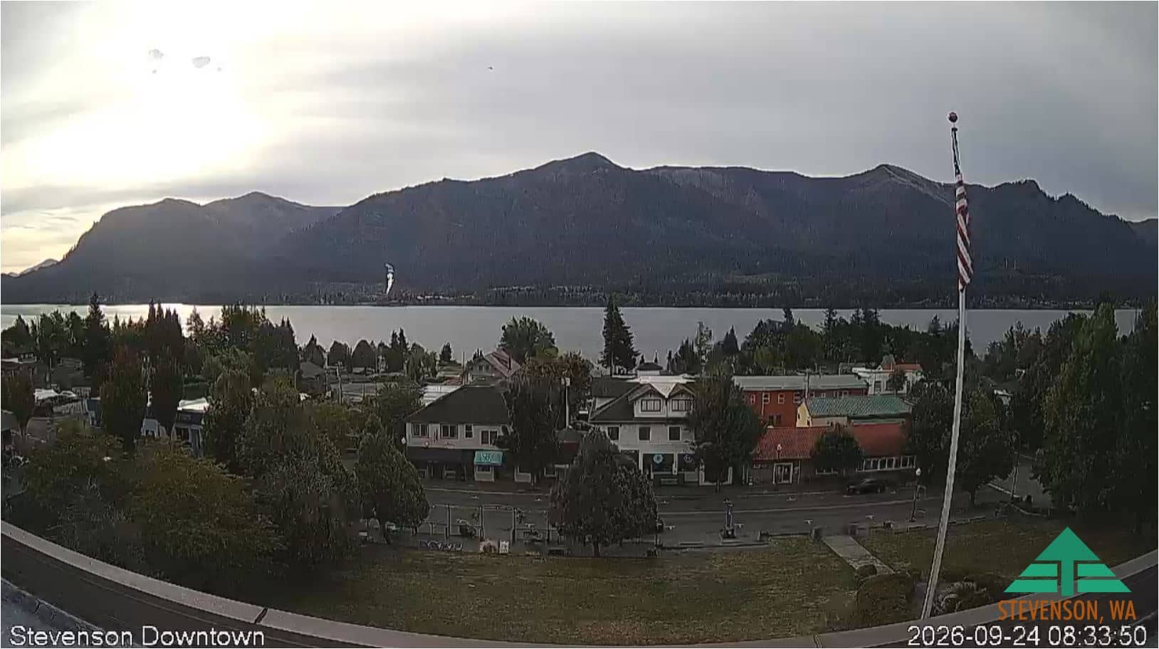
The area has a mountain climate, with heavy snowfall in winter and mild, dry summers. Roads over the pass can need chains or snow tyres in cold weather, so check conditions before setting out. Nearby, Government Camp and Mt Hood Meadow offer related views, and Stevenson and West Linn cameras cover other parts of the Columbia Gorge and the Portland area.
Source: Webcam Mt Hood
Oregon, United States — 0.1 km
Oregon, United States — 7.5 km
Washington, United States — 43 km
Washington, United States — 44 km

Oregon, United States — 80 km
Oregon, United States — 81 km

Oregon, United States — 81 km

Oregon, United States — 82 km

Oregon, United States — 87 km
Washington, United States — 99 km
The current conditions and a three-day forecast are shown in the weather block on this page. Mountain weather changes quickly, so check it together with the live view before travelling.
The local time is displayed on this page and follows the Pacific time zone used in Oregon, including daylight saving changes.
The camera is on the southern flank of Mount Hood in Oregon, at about 1,640 metres altitude, and the map on this page marks its position.
Winter and spring usually show the most snow on the slopes, and early mornings often offer the clearest sky before clouds form over the peak.
Partner links: we may earn a commission at no extra cost to you.