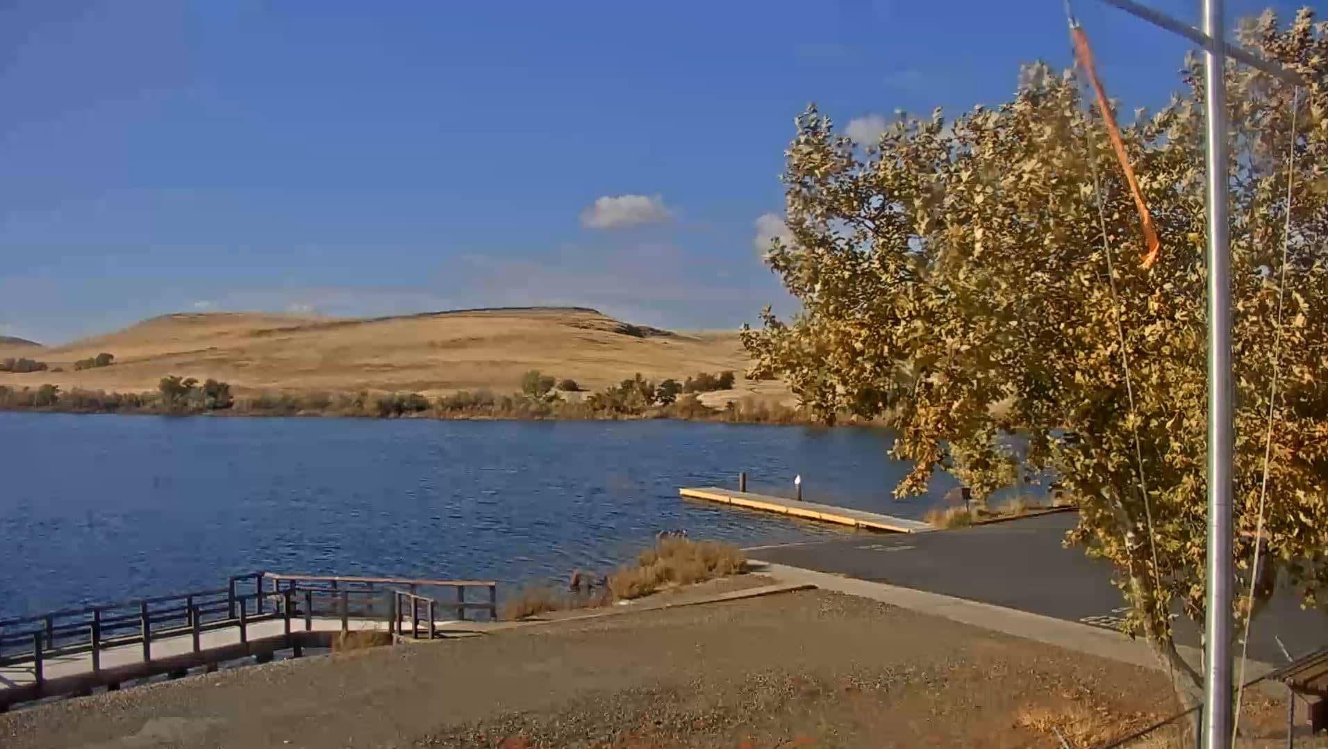
Lake Oroville
California, United States — 31 km
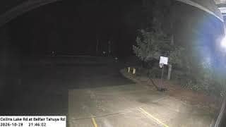
Yuba County - Collins Lake Rd at Belfair Tahuya Rd
🇺🇸 California · United States — Altitude 363 m
This camera watches a rural road junction in Yuba County, in the foothills of Northern California. It is useful for seeing the current conditions on the approach to Collins Lake and for checking how the weather is developing in the area. The embedded stream is provided by its source and runs alongside the live weather and time shown on this page.
Yuba County sits where the flat Sacramento Valley meets the rising Sierra Nevada foothills. The landscape is a mix of oak woodland, grassland and small reservoirs, with the Yuba and Feather rivers shaping the land. Collins Lake, a reservoir used for recreation, lies in this foothill country and draws visitors from the region. The area feels quieter and more open than the cities to the south and west.
The camera is titled after a rural road intersection, so it shows the road and the surrounding terrain rather than a busy urban scene. Depending on the view, you may notice traffic conditions, the state of the pavement, and how the vegetation changes with the seasons. Early mornings and late afternoons usually bring the clearest light and the most visible shadows across the hills, while winter storms make the road conditions worth watching.
Summers in the foothills are hot and dry, while winters are mild with most of the rain falling between November and March. Spring is often the greenest season. Collins Lake is reached by local roads from the nearby towns, so check conditions before driving in wet weather. Other cameras in the wider region include Lake Oroville, Nelson, Roseville and Diamond Springs, which show different parts of Northern California.
Source: CamStreamer
California, United States — 31 km
California, United States — 48 km
California, United States — 78 km

California, United States — 80 km
California, United States — 82 km

California, United States — 90 km

California, United States — 93 km

California, United States — 93 km

California, United States — 93 km
California, United States — 95 km
The current conditions and a three-day forecast for Yuba County are shown in the live weather block on this page. They update together with the camera view.
The local time for Yuba County, California, is displayed on this page and follows the Pacific time zone used across the region.
The camera is at the Collins Lake Road junction with Belfair Tahuya Road in Yuba County. The map on this page marks the position in the foothills north of Sacramento.
Early morning and late afternoon give the clearest light across the hills. Winter is worth watching if you want to see weather and road conditions.
Partner links: we may earn a commission at no extra cost to you.