Thomas Mountain
California, United States — 0.8 km
🇺🇸 California · United States — Altitude 1384 m
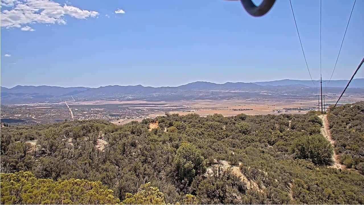
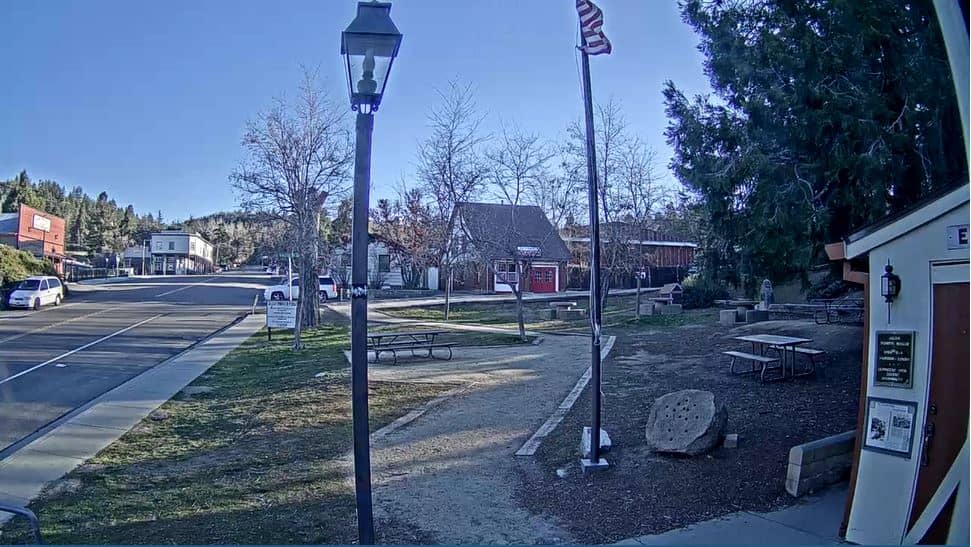
This live camera looks out from Thomas Mountain in the San Jacinto range above Riverside County, California. It is a useful window on mountain conditions that can differ sharply from the desert floor just below. Watch it to judge cloud, haze and visibility before heading up into the hills.
Thomas Mountain rises to about 1,384 metres in the San Jacinto Mountains, a range that climbs steeply from the Coachella Valley near Palm Springs. The slopes carry pine and oak woodland, a contrast to the arid lowlands visible in the distance on clear days. The area sits within a broader landscape of forested ridges, granite outcrops and mountain communities such as Idyllwild, which many visitors use as a base.
As a mountain camera, the view is mainly about the sky, the ridgelines and the air over the valleys. Early mornings often bring the clearest air, while afternoons can build clouds over the peaks. Seasonal changes matter too: winter storms may leave snow on higher ground, and summer heat often produces a hazy layer over the desert to the east. Check the live stream and local weather together to judge what you are seeing.
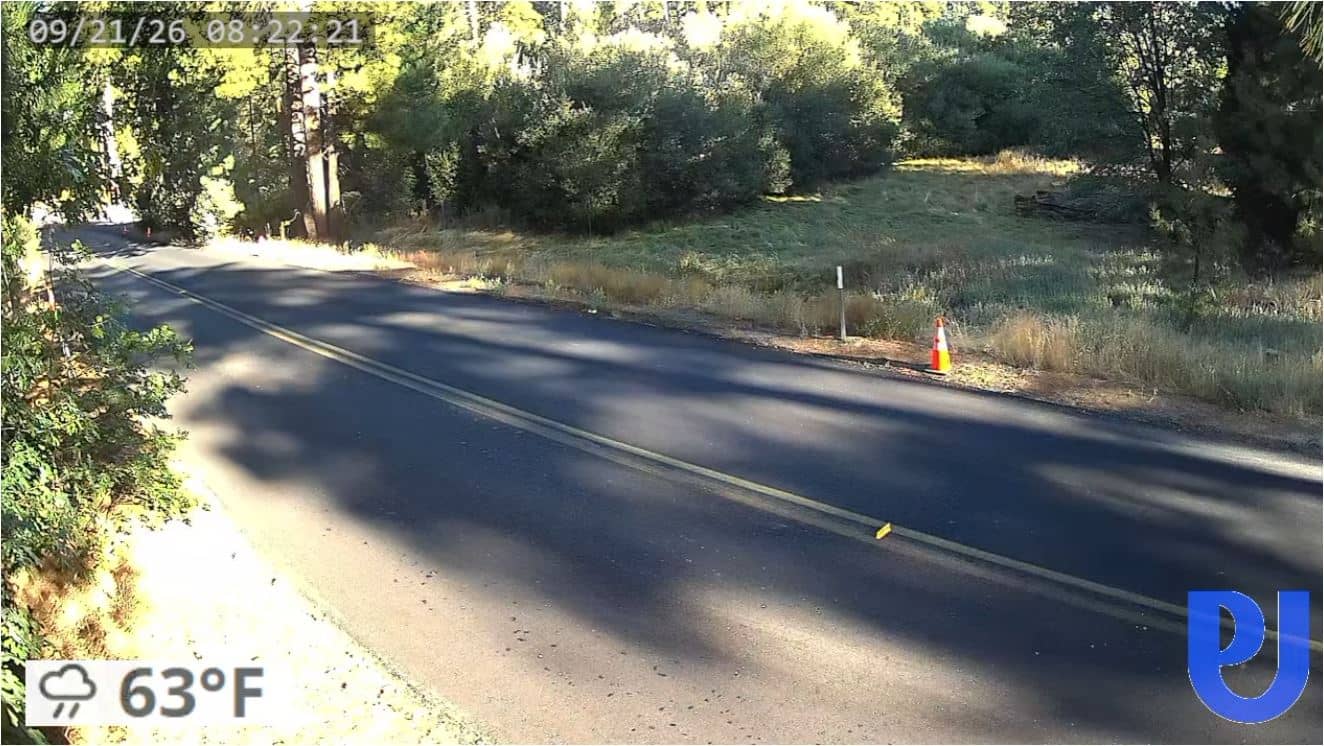
The San Jacinto range has a mild, dry climate at lower elevations and cooler, wetter conditions near the summit, so temperatures can be many degrees lower than in the valley below. Spring and autumn are generally the most comfortable seasons for visiting. Nearby cameras include Idyllwild, about 17 km away, and Pine Cove - Dutch Flats at roughly 19 km, which offer alternative views of the same mountain country.
Source: CamStreamer
California, United States — 0.8 km
California, United States — 17 km

California, United States — 18 km
California, United States — 19 km

California, United States — 26 km
California, United States — 26 km
California, United States — 29 km
California, United States — 40 km
California, United States — 41 km
California, United States — 60 km
The current conditions and a 3-day forecast are shown in the live weather block on this page. Mountain weather can differ noticeably from the valley, so check it before you travel.
The local time for the camera location is shown on this page. It follows the Pacific time zone used across much of California.
The camera is in Riverside County, California, at an altitude of about 1,384 metres in the San Jacinto Mountains. The map on this page shows its precise position.
Clear mornings give the sharpest views, while winter and early spring may show snow on higher slopes. Afternoons often bring clouds, so the stream is worth checking at different times of day.
Partner links: we may earn a commission at no extra cost to you.