
Täsch - Schalisee - piste de fond
Valais, Switzerland — 1 km
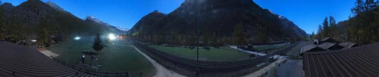
Zermatt - Golf Club Matterhorn
🇨🇭 Valais · Switzerland — Altitude 1426 m
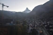
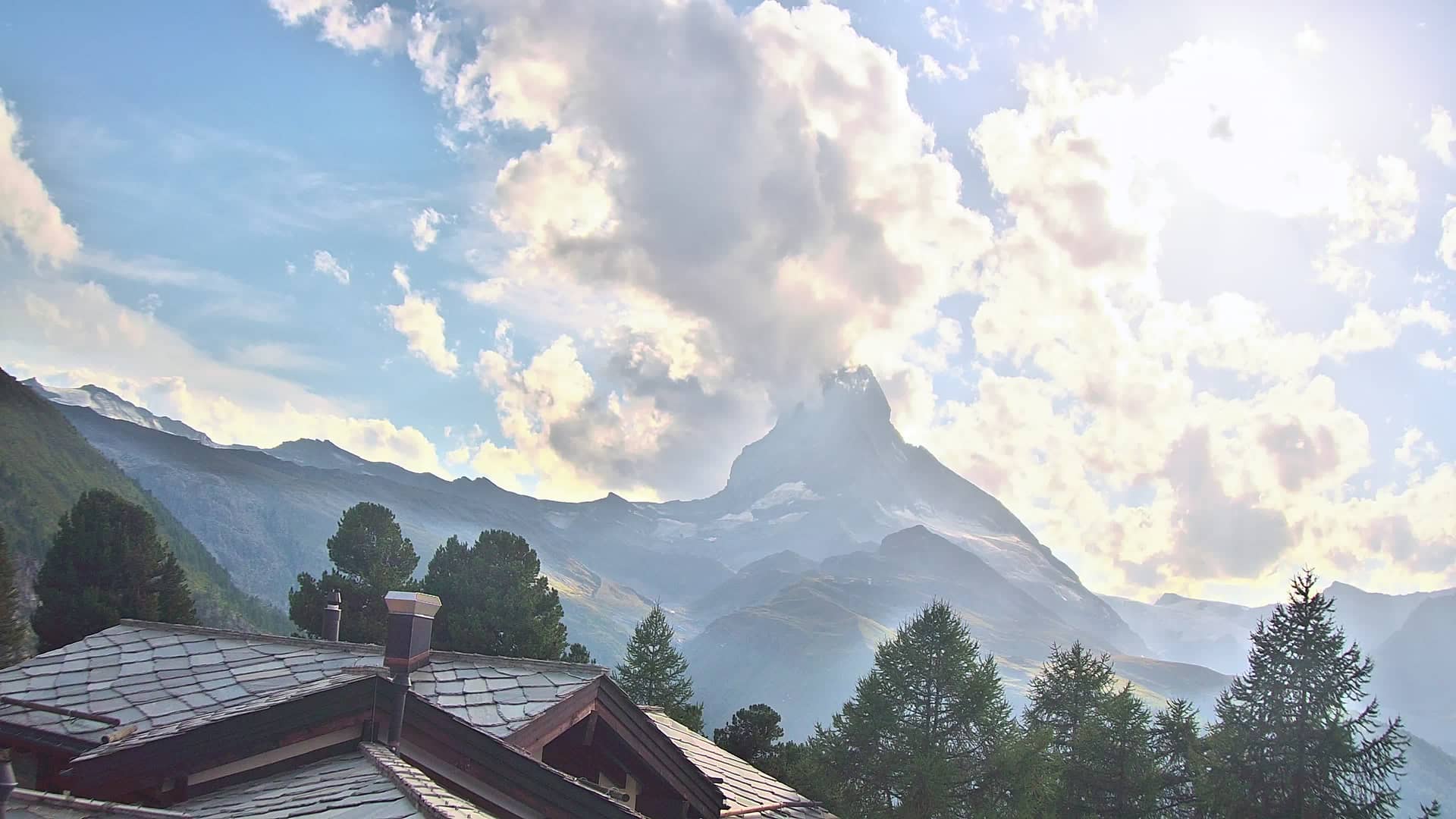
This live camera looks toward the Matterhorn from the golf course at Zermatt, one of the most photographed peaks in the Alps. It is a useful way to check how clear the summit is before planning a walk, a ride up the mountain or a day on the slopes.
Zermatt sits in the Valais canton of Switzerland at roughly 1,600 metres, in a valley closed to car traffic in its centre. The town is known for the Matterhorn, the pyramid-shaped peak on the Swiss-Italian border, and for its role as a base for mountaineering, skiing and high-altitude hiking. Electric taxis and horse-drawn carriages move through the streets, and the views open up wherever you stand.
The view is aimed at the mountain and the surrounding landscape rather than at the streets. Because the Matterhorn often hides behind cloud, the best moments are early morning, when the first light reaches the peak, and clear spells after a passing front. Snow cover changes the picture noticeably between winter and summer, so it is worth comparing a few visits across the year.
Summers are mild and winters are cold and snowy, and the resort is busiest in ski season and in July and August. Trains from Täsch and the road from Visp end at the village, so visitors usually arrive by rail and continue on foot or electric vehicle. Other cameras nearby include Täsch Village, Schalisee and the Rothorn view above Zermatt.
Source: roundshot.com
Valais, Switzerland — 1 km

Valais, Switzerland — 2.3 km

Valais, Switzerland — 7.5 km
Valais, Switzerland — 7.6 km
Valais, Switzerland — 7.7 km
Valais, Switzerland — 7.8 km

Valais, Switzerland — 7.9 km
Valais, Switzerland — 8 km
Valais, Switzerland — 9 km
Valais, Switzerland — 9.7 km
The current conditions and a three-day forecast for Zermatt are shown in the weather block on this page. They update with the live view, so you can judge visibility and temperature before you go out.
The local time for Zermatt is displayed on this page. It follows Swiss time, so check it if you are planning to call or join a guided tour.
The camera is on the golf course at Zermatt in the Swiss Alps, at about 1,426 metres above sea level. The map on this page shows its exact position relative to the village.
Early mornings and the hours just after a storm usually give the clearest view of the peak. In winter, fresh snow often brings the most dramatic contrast on the mountain.
Partner links: we may earn a commission at no extra cost to you.