
Kandersteg - Spittelmatte
Bern, Switzerland — 1 km
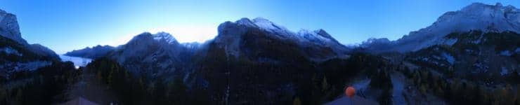
Kandersteg - Sunnbüel
🇨🇭 Bern · Switzerland — Altitude 1940 m
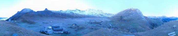
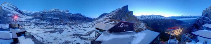
This camera looks out over the mountain setting of Kandersteg, a village in the Bernese Oberland at about 1940 metres above sea level. It is a useful way to check how the high valley looks right now before you plan a walk, a ride or a drive up the Lötschberg side of the region.
Kandersteg sits at the northern entrance to the Lötschberg railway tunnel, in a wide valley between steep limestone walls and glaciated peaks. It is known as a base for hiking, climbing and summer alpine trails, and the Oeschinensee lake lies nearby. The character of the place is quiet and mountainous, with pine forest, meadows and a strong sense of altitude.
Because the camera is aimed at the high mountain terrain, the view changes most with cloud, snowfall and the light of the day. Clear mornings often bring the sharpest outlines of the ridges, while late afternoon can soften the slopes. In winter the snow cover is the main feature, and in spring and autumn the shifting cloud and first snow on the peaks are worth watching. Check the live weather on this page before expecting a clear view.
Summers are mild and generally the best time for walking, with winters cold and snowy, which suits skiing and winter sports. Kandersteg is well served by rail and road from Bern and the Valais side. Nearby cameras on this site show the Spittelmatte area, the Nordic centre and the luge runs, which can help you judge conditions in the valley before you go.
Source: roundshot.com
Bern, Switzerland — 1 km

Bern, Switzerland — 4.1 km
Bern, Switzerland — 6 km
Bern, Switzerland — 6 km
Bern, Switzerland — 6.4 km
Bern, Switzerland — 6.5 km
Bern, Switzerland — 6.7 km
Valais, Switzerland — 7.2 km

Bern, Switzerland — 8 km
Valais, Switzerland — 8.1 km
The current conditions and a three-day forecast for Kandersteg are shown in the live weather block on this page. They update with the camera view, so you can compare what you see with the actual temperature and cloud cover.
The local time for Kandersteg is displayed on this page and follows Swiss local time. It is shown alongside the live stream so you can judge daylight and plan your viewing.
The camera is in the Kandersteg area of the Bern region in Switzerland, at about 1940 metres altitude. The map on this page marks its position relative to the village and the surrounding valley.
Clear weather in the morning or late afternoon usually gives the most detail on the peaks. In winter, fresh snow makes the scene most striking, though cloud can hide the summits for long periods.
Partner links: we may earn a commission at no extra cost to you.