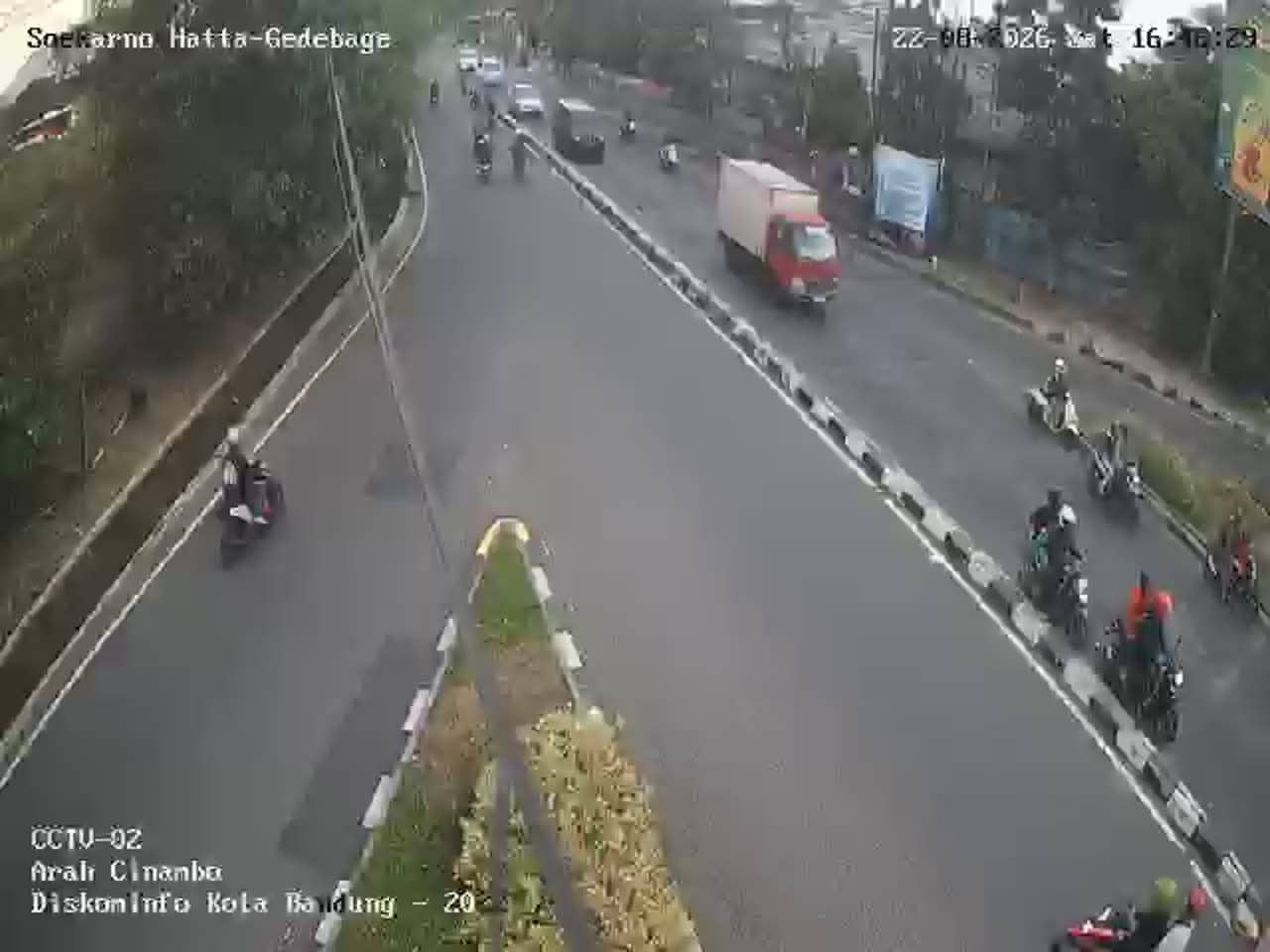
Bandung - Soekarno Hatta - Gedebage 02
West Java, Indonesia — 0.1 km
Bandung - Tb Jl. Rumah Sakit
🇮🇩 West Java · Indonesia — Altitude 672 m
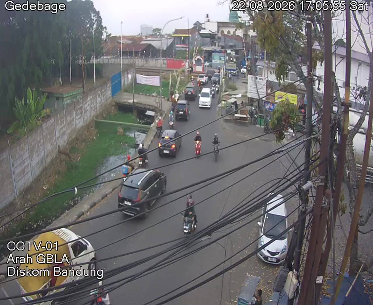
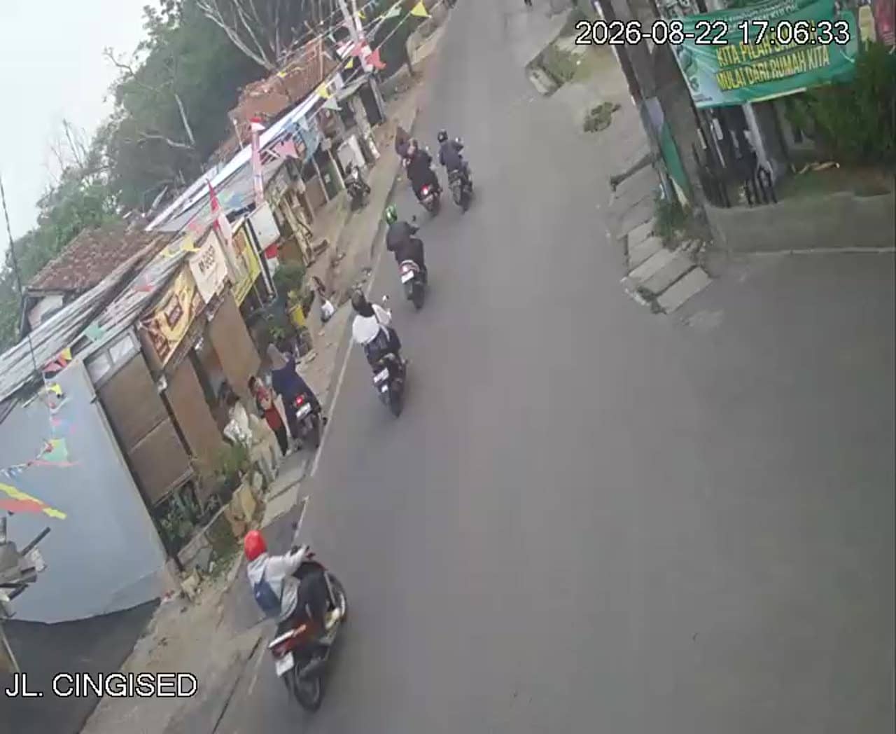
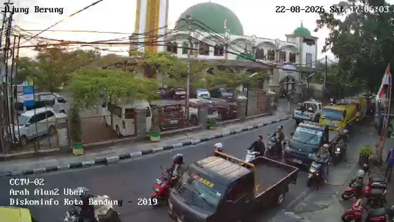
This live stream covers a street-level traffic point on Jalan Rumah Sakit in Bandung, the capital of West Java. It is useful for checking how busy the road is before you travel or for getting a sense of the city's daily rhythm. The video runs alongside local time and weather for Bandung on this page.
Bandung is a highland city about 670 metres above sea level, surrounded by volcanic hills and tea plantations, which gives it a cooler climate than most of Indonesia. It is known for its colonial-era architecture, a large university population, creative industries and fashion markets. The city is a popular weekend escape for residents of Jakarta, who come for the cooler air and food scene.
The camera is a road-side view, so the most useful things to watch are traffic flow, pedestrians and the weather conditions on the street. Morning and late afternoon usually bring the heaviest vehicle movement during working hours. Rain is common in Bandung, especially in the wetter months, and a wet road can change how the scene looks from one hour to the next.
Bandung has a fairly mild year-round climate, but the wetter season from around November to March brings frequent afternoon showers. Taxis and ride-hailing apps are the easiest way to get around the city centre. Several other Bandung cameras in the Gedebage area are listed nearby on this page if you want to compare views across the city.
Source: pelindung.bandung.go.id
West Java, Indonesia — 0.1 km
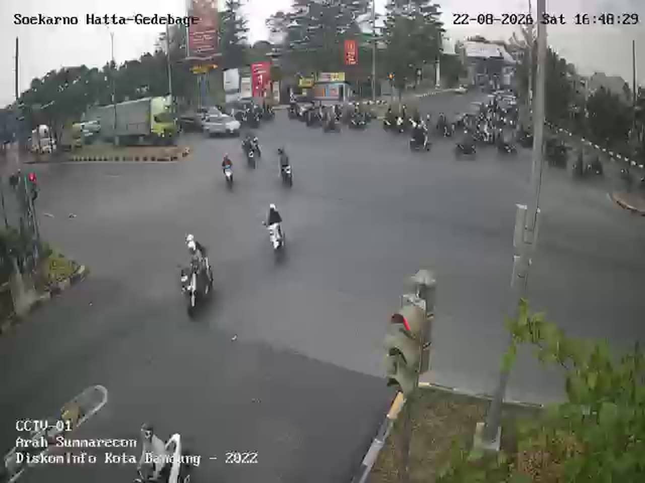
West Java, Indonesia — 0.1 km
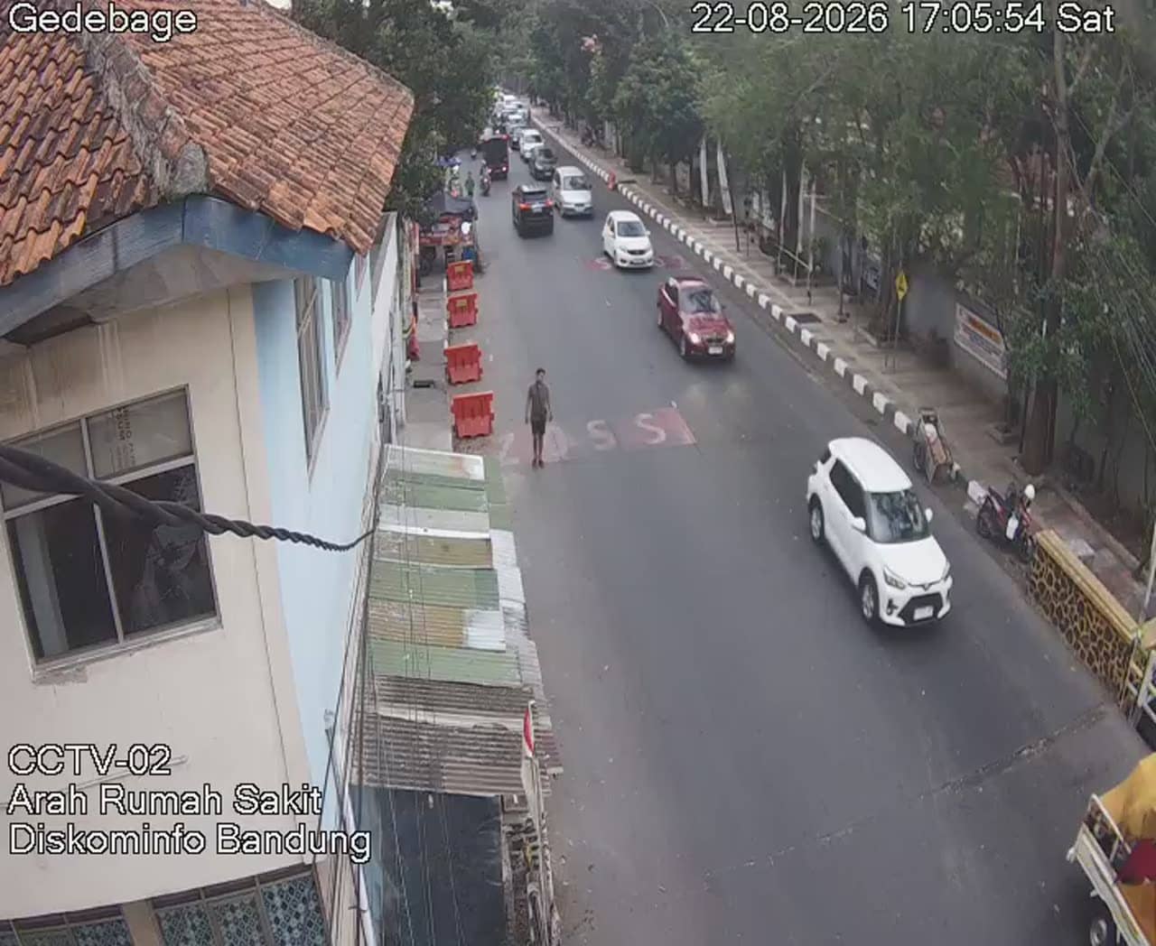
West Java, Indonesia — 0.5 km
West Java, Indonesia — 0.5 km

West Java, Indonesia — 1.2 km

West Java, Indonesia — 1.2 km
West Java, Indonesia — 2 km

West Java, Indonesia — 2.6 km

West Java, Indonesia — 2.6 km
West Java, Indonesia — 2.7 km
The current weather for Bandung is shown in the live weather block on this page, together with a three-day forecast. Conditions can change quickly in the highlands, so check it before heading out.
The local time for Bandung is displayed on this page and updates live. Bandung uses Western Indonesia Time, which is ahead of UTC by seven hours.
The camera is on Jalan Rumah Sakit in Bandung, West Java, at an altitude of about 670 metres. The map on this page marks its position so you can see the surrounding streets.
Weekday mornings and late afternoons are usually the busiest periods on city roads, so they make the most of the traffic view. Dry days give the clearest picture, while rainy afternoons show how quickly the street conditions change.
Partner links: we may earn a commission at no extra cost to you.