
Bandung - Kopo - Rs Bandung Kiwari 02
West Java, Indonesia — 0.3 km

Bandung - Tb Jl. Raya Kopo Citarip
🇮🇩 West Java · Indonesia — Altitude 691 m
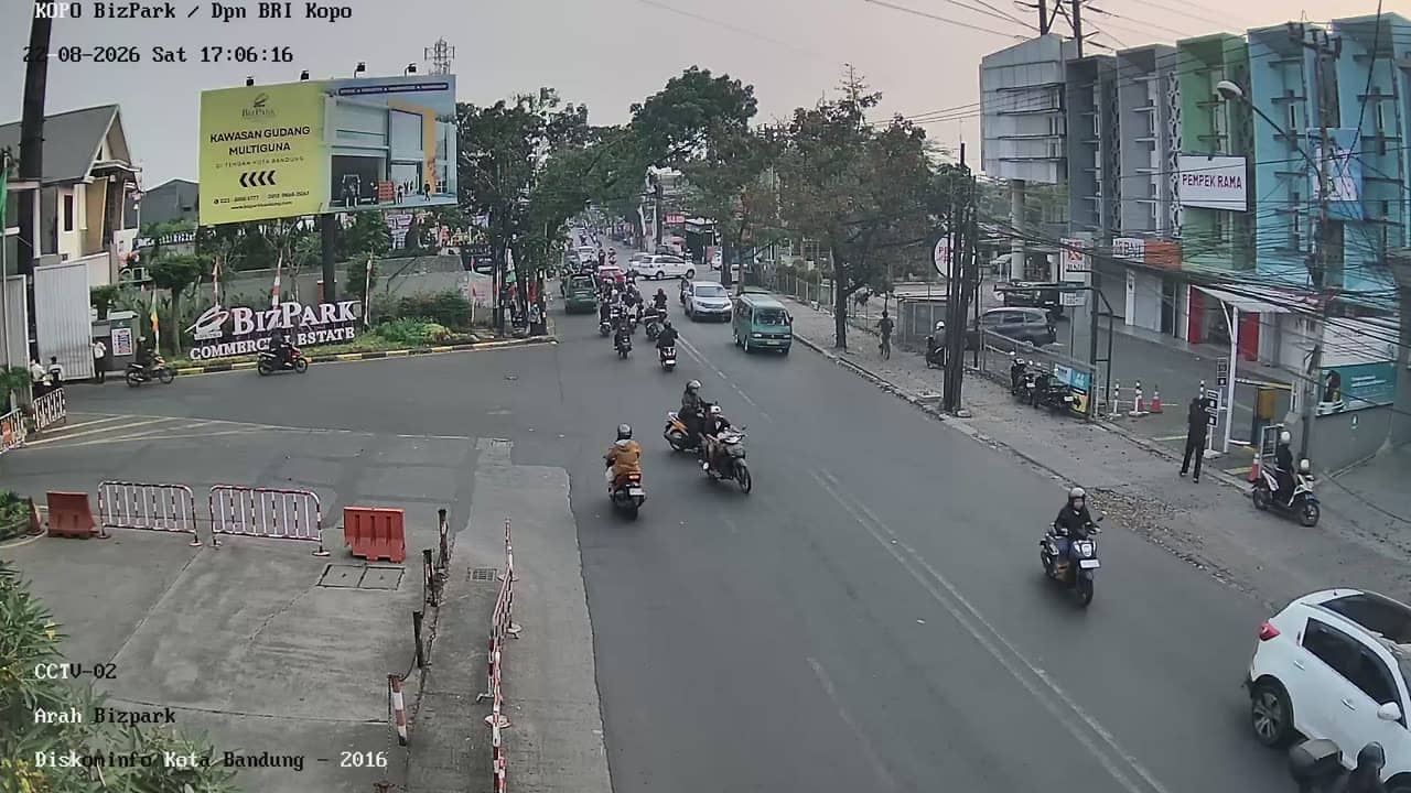
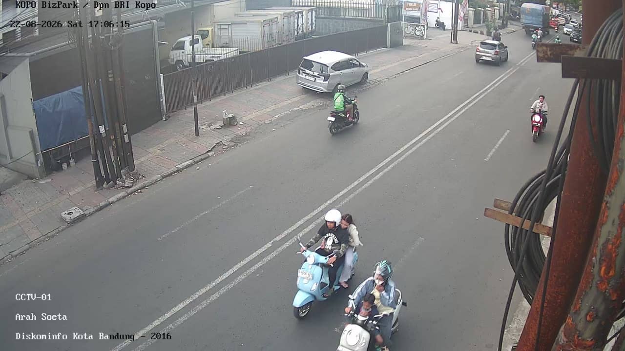
This live stream looks over Jalan Raya Kopo Citarip, a main road on the southern side of Bandung, the capital of West Java. It is useful for anyone wanting a real-time sense of traffic on this busy corridor before travelling or meeting someone in the area. The page also shows the local time and weather for Bandung.
Bandung sits in a volcanic highland basin roughly 700 metres above sea level, which gives the city a cooler climate than most of Indonesia. It is known for its colonial-era architecture, a lively food and craft scene, and its role as a university city. The Kopo area lies to the south of the centre, where residential neighbourhoods, markets and local industry meet the main arterial roads.
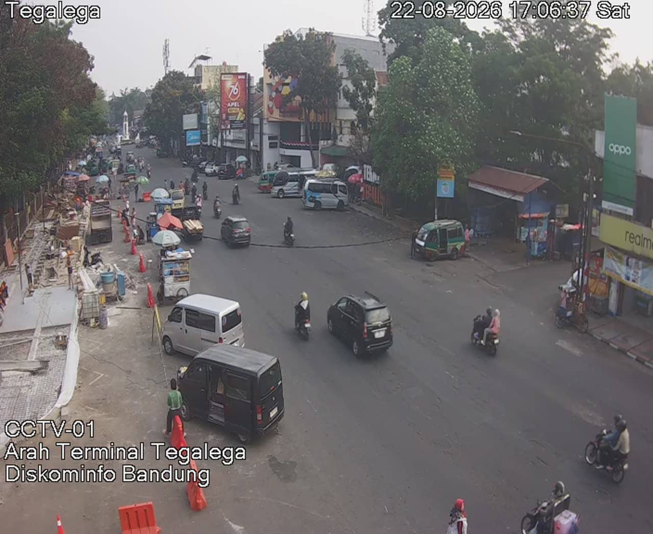
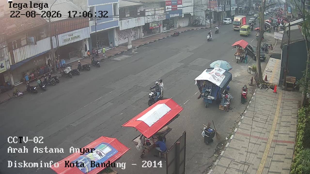
The title identifies this as a road view on Jalan Raya Kopo Citarip, so the picture is mainly about vehicles, traffic density and the flow along the street. Depending on the angle, you may also see roadside buildings and pedestrians. Weekday mornings and late afternoons usually bring the heaviest traffic, while weekends tend to be calmer. Rain is common in the wet season and can quickly change visibility.
Bandung has a mild, fairly constant temperature through the year, and the drier months from roughly June to September are generally considered the most comfortable time to visit. Getting around usually means ride-hailing apps, minibuses or taxis, and traffic can be slow at peak hours. Other live views in the same area include the Kopo hospital road cameras and the Leuwi Panjang flyover cameras, which are worth checking for a wider picture.
Source: pelindung.bandung.go.id
West Java, Indonesia — 0.3 km

West Java, Indonesia — 0.3 km

West Java, Indonesia — 0.6 km

West Java, Indonesia — 0.6 km
West Java, Indonesia — 1.2 km
West Java, Indonesia — 1.3 km
West Java, Indonesia — 1.5 km
West Java, Indonesia — 1.6 km
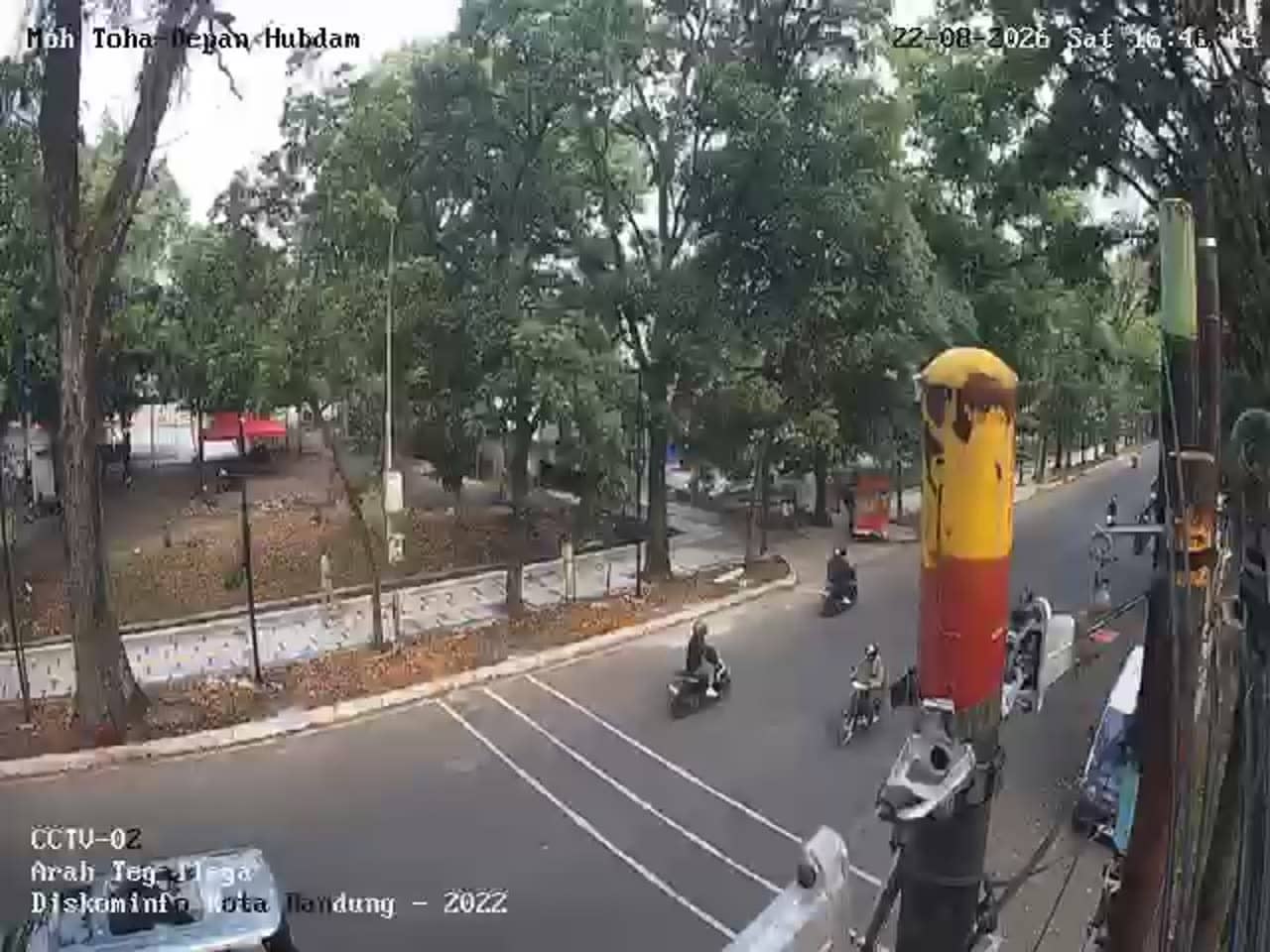
West Java, Indonesia — 1.7 km
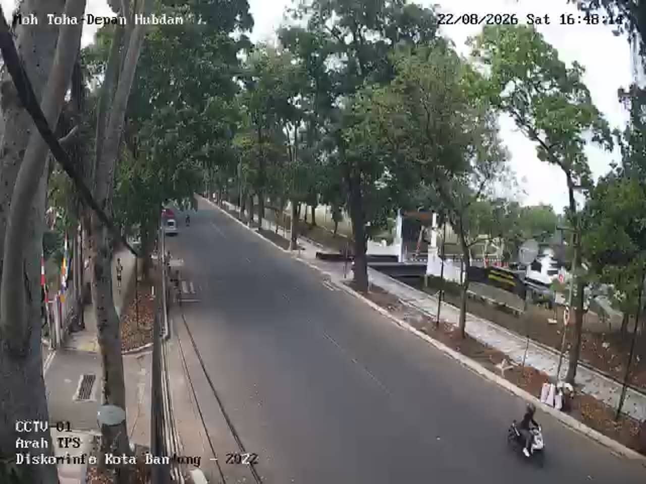
West Java, Indonesia — 1.7 km
The current conditions and a 3-day forecast for Bandung are shown in the live weather block on this page. Values update automatically, so you always see the latest reading for the city.
The local time for Bandung is displayed on this page and updates live. Indonesia uses several time zones, and Bandung follows western Indonesian time.
The camera overlooks Jalan Raya Kopo Citarip in the Kopo area of southern Bandung, West Java, at an elevation of about 690 metres. The map on the page marks its position.
Weekday rush hours, typically early morning and late afternoon, show the busiest traffic. Check the live weather as well, since heavy rain can reduce visibility on the road.
Partner links: we may earn a commission at no extra cost to you.