
Bandung - Jalan Rumah Sakit - Ujung Berung 01
West Java, Indonesia — 0 km

Bandung - Jalan Rumah Sakit - Ujung Berung 02
🇮🇩 West Java · Indonesia — Altitude 695 m
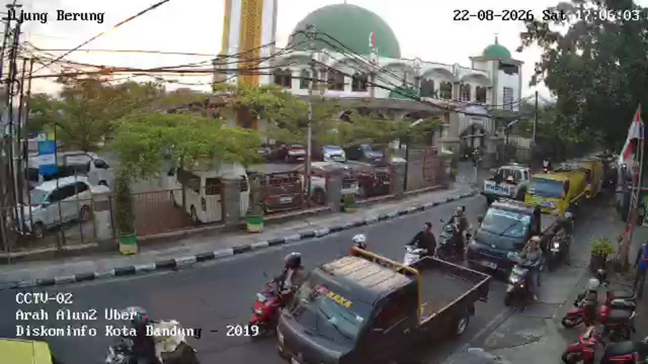
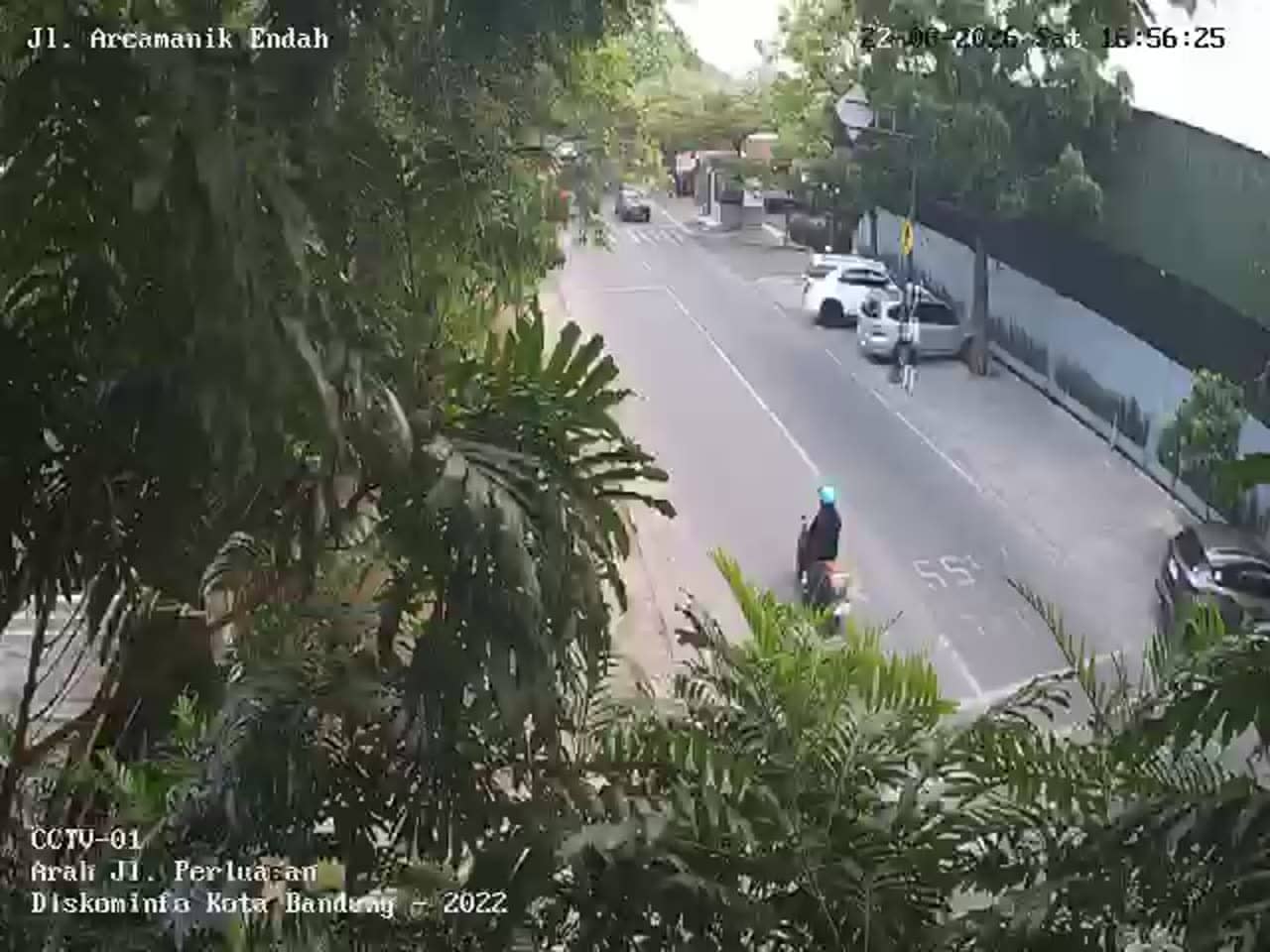
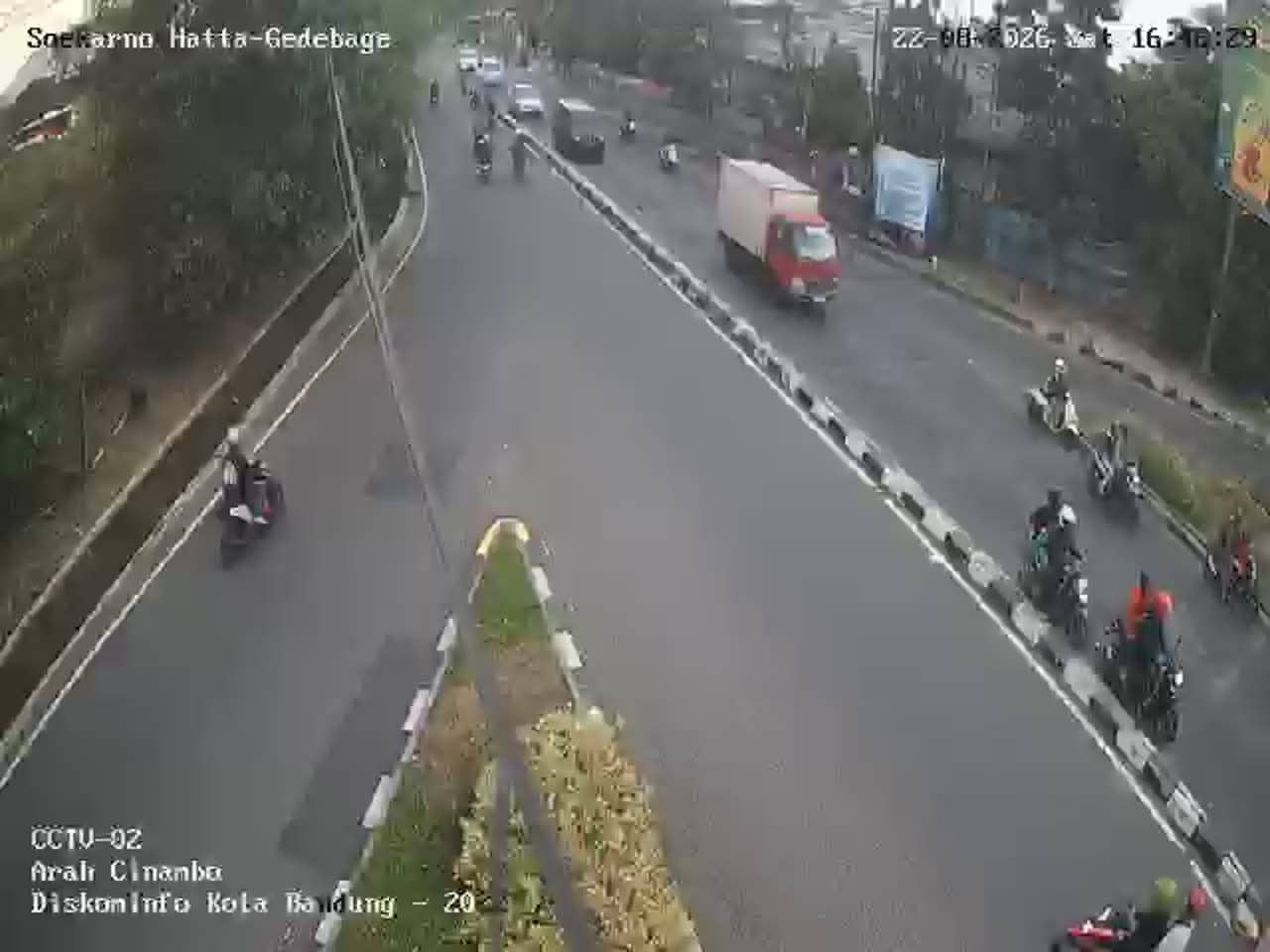
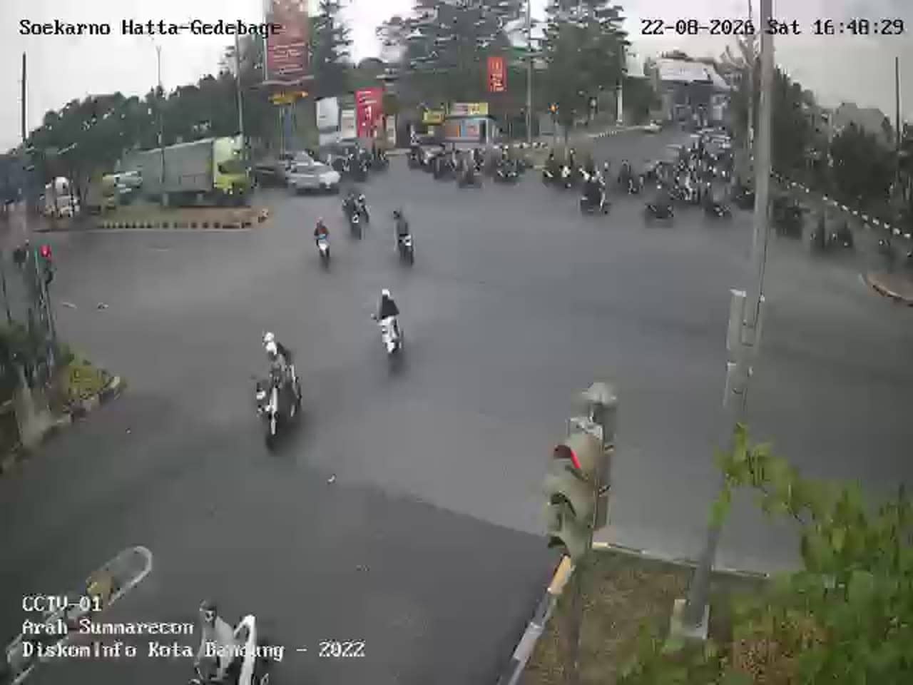
This live stream shows traffic on Jalan Rumah Sakit in the Ujung Berung district of Bandung, the capital of West Java. It is useful for anyone wanting to check how busy the road is before heading out, or simply to see everyday city movement in the Indonesian highlands.
Bandung sits in a volcanic valley about 695 metres above sea level, which gives the city a noticeably cooler climate than the coast. It is known for its colonial-era architecture, a lively university population, and a strong food and shopping scene. Ujung Berung lies on the eastern side of the city, where residential neighbourhoods meet busier arterial roads and the hills begin to rise.
The camera follows a city road, so the picture is mainly about vehicles, motorbikes and pedestrians rather than scenery. Depending on the view, you may notice peak commuting periods in the morning and late afternoon, when traffic typically slows. Weekday daytime is usually the most active, while evenings and weekends can look calmer. The stream is a live feed from the source, so conditions can change quickly.
Bandung has a tropical highland climate, mild for most of the year, with a wetter season from roughly November to March. Afternoon showers are common, so checking the live weather block on this page helps. Traffic in the eastern part of the city can be heavy at rush hour. Nearby cameras on Jalan Rumah Sakit, Jalan Alun Alun Ujung Berung, and at the Cijambe and Cinambo junctions let you compare conditions across the area.
The local time and three-day forecast for Bandung appear on this page alongside the stream. Use the map to see the exact position in relation to the city centre and the surrounding hills.
Source: pelindung.bandung.go.id
West Java, Indonesia — 0 km
West Java, Indonesia — 0.3 km

West Java, Indonesia — 1.1 km

West Java, Indonesia — 1.3 km

West Java, Indonesia — 1.3 km
West Java, Indonesia — 2.4 km
West Java, Indonesia — 2.4 km
West Java, Indonesia — 2.6 km
West Java, Indonesia — 2.6 km
West Java, Indonesia — 2.6 km
The current conditions and a three-day forecast for Bandung are shown in the live weather block on this page. Values update automatically, so you can check them before planning your trip.
The local time for Bandung is displayed on this page. Indonesia uses several time zones, and Bandung follows western Indonesian time.
The camera overlooks Jalan Rumah Sakit in the Ujung Berung district on the east side of Bandung. The map on this page marks its position against the city.
Weekday mornings and late afternoons usually show the heaviest traffic. Quieter views are typical in the middle of the day on weekends, though this depends on local events and weather.
Partner links: we may earn a commission at no extra cost to you.