
Bandung - Jalan Rumah Sakit - Ujung Berung 01
West Java, Indonesia — 1.1 km

Bandung - Pertigaan Ah Nasution - Cijambe 01
🇮🇩 West Java · Indonesia — Altitude 684 m
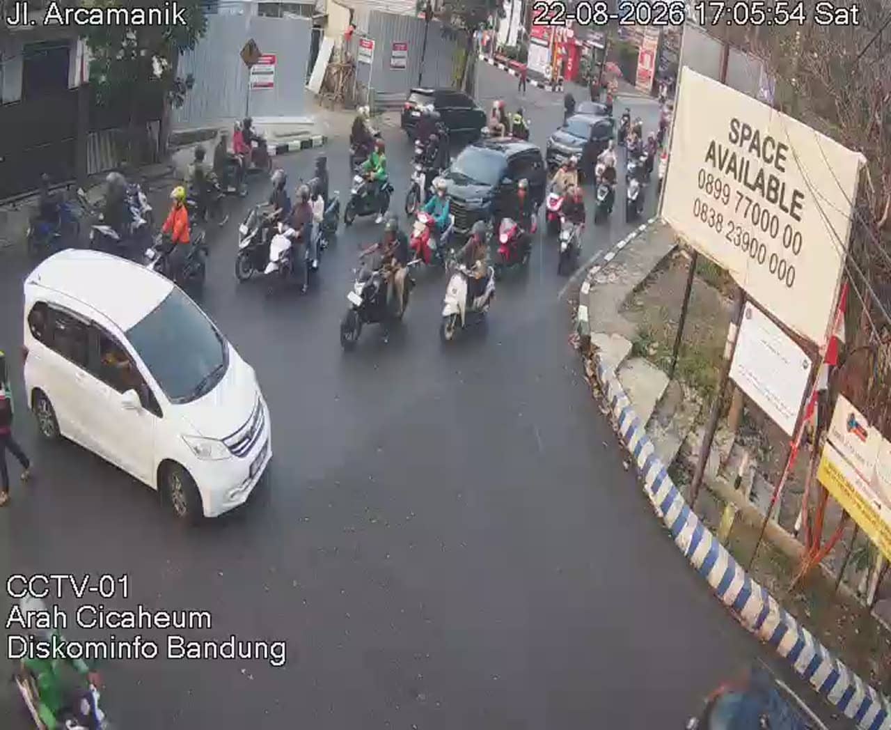
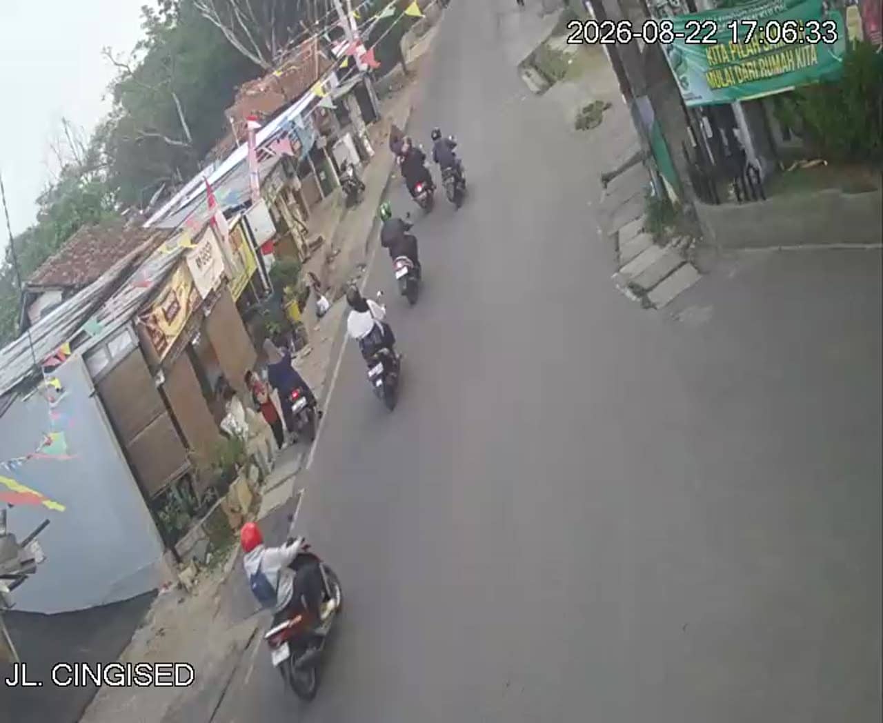
This live stream shows a busy junction in the Cijambe area of Bandung, the capital of West Java. It is useful for seeing how traffic is moving on the main roads before you travel across the city. The page also gives you the local time and the current weather for Bandung.
Bandung sits on a high plateau about 700 metres above sea level, surrounded by volcanic mountains and tea-covered hills. The city is known for its cooler air compared with Jakarta, its colonial-era architecture, and a lively food and shopping scene. Cijambe lies in the north-eastern part of the city, where residential neighbourhoods and main roads meet. The junction shown here is one of the arteries that carry daily commuter and local traffic.
The stream follows an urban crossroads, so the main thing to watch is vehicle flow, motorbikes and pedestrians crossing at the intersection. Activity is typically heaviest during the morning and late-afternoon rush hours on weekdays, and calmer late at night. Rain can change the picture quickly, so the view is worth checking if you are planning a trip. The exact layout of the scene depends on the camera angle at any given moment.
Bandung has a mild climate year round, with cooler nights than the Indonesian lowlands. The wettest months usually fall between November and March, so the dry season from around June to September is often the most comfortable for visiting. Getting around is easiest by ride-hailing apps or taxis. Other cameras in the area include Jalan Rumah Sakit in Ujung Berung, Jalan Alun Alun Ujung Berung and Sor Arcamanik, all within about a kilometre.
Local time and the current conditions for the area are shown on this page, together with a three-day forecast. Use them to decide whether a traffic check or a trip is worth making at the moment.
Source: pelindung.bandung.go.id
West Java, Indonesia — 1.1 km

West Java, Indonesia — 1.1 km
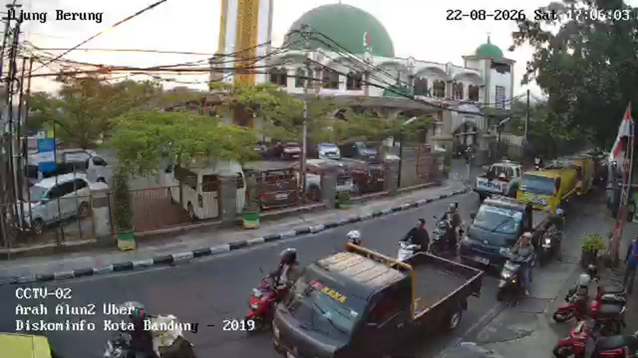
West Java, Indonesia — 1.3 km
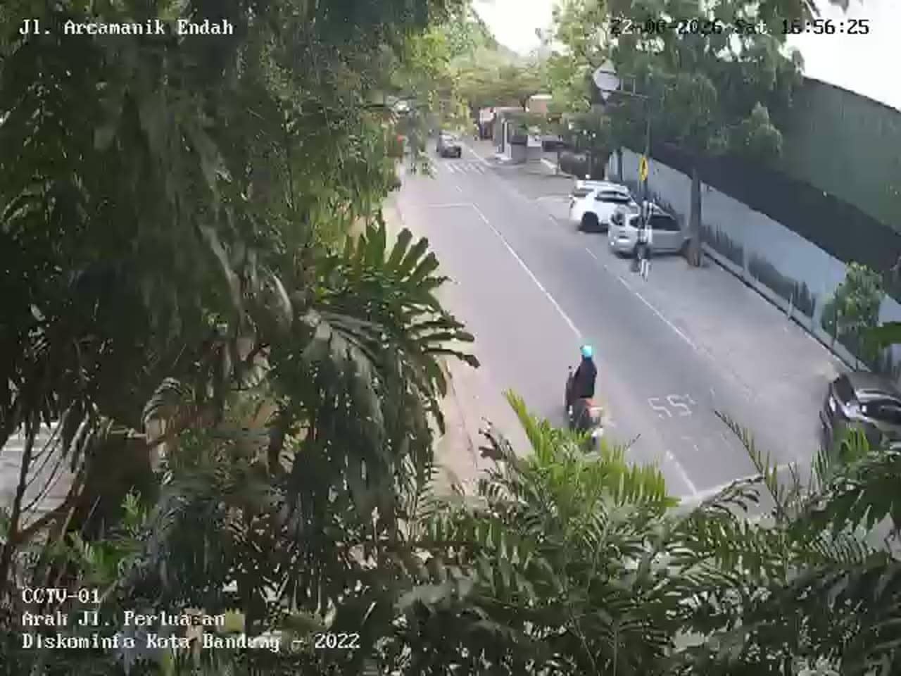
West Java, Indonesia — 1.5 km
West Java, Indonesia — 1.5 km

West Java, Indonesia — 1.8 km

West Java, Indonesia — 1.8 km
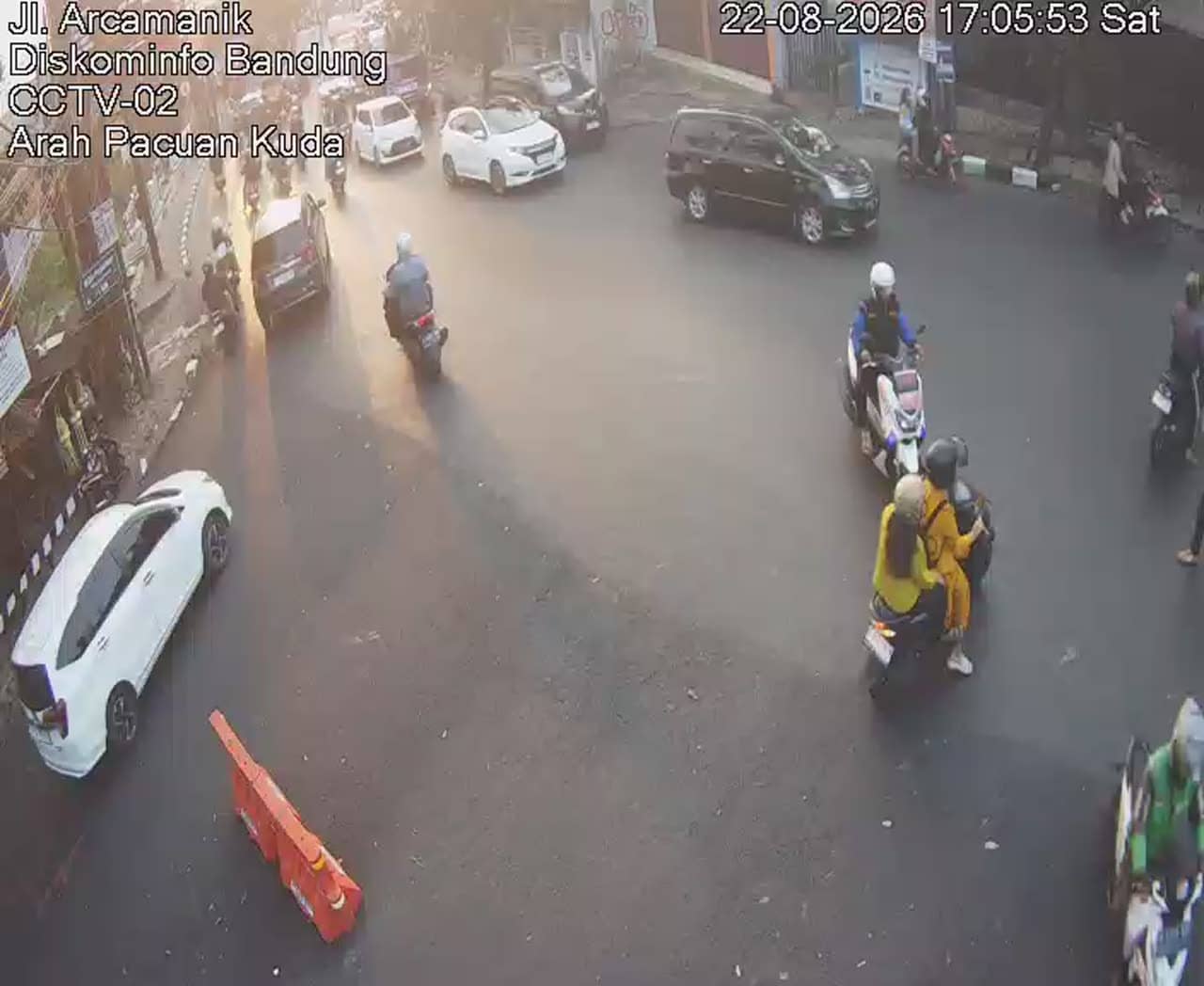
West Java, Indonesia — 1.9 km
West Java, Indonesia — 2 km
West Java, Indonesia — 2.5 km
The current weather and a three-day forecast for Bandung are shown in the live block on this page. They update with the page, so you can check conditions before deciding on a trip.
The local time for Bandung is displayed on this page and follows the time zone of western Indonesia. Use it to compare with your own time before watching the stream.
The camera watches the Ah Nasution crossroads in the Cijambe area of northern Bandung, West Java, at roughly 684 metres above sea level. A map on the page shows the position.
Weekday mornings and late afternoons usually show the busiest traffic at this junction. Late evenings tend to be quieter, and rainy spells can make the road scene change quickly.
Partner links: we may earn a commission at no extra cost to you.