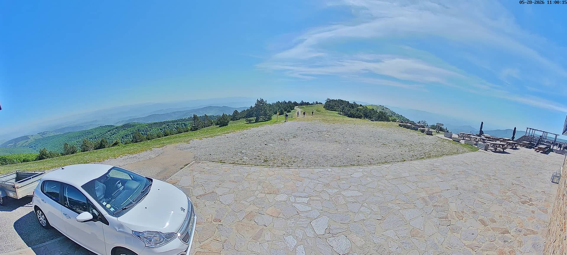
Mont Aigoual - Sommet Est
Occitania, France — 0.1 km
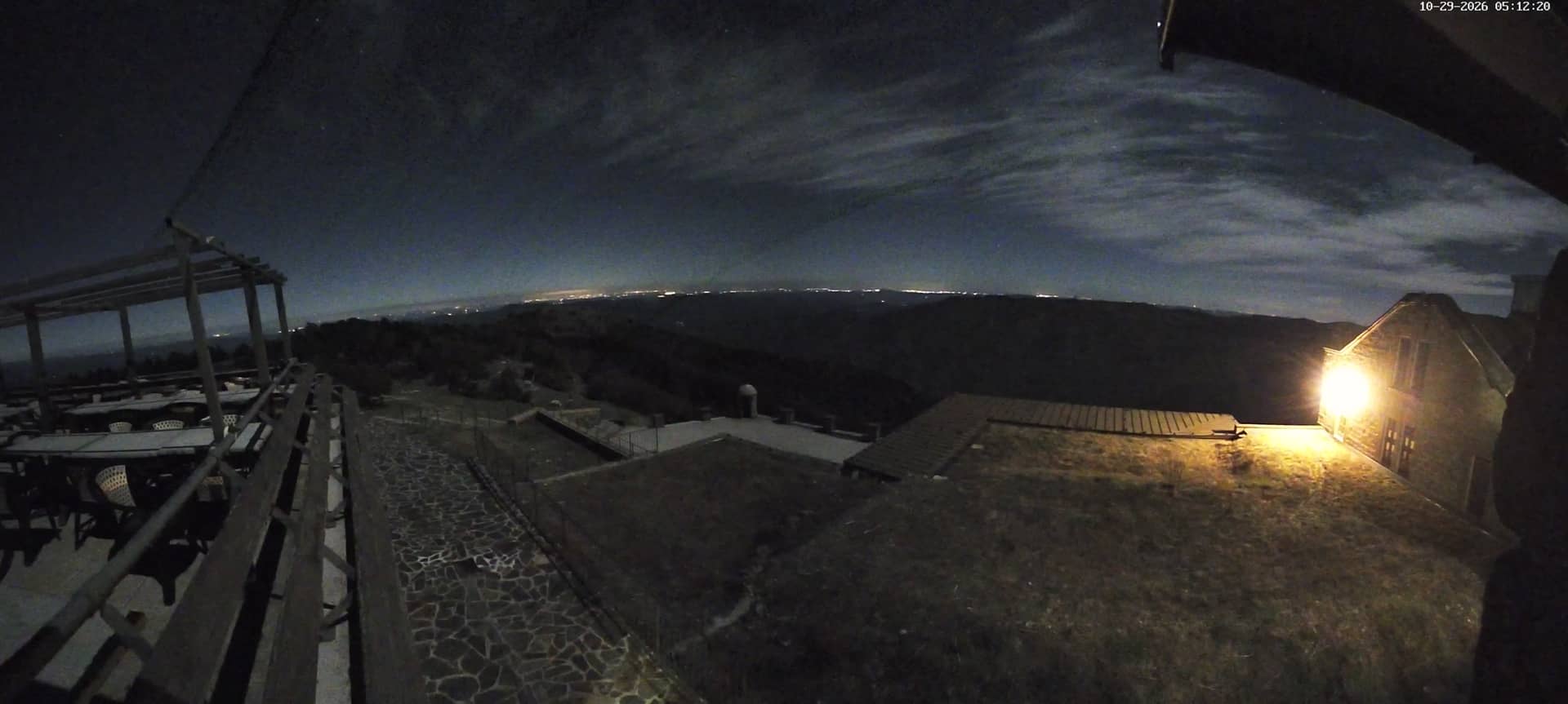
Mont Aigoual - Sommet Sud
🇫🇷 Occitania · France — Altitude 1557 m
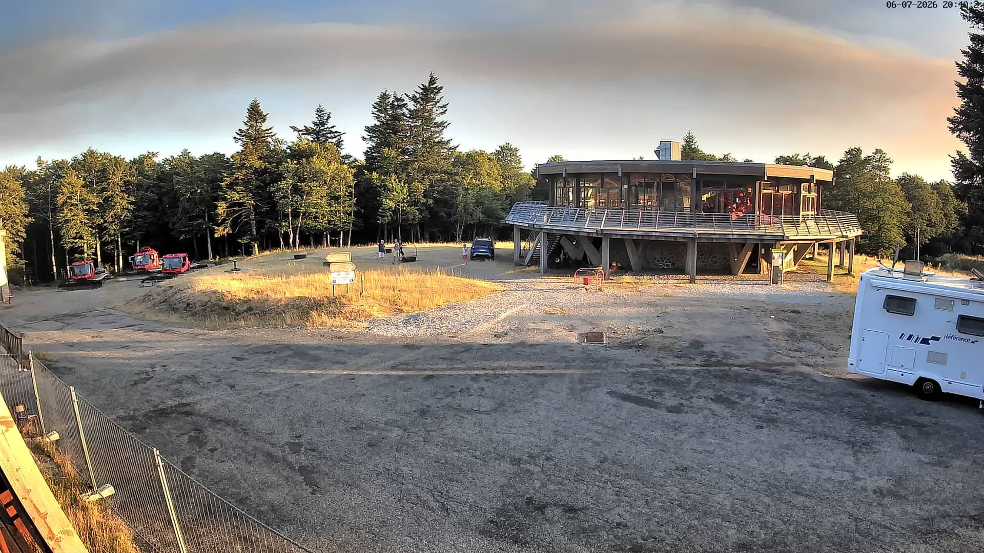
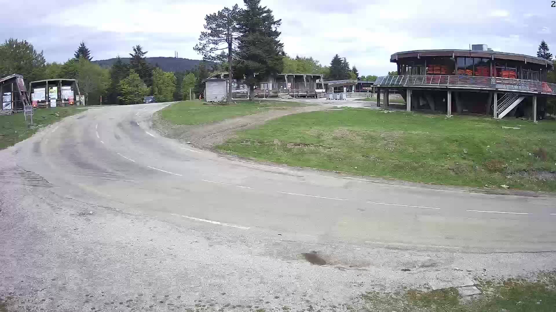
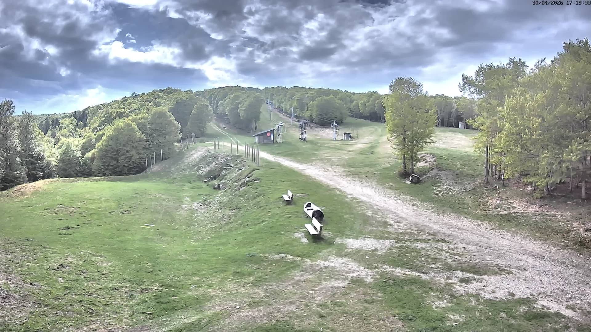
This live stream looks out from the southern summit of Mont Aigoual, one of the highest points of the Cévennes in southern France. Watching it helps you judge cloud cover, visibility and mountain weather before you plan a walk or drive into the area.
Mont Aigoual rises to 1,557 metres in the Gard department of Occitania, close to the Gorges du Tarn and the Cévennes National Park. The massif is known for its meteorological station, which has recorded weather here for more than a century, and for its beech and fir forests. Its exposed position makes it one of the windiest and wettest places in the region, with a landscape that changes quickly from sun to fog.
The camera's title places it on the southern summit, so the view is best judged by sky and cloud conditions rather than by fine detail. Clear mornings tend to offer the best visibility, while afternoon clouds often build over the mountain. Autumn and winter storms can bring fog or snow, and the stream is most useful for checking whether the summit is in cloud before you travel.
Summer is the most comfortable season for walking, but temperatures at this altitude stay cool and conditions can change within an hour. Roads to the summit can be affected by snow in winter. Nearby cameras on the same summit and at Prat Peyrot show the same weather from slightly different points, which is useful for comparing conditions across the massif.
Source: Station Alti Aigoual
Occitania, France — 0.1 km
Occitania, France — 0.5 km
Occitania, France — 2.4 km
Occitania, France — 2.4 km
Occitania, France — 2.4 km
Occitania, France — 2.4 km
Occitania, France — 2.4 km
Occitania, France — 2.5 km
Occitania, France — 24 km
Occitania, France — 33 km
The current conditions and a three-day forecast for the summit are shown on this page in the live weather block. They update automatically, so check there rather than relying on the stream alone.
The local time for the camera is displayed on this page and follows the time in France. Use it to plan daylight hours for hiking or photography.
The camera is on the southern summit of Mont Aigoual at about 1,557 metres altitude, in the Cévennes of Occitania, France. The map on this page marks its exact position.
Early mornings often give the clearest view before clouds form. In autumn and winter, watch for fog or snow, which are common at this altitude.
Partner links: we may earn a commission at no extra cost to you.