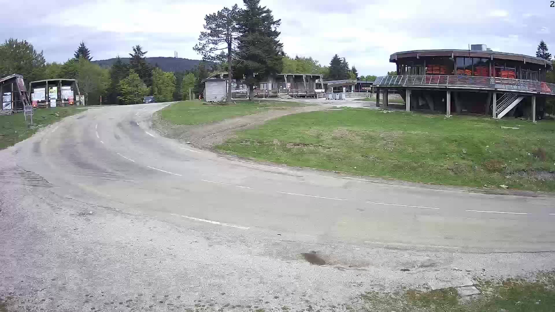
Prat Peyrot - Station Alti Aigoual
Occitania, France — 0 km
Prat Peyrot - Station Alti Aigoual
🇫🇷 Occitania · France — Altitude 1416 m
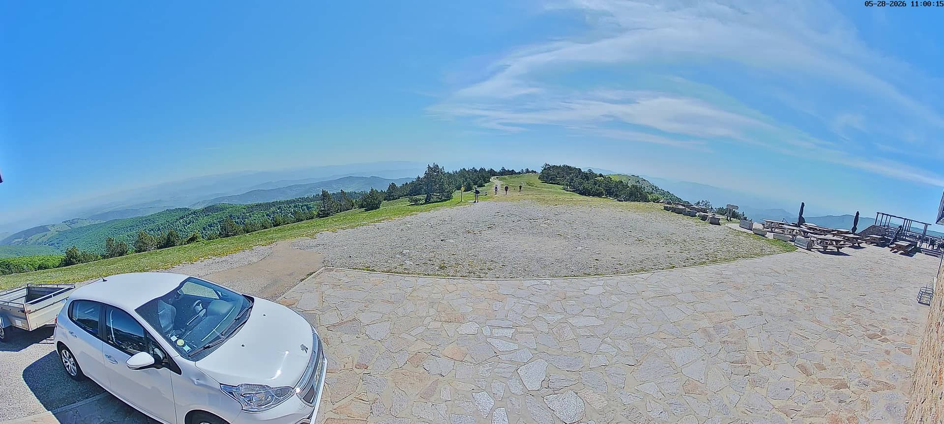
This live stream comes from the Aigoual altitude station above Prat Peyrot, a small settlement in the Cévennes uplands of Occitania. It is a useful view for anyone checking mountain conditions, cloud and visibility on the Aigoual range before heading out.
Prat Peyrot sits at roughly 1,400 metres on the Aigoual massif, one of the highest points in the Cévennes national park area of southern France. The landscape is open upland with beech and fir woods, granite and schist outcrops and long views across the valleys. The Aigoual is also known for being one of the wettest areas of mainland France, as moist air from the Mediterranean rises against its slopes.
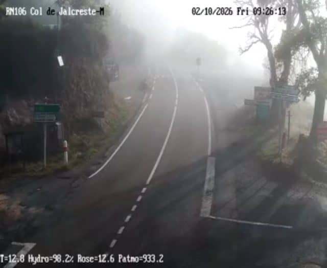
The stream is tied to a weather station, so the most useful moments are when cloud rolls in or lifts, when fog settles over the ridge, and when snow or rain changes the look of the plateau. Mornings often offer the clearest air, while afternoons can bring cloud build-up in warmer months. Because the view depends on weather, it may be grey or obscured for long periods.
Winters here are cold and snowy, and summers are cooler than the lowlands, which makes this area popular for walking in the warmer season. Conditions can change quickly at altitude, so check the live weather block on this page before travelling. Nearby cameras on VizCams cover other points in the region, and the regional total is 52 cameras.
Source: Station Prat Peyrot
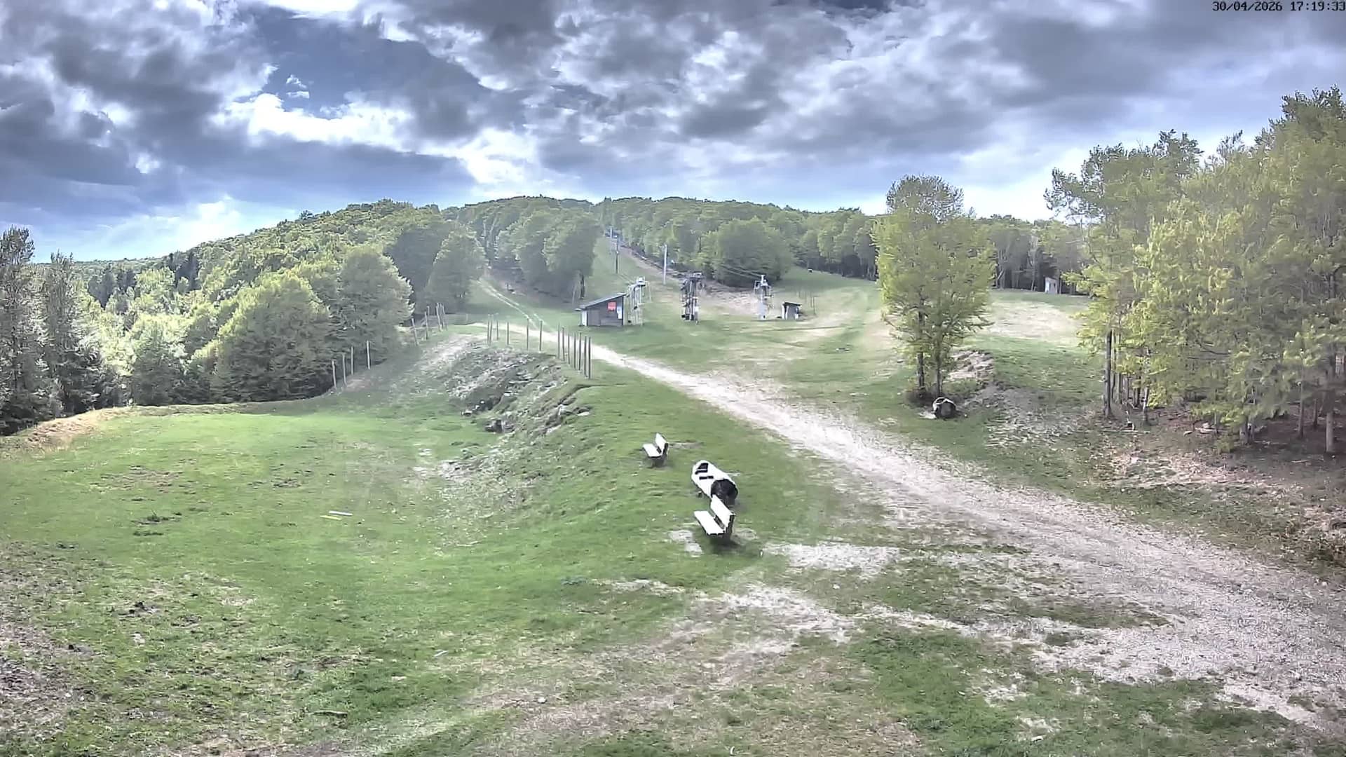
Occitania, France — 0 km
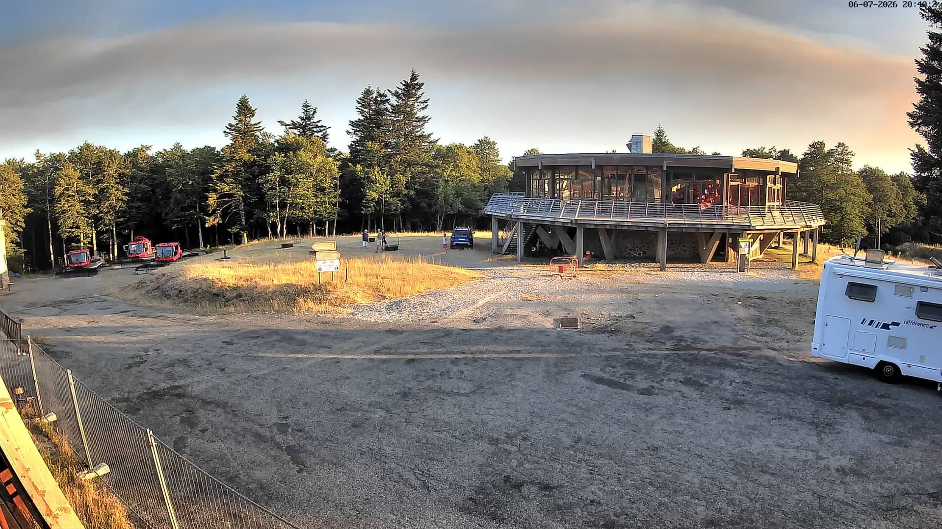
Occitania, France — 0 km
Occitania, France — 0 km
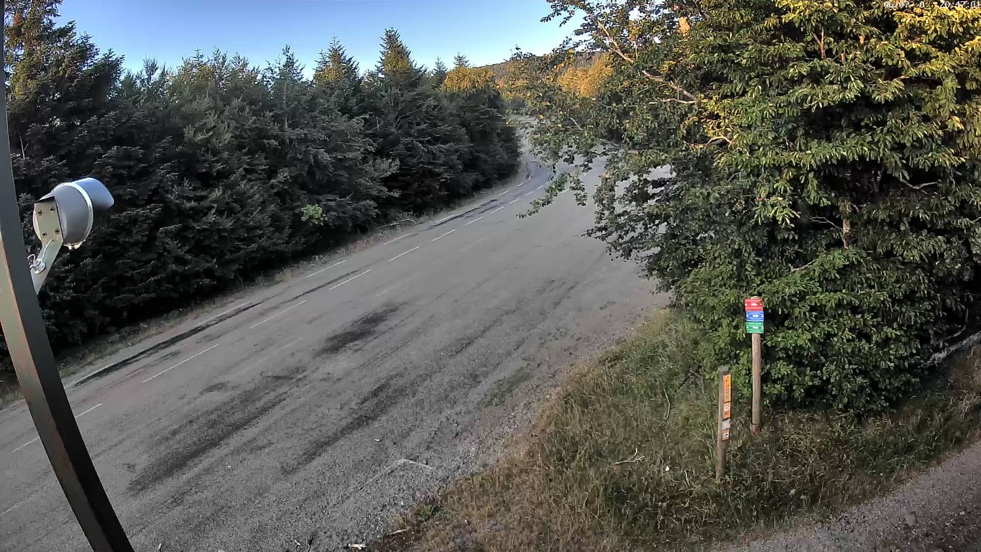
Occitania, France — 0.1 km
Occitania, France — 0.1 km
Occitania, France — 1.9 km
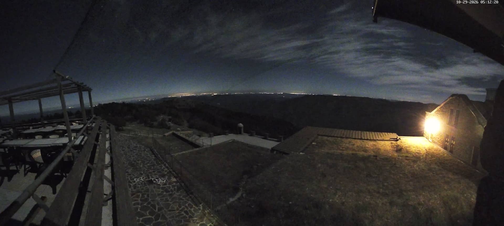
Occitania, France — 2.4 km
Occitania, France — 2.5 km
Occitania, France — 26 km
Occitania, France — 32 km
The current conditions and a three-day forecast are shown in the live weather block on this page. At this altitude they can differ noticeably from the valleys below.
The local time is shown live on this page and follows the French time zone, including daylight saving changes.
The camera is at the Aigoual altitude station above Prat Peyrot in the Cévennes, at about 1,416 metres. The map on this page shows its position.
Clear mornings and periods after rain are often the most informative, when visibility over the ridge is good. Check the live view and weather before you plan to look.
Partner links: we may earn a commission at no extra cost to you.