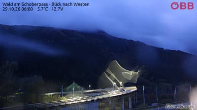
Wald am Schoberpass - Vue vers l'ouest
Styria, Austria — 14 km

Hohentauern - Panorama
🇦🇹 Styria · Austria — Altitude 1288 m
This live panorama looks out over the mountain village of Hohentauern in the Styrian Alps, at about 1,288 metres above sea level. It is useful for seeing how the valley and surrounding slopes look right now, before you plan a walk or a drive. The page also shows the local time and the weather outlook for the next three days.
Hohentauern is a small village in the Murau district of Styria, in the Austrian Alps. It sits high enough that the surroundings are shaped by forests, pastures and wide mountain ridges rather than by towns. The area is known mainly as a quiet base for outdoor life, away from the busier resorts of the region. Its character changes noticeably between the valley floor and the higher slopes.
Since this is a panorama, the view is best judged by its weather and light rather than by any single detail. Clear mornings tend to show the ridges sharply, while afternoons in summer can bring cloud build-up over the peaks. In winter, snow cover changes the scene a great deal, so the camera is useful for checking conditions. Depending on the view at the time, you may see changing cloud, fog in the valley or fresh snow on the slopes.
The region has a mountain climate, with cool summers and cold, snowy winters. Summer suits hiking and long views, while winter is the season for snow sports in the wider area. Nearby cameras on this site include Wald am Schoberpass to the west and Schneebergerkapelle in the Pölstal, which can help you compare conditions across the region. Check the live weather on this page before setting out, as mountain conditions can shift quickly.
Source: panomax.com
Styria, Austria — 14 km
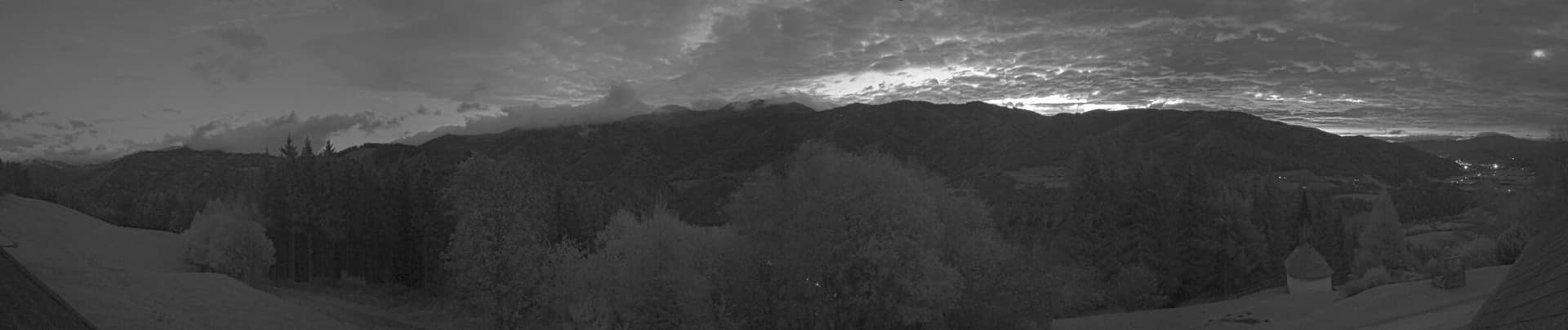
Styria, Austria — 17 km
Styria, Austria — 20 km

Styria, Austria — 20 km
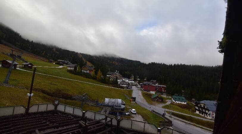
Styria, Austria — 21 km
Styria, Austria — 22 km

Styria, Austria — 24 km

Styria, Austria — 24 km

Styria, Austria — 25 km
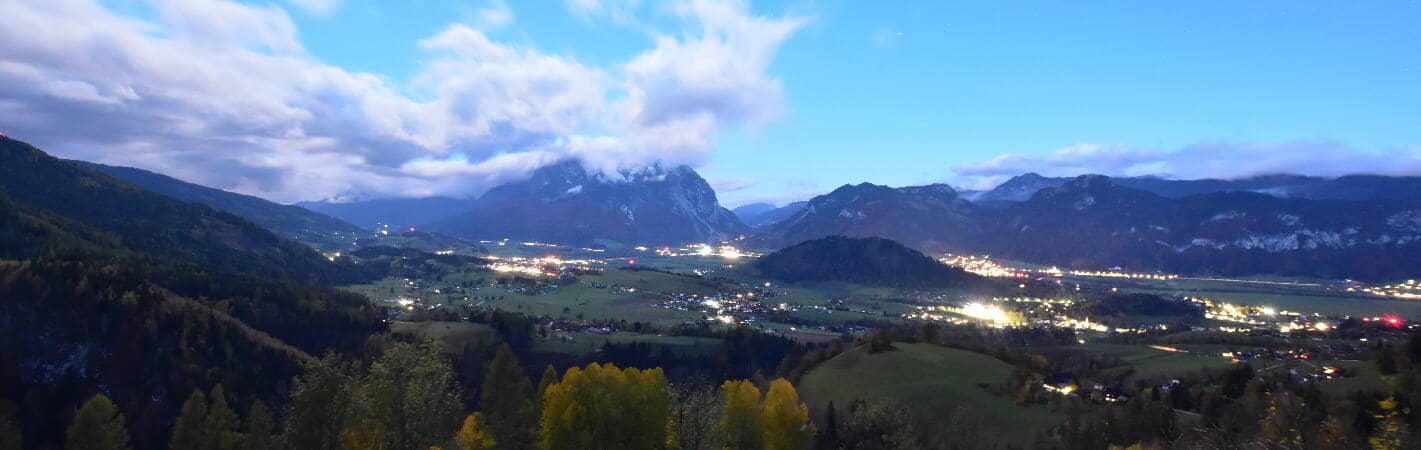
Styria, Austria — 25 km
The current conditions and a three-day forecast for Hohentauern are shown in the live weather block on this page. The values update on their own, so you do not need to reload for the latest reading.
The local time for Hohentauern is shown on this page and follows Austrian local time. It updates live alongside the camera view.
The camera is in the village of Hohentauern in the Styrian district of Murau, at about 1,288 metres altitude. The map on this page marks its position in the Austrian Alps.
Clear mornings and late afternoons usually give the most readable view of the ridges. Winter is worth checking for snow cover, while summer shows the green slopes at their fullest.
Partner links: we may earn a commission at no extra cost to you.