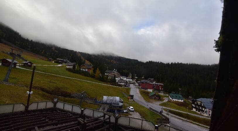
Planneralm - Seekaralm
Styria, Austria — 1 km

Donnersbach - Planneralm
🇦🇹 Styria · Austria — Altitude 1890 m
This live camera looks out over the Planneralm area above Donnersbach in the Styrian Alps. It is a useful check for anyone planning a mountain day, because high-altitude weather can change quickly. The live player, local time and forecast are all on this page.
Donnersbach is a small municipality in the Liezen district of Styria, set in the wide valleys of the Enns region. The Planneralm rises to the south and is one of the larger ski and hiking areas in the Schladming-Dachstein landscape. The setting is a mix of forested slopes, alpine pastures and limestone peaks, typical of the central Austrian Alps. Altitude here is about 1,890 metres, so the atmosphere feels distinctly mountainous even on a clear day.
The camera is mounted to show mountain terrain, so the picture is most rewarding in clear conditions when ridges and snow cover are visible. Morning often brings the crispest views before cloud builds over the peaks, and late afternoon can light the slopes warmly. Seasonal change is strong: winter shows snow and ski activity, while summer and autumn reveal greener pastures and changing forest colours. You may see cloud moving through the valleys, which is a good sign of how the weather is developing.
Winters are cold and snowy, while summers are mild and suitable for hiking, with afternoon thunderstorms possible. Spring and early autumn can be unsettled but quieter. The Planneralm is reached by road from the Enns valley, and nearby cameras such as Seekaralm, Riesneralm and the Grimming view at Aigen im Ennstal help you judge conditions across the wider area before you travel.
Source: panomax.com
Styria, Austria — 1 km
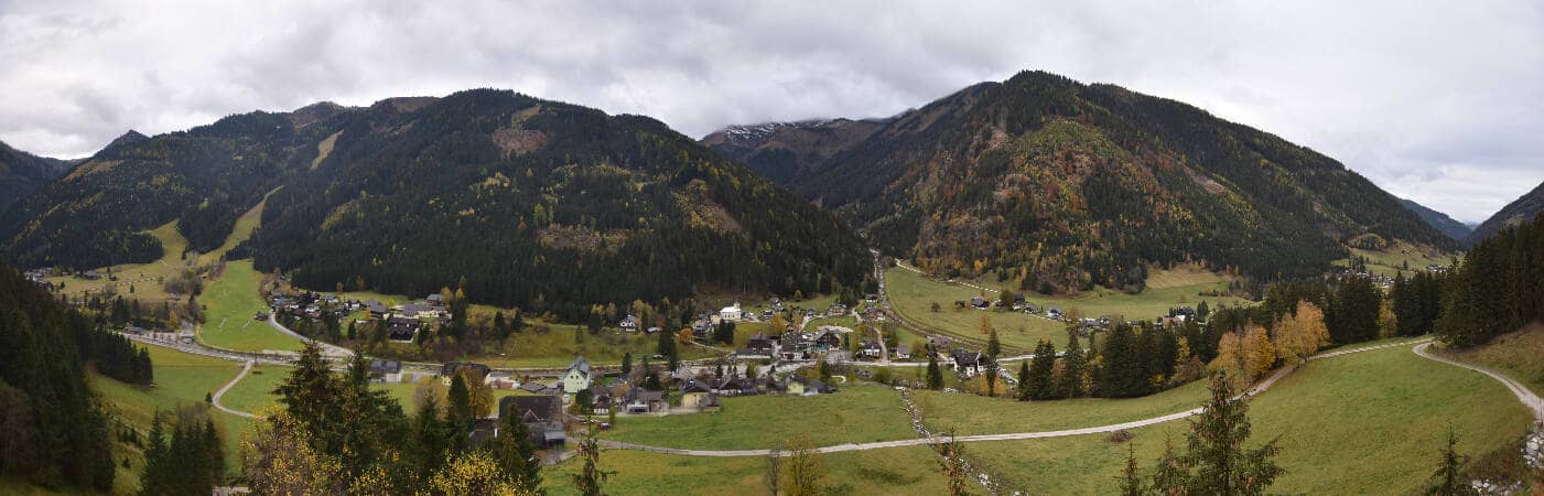
Styria, Austria — 7.4 km

Styria, Austria — 10 km
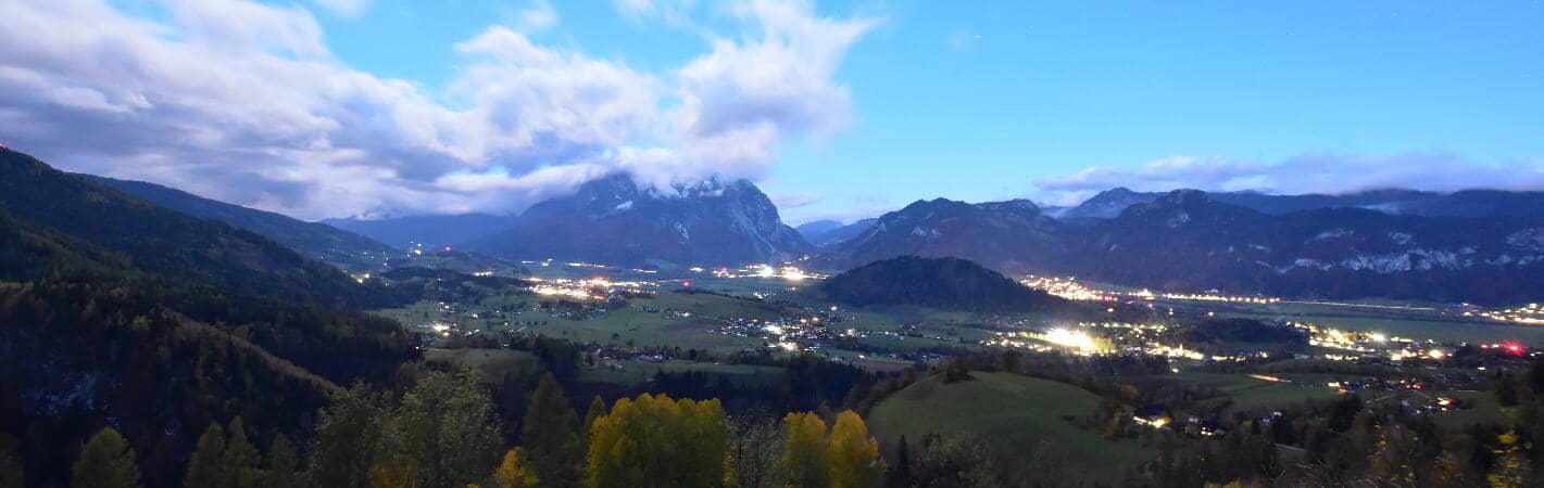
Styria, Austria — 12 km
Styria, Austria — 15 km
Styria, Austria — 18 km
Styria, Austria — 18 km
Styria, Austria — 20 km

Styria, Austria — 20 km
Styria, Austria — 20 km
The current conditions and a 3-day forecast are shown in the live weather block on this page. Because the site is at high altitude, it is worth checking before any trip.
The local time for Donnersbach is shown on this page and follows Austrian local time, which includes daylight saving changes.
The camera is above the village of Donnersbach in Styria, Austria, at about 1,890 metres altitude. The exact position is shown on the map on this page.
Clear mornings and late afternoons usually give the best visibility of the mountains. Winter shows snow conditions, while summer and autumn are better for seeing the landscape in colour.
Partner links: we may earn a commission at no extra cost to you.