Chobe - Hideaways Camp Kuzuma
Chobe District, Botswana — 541 km
Tembo Plains - Zambezi River
🇿🇼 Mashonaland West · Zimbabwe — Altitude 348 m
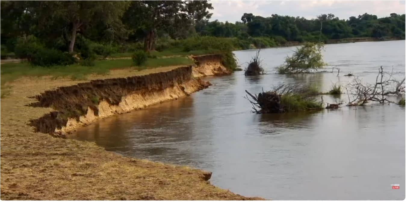
This live camera looks out over the Zambezi River near Tembo Plains in Mashonaland West, Zimbabwe. It is a useful window for anyone curious about the river's moods, from calm mornings to the warm, busy hours of the afternoon. The live stream is provided by its owner, and this page adds local time and weather for context.
The Zambezi is one of Africa's great rivers, flowing across several countries before reaching the Indian Ocean. Tembo Plains sits in Mashonaland West, a region of gentle hills, farmland and open savanna in north-central Zimbabwe. Rivers in this part of the country shape daily life, bringing water, wildlife and a slower rhythm to the landscape around them.
The title points to a river view, so the scene is most likely dominated by water, riverbanks and the sky. Depending on the view, you may notice changing light at sunrise and sunset, which often gives the water a warm glow. Cloud build-up during the hot season can also make for dramatic scenes. Conditions shown on screen will vary with the weather and time of year.
Zimbabwe has a subtropical climate with a rainy season from roughly November to March and a drier, cooler winter from May to August. The stretch between May and September is generally the most comfortable time to be outdoors. Check the weather block on this page before planning anything, as conditions can shift quickly in the wet months.
Source: Africamvideos
Chobe District, Botswana — 541 km
Chobe District, Botswana — 548 km
Central Region, Malawi — 564 km
Erongo, Namibia — 584 km
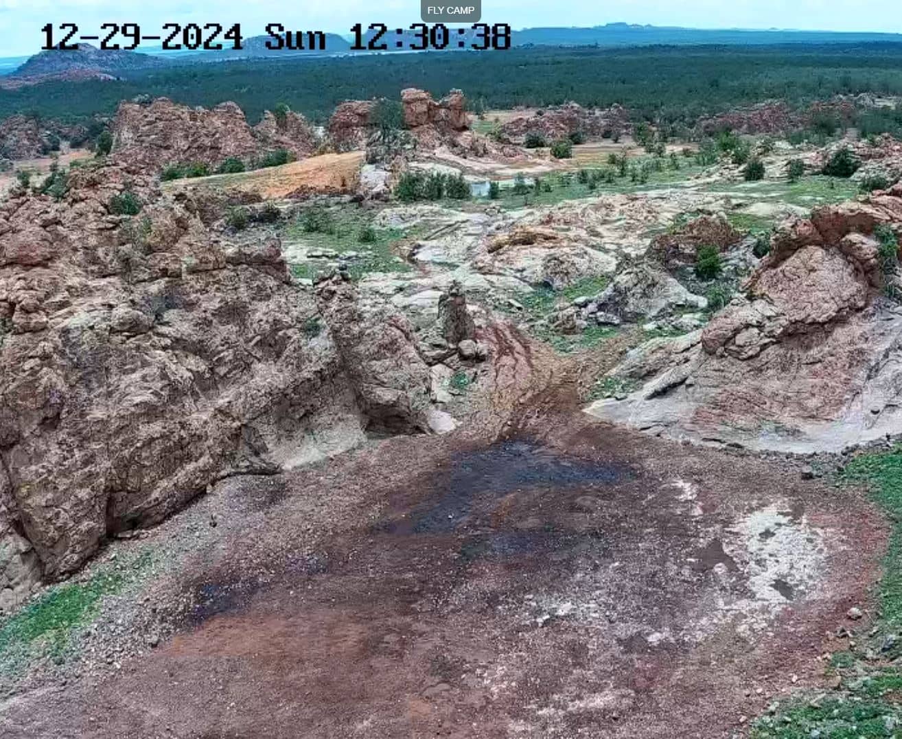
Matabeleland South, Zimbabwe — 722 km

Mpumalanga, South Africa — 956 km
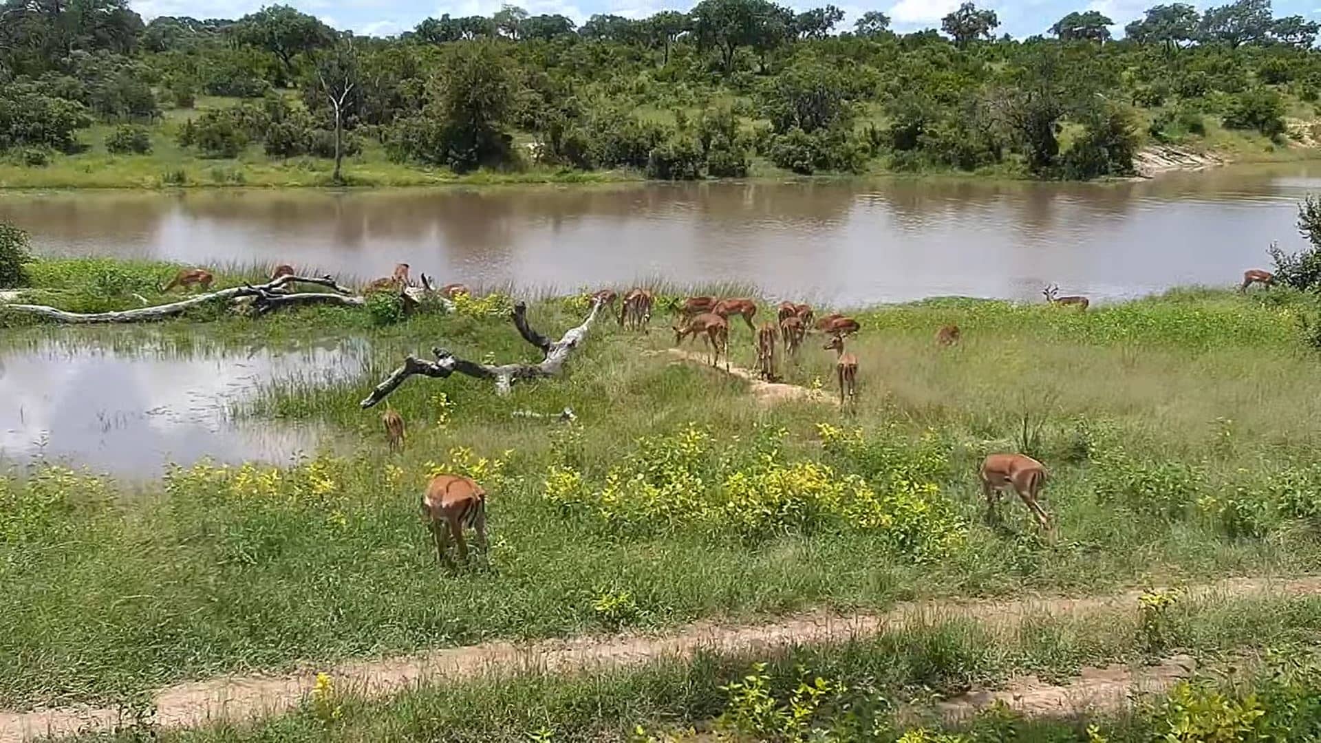
Limpopo, South Africa — 1025 km
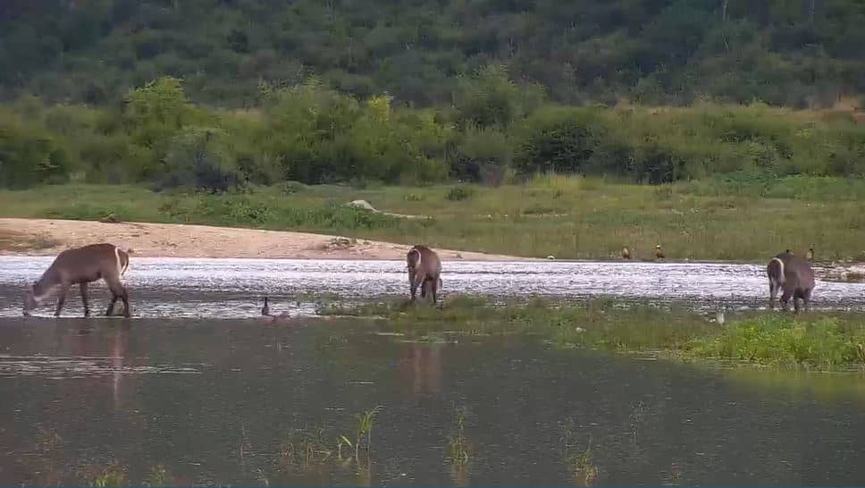
North West, South Africa — 1070 km
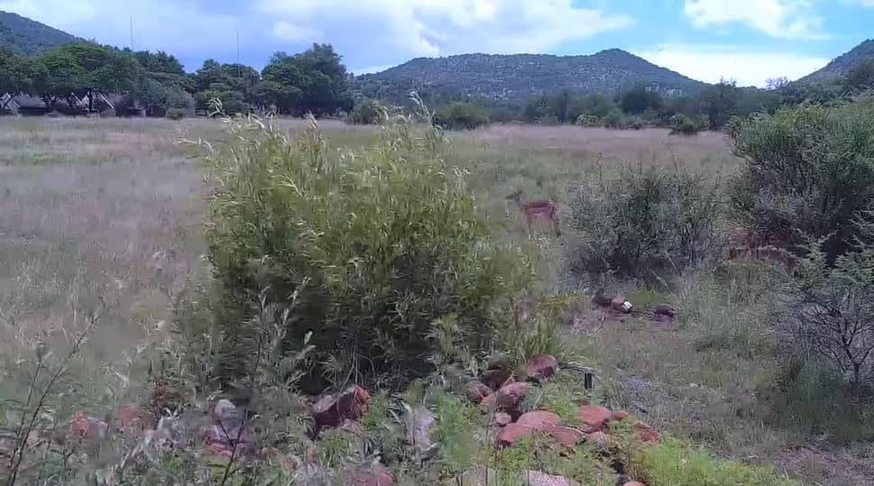
North West, South Africa — 1108 km
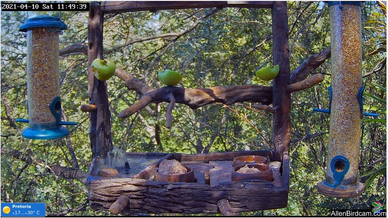
Gauteng, South Africa — 1133 km
The current weather and a three-day forecast are shown in the live block on this page. Conditions update automatically, so you can check them alongside the camera view.
The local time for Tembo Plains is displayed on this page and updates live. It follows Central Africa time, which is used across much of southern Africa.
The camera is located near Tembo Plains in Mashonaland West, Zimbabwe, at roughly 348 metres above sea level. The map on this page shows the approximate position.
Early morning and late afternoon usually bring the softest light, while the dry season from May to August tends to offer clearer skies. Weather can change the view considerably, so the live stream is worth checking at different times.
Partner links: we may earn a commission at no extra cost to you.