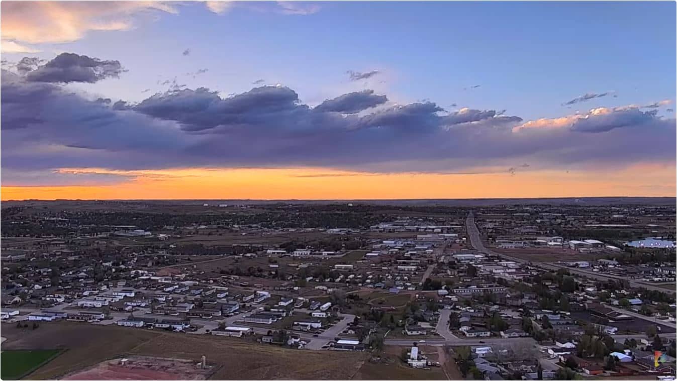
Gillette
Wyoming, United States — 4.6 km

Gillette - Ranch Our Wyoming Life
🇺🇸 Wyoming · United States — Altitude 1380 m
This live view shows a working ranch set in the high plains of northeastern Wyoming, streamed by Our Wyoming Life. It is a good way to see how the open country looks and changes through the day without leaving your desk. The page also gives you the local time and the current weather for Gillette.
Gillette sits at roughly 1,380 metres above sea level in Campbell County, on the eastern edge of the Powder River Basin. The town is widely known as a center of coal mining and energy production, and its economy is closely tied to ranching and the wide grasslands around it. The landscape is broad and open, with rolling prairie, rock outcrops and distant hills that give the sky a large presence. Because the land is so flat and open, weather moves across it quickly and is easy to follow from a camera set in open country.
The camera is titled after a ranch, so it is best understood as a view of working rural land rather than a city street. Depending on the angle, you may see grazing ground, fencing, outbuildings and the big sky over the plains. Early morning and late afternoon usually bring the most useful light for judging conditions, and the seasons change the view a great deal, from green summer grass to snow-dusted winter fields. Check the live stream and the weather block together to match what you see with what is happening. The stream is provided by its owner, and quality and framing may change over time.
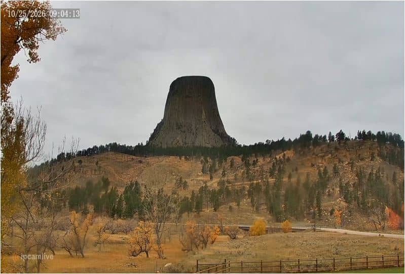
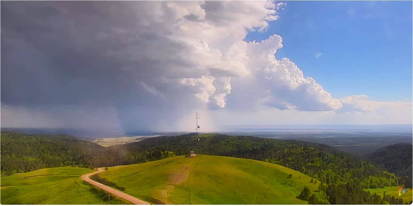
Gillette has a semi-arid, continental climate with cold winters, warm summers and noticeable wind throughout the year. Late spring and early autumn are generally the most comfortable seasons for visiting the region. Several other cameras are listed nearby, including a view from Devils Tower and a hilltop view near Sundance, which give a sense of the wider state. Gillette itself is the closest of them and is the main base for exploring the area.
Source: Our Wyoming Life
Wyoming, United States — 4.6 km
Wyoming, United States — 72 km
Wyoming, United States — 87 km
Wyoming, United States — 128 km
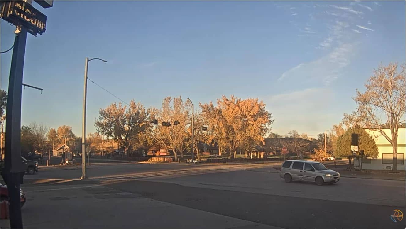
Montana, United States — 128 km
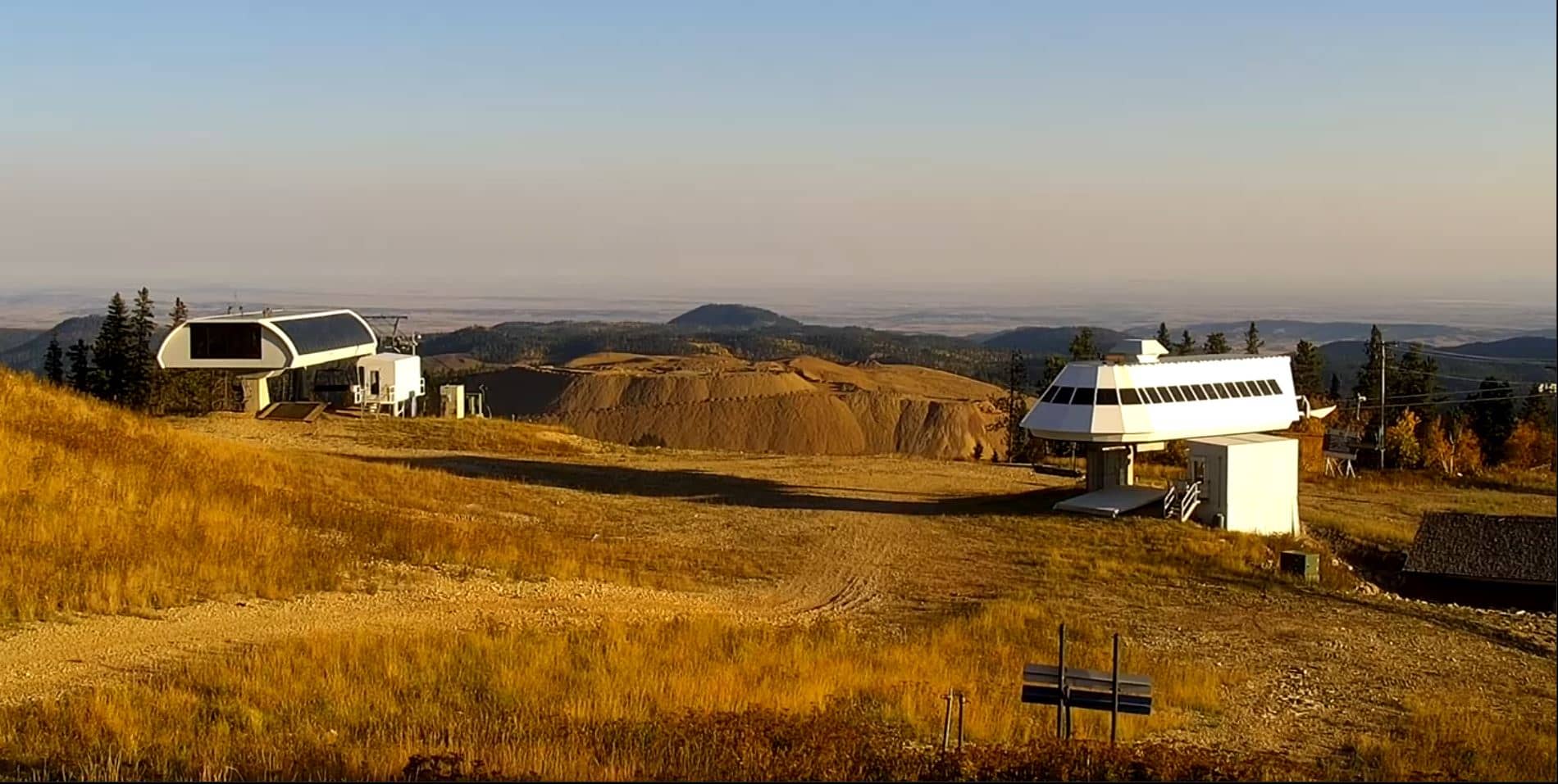
South Dakota, United States — 132 km
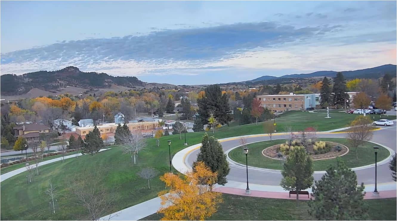
South Dakota, United States — 132 km
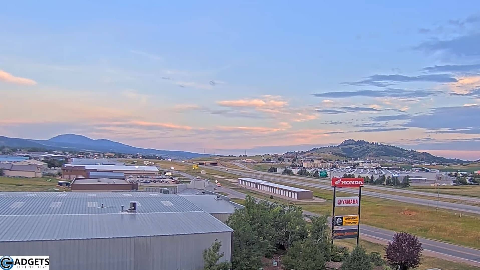
South Dakota, United States — 134 km
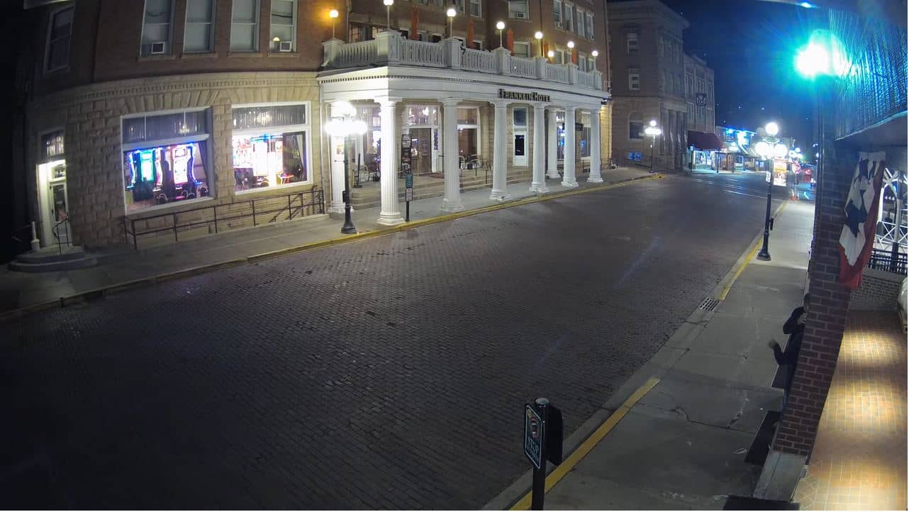
South Dakota, United States — 141 km
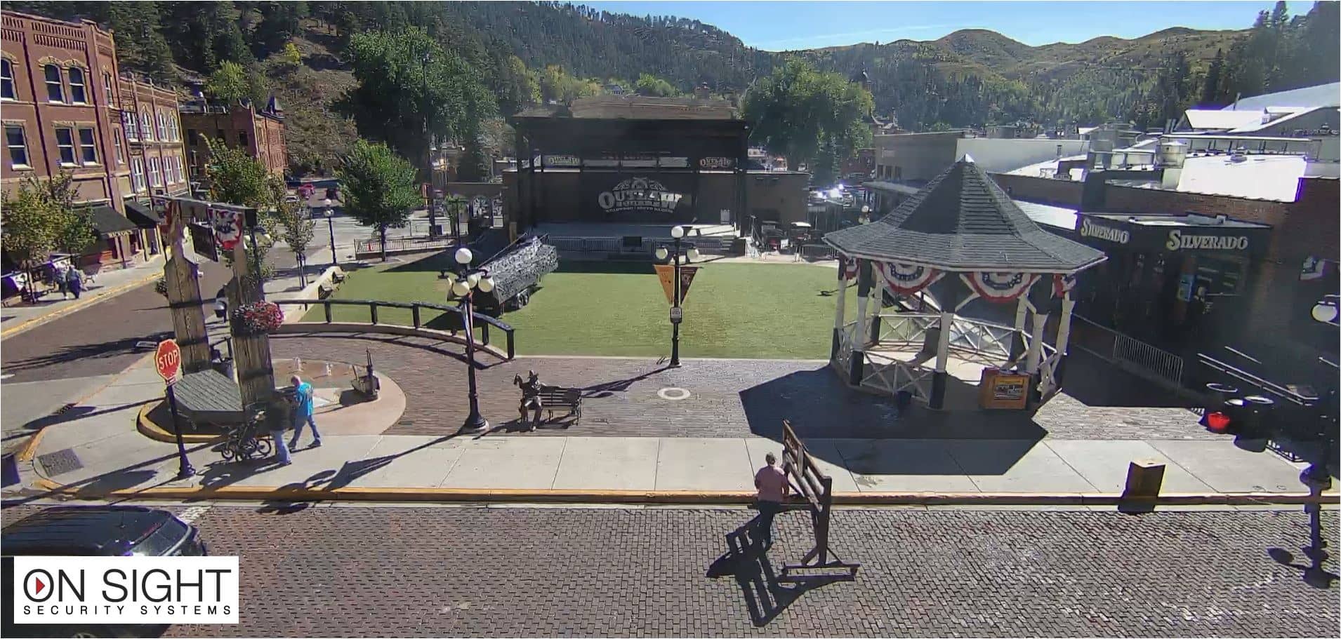
South Dakota, United States — 141 km
The current conditions and a three-day forecast for Gillette are shown in the live weather block on this page, updated automatically alongside the camera.
The local time for Gillette, Wyoming, is displayed on this page and follows the Mountain time zone used across the region.
The camera is at a ranch near Gillette in northeastern Wyoming, at about 44.29 degrees north and 105.50 degrees west, and the map on this page marks its position.
Early morning and late afternoon often give the clearest light and the most useful view of the land, while the season and weather will change what is visible.
Partner links: we may earn a commission at no extra cost to you.