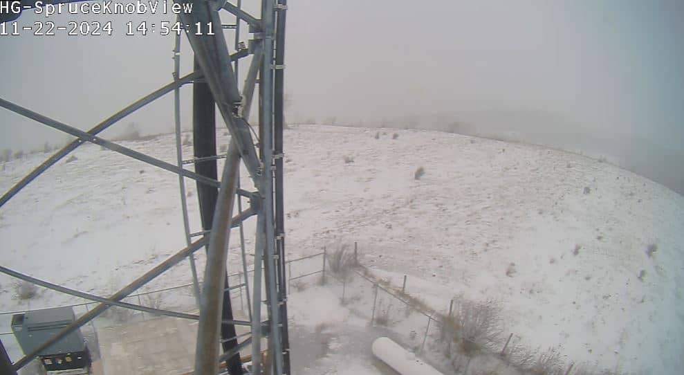
Spruce Mountain
West Virginia, United States — 14 km
🇺🇸 West Virginia · United States — Altitude 885 m
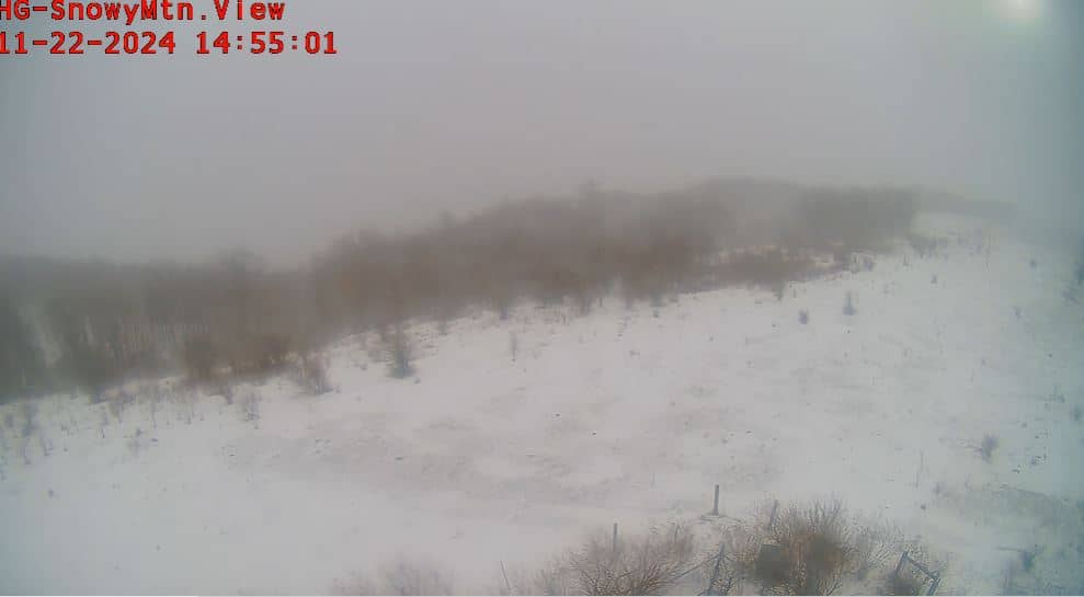
This live camera looks out over Snowy Mountain in the Allegheny Highlands of West Virginia, at about 885 metres above sea level. It is a useful way to check how the mountain looks right now and whether conditions are clear or cloudy before you plan a trip.
Snowy Mountain sits in the forested ridges of central West Virginia, part of the wider Appalachian chain that runs down the eastern United States. The region is known for dense hardwood and spruce woodland, rolling ridgelines and a quiet, rural character. Views from elevated points like this one usually take in long, layered ridges that change colour dramatically from one season to the next.
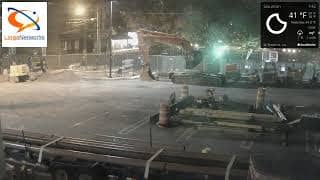
Depending on the view, you may see the forest canopy, open slopes, the sky over the ridges and changing light through the day. Morning and late afternoon often bring the most contrast to the hills, while autumn colours and winter snow cover tend to make the scene most striking. Fog or low cloud can settle in the valleys, so the live feed is worth checking before you visit.
West Virginia has warm, humid summers and cold winters, with the higher ground generally cooler and wetter than the lowlands. Spring and early autumn are often the most comfortable seasons for walking. Nearby camera views include Spruce Mountain, Harman, Snowshoe and the Staunton view across the state line, which help you compare conditions across the region.
Source: Snowy Mountain Webcam
West Virginia, United States — 14 km
West Virginia, United States — 38 km
West Virginia, United States — 46 km
West Virginia, United States — 46 km
West Virginia, United States — 46 km

West Virginia, United States — 50 km
West Virginia, United States — 51 km
West Virginia, United States — 52 km
Virginia, United States — 61 km

Virginia, United States — 70 km
The current conditions and the three-day forecast are shown in the weather block on this page, updated for the location. Check it before heading out, as mountain weather can change quickly.
The local time for this camera is shown on the page and follows the Eastern time zone used in this part of West Virginia.
The camera is located in central West Virginia, at roughly 885 metres elevation, and its position is marked on the map on this page.
Daylight hours give the clearest view. Autumn and winter often make the ridges most visible, while summer haze and fog can reduce visibility.
Partner links: we may earn a commission at no extra cost to you.