Davis - Timberline Mountain - Summit
West Virginia, United States — 1 km
Davis - Timberline Mountain
🇺🇸 West Virginia · United States — Altitude 990 m
This live view looks toward Timberline Mountain above the town of Davis in the high country of north-central West Virginia. It suits anyone planning a mountain trip or curious how the Appalachian ridges look right now. The page also shows current conditions for the area so you can judge what to expect before you go.
Davis sits in Tucker County at roughly 990 metres above sea level, one of the highest towns in the eastern United States. The surrounding Allegheny Mountains are forested with spruce, hardwoods and open meadows, and the nearby Canaan Valley is known for its wetlands and wide grassy basin. The area has a quiet, small-town character shaped by outdoor recreation and winter sports.
The camera is aimed at a mountain setting, so the view is most useful for judging ridgeline cloud, fog, snow cover and changing leaf colour through the seasons. Mountain views like this often change quickly with the weather, so morning and late afternoon light can be especially clear. Conditions visible on the stream depend on the current weather and the season.
Summers are mild and cool compared with lowland Virginia, while winters are cold and snowy, and the higher elevations can see early autumn frosts. Spring and early autumn are popular for hiking and scenic drives. Nearby cameras on this site include the Timberline Summit view about 1 km away, the Canaan Valley Resort view about 6 km away, and cameras at Harman and Spruce Mountain.
Source: resortcams.com
West Virginia, United States — 1 km

West Virginia, United States — 6.1 km
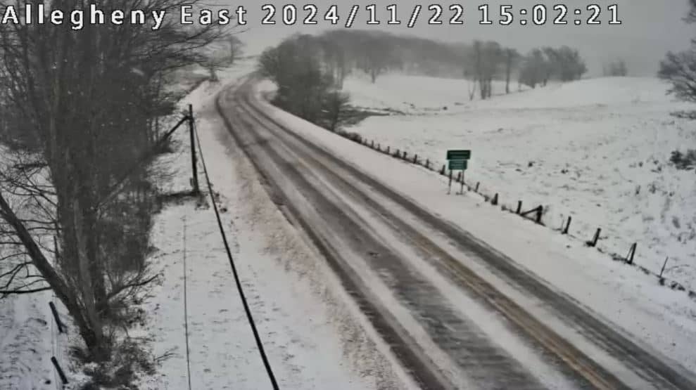
West Virginia, United States — 17 km
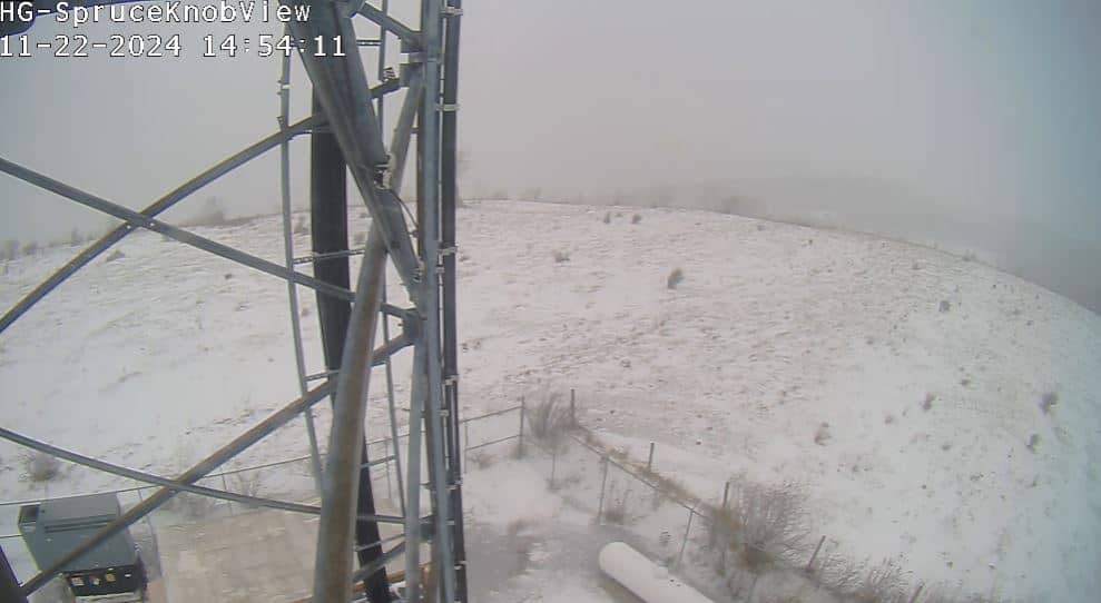
West Virginia, United States — 40 km
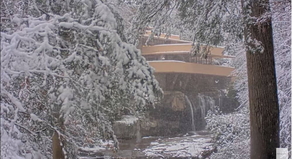
Maryland, United States — 52 km
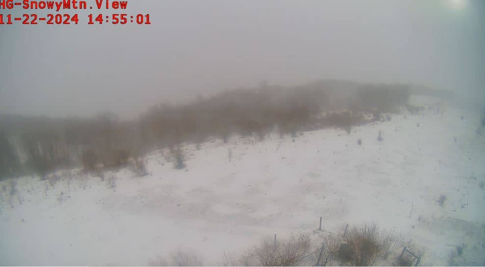
West Virginia, United States — 52 km

Maryland, United States — 57 km

Maryland, United States — 57 km

Maryland, United States — 57 km

Maryland, United States — 58 km
The current conditions and a three-day forecast for Davis are shown in the weather block on this page. Mountain weather can change faster than in lowland areas, so check it before you plan a visit.
The local time for Davis is shown on this page and follows Eastern Time in the United States. The clock updates so you can compare it with your own time zone.
The camera is located near Davis in Tucker County, West Virginia, at about 990 metres altitude. The map on this page marks its position in the Allegheny Mountains.
Clear mornings and late afternoons often give the most detail, and autumn colour and winter snow change the view noticeably. Weather decides how much of the ridgeline is visible on any given day.
Partner links: we may earn a commission at no extra cost to you.