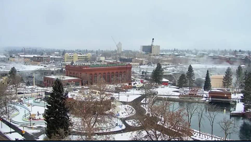
Spokane - Falls
Washington, United States — 93 km
Ritzville
🇺🇸 Washington · United States — Altitude 553 m
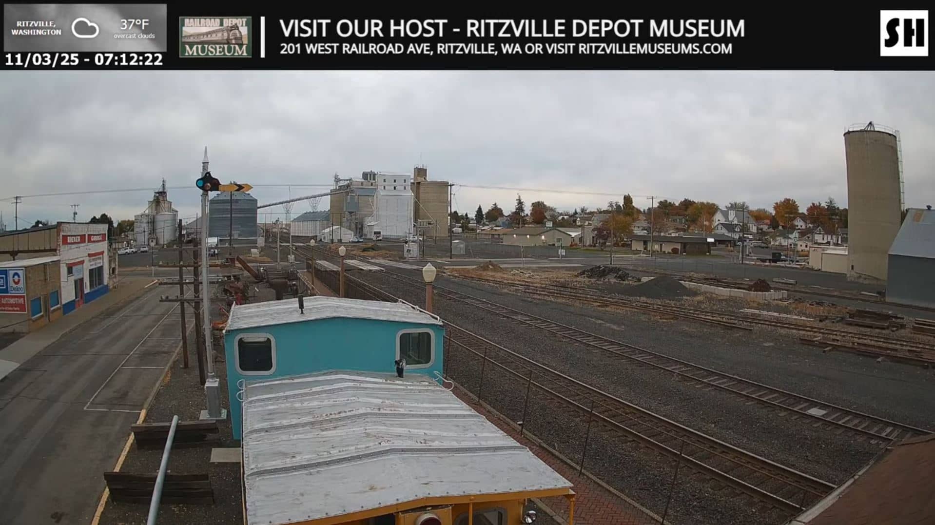
This live stream looks out over a stretch of Ritzville, a small town on the wheat plateau of eastern Washington. The feed is useful if you want to see current conditions in a quiet agricultural town and follow the pace of rail traffic in the area. The page adds local time and a weather outlook beside the video.
Ritzville sits on the Columbia Plateau, a broad, open region of rolling wheat fields and dry grassland east of the Cascade Range. The town grew around the railroad and grain trade, and that heritage still shapes its landscape of elevators, tracks and wide skies. Its elevation of roughly 550 metres means the air is dry and the horizon is often unobstructed, giving the surrounding countryside a spacious, quiet character.
The camera is listed under railroad views, so the most rewarding moments are usually when trains pass through town, which can happen at any hour. Depending on the view, you may also see grain facilities, road traffic and changes in the sky over the plateau. Early morning and late afternoon light tends to bring out the contours of the fields, and winter snow or summer haze can change the scene noticeably.
The plateau has a semi-arid climate with hot, dry summers and cold winters that bring occasional snow and freezing fog. Spring and early autumn are generally the most comfortable seasons for travel. Spokane, the largest city in the region, lies about 93 kilometres away and is the usual gateway, and other cameras in the area, including Ellensburg and Leavenworth, can be compared on the same page.
Source: SteelHighwayRailcams
Washington, United States — 93 km
Washington, United States — 150 km
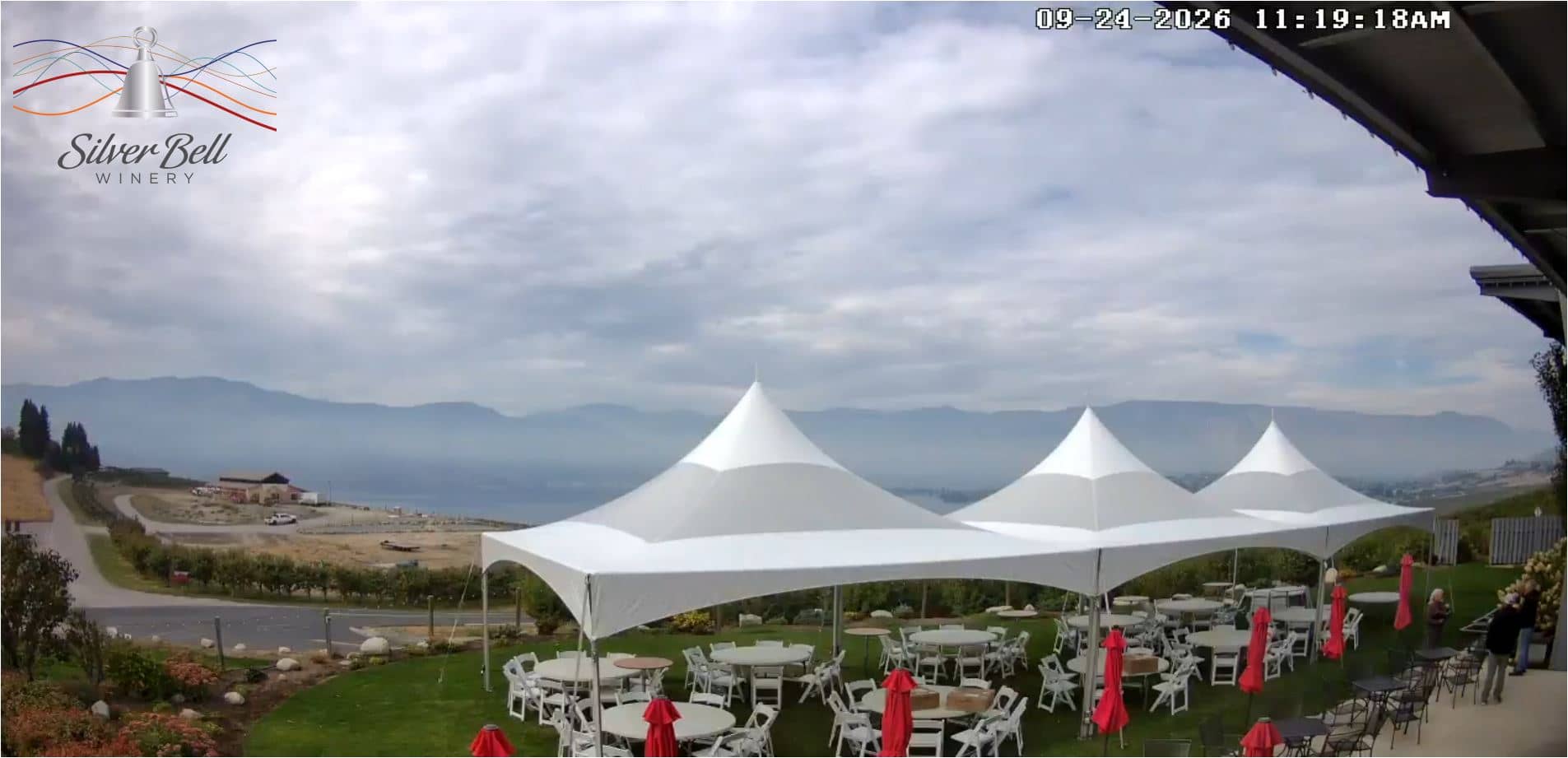
Washington, United States — 153 km

Oregon, United States — 159 km
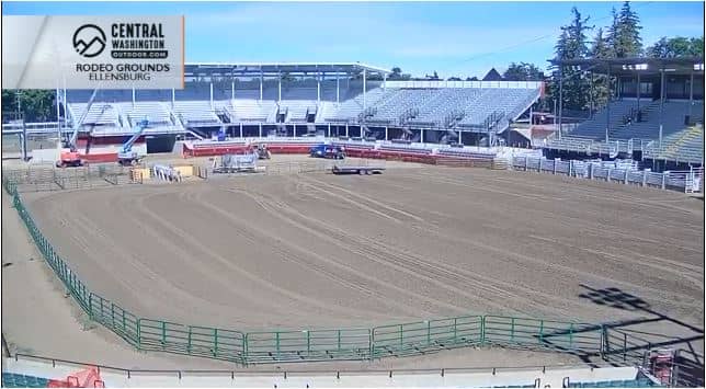
Washington, United States — 164 km
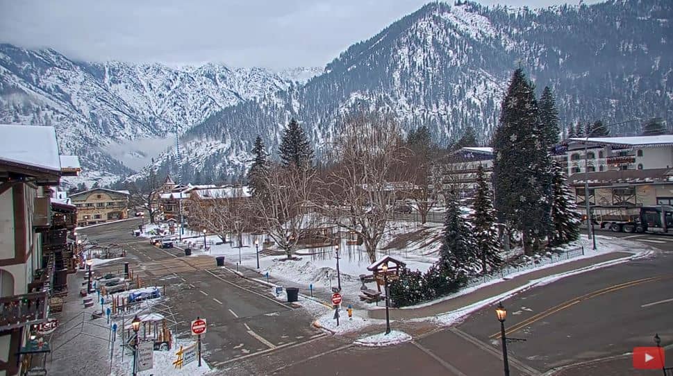
Washington, United States — 181 km
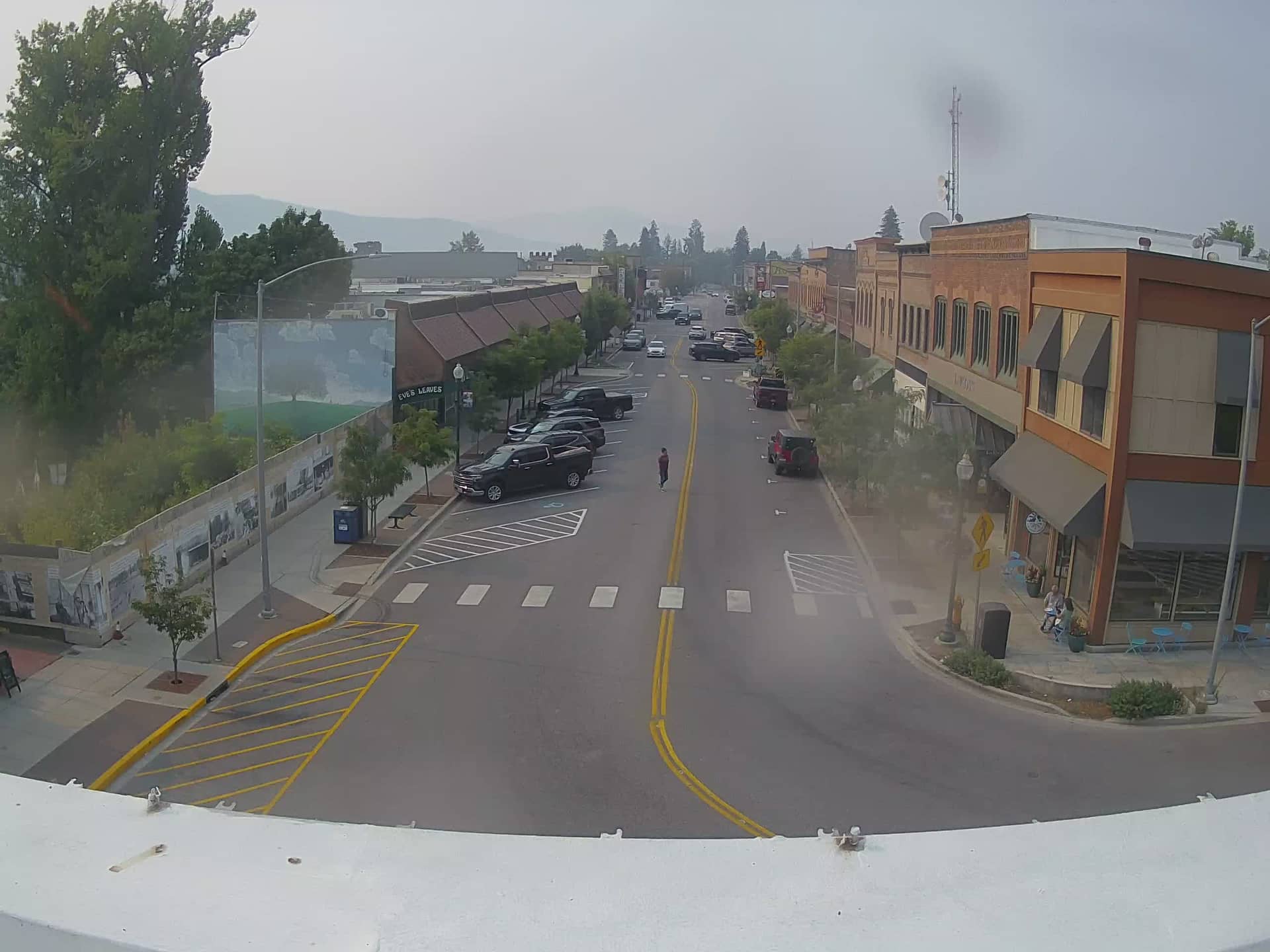
Idaho, United States — 187 km
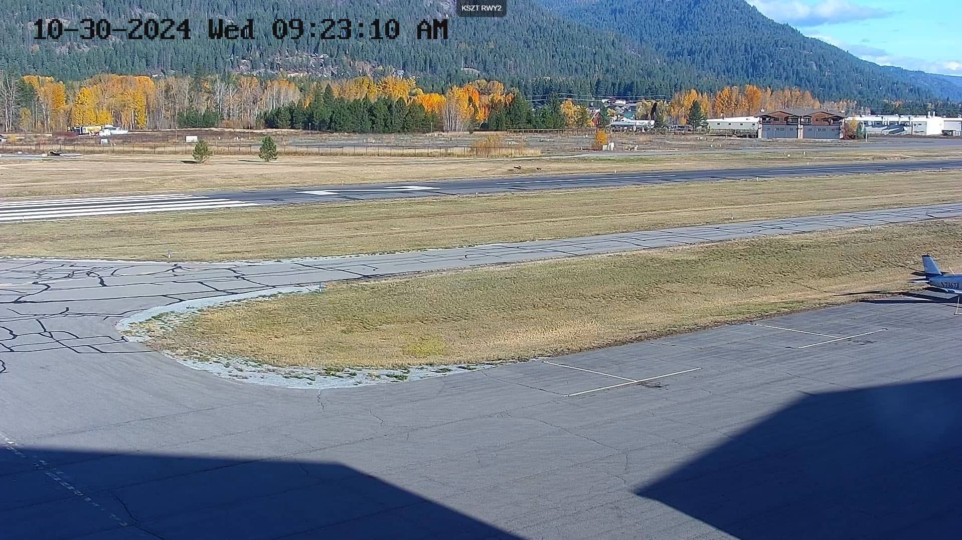
Idaho, United States — 188 km
Idaho, United States — 190 km
Idaho, United States — 190 km
The current conditions and three-day forecast are shown in the weather block on this page, updated alongside the live stream. Local weather can change quickly on the plateau, so check it before you plan a visit.
The local time block on this page shows the current time in Ritzville, which follows the Pacific time zone used across eastern Washington.
The camera is in Ritzville, in Washington state, United States, at an elevation of about 553 metres. The map on this page marks the town and its position on the Columbia Plateau.
Daylight hours give the clearest view, and trains can pass at any time, so the feed is worth checking through the day. Spring and autumn often offer the most pleasant conditions for watching the landscape.
Partner links: we may earn a commission at no extra cost to you.