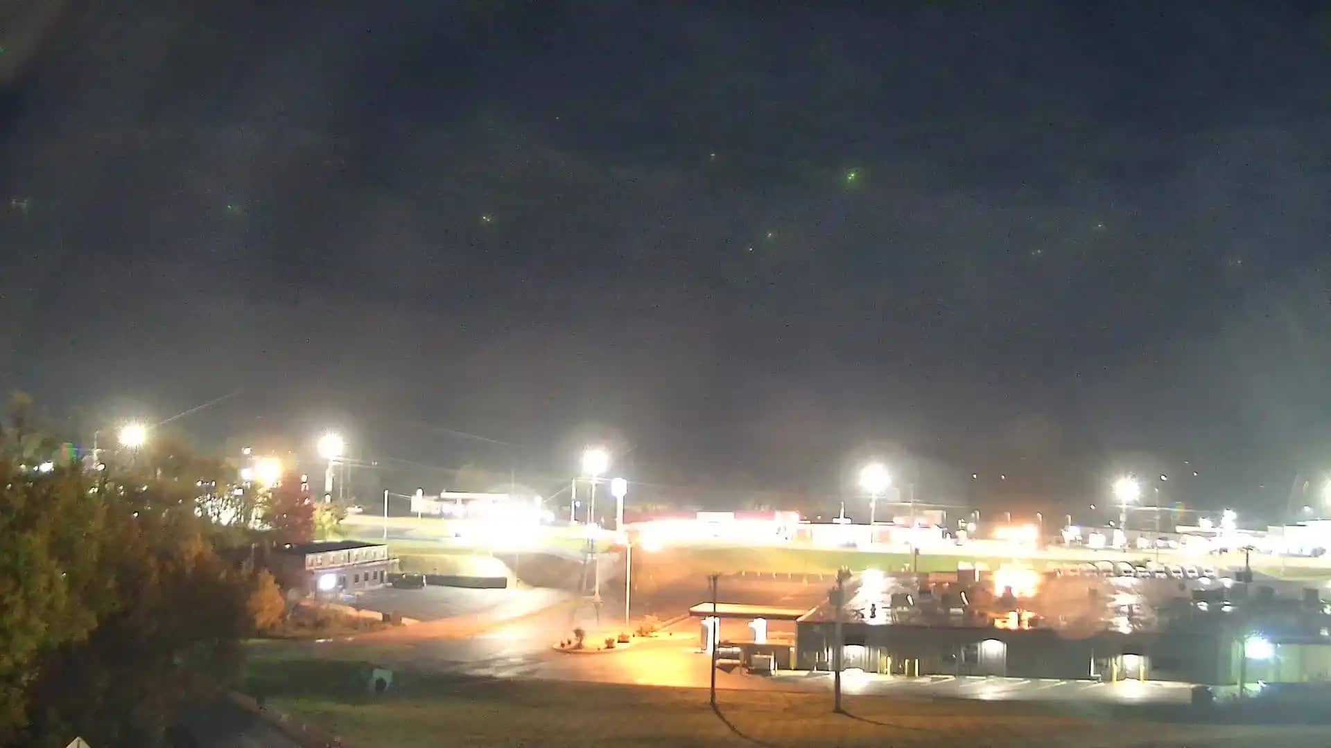
Greeneville
Tennessee, United States — 3.8 km
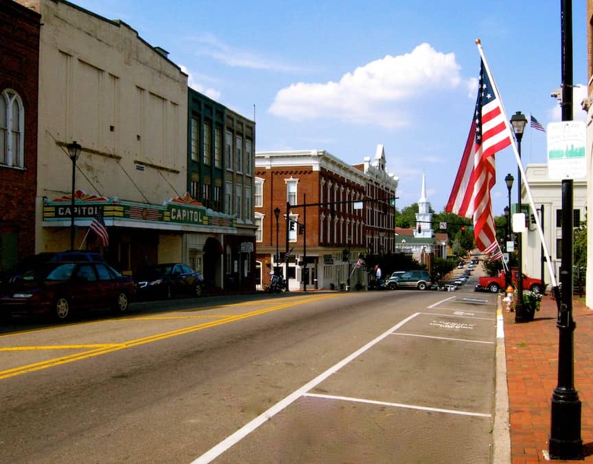
Greeneville - TN
🇺🇸 Tennessee · United States — Altitude 463 m
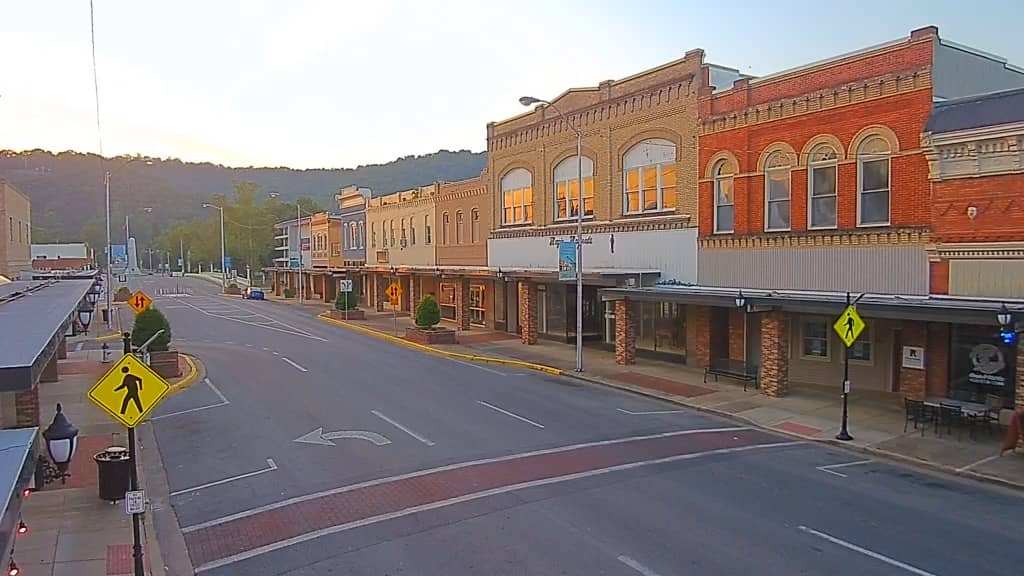
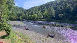
This live camera looks out over Greeneville, a small town in the Appalachian foothills of East Tennessee. It is useful for checking how the town looks right now and what the sky is doing before you travel. The page also shows local time and a forecast for the coming days.
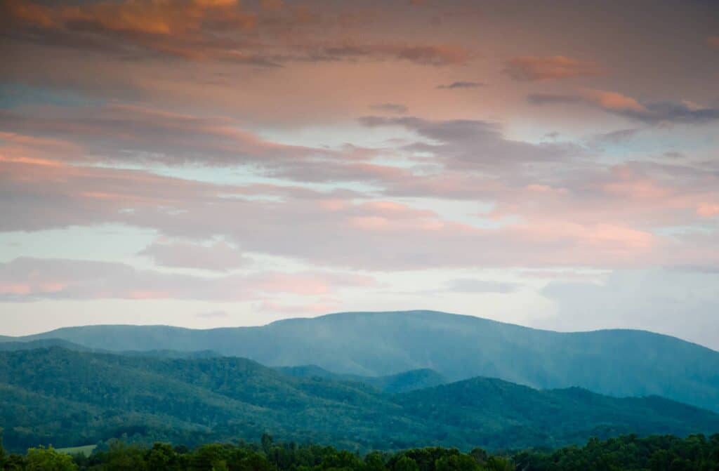
Greeneville lies in the Nolichucky Valley, surrounded by the ridges of the Appalachians. It is best known as the hometown of Andrew Johnson, the 17th President of the United States, and its historic downtown reflects the architecture of a 19th century Tennessee county seat. The surrounding countryside is green, rolling and shaped by farmland and forest, giving the town a calm, rural character.
The view is a live feed from the Greeneville area, and the image is best judged in daylight when colours and details are clearest. Morning and late afternoon often bring soft light across the hills, while summer evenings can show clouds building over the ridges. Depending on the view, you may notice changing foliage in autumn and fog lifting from the valley on cool mornings.
Greeneville has a humid subtropical climate with hot, humid summers and mild winters, and spring and autumn are generally the most comfortable seasons for visiting. Thunderstorms are common in summer. Nearby cameras on this page include Jonesborough, Mars Hill and Morristown, which can help you compare conditions across the region.
Source: resortcams.com
Tennessee, United States — 3.8 km
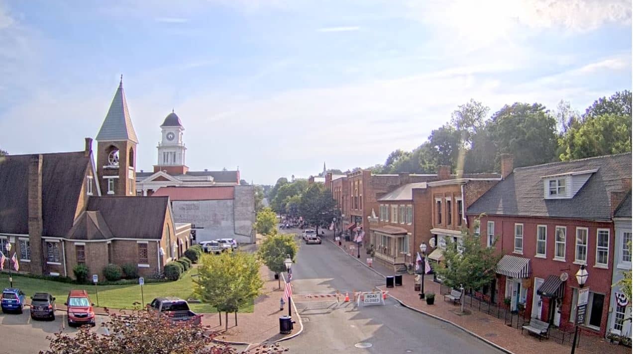
Tennessee, United States — 34 km
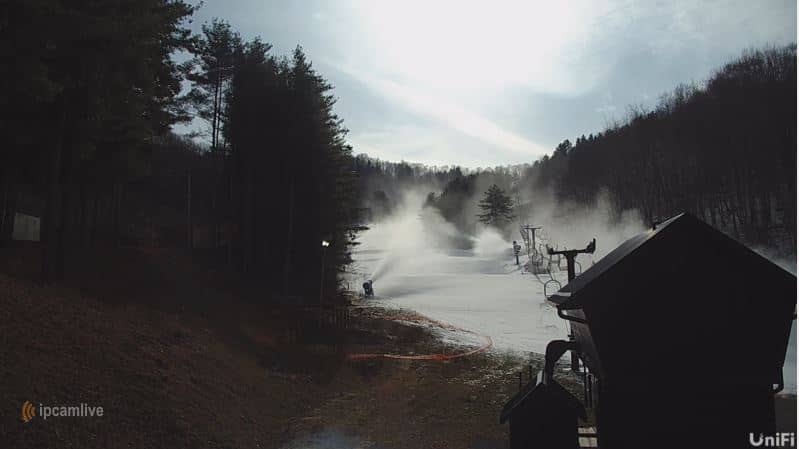
North Carolina, United States — 37 km

Tennessee, United States — 42 km
Tennessee, United States — 43 km
Tennessee, United States — 44 km
Tennessee, United States — 45 km
Tennessee, United States — 46 km

Tennessee, United States — 47 km
Tennessee, United States — 48 km
The current conditions and the 3-day forecast for Greeneville are shown in the live weather block on this page. They update with the page, so you can check them before deciding when to go out.
The local time for Greeneville is displayed on this page, following Eastern Time in the United States. The clock is shown alongside the live camera view.
The camera is in Greeneville, Tennessee, at about 36.16 degrees north and 82.83 degrees west, at an elevation of around 463 metres. The map on this page shows its position in East Tennessee.
Daylight hours give the clearest picture, and spring and autumn often provide the most pleasant scenery. Summer afternoons can bring storm clouds, which are worth watching if you are interested in weather.
Partner links: we may earn a commission at no extra cost to you.