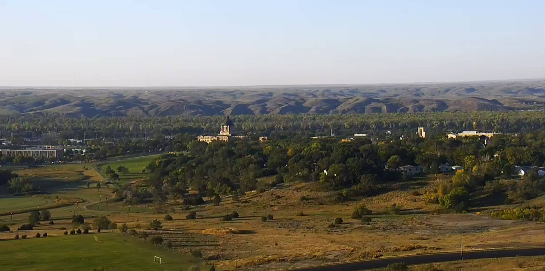
Pierre
South Dakota, United States — 106 km
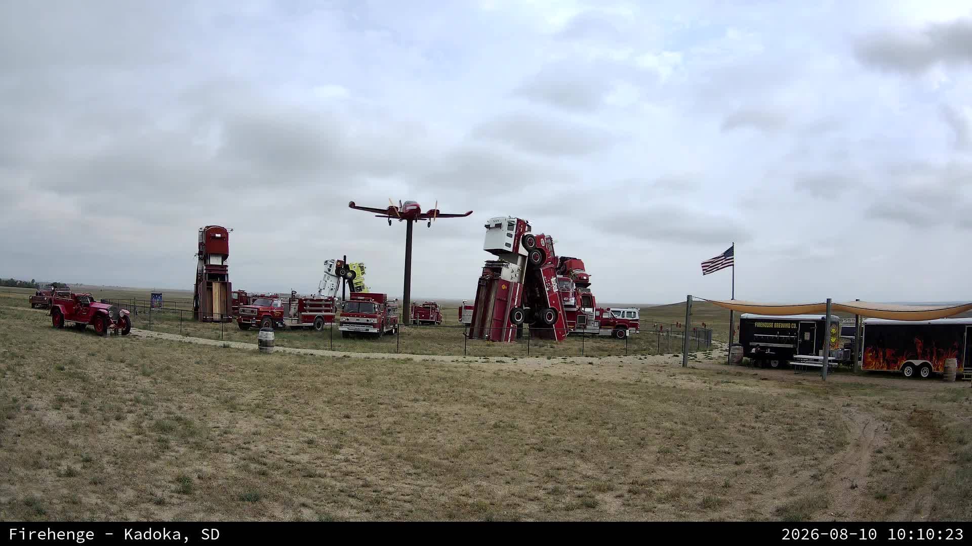
Kadoka - Firehenge
🇺🇸 South Dakota · United States — Altitude 733 m
This live camera looks out over Firehenge in Kadoka, a small town in west-central South Dakota. The feed is a useful window onto the open prairie of the Great Plains, where the sky and weather often dominate the view. Check it to see current conditions before you travel or simply to watch the land change through the day.
Kadoka sits on the eastern edge of the Badlands region in Jackson County, along the route of Interstate 90. The surrounding country is rolling grassland, ranch land and wide horizons, with the Badlands and the Black Hills within driving distance to the south and west. Life here follows the seasons of farming and cattle, and the town is a common stop for travellers crossing the state. The camera lets you see that open landscape without leaving home.
Because the title names Firehenge rather than a single view, the frame likely shows a local landmark or open ground, but the exact details depend on the view and are best confirmed on the live feed. The prairie is most rewarding at dawn and dusk, when light moves low across the grass, and during summer thunderstorms that build quickly over the plains. Winter brings snow and wind, which can change the scene dramatically from one day to the next.
South Dakota has a continental climate with hot summers, cold winters and changeable spring weather. Summer is typically warm and humid with frequent storms, while winter can bring sub-zero temperatures and blowing snow. The best time to visit in person is late spring through early autumn. Pierre and Rapid City, both about 100 to 140 kilometres away, are the nearest larger cameras to compare conditions across the region.
Source: click2stream.com
South Dakota, United States — 106 km
South Dakota, United States — 110 km
South Dakota, United States — 139 km

South Dakota, United States — 141 km
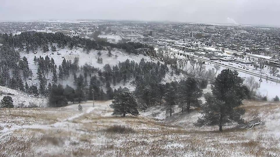
South Dakota, United States — 142 km
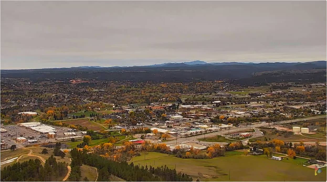
South Dakota, United States — 144 km
South Dakota, United States — 148 km
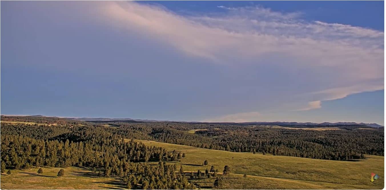
South Dakota, United States — 152 km
South Dakota, United States — 159 km
South Dakota, United States — 169 km
The current conditions and a three-day forecast for Kadoka are shown in the weather block on this page, updated as the page loads. Check it before planning a drive across the prairie.
The local time for Kadoka is shown on this page and follows the Mountain time zone used in western South Dakota. The clock updates automatically so you can match the live view.
The camera is in Kadoka, South Dakota, at roughly 43.85 degrees north and 101.47 degrees west, at an elevation of about 733 metres. The map on this page marks its position.
Early morning and late afternoon usually give the most interesting light on the plains, and summer storm season can produce dramatic skies. Compare the live view with the weather block to see what conditions are developing.
Partner links: we may earn a commission at no extra cost to you.