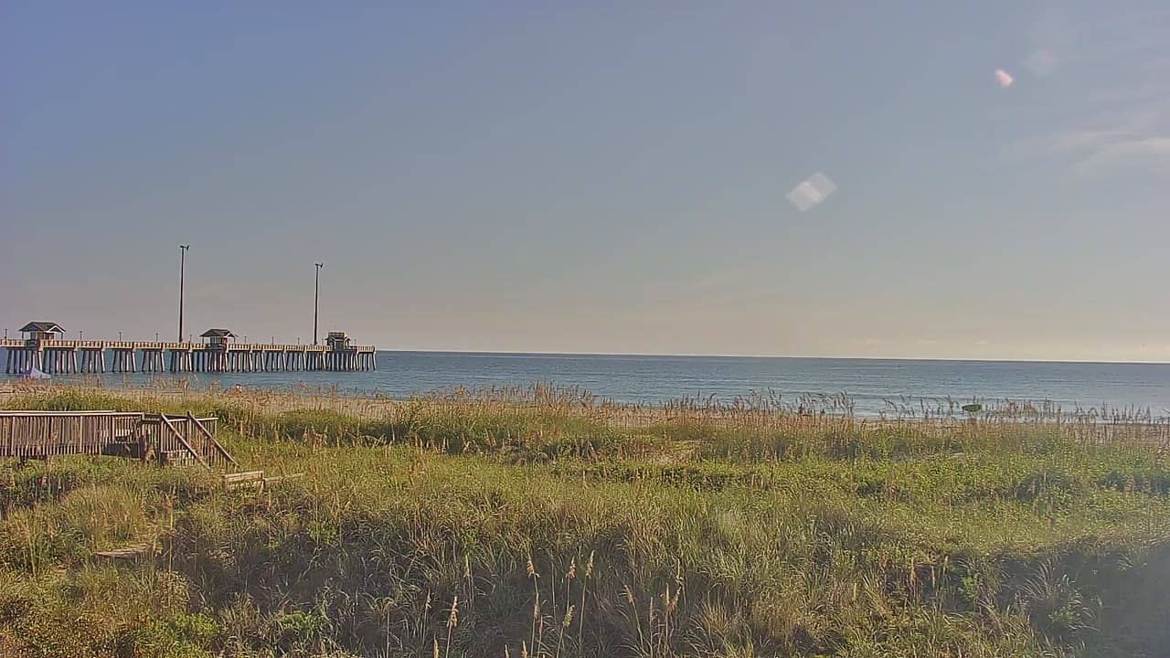
Nags Head - Jennette's Pier
North Carolina, United States — 16 km
Manteo - Bonner Pier
🇺🇸 North Carolina · United States
This live camera looks out from the Bonner Pier area of Manteo, on Roanoke Island in North Carolina's Outer Banks. It is a useful place to check the water and sky before heading out, or simply to see what the coast looks like right now. The live player, local time and weather are all shown on this page.
Manteo is the county seat of Dare County and sits on Roanoke Island, a narrow strip of land between Albemarle Sound and the Atlantic. The town is known for its waterfront, its historic district and its role as a gateway to the Outer Banks. Roanoke Island is also tied to the Lost Colony story of the 1580s, which draws visitors interested in early English settlement in America. The landscape is low, flat and shaped by marsh, sound and sea.
The camera shows a coastal waterfront view, so the most telling things to watch are the water state, wind on the surface and the light over the sound. Mornings often bring calmer water and softer light, while afternoons can bring stronger breezes and building clouds in summer. Changes in weather tend to show up quickly over open water, so the view is most rewarding when you check it before a trip out or during a change in the forecast.
The area has a humid subtropical climate, with hot, humid summers and mild winters. Late spring and early autumn are often the most comfortable seasons for being outdoors on the water. Getting around the Outer Banks usually means driving, and the bridge from the mainland is the main route in. Nearby cameras on this site include Jennette's Pier in Nags Head, the Town of Manteo Marina and the Soundside view in Rodanthe, which can help you compare conditions along the coast.
Local time and current weather for Manteo are shown on this page and update alongside the live view. The three-day forecast helps you plan when to check the camera again.
Source: earthcam.com
North Carolina, United States — 16 km

North Carolina, United States — 19 km
North Carolina, United States — 19 km

North Carolina, United States — 21 km
North Carolina, United States — 21 km
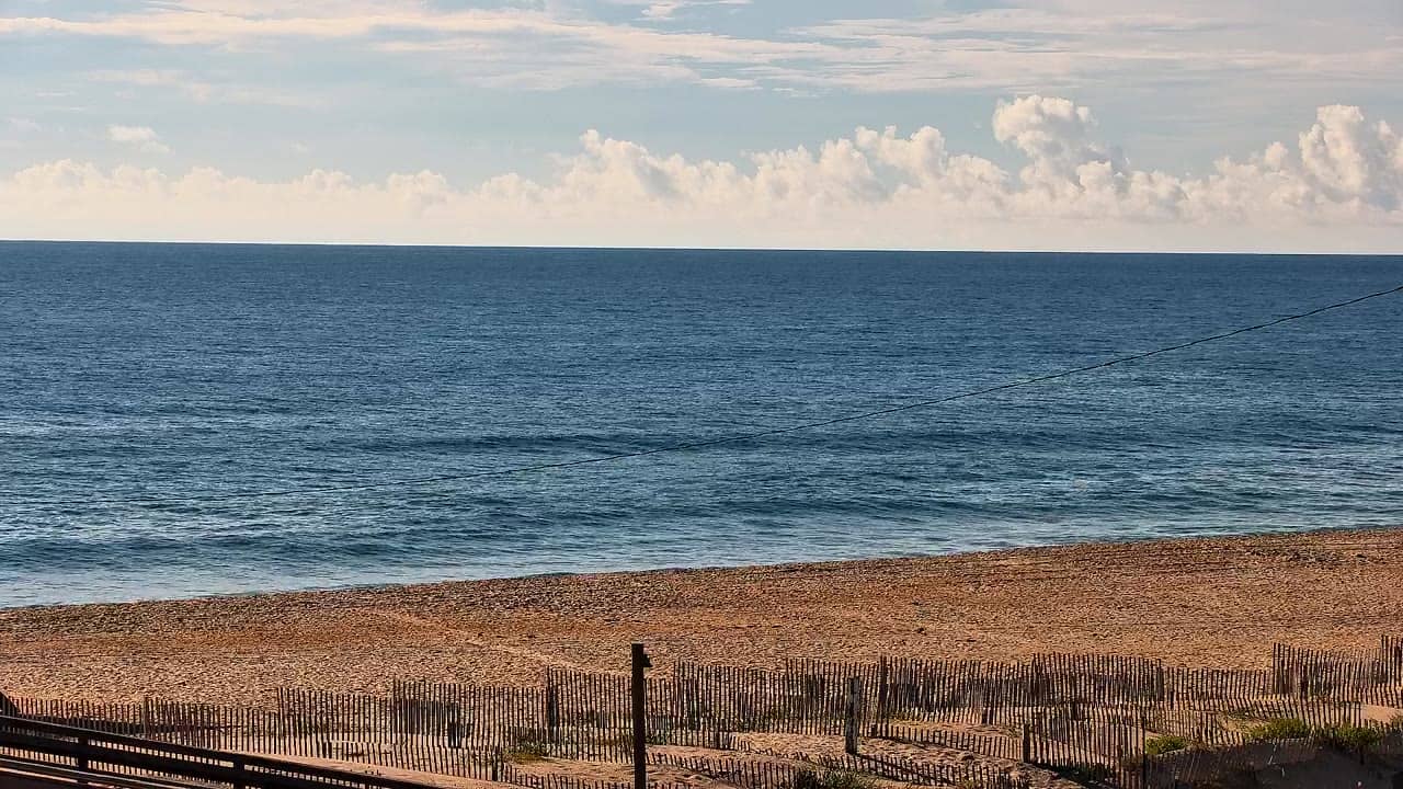
North Carolina, United States — 22 km
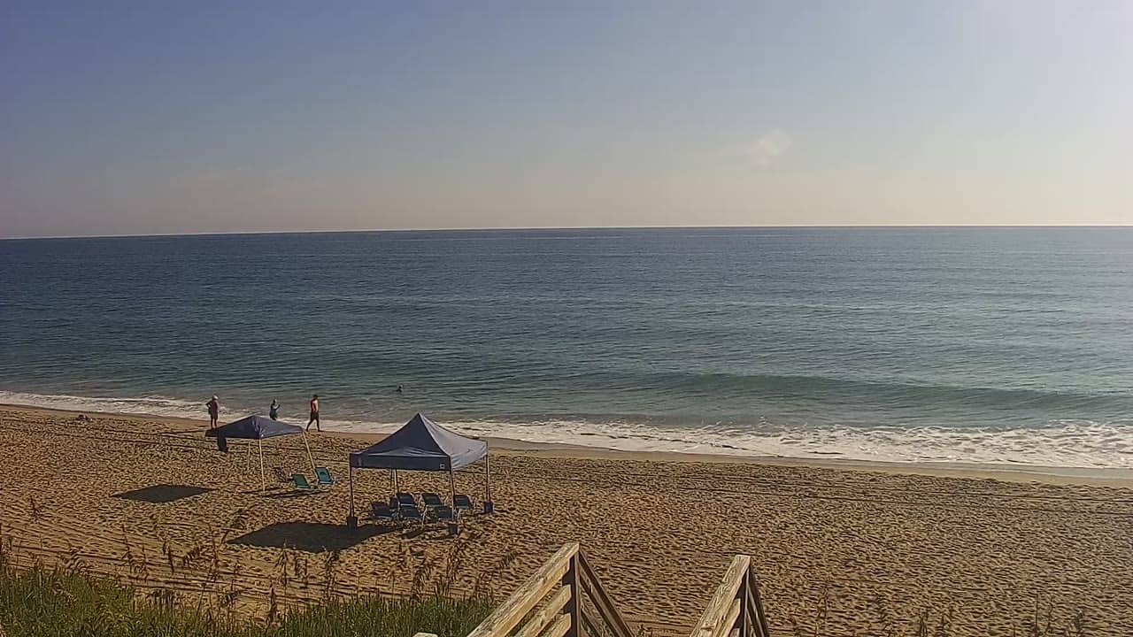
North Carolina, United States — 23 km
North Carolina, United States — 24 km
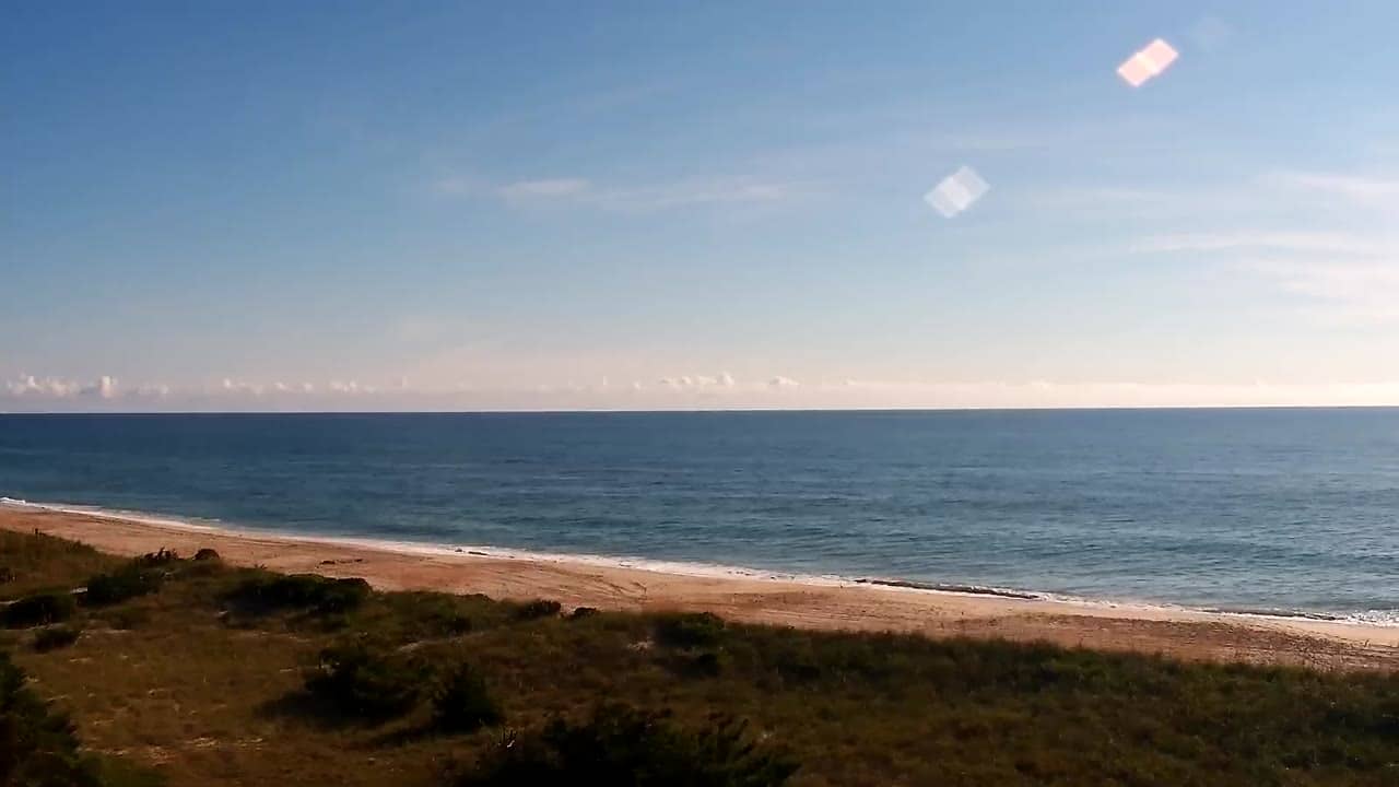
North Carolina, United States — 24 km
North Carolina, United States — 35 km
The current conditions and a three-day forecast for Manteo are displayed on this page next to the live camera. They are updated regularly, so check there rather than relying on a past reading.
The local time for Manteo is shown on this page. Manteo is on Eastern Time in the United States, and the clock on the page follows the local time of the camera.
The camera is located in Manteo on Roanoke Island, North Carolina, at approximately 35.77 degrees north and 75.54 degrees west. A map on this page marks its position among the surrounding area.
Mornings and late afternoons often give calm water and good light, while the weather on the Outer Banks can change quickly in summer. Checking the forecast on this page can help you pick a time when conditions look most interesting.
Partner links: we may earn a commission at no extra cost to you.