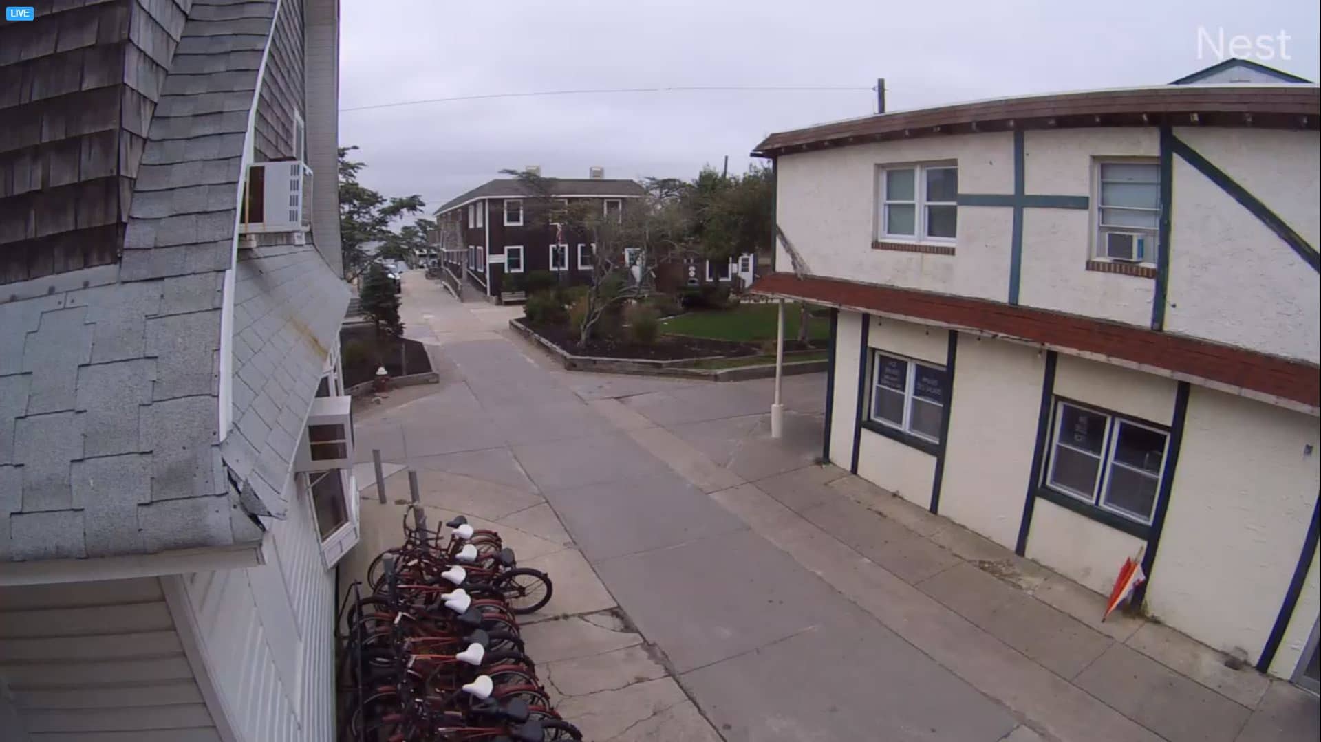
Fire Island
New York, United States — 6 km
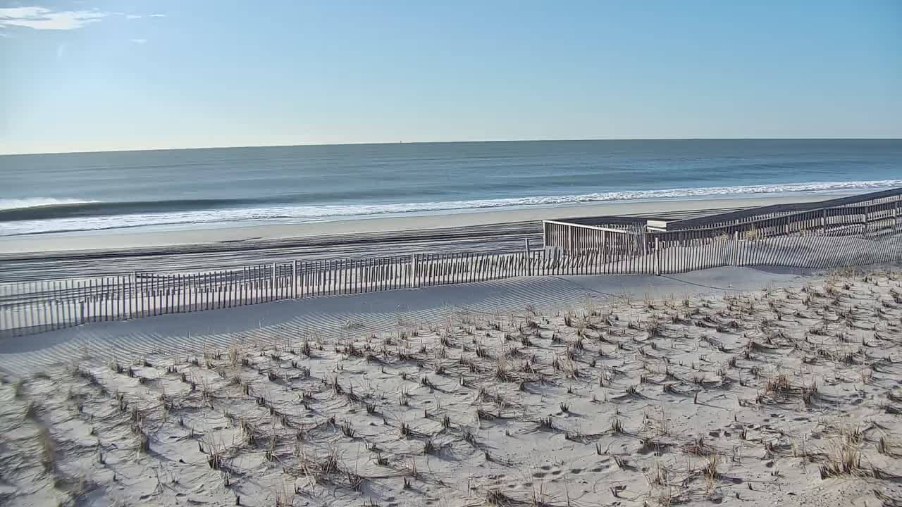
Fire Island - Beach
🇺🇸 New York · United States — Altitude 1 m
This live feed looks out over a beach on Fire Island, the long barrier island off the south shore of Long Island. It is useful for checking surf and beach conditions before a trip or simply watching the Atlantic from home. The page adds local time, weather and a map alongside the stream.
Fire Island is a narrow strip of sand separating the Great South Bay from the open Atlantic Ocean, reached mainly by ferry from the mainland. It is known for its dune landscape, protected national seashore land, and communities that have no through roads for cars. The island feels quiet and wind-swept compared with the busy beaches of nearby New York City, and its character changes noticeably from one stretch to the next.
The view centres on the beach and the ocean, so the most useful things to follow are wave size, wind direction, tide and the amount of people on the sand. Mornings often have calmer water and clearer air, while afternoons in summer tend to bring more visitors and stronger sea breezes. Conditions can shift quickly with weather fronts, so checking the live image shortly before you plan a visit is more reliable than relying on a single forecast.
Summers are warm and humid, with sea breezes keeping the coast cooler than inland New York, while spring and autumn bring cooler, windier days that suit long walks. Winter is cold and the island is much quieter. Most visitors reach it by passenger ferry from Bay Shore or Sayville, and it is worth planning a day trip around the schedule. Other shore cameras in the area, including Long Beach and East Massapequa, show how conditions differ along the south shore.
Source: thesurfersview.com
New York, United States — 6 km
New York, United States — 24 km
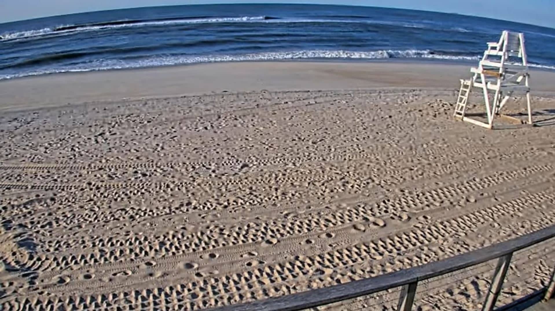
New York, United States — 25 km

New York, United States — 30 km

New York, United States — 30 km
New York, United States — 34 km

New York, United States — 37 km
New York, United States — 38 km
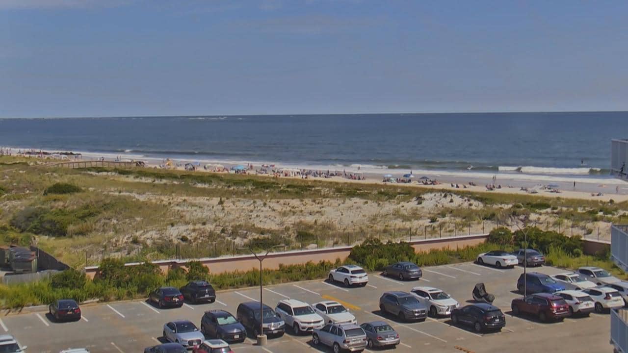
New York, United States — 40 km
New York, United States — 41 km
The current conditions and a 3-day forecast for Fire Island are shown in the weather block on this page. The figures update on their own, so you do not need to reload the page.
The local time for Fire Island is displayed on this page, following New York time including daylight saving changes.
The camera is on Fire Island off the south shore of Long Island in New York State, and the map on this page marks its position.
Early mornings often give calmer water and clearer views, while summer afternoons show the most activity. Checking the live view before a planned trip helps you judge surf and crowds.
Partner links: we may earn a commission at no extra cost to you.