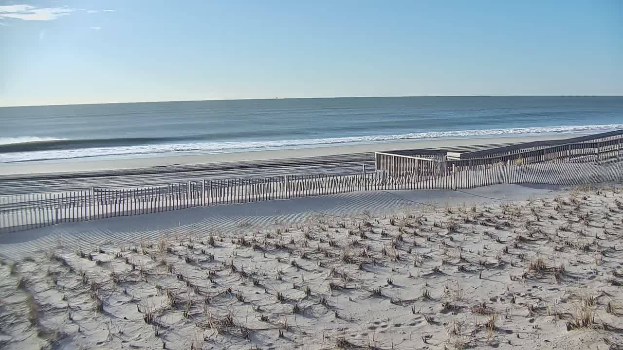
Fire Island - Beach
New York, United States — 6 km
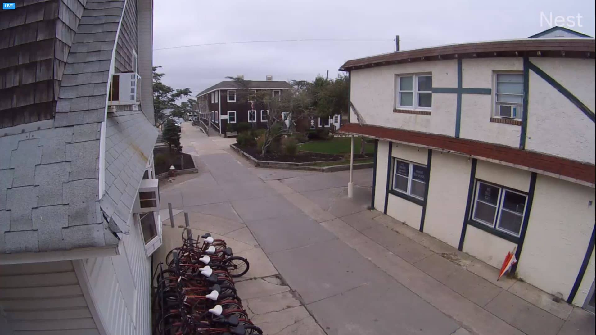
🇺🇸 New York · United States — Altitude 7 m
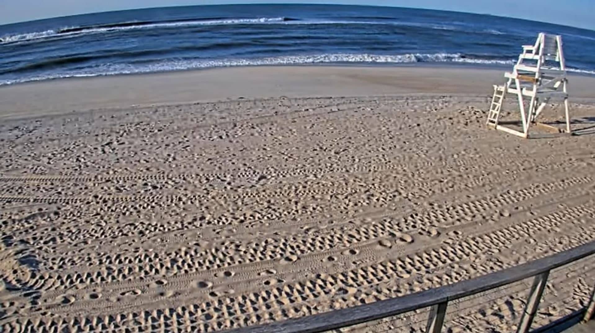
This live camera looks at Fire Island, the long barrier island off the south shore of Long Island in New York. It is a useful way to check on the ocean, the sand and the conditions along the coast before deciding whether to travel out there. The page also shows local time and the current weather with a three-day forecast.
Fire Island is a narrow strip of sand separating the Atlantic Ocean from the Great South Bay. It is part of Suffolk County and is known for its car-free communities, dunes, maritime forest and the Fire Island National Seashore. Most of the island can only be reached by ferry, which gives it a quieter, more natural character than much of the nearby New York coastline.
The view is a nature camera, so it is mainly useful for seeing the state of the shoreline, the surf and the sky. Morning often brings calmer water and clearer light, while late afternoon can be good for sunsets when skies are open. Storms, fog and winter swells change the view noticeably, so the live picture is a good way to judge conditions before a visit.
The island has a humid, temperate climate, with the warmest and most comfortable beach weather from June to early September. Winters are cold and windy, and some services close outside the summer season. Other coastal views nearby include the East Massapequa TOBAY Beach camera, the Long Beach camera and the Freeport Nautical Mile camera, which are useful for comparing conditions along the shore.
Because access depends on ferries and weather, it is worth checking the live picture and forecast on this page first. Wind, tide and visibility can change quickly along the barrier islands. The stream is provided by the source listed on the page, and VizCams links back to it for the most current details.
Source: Ocean Beach Police Departmen
New York, United States — 6 km

New York, United States — 24 km
New York, United States — 24 km
New York, United States — 25 km
New York, United States — 26 km
New York, United States — 28 km
New York, United States — 33 km
New York, United States — 36 km
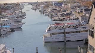
New York, United States — 36 km
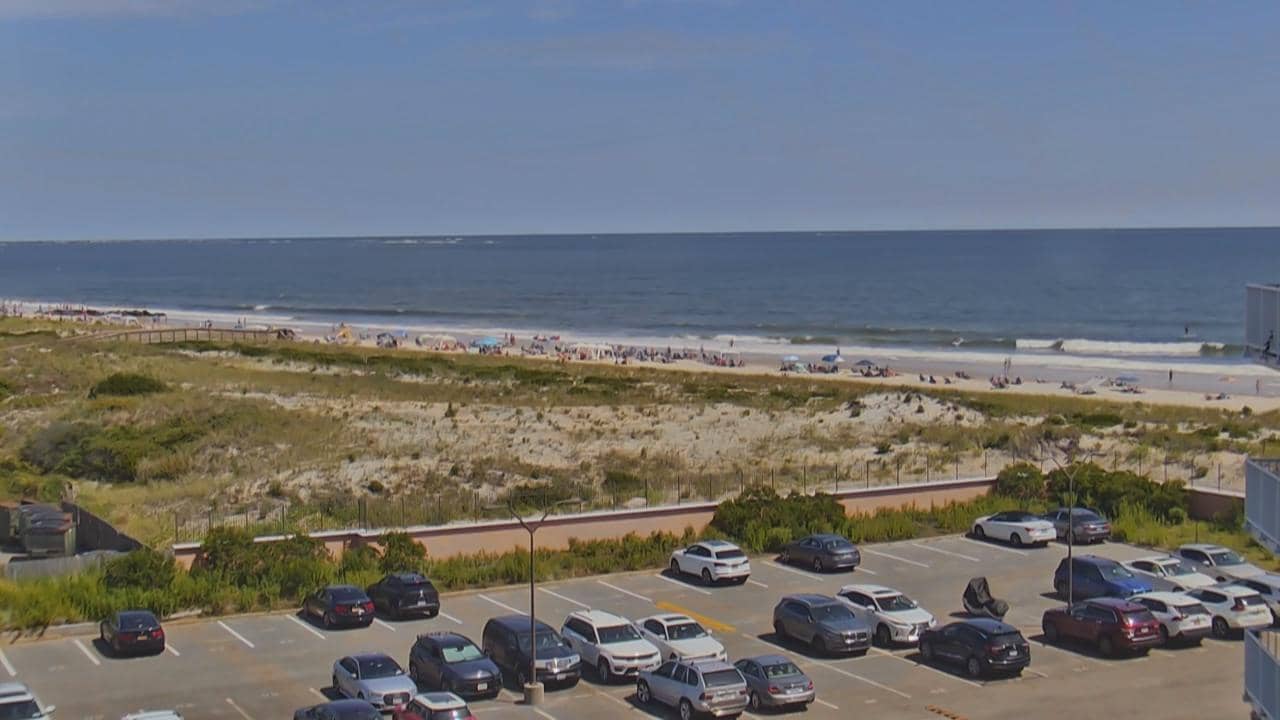
New York, United States — 40 km
The current conditions and a three-day forecast are shown in the weather block on this page. They update with the latest available data for the location.
The local time is displayed on this page and follows the Eastern time zone used on the New York coast.
The camera is on Fire Island, a barrier island off the south shore of Long Island, New York. The map on this page shows its position.
Early mornings and late afternoons often give the clearest light. Summer is the busiest season, while winter views can show stronger waves and rougher weather.
Partner links: we may earn a commission at no extra cost to you.