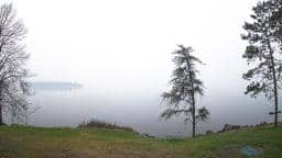
International Falls - Rainy Lake
Minnesota, United States — 4.1 km
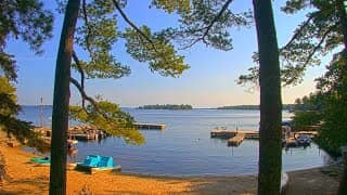
Koochiching County - Camp Idlewood
🇺🇸 Minnesota · United States — Altitude 345 m
This live stream is set at Camp Idlewood in Koochiching County, in the far north of Minnesota near the Canadian border. It gives a steady view of a northern Minnesota site, useful for anyone curious about the area or planning a trip. The player is embedded below, and the page adds local time and weather so you can judge conditions at a glance.
Koochiching County sits in the Northwoods of Minnesota, a region of conifer and mixed forest, lakes, peatlands and river valleys. The county is one of the largest in the state by area and is shaped by the Rainy River and the Canadian border to the north. Its character is quiet and remote, with long stretches of woodland and water and a small population spread across the landscape. Camp Idlewood belongs to this outdoor, lake-country setting.
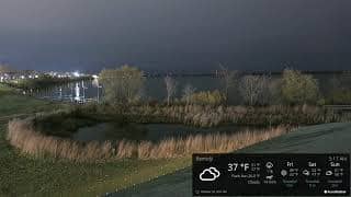
The title names a camp rather than a specific landmark, so it is best not to expect any particular feature in frame. Depending on the view, you may see tree lines, open sky, changing light and seasonal shifts such as green summer foliage, autumn colour or snow cover in winter. Early morning and late afternoon usually show the most interesting light, and weather changes are often the most visible detail.
Northern Minnesota has a continental climate with warm, humid summers and very cold winters, when snow and ice are common from late autumn into spring. Summer and early autumn are the most comfortable seasons for visiting the Northwoods. International Falls, roughly 9 km away, is the closest camera listed for the area, and Baudette, Sioux Narrows and Ely offer further views of the region.
Source: CamStreamer
Minnesota, United States — 4.1 km
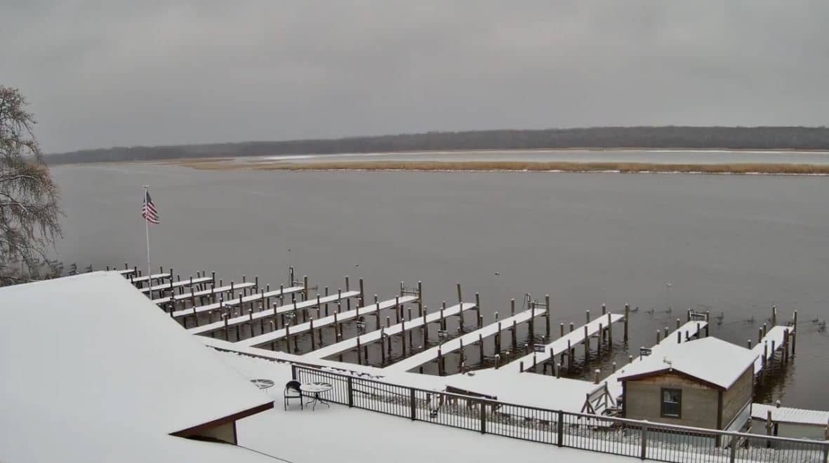
Minnesota, United States — 96 km
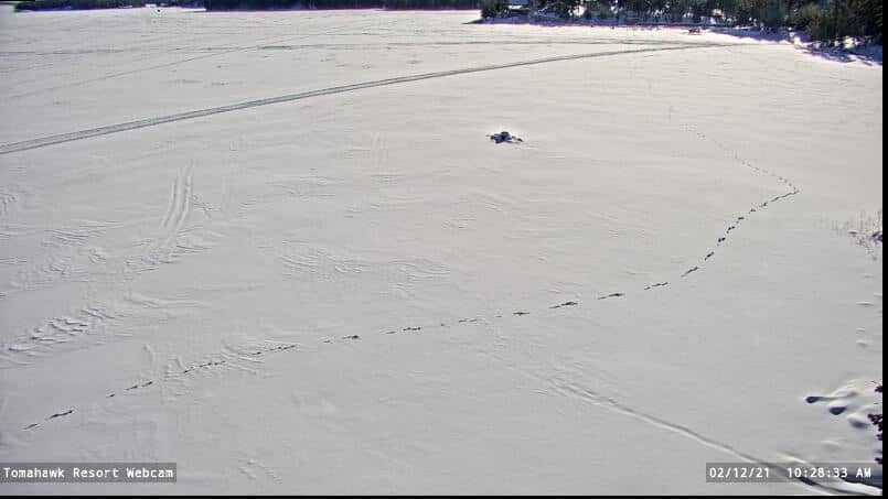
Ontario, Canada — 105 km
Minnesota, United States — 134 km

Minnesota, United States — 134 km
Minnesota, United States — 135 km
Minnesota, United States — 137 km
Minnesota, United States — 154 km
Minnesota, United States — 168 km
Minnesota, United States — 172 km
The current conditions and the three-day forecast for Koochiching County are shown in the weather block on this page, updated for the camera's location.
The local time for the camera is displayed on the page, following the Central Time zone used across this part of Minnesota.
The camera is in Koochiching County, Minnesota, near the Canadian border. The map on this page shows its position at approximately 48.61 N, 93.30 W.
Early morning and late afternoon usually offer the most interesting light, and summer or autumn show the clearest seasonal change. Winter views can be striking when snow covers the landscape.
Partner links: we may earn a commission at no extra cost to you.