Sioux Falls - TeamDigitAll Page
South Dakota, United States — 41 km
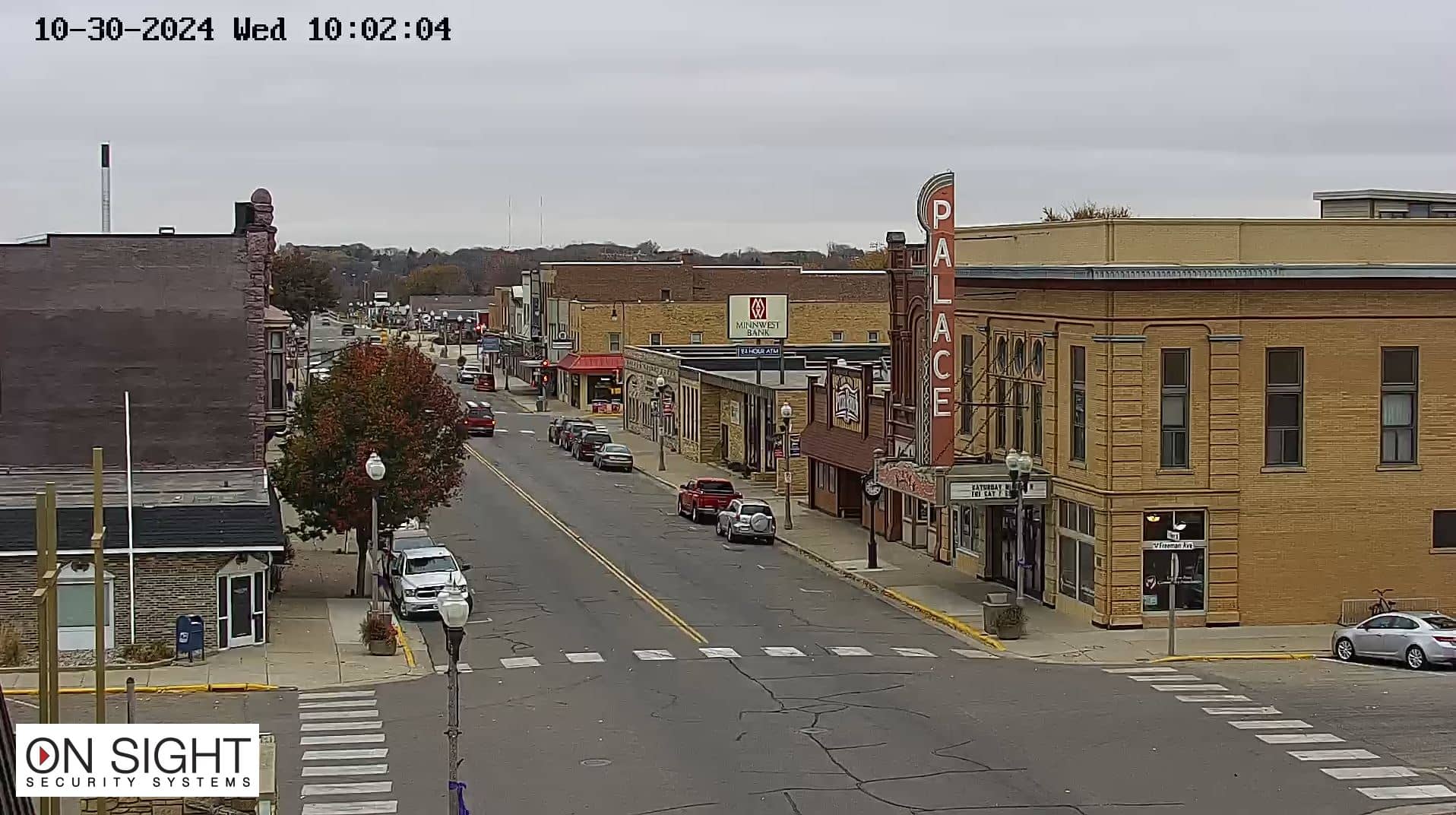
Luverne
🇺🇸 Minnesota · United States — Altitude 445 m
This live camera looks out over Luverne, a small city in the far southwest of Minnesota close to the South Dakota border. Its HD player is embedded directly from the source, so you can check conditions in town at any moment. The page adds local time, current weather and a map to help you plan.
Luverne is the county seat of Rock County and sits on the rolling prairie that defines this corner of Minnesota. It is known for its open skies, farmland and the Blue Mound State Park nearby, where bison roam a restored prairie. Elevation here is about 445 meters, and the flat, wide horizon means weather systems are easy to see coming from a distance.
Because the camera is listed under general views, the picture reflects the town and its surroundings rather than a specific landmark. Prairie weather changes quickly, so mornings with low cloud, summer storm build-ups and clear winter afternoons with snow on the ground are all worth watching. Daylight hours give the clearest image, and the stream runs as its owner provides it.
Southwest Minnesota has warm, humid summers and cold, snowy winters, with spring often windy and changeable. Late May through September is the most comfortable period for travel. Sioux Falls, South Dakota, about 41 km away, is the nearest larger city, and other cameras nearby include Sioux Center and Lakefield - Miloma Camera for comparison across the region.
Source: Luverne Webcam
South Dakota, United States — 41 km
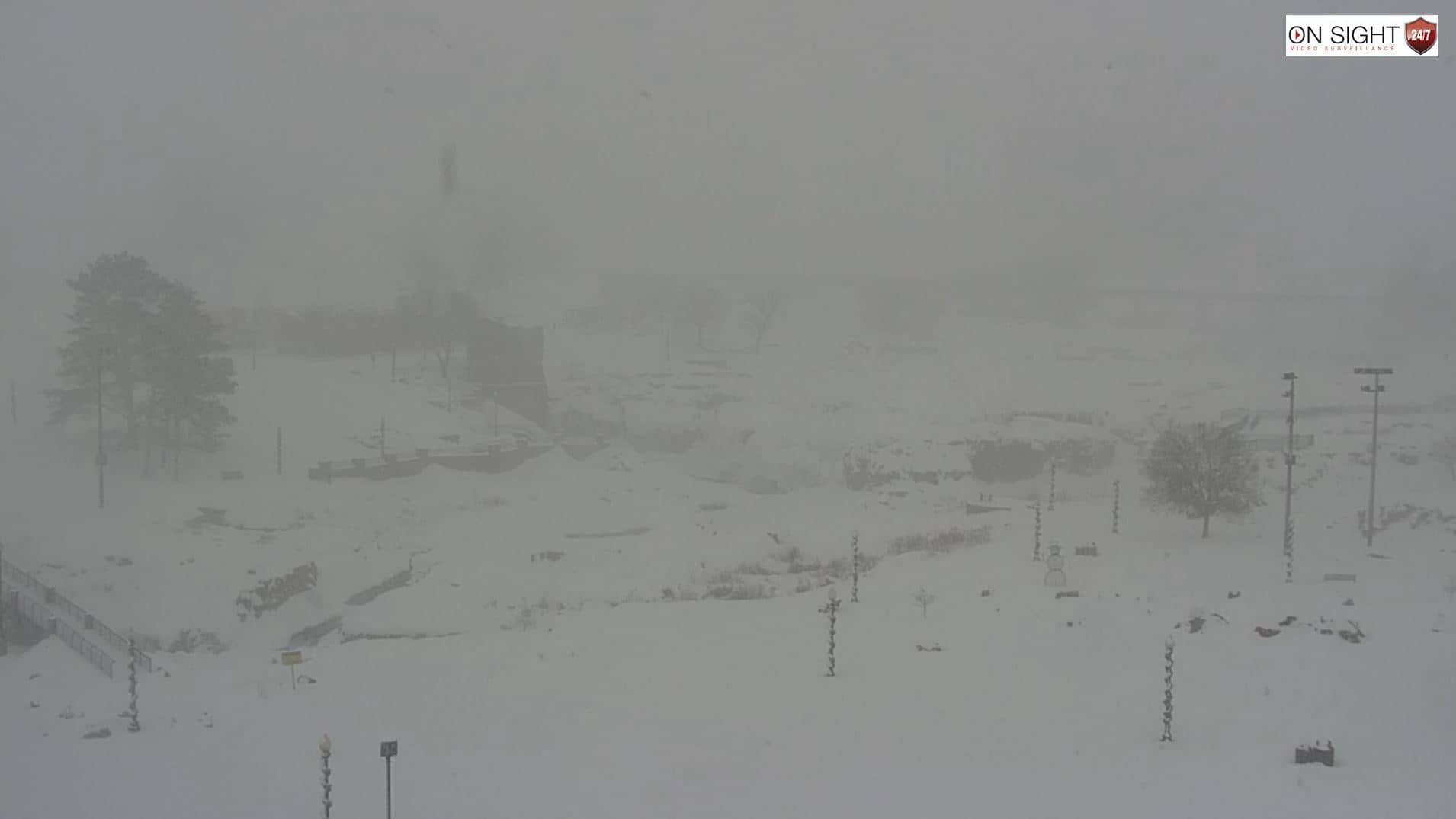
South Dakota, United States — 41 km
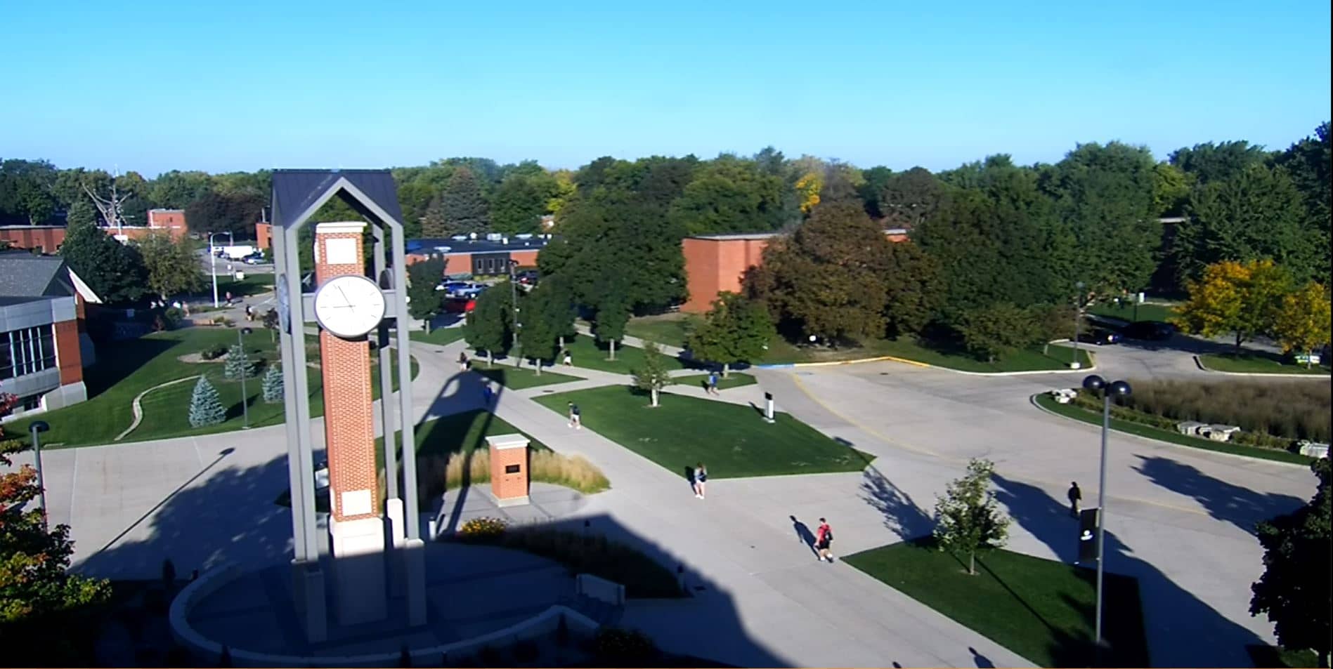
Iowa, United States — 64 km
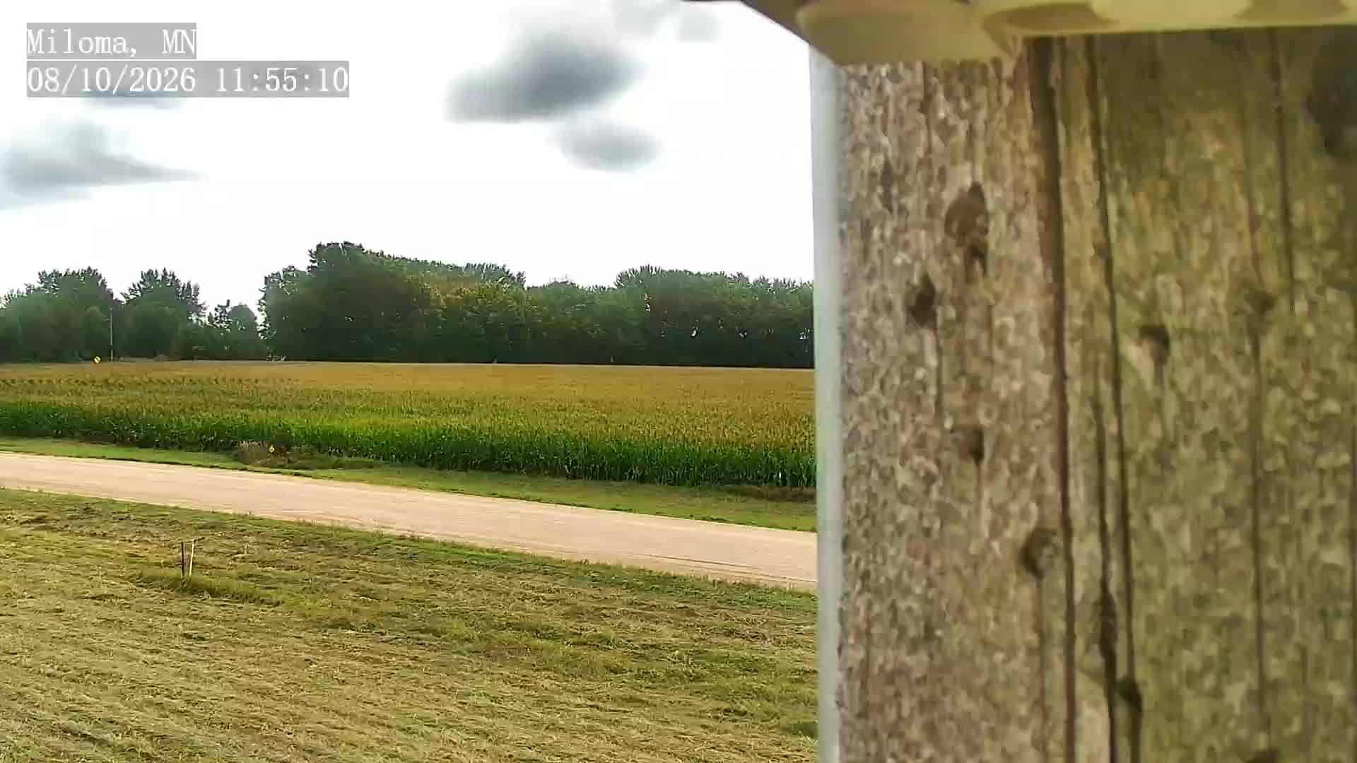
Minnesota, United States — 71 km
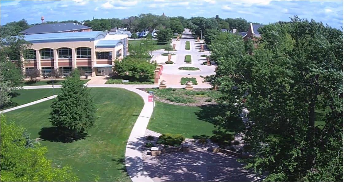
Iowa, United States — 74 km
South Dakota, United States — 75 km
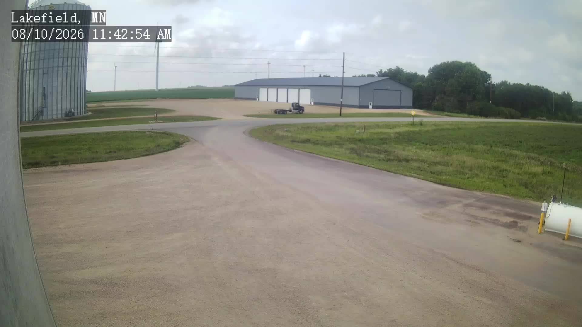
Minnesota, United States — 87 km
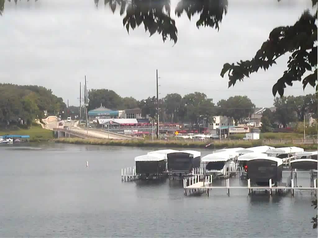
Iowa, United States — 95 km
Iowa, United States — 95 km

Iowa, United States — 96 km
Current conditions and a 3-day forecast for Luverne are shown in the weather block on this page. The values update automatically, so you do not need to refresh the page manually.
The local time for Luverne is displayed on this page and follows the Central time zone used across the area. The clock updates live alongside the camera.
The camera is located in Luverne, Rock County, in southwest Minnesota, at approximately 43.65 degrees north and 96.24 degrees west. The map on the page marks its position.
Daylight hours give the clearest view of the town and the surrounding prairie. Summer evenings and changing weather in spring are often the most interesting times to observe.
Partner links: we may earn a commission at no extra cost to you.