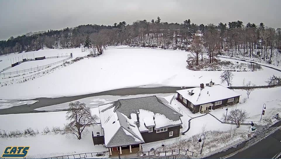
Northampton
Massachusetts, United States — 31 km

Turners Falls - Municipal Airport
🇺🇸 Massachusetts · United States — Altitude 99 m
This live stream looks over Turners Falls Municipal Airport, a small general aviation field in the Connecticut River valley of western Massachusetts. Watch it to see the airfield and check how conditions are developing before you head out or plan a flight.
Turners Falls sits on the Connecticut River in Franklin County, where the river drops over a series of falls and the surrounding hills give the valley a distinctly rural character. The municipal airport serves small aircraft and local flying, and it reflects the mix of farmland, forest and river towns that defines this part of New England. Elevation here is roughly 100 metres above sea level, which is modest but enough to matter for local weather.
The view centres on the airfield, so the most useful things to follow are the state of the runway, wind direction shown by any sock or the movement of trees beyond the field, and changes in cloud and visibility. Mornings in the valley often bring fog or low cloud, especially in autumn and spring, and afternoons can bring convective showers in summer. Watching at different hours shows how quickly the conditions shift.
Massachusetts has warm, humid summers and cold winters with regular snow, while spring and autumn are generally the mildest and clearest seasons. The town is close to the Pioneer Valley's larger centres, and nearby cameras in Northampton and Springfield show how conditions differ across the region. For sightseeing, the Connecticut River and surrounding hiking country are the main draws in the area.
Source: Boston and Maine Live
Massachusetts, United States — 31 km
New York, United States — 37 km
Massachusetts, United States — 51 km
Massachusetts, United States — 55 km
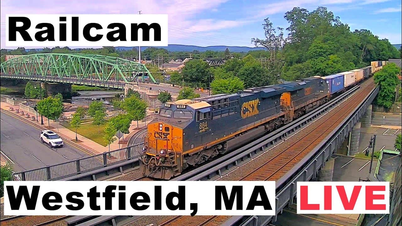
Massachusetts, United States — 55 km

Massachusetts, United States — 55 km
Maine, United States — 59 km
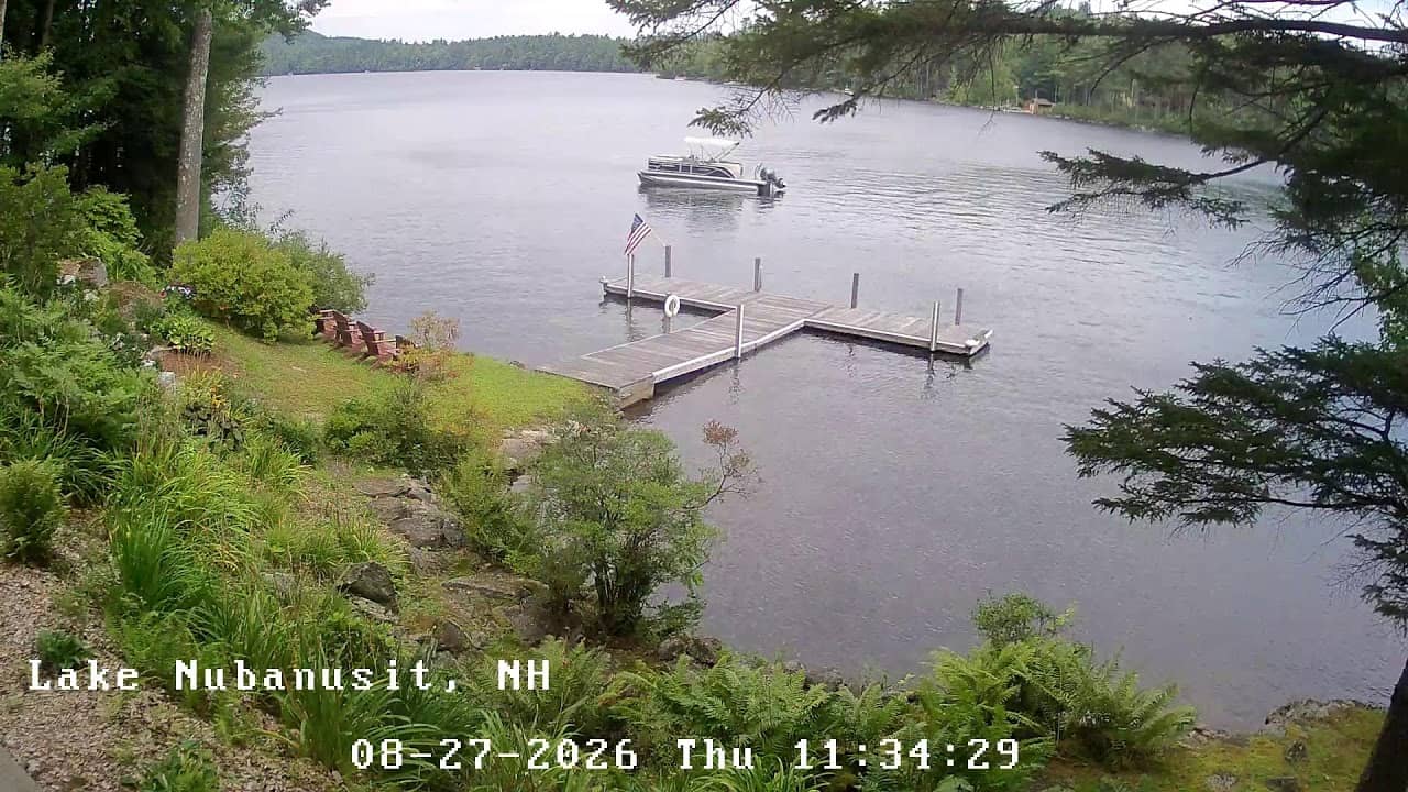
New Hampshire, United States — 60 km
Massachusetts, United States — 62 km
Massachusetts, United States — 64 km
The current conditions and a three-day forecast for Turners Falls are shown in the live weather block on this page, updated as the data changes.
The local time for Turners Falls is displayed on this page and follows the Eastern time zone used across much of the eastern United States.
The camera is located at the municipal airport in Turners Falls, Massachusetts, on the Connecticut River, and the map on this page marks its position.
Early mornings are useful for spotting fog and low cloud, while afternoons in summer often show changing skies. Clear spring and autumn days give the most stable views.
Partner links: we may earn a commission at no extra cost to you.