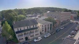
Lee - Town of Lee, Massachusetts
Massachusetts, United States — 16 km
🇺🇸 Massachusetts · United States — Altitude 320 m
This live camera looks at the broadcast tower of WTBR-FM on Eagle Street in Pittsfield, the largest city in the Berkshires of western Massachusetts. It is useful for a quick look at the sky and conditions over the hills. The page also shows the local time and a three-day forecast so you can judge what the day will bring.
Pittsfield sits in a valley surrounded by the Berkshire Hills, the southern part of the Appalachian chain that runs through New England. The city grew around manufacturing in the 19th and 20th centuries and is now better known as a gateway to the arts, mountain scenery and historic estates. Its surroundings are wooded and rolling, with lakes, farmland and small villages scattered across the valley floor and the ridgelines.
Because the view is centred on a radio tower, the most useful things to check are the sky, cloud cover, fog in the valley and the visibility toward the hills. Mornings in autumn often bring mist that lifts as the day warms, while clear winter afternoons can show the ridges sharply. Watching during changing weather fronts is especially interesting, as the hills can disappear and reappear within an hour.
The Berkshires have a humid continental climate with warm summers, cold snowy winters and springs that can be changeable. Early autumn and early summer are the most comfortable times for visiting the area. Pittsfield is reachable by car and by Amtrak connections in the region. Nearby cameras include Otis - Big Pond, Northampton, Albany and Springfield, which give other views across western Massachusetts.
Source: myearthcam.com
Massachusetts, United States — 16 km

Massachusetts, United States — 29 km
Massachusetts, United States — 31 km
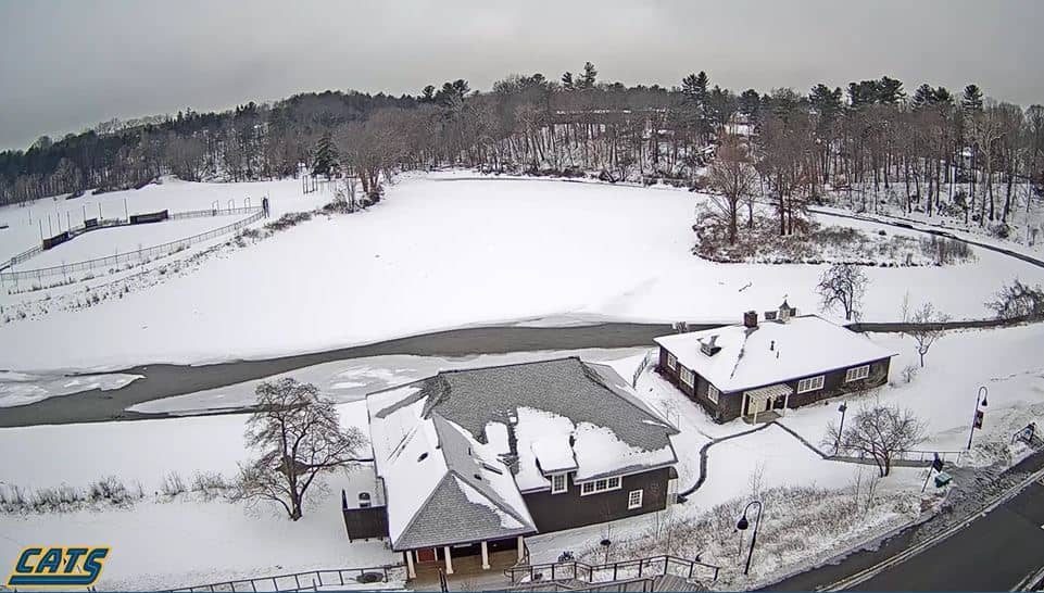
Massachusetts, United States — 53 km
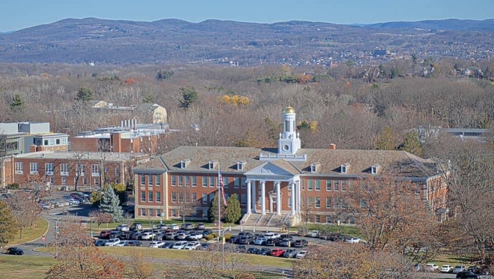
New York, United States — 54 km

Massachusetts, United States — 55 km

Massachusetts, United States — 55 km

Massachusetts, United States — 62 km
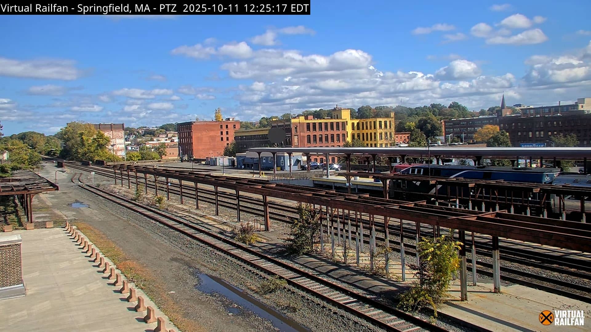
Massachusetts, United States — 67 km

Connecticut, United States — 68 km
The current conditions and a three-day forecast for Pittsfield are shown in the weather block on this page. The values update with the live data, so check there for temperature, wind and precipitation.
The local time for Pittsfield, Massachusetts, is displayed on this page and follows Eastern Time, including daylight saving changes.
The camera is on Eagle Street in Pittsfield, at roughly 42.45 north and 73.25 west, at about 320 metres above sea level. The map on the page shows the exact position.
Early mornings and late afternoons are often the most interesting, when light is low and mist or cloud on the hills is easiest to see. Clear days in autumn and winter give the sharpest view of the ridgelines.
Partner links: we may earn a commission at no extra cost to you.