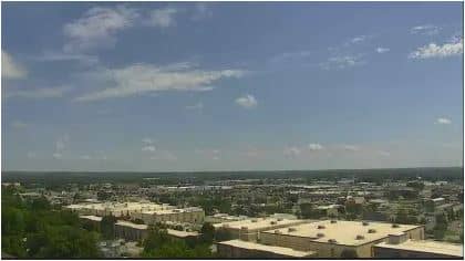
Manhattan
Kansas, United States — 28 km
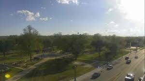
🇺🇸 Kansas · United States — Altitude 336 m
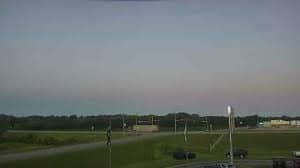
This live view covers traffic in Junction City, a town where the Smoky Hill and Republican rivers meet to form the Kansas River. It is useful for checking road conditions before driving through the area. The live player, local time and weather are all on this page.
Junction City sits in north-central Kansas near Fort Riley, one of the largest U.S. Army installations in the country. The surrounding land is part of the Flint Hills, a region of rolling tallgrass prairie known for its open skies and cattle ranching. The town grew up around the military post and the railroad, and it remains a practical crossroads for travel across the state.
As a traffic camera, this stream is aimed at the road rather than at scenery, so the most useful moments are the morning and late afternoon commutes when vehicle flow is heaviest. Depending on the view, you may see how traffic moves through intersections and along the main routes. Watching during bad weather can also show whether roads are slick or obstructed before you set out.
Kansas has a continental climate with hot summers, cold winters and sudden storms in spring, so conditions can change quickly. Junction City is connected to the Interstate 70 corridor, and Manhattan, about 28 km away, is the nearest larger city with more services. Other cameras in the region, including those in Clay Center and Hillsboro, are listed below for comparison.
Source: ksnt.com
Kansas, United States — 28 km
Kansas, United States — 46 km
Kansas, United States — 82 km
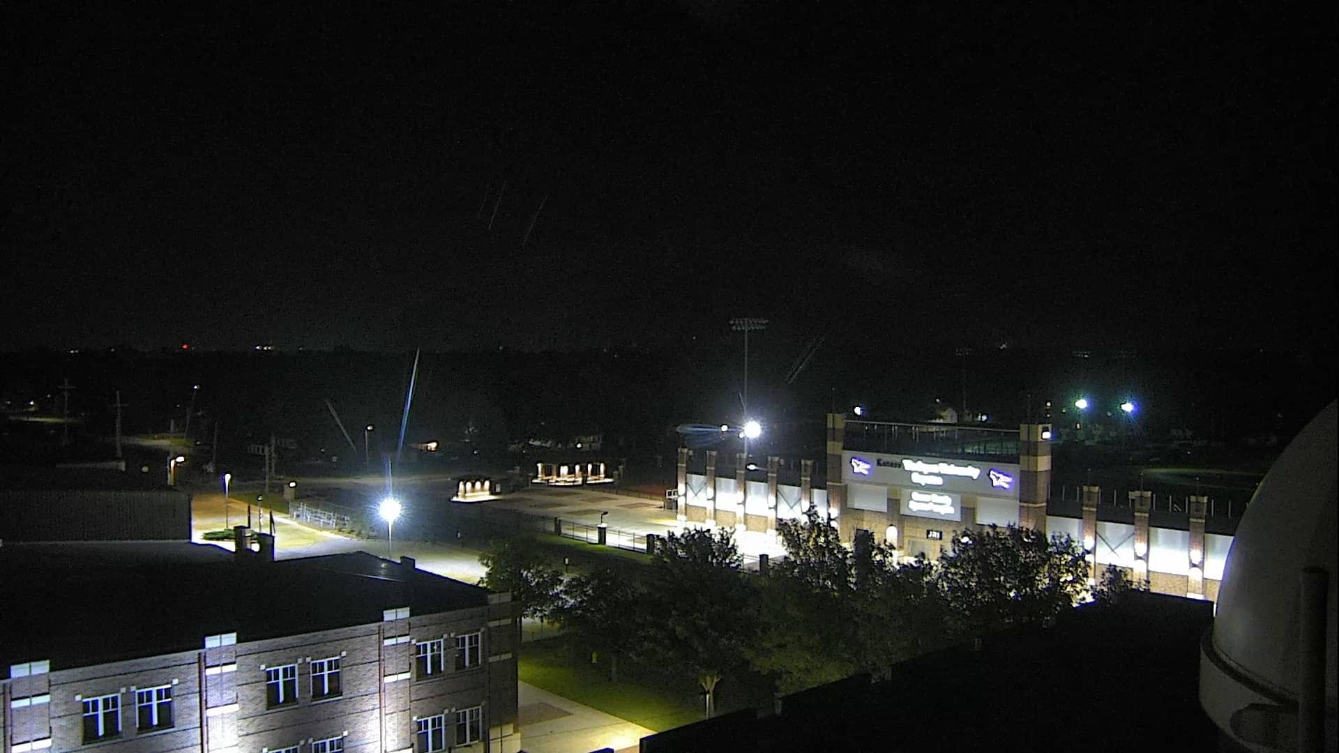
Kansas, United States — 86 km
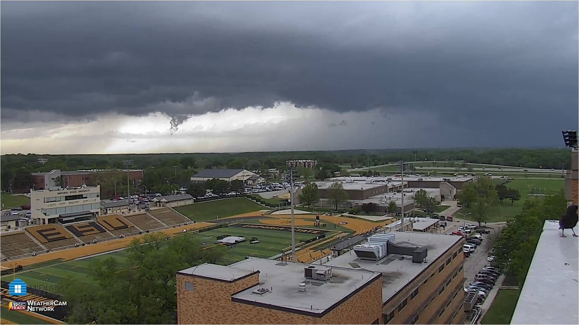
Kansas, United States — 88 km
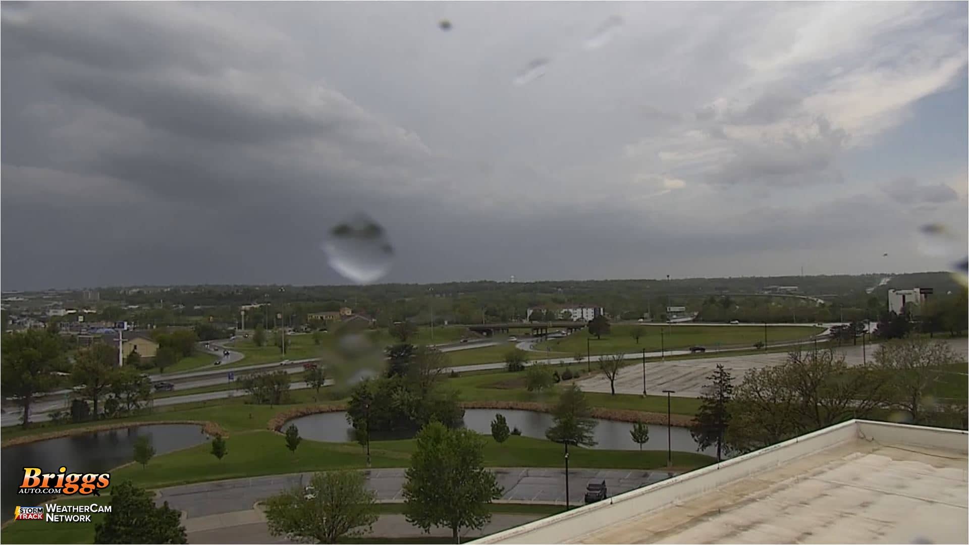
Kansas, United States — 92 km
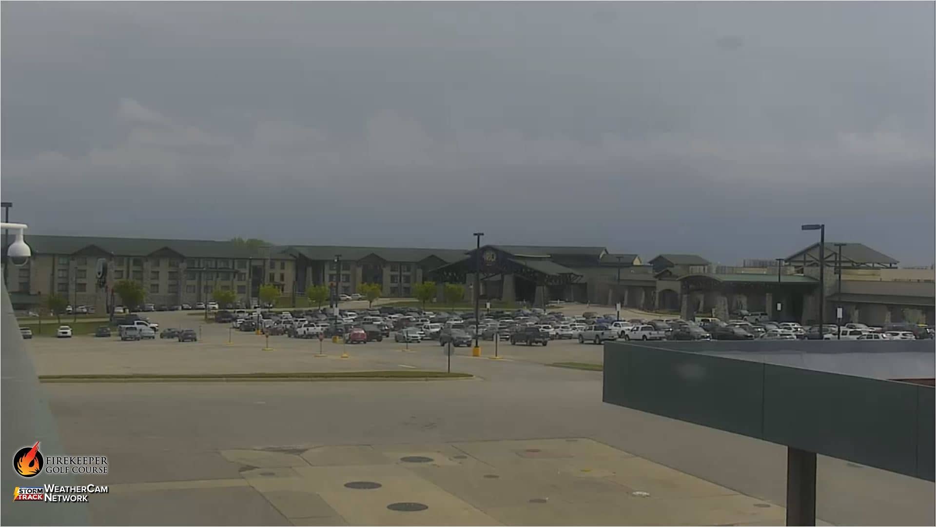
Kansas, United States — 94 km
Kansas, United States — 106 km
Kansas, United States — 111 km

Kansas, United States — 137 km
The current conditions and a three-day forecast for Junction City are shown in the weather block on this page. The figures update with the page, so check there before planning a trip.
The local time for Junction City, in the Central time zone, is displayed on this page and updates automatically. It is useful for matching the live view to daylight and rush-hour traffic.
The camera is located in Junction City, Kansas, at approximately 39.03 north and 96.83 west, at an elevation of about 336 metres. The map on this page marks its position.
Weekday mornings and late afternoons usually show the busiest traffic. For a quieter view, watch midday or on weekends, when roads are typically lighter.
Partner links: we may earn a commission at no extra cost to you.