Holton
Kansas, United States — 17 km
Mayetta
🇺🇸 Kansas · United States — Altitude 352 m
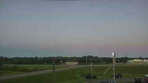
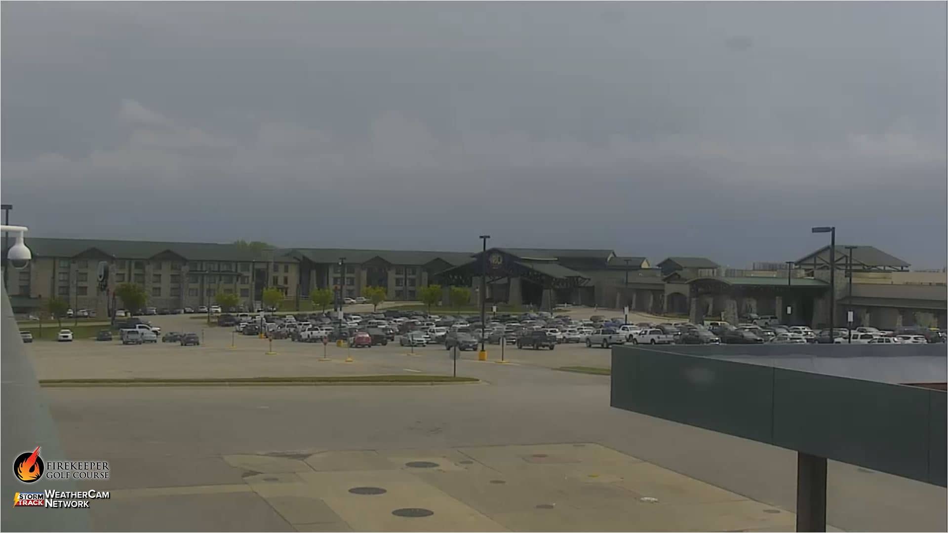
This live camera looks out over Mayetta, a small community in northeastern Kansas. The feed is a good way to check how the area looks right now, without a trip out to the Plains. Scroll down for current conditions, a map and cameras in the surrounding towns.
Mayetta sits in Jackson County, a rolling part of northeastern Kansas where farmland, grassland and small woodlots meet. The village is best known as the home of the Prairie Band Potawatomi Nation, whose presence shapes the local community and its services. The land here is open, with wide skies that make weather easy to read from a distance. Its elevation is modest, around 350 metres above sea level.
Because the title names only the place, the view is best understood as a typical rural Kansas scene; depending on the angle, you may see fields, roads, trees and the sky. Mornings often bring calm, clear light, while late afternoon can show towering clouds in warmer months. Spring and early summer are the most dynamic seasons, when storms can build quickly and change the scene within minutes.
Kansas has a continental climate with hot summers, cold winters and real swings between them, so check the live weather block before you decide what to expect. Spring and autumn are generally the most comfortable times to be outdoors. Mayetta is a short drive from Holton and Topeka, and the nearby cameras on this page cover those towns and Lawrence, which make useful comparisons.
Source: ksnt.com
Kansas, United States — 17 km
Kansas, United States — 31 km
Kansas, United States — 61 km

Kansas, United States — 64 km
Kansas, United States — 67 km
Kansas, United States — 94 km
Missouri, United States — 98 km
Kansas, United States — 100 km
Kansas, United States — 106 km
Kansas, United States — 107 km
The current conditions and three-day forecast for Mayetta are shown in the weather block on this page. They update with the page, so you can compare them with what the camera shows.
The local time for Mayetta is displayed on this page and follows the Central time zone used across this part of Kansas.
The camera is located in Mayetta, in Jackson County, northeastern Kansas. The map on this page marks its position so you can see how close it is to nearby towns.
Late afternoon and early evening often show the most changing light, and in spring and summer storm clouds can build quickly. Check the live weather block alongside the feed to plan your viewing.
Partner links: we may earn a commission at no extra cost to you.