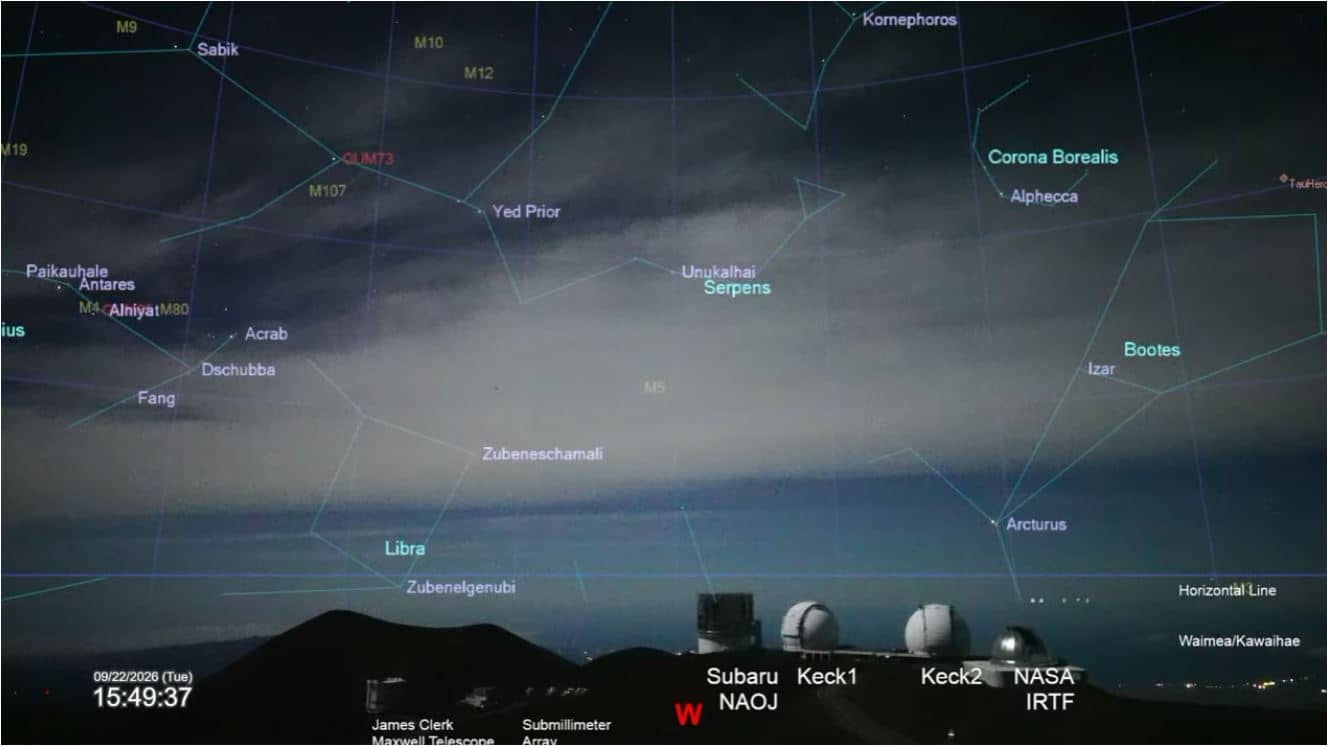
Mauna Kea - Maunakea Western Star map
Hawaii, United States — 50 km
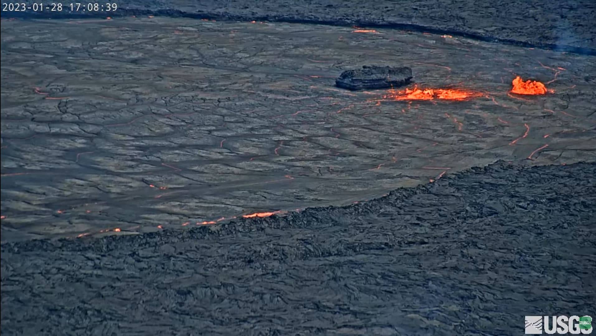
Volcan Kilauea
🇺🇸 Hawaii · United States — Altitude 1103 m
This live feed looks toward Kilauea, one of the most active volcanoes on Earth, on the Island of Hawai'i. People watch it to follow the volcano's mood from a distance, whether it is a calm summit or a glowing vent in the dark. The page also shows local time and conditions so you can plan your view.
Kilauea is a shield volcano in Hawaii Volcanoes National Park, rising to about 1,100 metres above sea level. Its broad, gently sloping profile was built by countless lava flows over thousands of years. The summit caldera and the rift zones that run from it are the core of the island's volcanic landscape, and the surrounding terrain is a mix of old lava fields, steaming craters and rainforest.
The title names the volcano itself, so the view is centred on the summit area rather than a town or harbour. Activity can vary from day to day, and the most interesting moments are often in the evening or at night, when any glow from the crater is easier to pick out. Clouds and volcanic gas can hide the summit for hours, so it is worth checking back at different times of day.
The summit area has a mild, humid climate with frequent showers, and temperatures are noticeably cooler than at the coast because of the altitude. Air quality can be affected by volcanic gas, so check current advisories before visiting. Nearby on the Big Island you can also watch Waikoloa and Mauna Kea - Subaru Telescope, and further afield Maui and Wailea-Makena.
Source: Volcan Kilauea Webcam
Hawaii, United States — 50 km
Hawaii, United States — 50 km

Hawaii, United States — 71 km

Hawaii, United States — 72 km

Hawaii, United States — 83 km
Hawaii, United States — 84 km

Hawaii, United States — 85 km

Hawaii, United States — 184 km

Hawaii, United States — 185 km

Hawaii, United States — 185 km
The current conditions and three-day forecast for the volcano area are shown in the live weather block on this page. Because the summit is high and often cloudy, conditions can differ a lot from the coast.
The local time for the volcano is displayed on this page and updates live. Hawaii does not observe daylight saving time, so the offset from mainland US time stays the same all year.
The camera is at the Kilauea volcano area on the Island of Hawai'i, at about 1,100 metres altitude. The map on this page shows its location within Hawaii Volcanoes National Park region.
Evenings and nighttime are often the most rewarding, since any glow from active vents is easier to see against the dark. Clear mornings can also show the summit well when clouds are light.
Partner links: we may earn a commission at no extra cost to you.