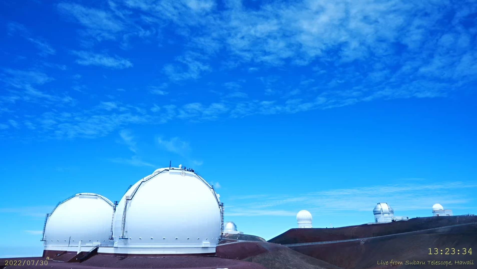
Mauna Kea - Subaru Telescope
Hawaii, United States — 0.5 km
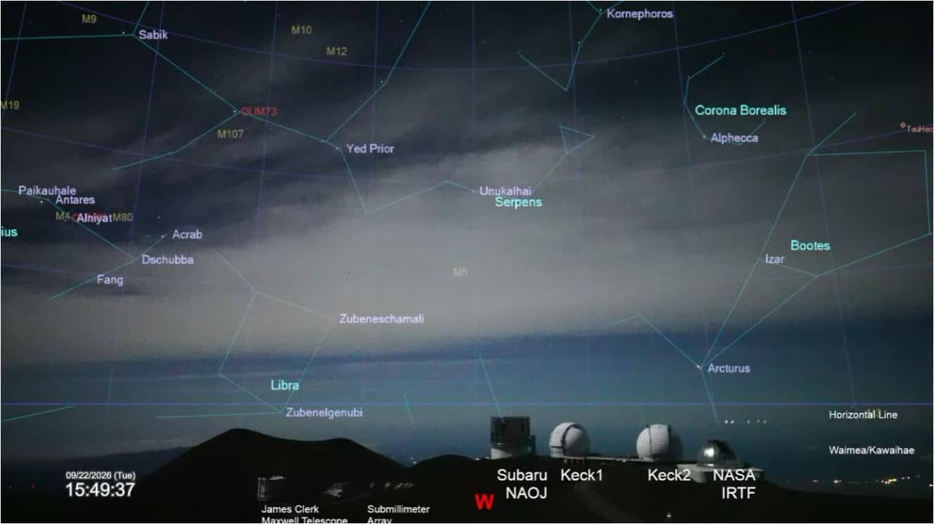
Mauna Kea - Maunakea Western Star map
🇺🇸 Hawaii · United States — Altitude 4205 m
This live stream follows the summit area of Mauna Kea, the dormant volcano that rises above the island of Hawaii. Its high-altitude observatories and dry, clear air make the mountain one of the most watched sites in the world for astronomy. Use the feed to get a sense of conditions at the top before planning a visit.
Mauna Kea is a shield volcano on the Big Island, reaching about 4,205 metres above sea level. Its summit sits above most of the Earth's atmospheric moisture, which is why a cluster of major telescopes was built there. The slopes are sparse and volcanic, with cinder cones, alpine desert and a landscape that changes quickly with altitude. The mountain holds deep cultural significance for Native Hawaiians and is treated with care by visitors.
The title refers to the Western Star map, so the view is aimed at the summit area and its observatory setting rather than the coast. Because the stream is live and depends on the weather, clouds and fog can hide the summit for hours. Clear nights and early mornings are often the most rewarding times to look, when the sky is at its sharpest and the summit is most visible.
The summit is cold, windy and thin in oxygen, and temperatures can drop well below freezing even when the coast is warm. A four-wheel drive vehicle is needed for the upper access road, and visitors are advised to acclimatise and check current road and weather information before going up. Nearby cameras on the Kohala and Kona coasts, including the Hapuna Beach and Waikoloa views, offer a contrast with the lower, warmer side of the island.
Source: youtube.com
Hawaii, United States — 0.5 km

Hawaii, United States — 41 km

Hawaii, United States — 43 km

Hawaii, United States — 45 km
Hawaii, United States — 50 km

Hawaii, United States — 59 km

Hawaii, United States — 59 km

Hawaii, United States — 137 km

Hawaii, United States — 138 km

Hawaii, United States — 139 km
The current conditions and the three-day forecast are shown in the live weather block on this page. Summit weather can differ sharply from the coast, so check it before you plan any trip up the mountain.
The camera is located on the Big Island of Hawaii, at the summit area of Mauna Kea at about 4,205 metres altitude. The map on this page shows its exact position and the surrounding terrain.
The local time for Hawaii is displayed on this page, and it follows Hawaii time with no daylight saving changes. Use the clock block to see the current time at the camera location.
Clear nights and early mornings tend to offer the sharpest views, while clouds often hide the summit in the afternoon. Because the stream is live, conditions can change quickly, so check back at different times of day.
Partner links: we may earn a commission at no extra cost to you.