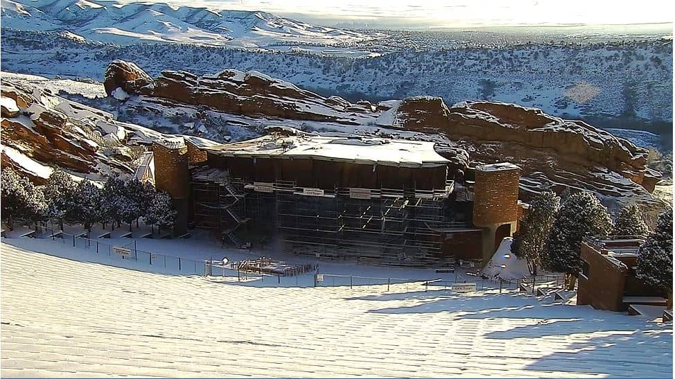
Golden
Colorado, United States — 18 km
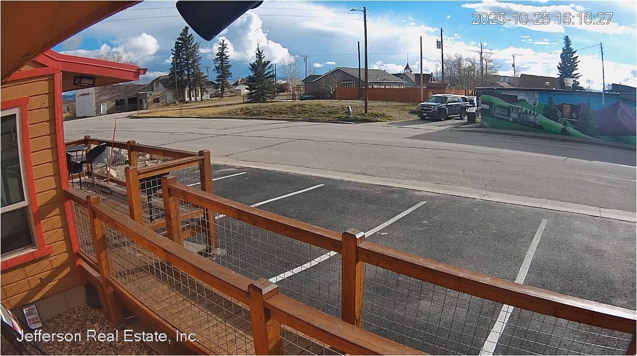
🇺🇸 Colorado · United States — Altitude 2500 m
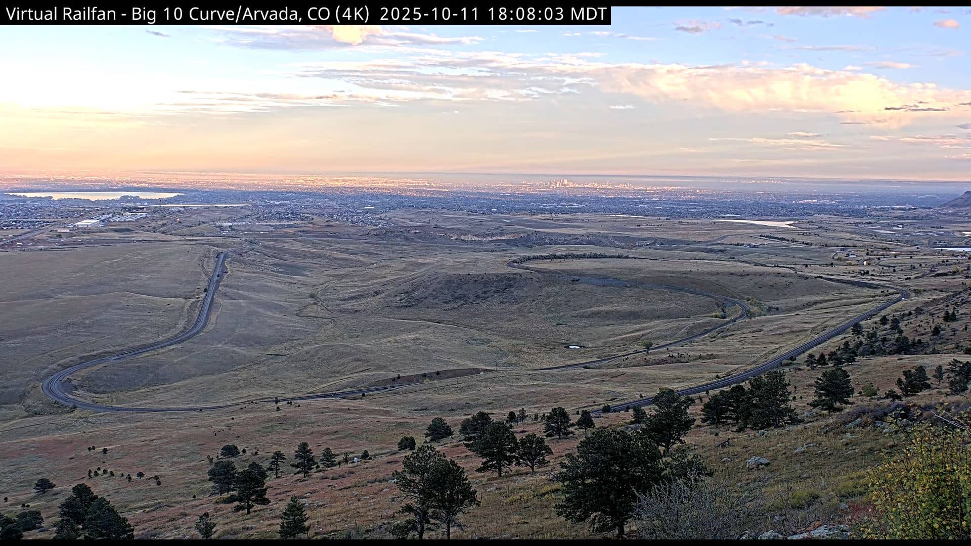
This live stream follows US Route 285 through Jefferson County, in the foothills west of Denver, at roughly 2,500 metres above sea level. It is useful for checking how the mountain road looks right now, whether conditions are clear or snowy, and what the weather is doing before you drive into the high country.
Jefferson County sits on the eastern edge of the Rocky Mountains, where the open plains meet the first ridges and canyons. Route 285 is one of the main roads climbing from the Denver metro area toward the mountain towns and the high passes. The landscape mixes pine forest, rocky slopes and wide views back over the city and the plains, and the air is thin and dry at this height.
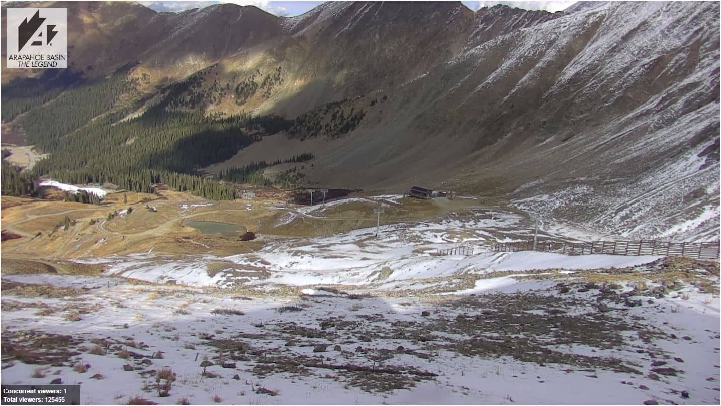
Since the camera is aimed at a mountain road, the most telling things to watch are traffic flow, road surface and visibility of the ridgelines. Mornings are often clear before afternoon clouds build over the peaks, and winter brings snow and icy patches that can change quickly. Mountain weather in Colorado is known for sudden storms, so the view can shift within an hour.
Colorado's Front Range has a semi-arid climate with plenty of sunshine, cold winters and warm, sometimes stormy summers. Late spring through early autumn is the usual period for easy mountain driving. Nearby cameras in Golden, Arvada and Denver give a wider picture of conditions along the Front Range and the approach to the mountains.
Source: Jefferson Real Estate
Colorado, United States — 18 km
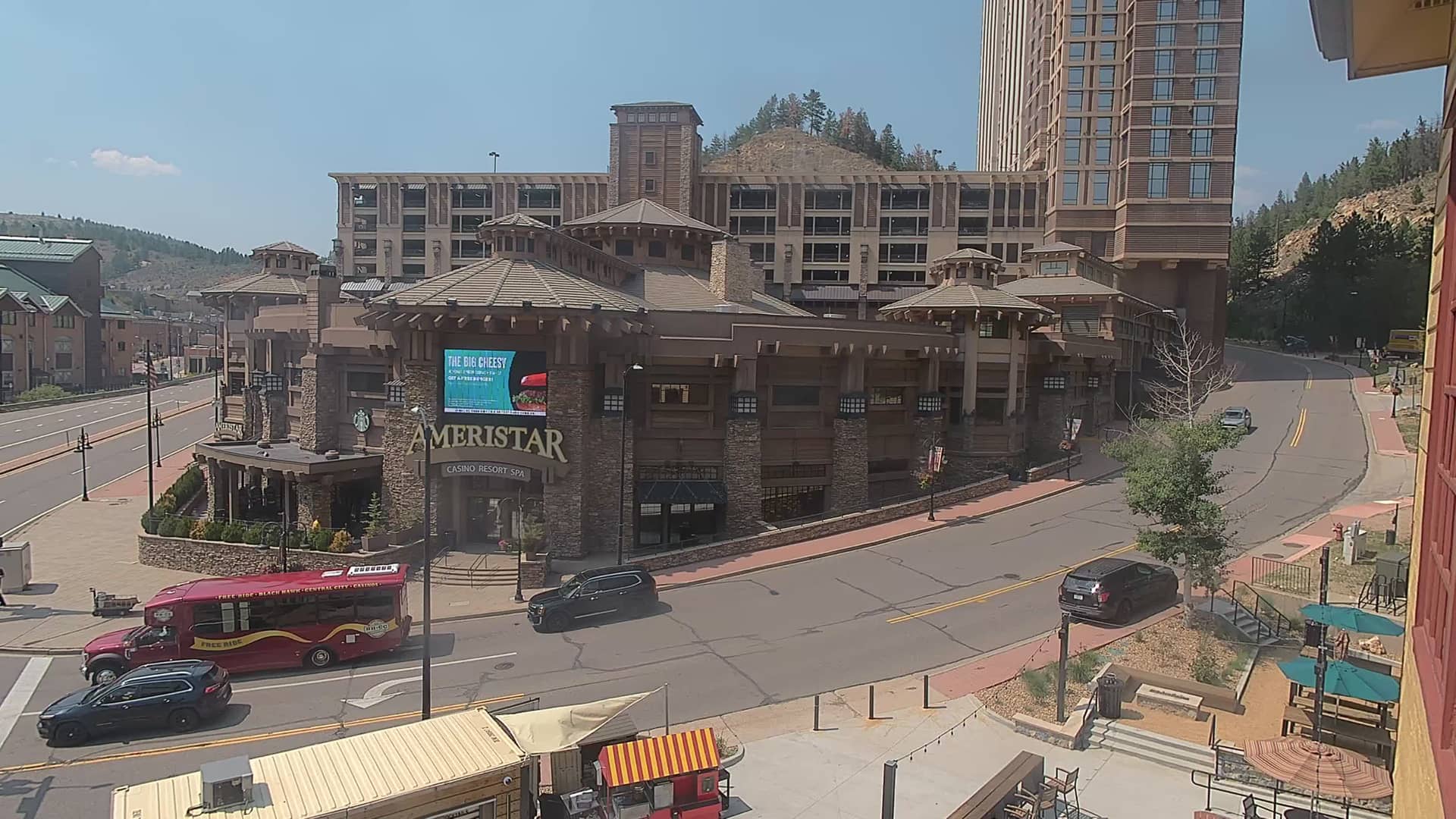
Colorado, United States — 35 km
Colorado, United States — 36 km
Colorado, United States — 37 km

Colorado, United States — 42 km
Colorado, United States — 51 km
Colorado, United States — 52 km
Colorado, United States — 55 km
Colorado, United States — 56 km
Colorado, United States — 56 km
The current conditions and a three-day forecast are shown in the live weather block on this page. Mountain weather can change quickly, so check it before a trip.
The local time is shown on this page and updates with the live view, based on Mountain Time in Colorado.
The camera is on US Route 285 in Jefferson County, Colorado, at about 2,500 metres altitude. The map on this page shows its position in the foothills west of Denver.
Mornings are often clearest, and winter or early spring is the time to watch for snow and road conditions. Checking the weather block first helps you pick the right moment.
Partner links: we may earn a commission at no extra cost to you.